0
0€
购物车是空的
您的购物车中没有商品


分区 : 旅行与地方志
已售
保证真品
每一册均由本店逐一检视并描述。自1993年起从事专业古书经营。
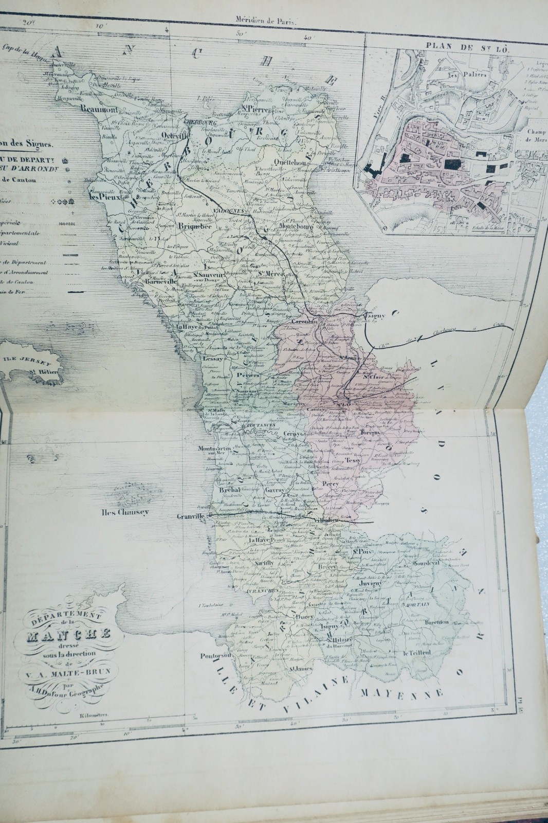
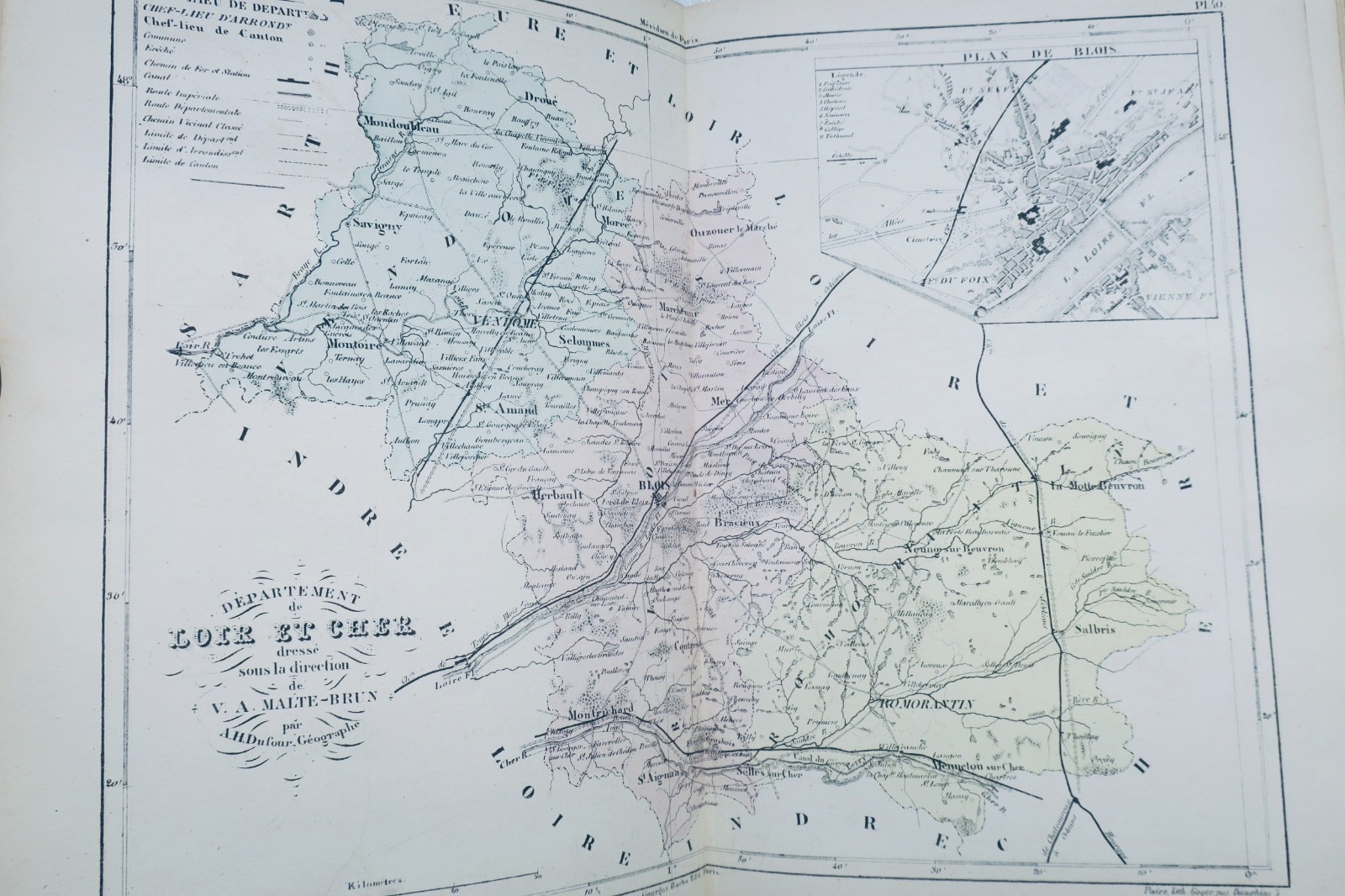
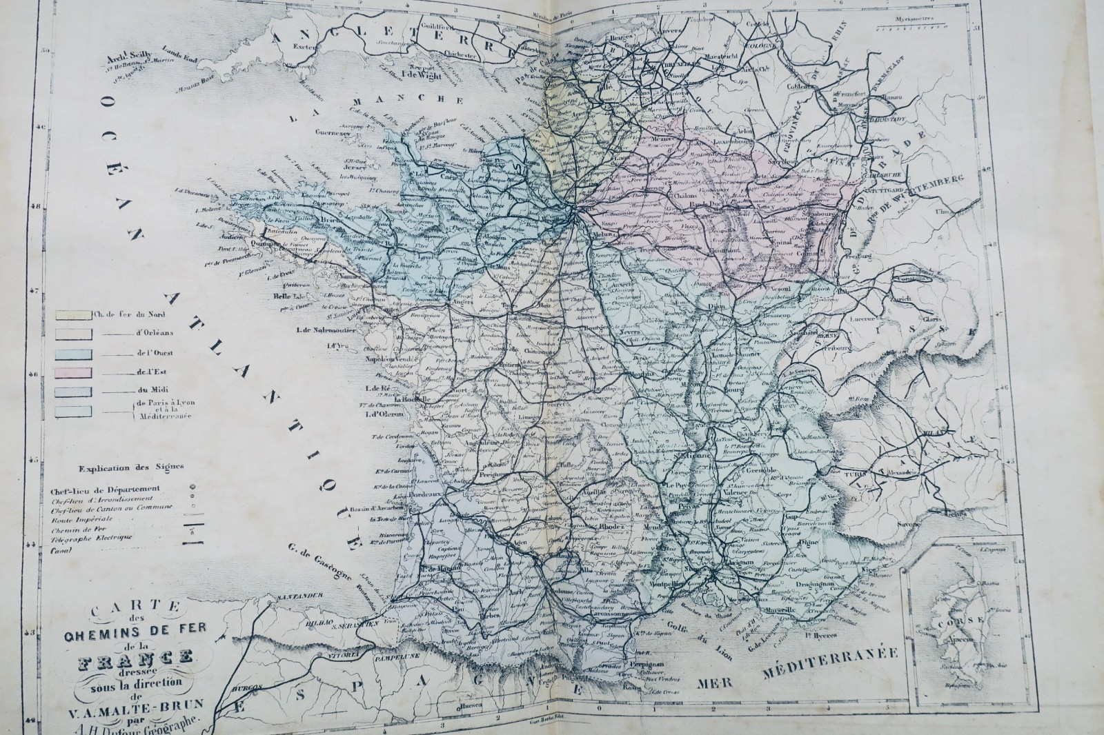
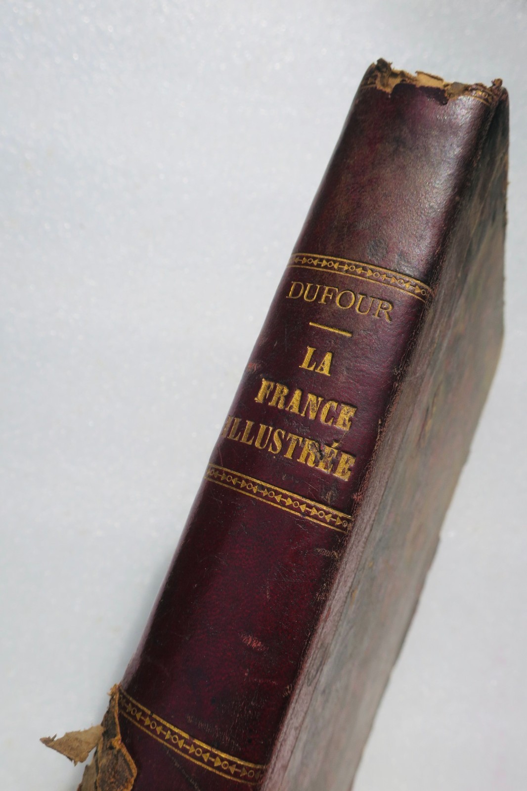
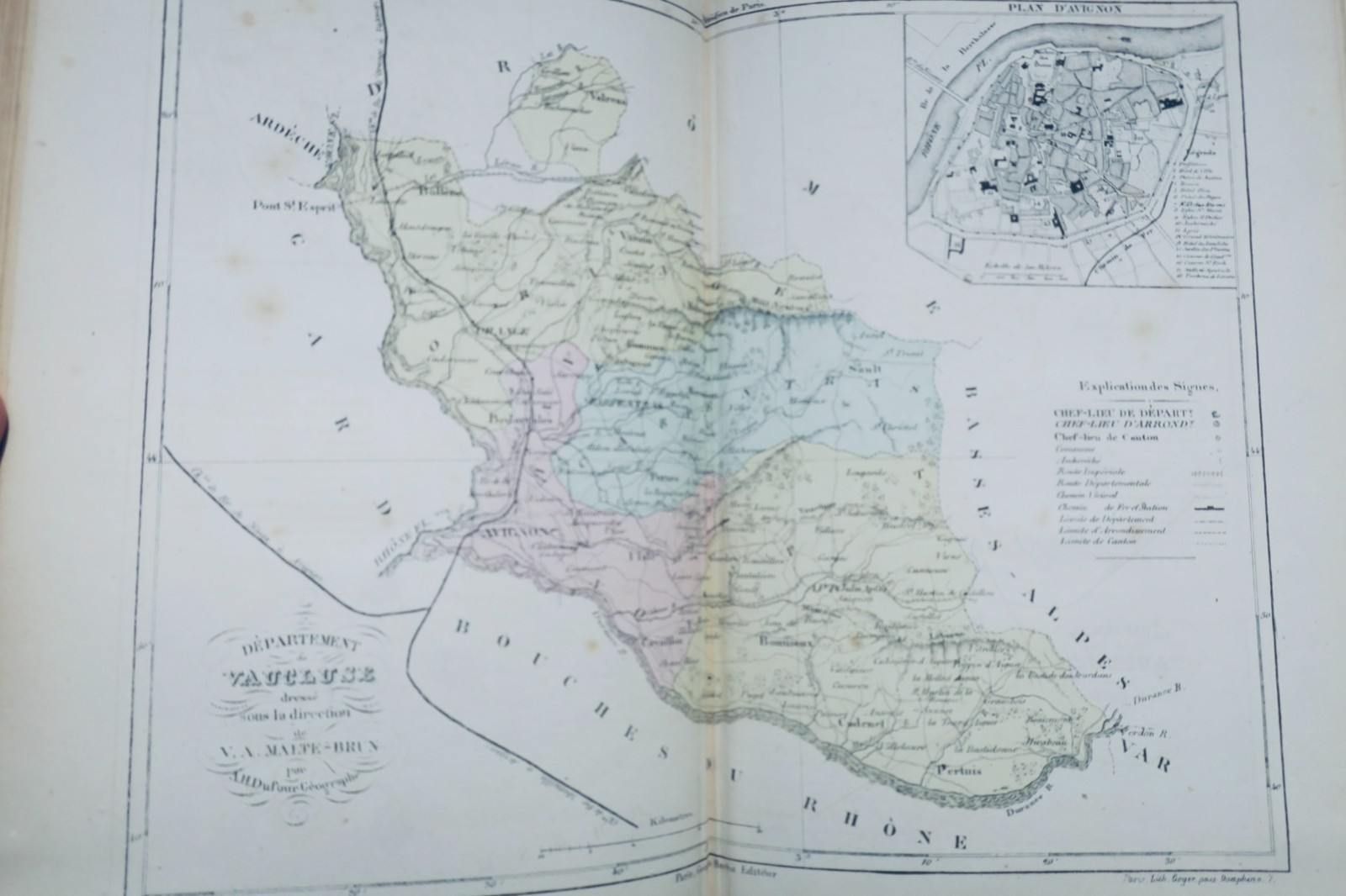
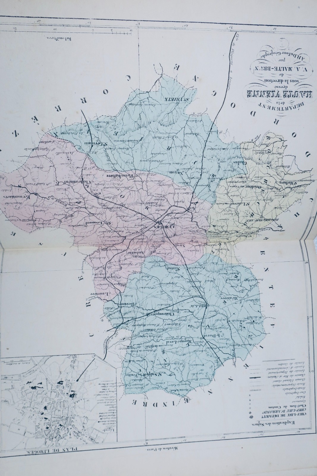
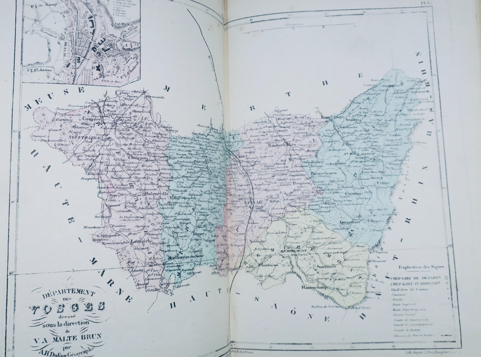
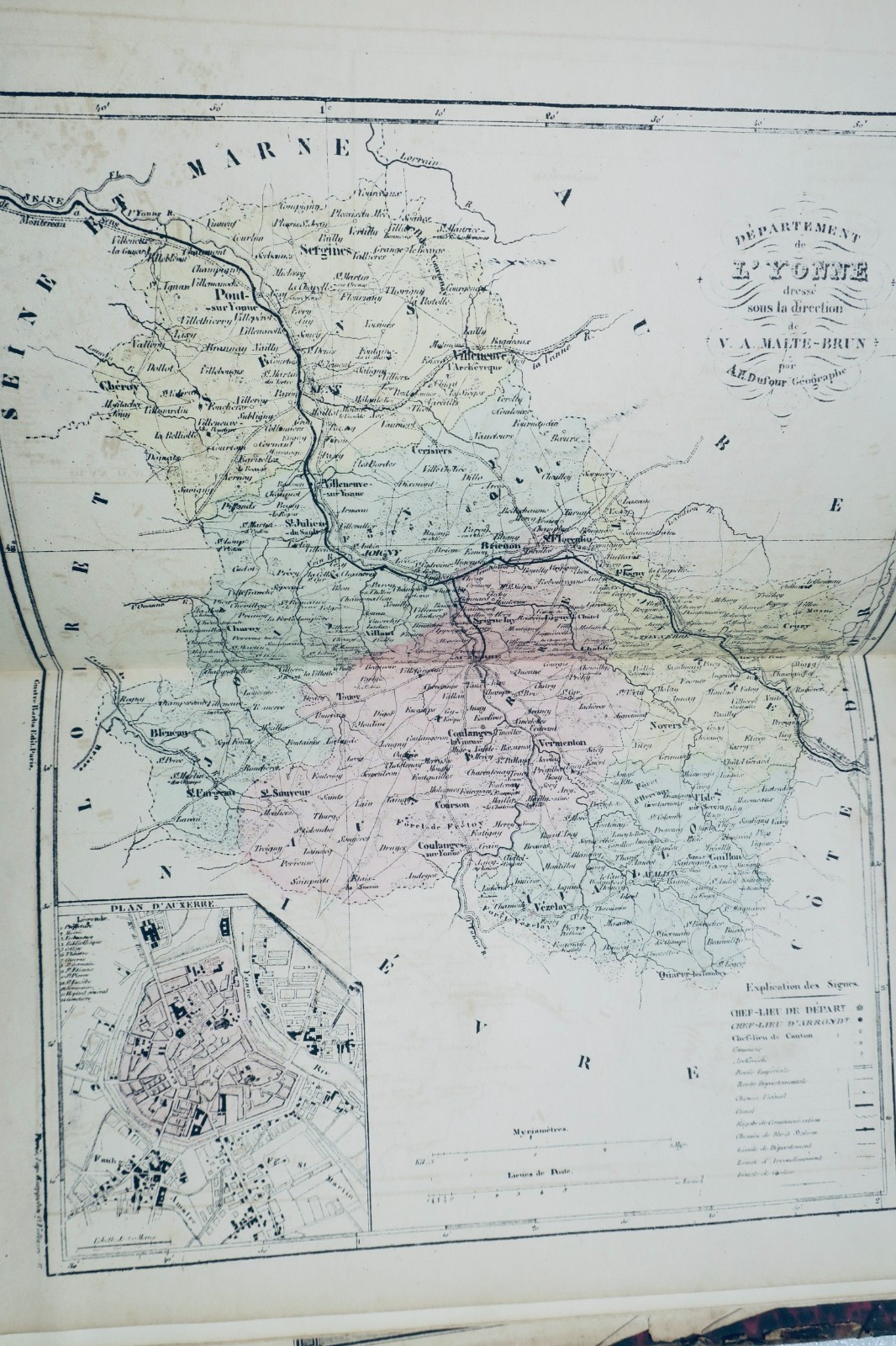
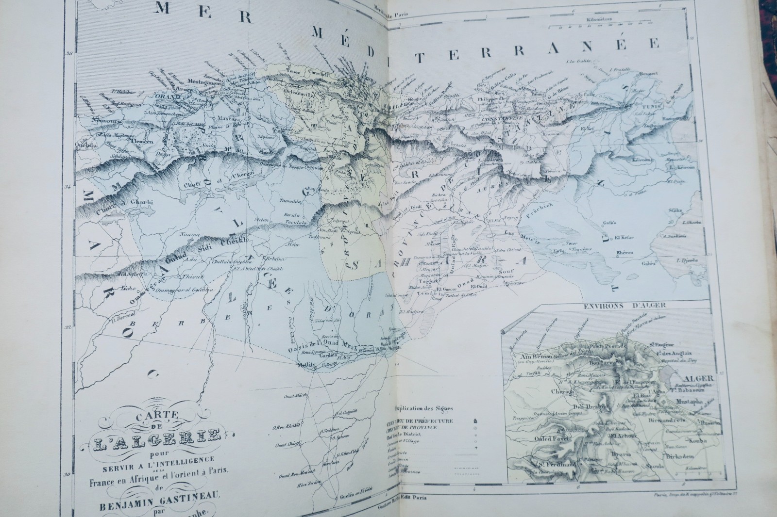
DUFOUR AH TRAINED BY MALTE-BRUN France Illustrated. 包含所有行政区和首都平面图的地图集。BARBA Gustave 出版,巴黎,约1850年。尺寸:20 x 28厘米。半皮装订,有损坏(背面缺失,边缘磨损)。102幅着色图版保存良好。页边有少量裁剪痕迹但无缺失。巴黎折叠图存在多处撕裂和少量缺口。缺失法国全景总图。除注明的缺陷外,整体保存状态良好。
此书已售出。您或许也会喜欢以下书籍:
DUFOUR AH TRAINED BY MALTE-BRUN France Illustrated. 包含所有行政区和首都平面图的地图集。BARBA Gustave 出版,巴黎,约1850年。尺寸:20 x 28厘米。半皮装订,有损坏(背面缺失,边缘磨损)。102幅着色图版保存良好。页边有少量裁剪痕迹但无缺失。巴黎折叠图存在多处撕裂和少量缺口。缺失法国全景总图。除注明的缺陷外,整体保存状态良好。
DUFOUR Atlas The Illustrated France 92 Maps Circa 1850 Antique Book
The description of this item has been automatically translated. If you have any questions, please feel free to contact us.
DUFOUR AH TRAINED BY MALTE-BRUN
France Illustrated. Atlas containing all the departments and plans of the capitals
BARBA Gustave, Paris, 20 x 28 cm., damaged half-leather binding (missing on the back, rubbed edges), 102 color maps (well preserved), a few rare cuts in the margins but without missing. A folding map of Paris (numerous tears with some small gaps), missing the double general map of France.
Well preserved apart from the defects reported
DUFOUR AH TRAINED BY MALTE-BRUN France Illustrated. Atlas containing all the departments and plans of the capitals BARBA Gustave, Paris, 20 x 28 cm., damaged half-leather binding (missing on the back, rubbed edges), 102 color maps (well preserved), a few rare cuts in the margins but without missing. A folding map of Paris (numerous tears with some small gaps), missing the double general map of France. Well preserved apart from the defects reported
有类似版本到货时通知我
本店每天都有新的古籍上架。留下您的电子邮箱:一旦有符合条件的书籍上架,我们会立即通知您,每天最多一封。
LA LIBRAIRIE ANTIQUE
独立书店,自1993年起,巴黎
全球配送
请告诉我们遇到的问题,当前页面信息会自动附上。