0
0€
Votre panier est vide
Vous n'avez aucun article dans votre panier


Catégorie / rayon : Voyages et régions
VENDU
Authenticité garantie
Chaque ouvrage est examiné et décrit individuellement par nos soins. Libraire professionnel depuis 1993.
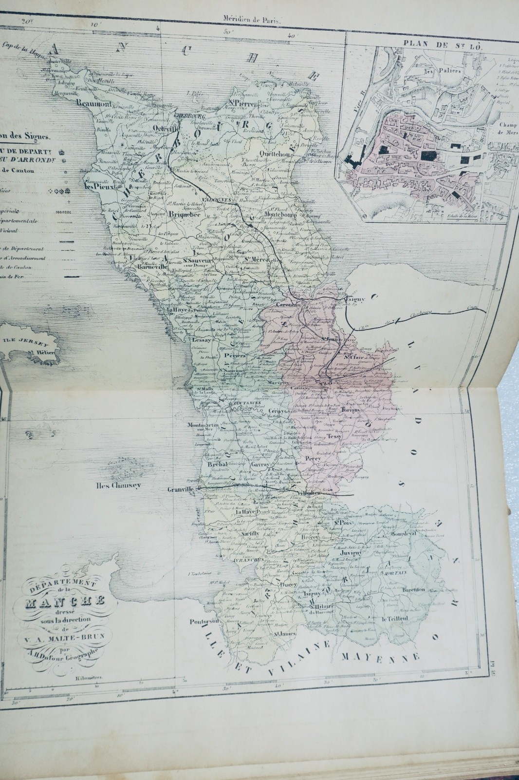
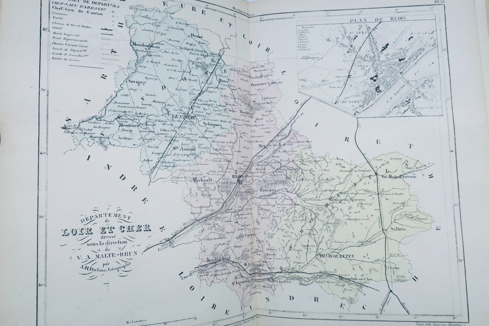
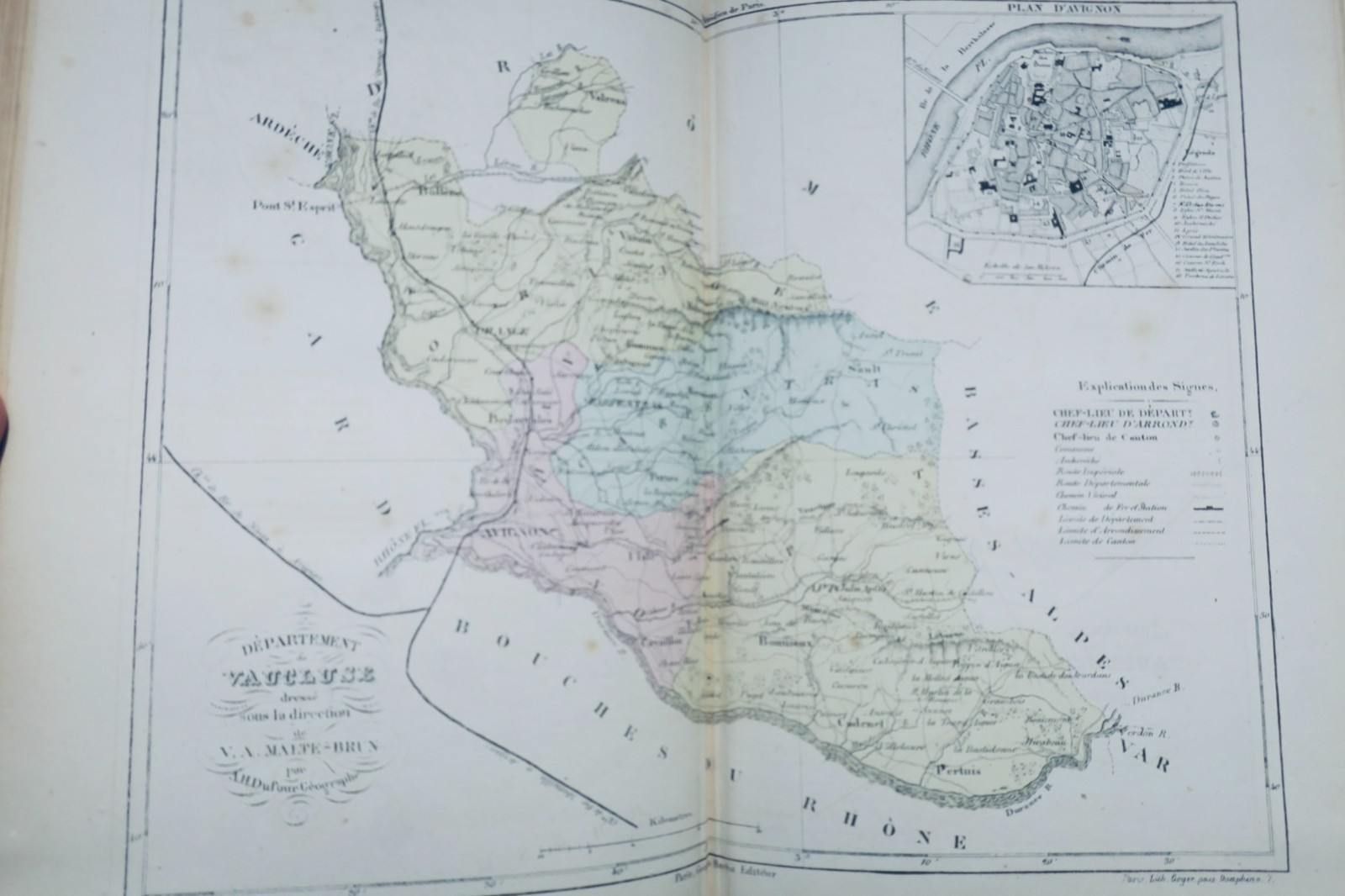
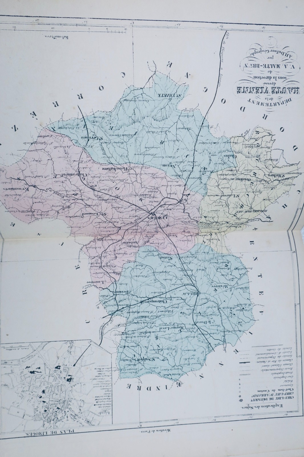
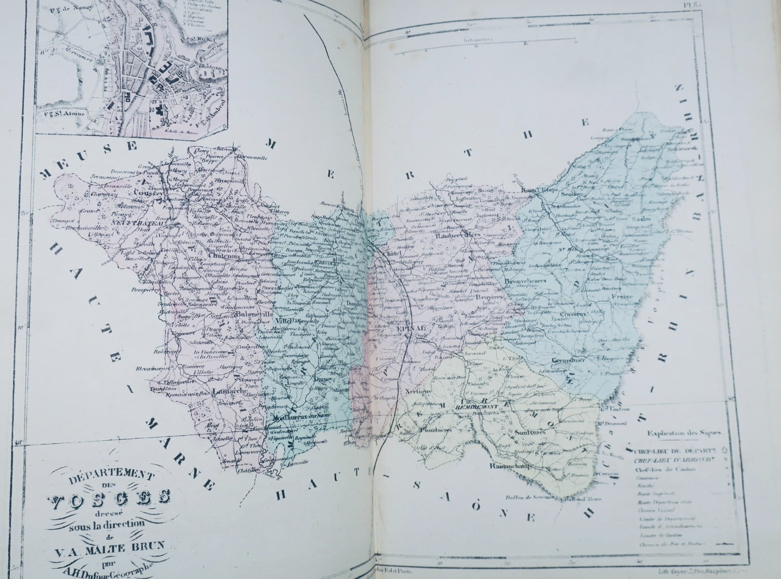
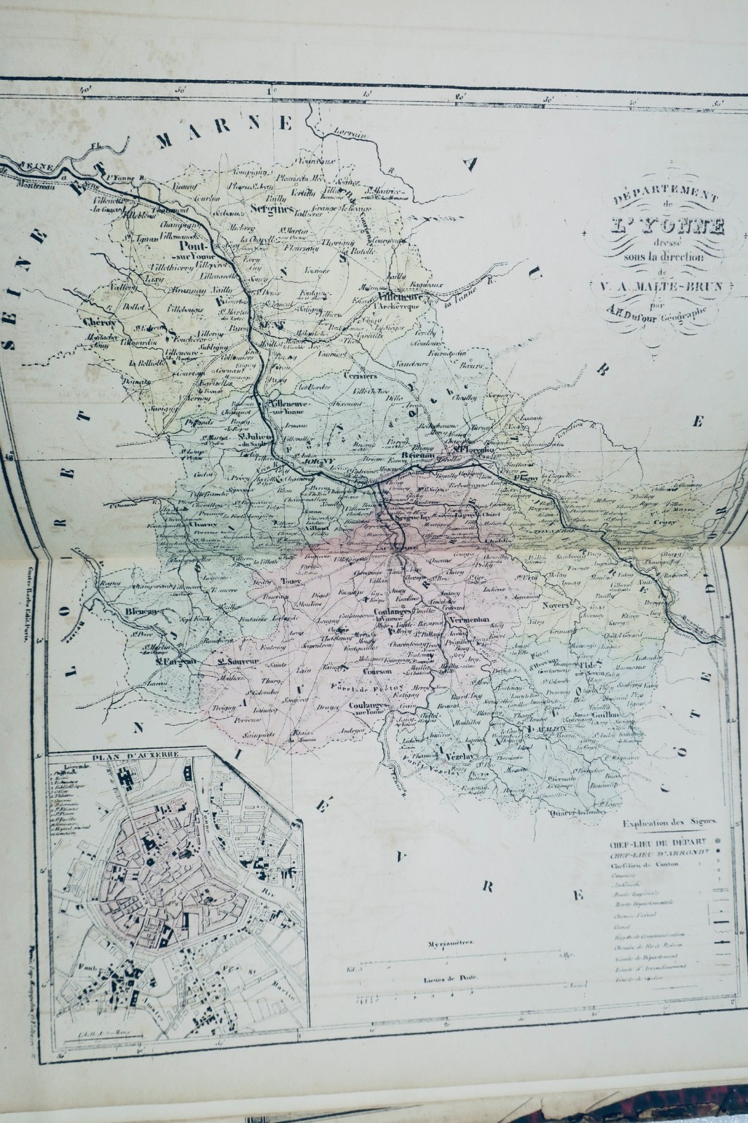
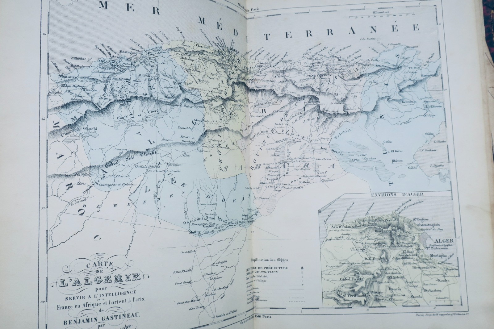
DUFOUR Atlas The Illustrated France 92 Maps Circa 1850 Antique Book The description of this item has been automatically translated. If you have any questions, please feel free to contact us. DUFOUR AH TRAINED BY MALTE-BRUN France Illustrated. Atlas containing all the departments and plans of the capitals BARBA Gustave, Paris, 20 x 28 cm., damaged half-leather binding (missing on…
Lire la description complète ↓Cet exemplaire est vendu. Ces ouvrages pourraient vous plaire :
DUFOUR Atlas The Illustrated France 92 Maps Circa 1850 Antique Book
The description of this item has been automatically translated. If you have any questions, please feel free to contact us.
DUFOUR AH TRAINED BY MALTE-BRUN
France Illustrated. Atlas containing all the departments and plans of the capitals
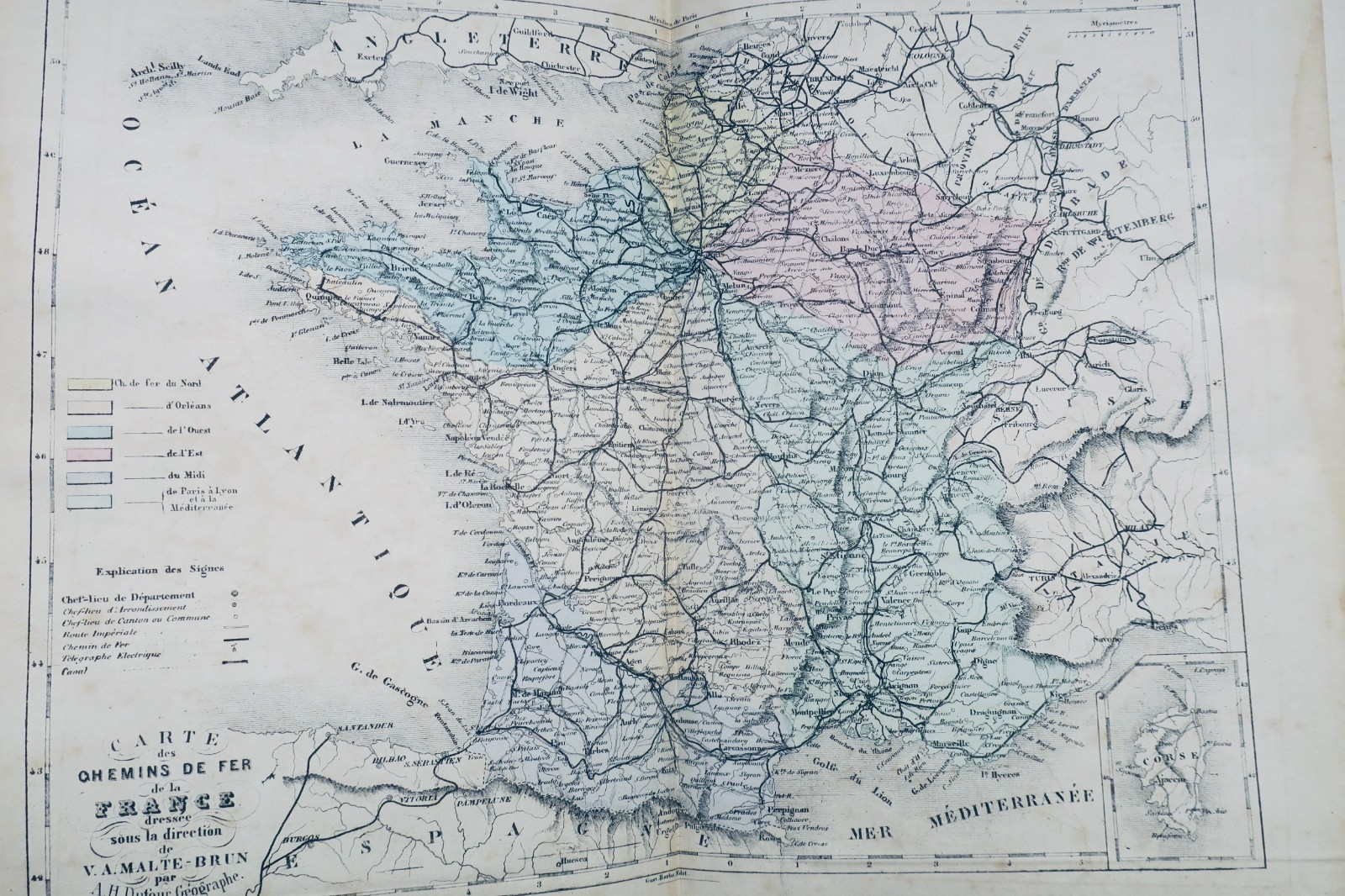
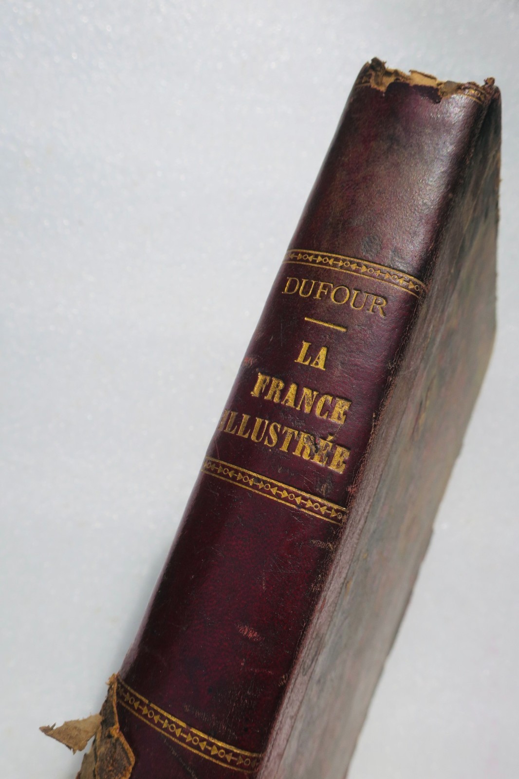
BARBA Gustave, Paris, 20 x 28 cm., damaged half-leather binding (missing on the back, rubbed edges), 102 color maps (well preserved), a few rare cuts in the margins but without missing. A folding map of Paris (numerous tears with some small gaps), missing the double general map of France.
Well preserved apart from the defects reported
DUFOUR AH TRAINED BY MALTE-BRUN France Illustrated. Atlas containing all the departments and plans of the capitals BARBA Gustave, Paris, 20 x 28 cm., damaged half-leather binding (missing on the back, rubbed edges), 102 color maps (well preserved), a few rare cuts in the margins but without missing. A folding map of Paris (numerous tears with some small gaps), missing the double general map of France. Well preserved apart from the defects reported
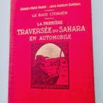
 citroën Haardt & Audouin-Dubreuil Le Raid Citroën première traversée du Sahara33€ Voir la fiche ›
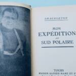
 Schackleton Mon expédition au Sud Polaire190€ Voir la fiche ›
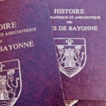
 bayonne HISTOIRE TOPOGRAPHIQUE ET ANECDOTIQUE DES RUES DE BAYONNE190€ Voir la fiche ›
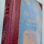
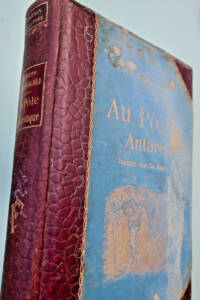 pôle sud NORDENSKJÖLD Au Pôle antarctique50€ Voir la fiche ›
Prévenez-moi si un exemplaire semblable arrive
Le fonds reçoit chaque jour de nouveaux ouvrages. Laissez votre adresse : vous recevrez un message dès qu’un ouvrage correspondant entre en boutique, jamais plus d’un par jour.
LA LIBRAIRIE ANTIQUE
Librairie indépendante depuis 1993, Paris
Expédition mondiale
Dites-nous ce qui ne fonctionne pas, nous corrigeons vite. La page où vous vous trouvez est jointe automatiquement.