0
0€
カートは空です
カートに商品はありません


棚 : 旅行・地方誌
売り切れ
真正性保証
すべての書籍を当店が一点ずつ検分し記載しています。1993年創業の専門古書店です。
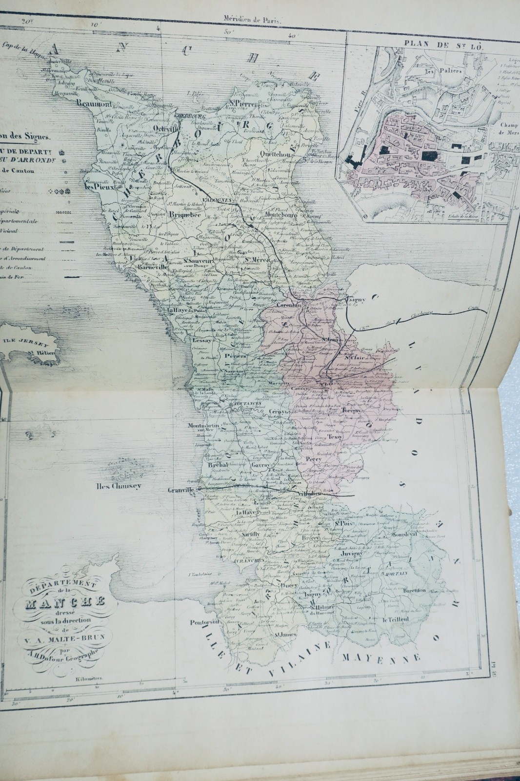
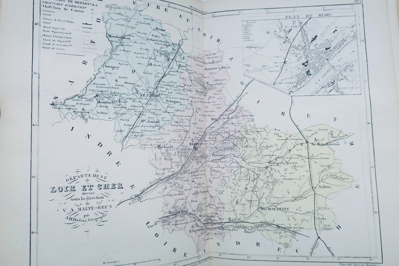
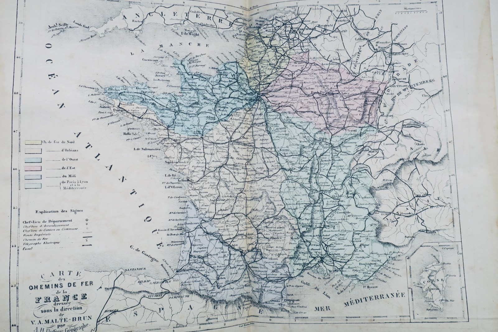
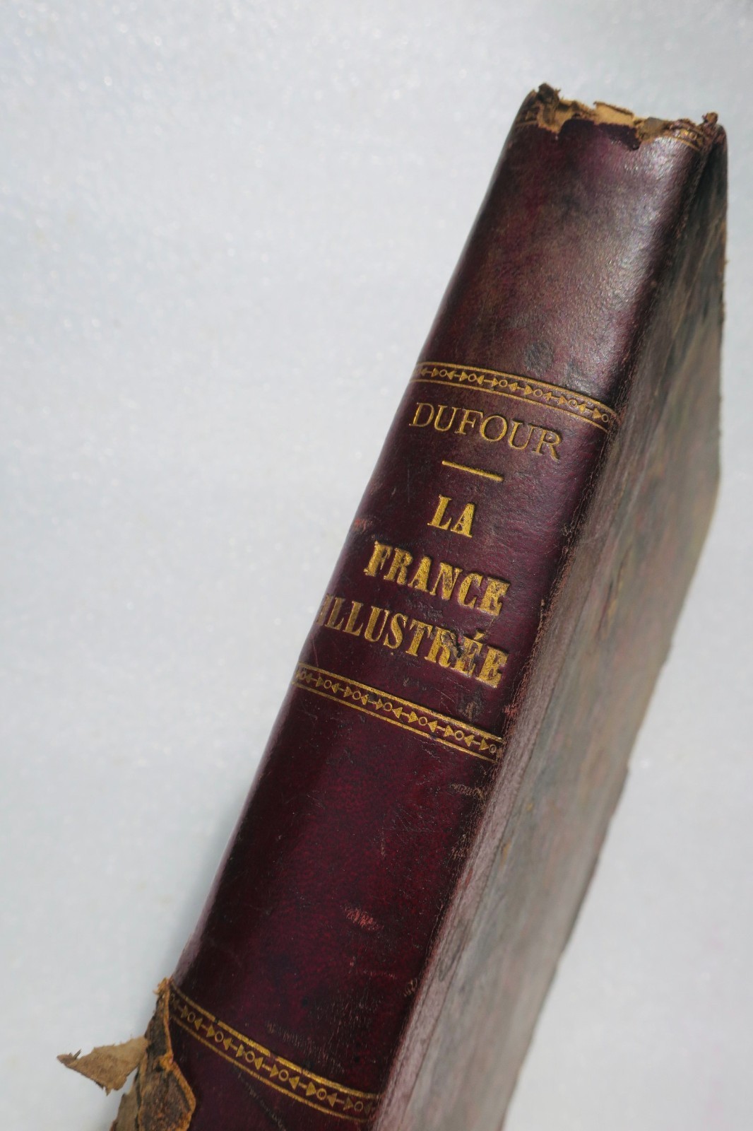
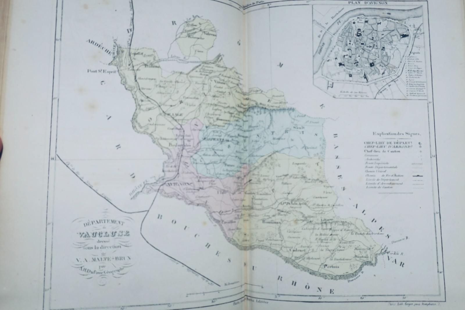
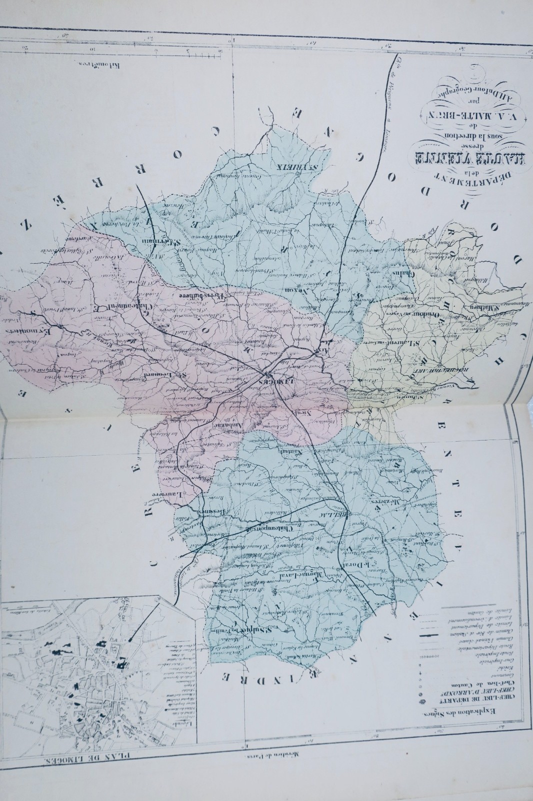
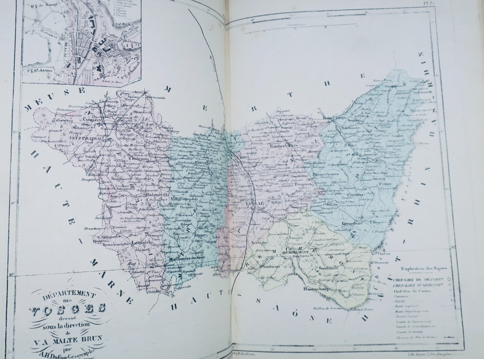
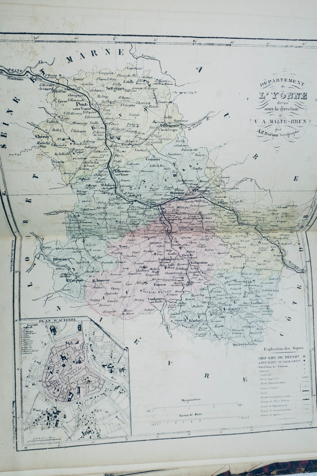
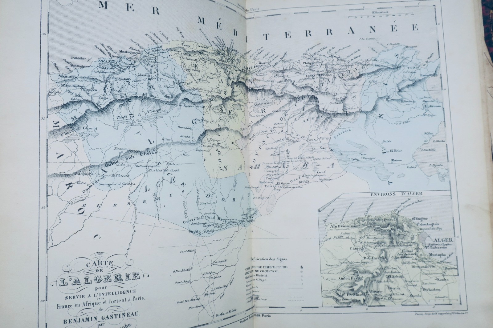
DUFOUR AH TRAINED BY MALTE-BRUN France Illustrated. すべての県と首都計画を含む地図帳。BARBA Gustave刊、パリ、1850年頃刊行。サイズ:20 x 28 cm。半革装、損傷あり(背部欠損、縁部磨耗)。102枚の着色図版は保存状態良好。余白に若干の裁断跡があるが欠損なし。パリ折畳図は多数の破れと若干の欠落あり。フランス全図が欠損。報告された欠陥はあるが全体的に保存状態は良好。
この一冊は売り切れました。こちらの本もおすすめです:
DUFOUR AH TRAINED BY MALTE-BRUN France Illustrated. すべての県と首都計画を含む地図帳。BARBA Gustave刊、パリ、1850年頃刊行。サイズ:20 x 28 cm。半革装、損傷あり(背部欠損、縁部磨耗)。102枚の着色図版は保存状態良好。余白に若干の裁断跡があるが欠損なし。パリ折畳図は多数の破れと若干の欠落あり。フランス全図が欠損。報告された欠陥はあるが全体的に保存状態は良好。
DUFOUR Atlas The Illustrated France 92 Maps Circa 1850 Antique Book
The description of this item has been automatically translated. If you have any questions, please feel free to contact us.
DUFOUR AH TRAINED BY MALTE-BRUN
France Illustrated. Atlas containing all the departments and plans of the capitals
BARBA Gustave, Paris, 20 x 28 cm., damaged half-leather binding (missing on the back, rubbed edges), 102 color maps (well preserved), a few rare cuts in the margins but without missing. A folding map of Paris (numerous tears with some small gaps), missing the double general map of France.
Well preserved apart from the defects reported
DUFOUR AH TRAINED BY MALTE-BRUN France Illustrated. Atlas containing all the departments and plans of the capitals BARBA Gustave, Paris, 20 x 28 cm., damaged half-leather binding (missing on the back, rubbed edges), 102 color maps (well preserved), a few rare cuts in the margins but without missing. A folding map of Paris (numerous tears with some small gaps), missing the double general map of France. Well preserved apart from the defects reported
同様の本が入荷したらお知らせします
当店には毎日新しい古書が入荷します。メールアドレスをご登録いただくと、該当する本が入荷した際にお知らせします(1日1通まで)。
LA LIBRAIRIE ANTIQUE
1993年創業の独立系古書店、パリ
世界配送
不具合の内容をお知らせください。現在のページ情報は自動的に添付されます。