0
0€
Your cart is empty
You have no items in your cart


Category / section : Exceptional books
SOLD
Guaranteed authentic
Every book is examined and described individually by us. Professional booksellers since 1993.
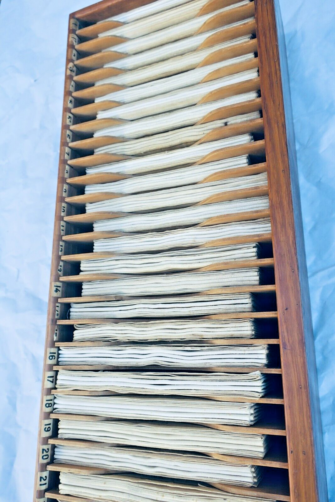
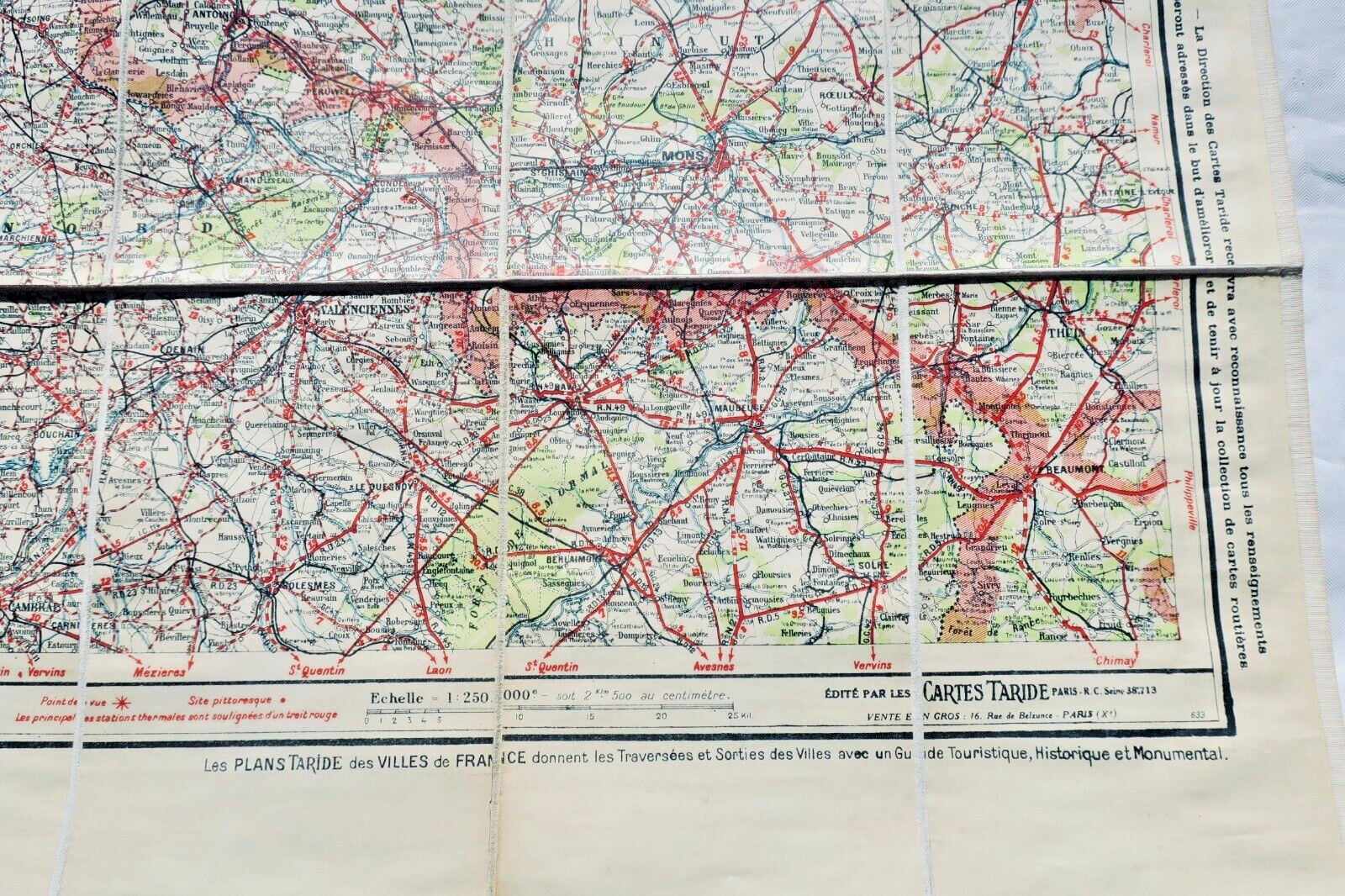
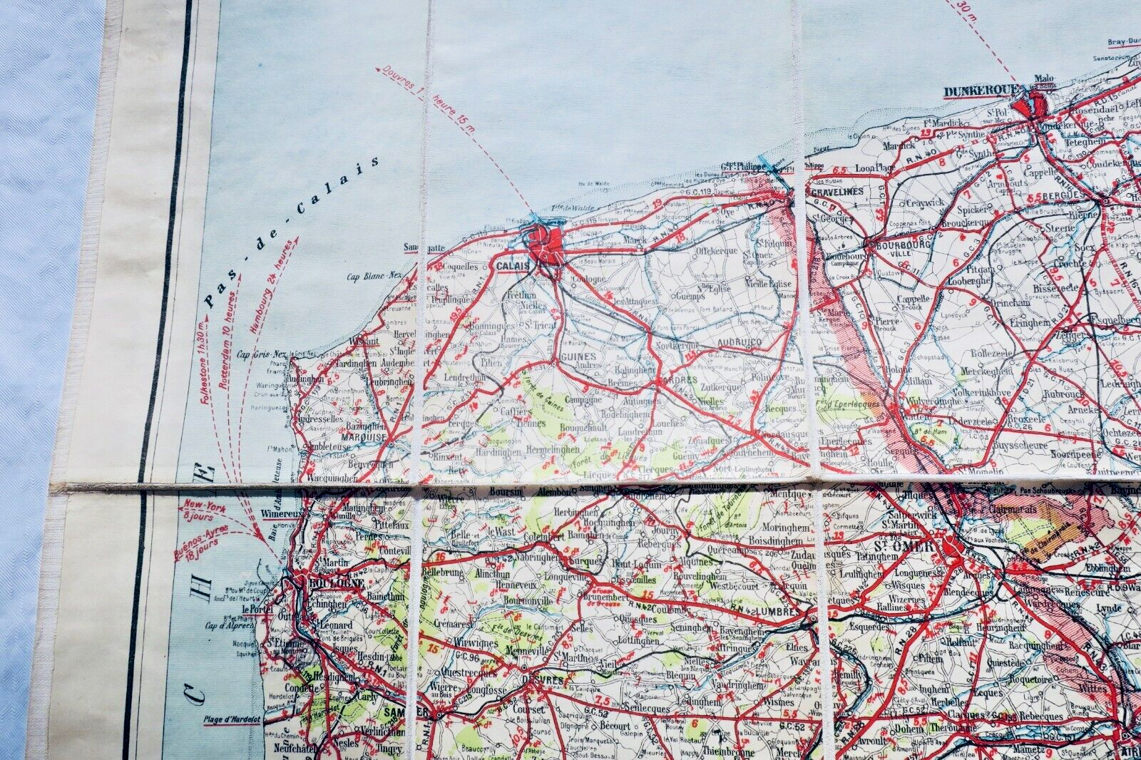
Complete set of 33 Taride geographical maps housed in original wooden display cabinet with 33 numbered compartments (75 x 14 x 25 cm). Each canvas map measures approximately 85 x 100 cm at scale 1:250,000, covering French regions and surrounding territories. Collection includes detailed maps of Northern France, Belgium, Brittany, Normandy, Paris vicinity, Burgundy, Provence, Languedoc, and Pyrenees, plus specialized…
Read full description ↓This copy has been sold. Books you may also like:
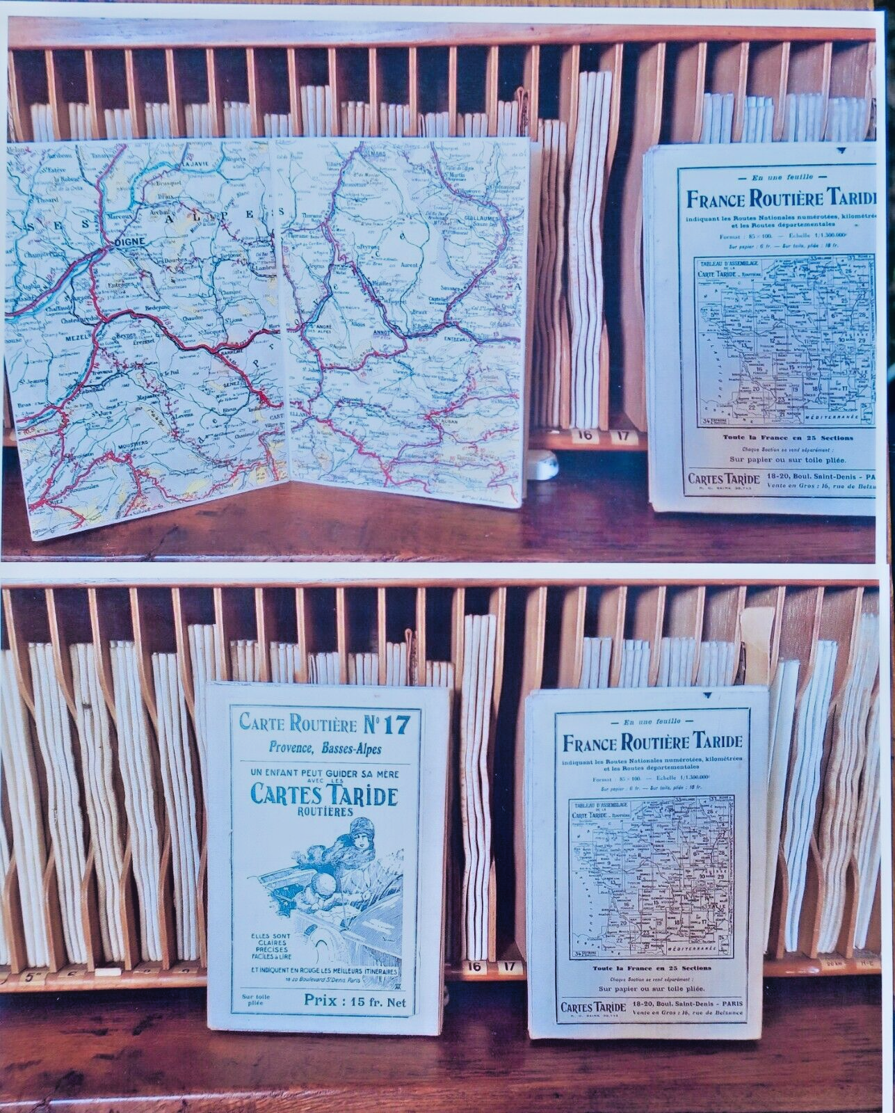
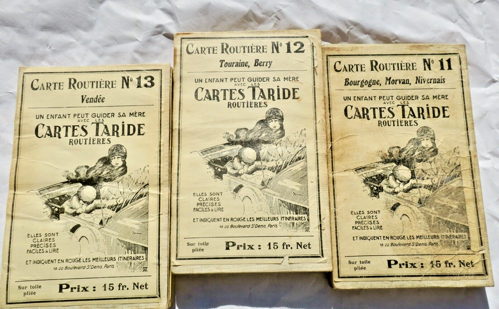
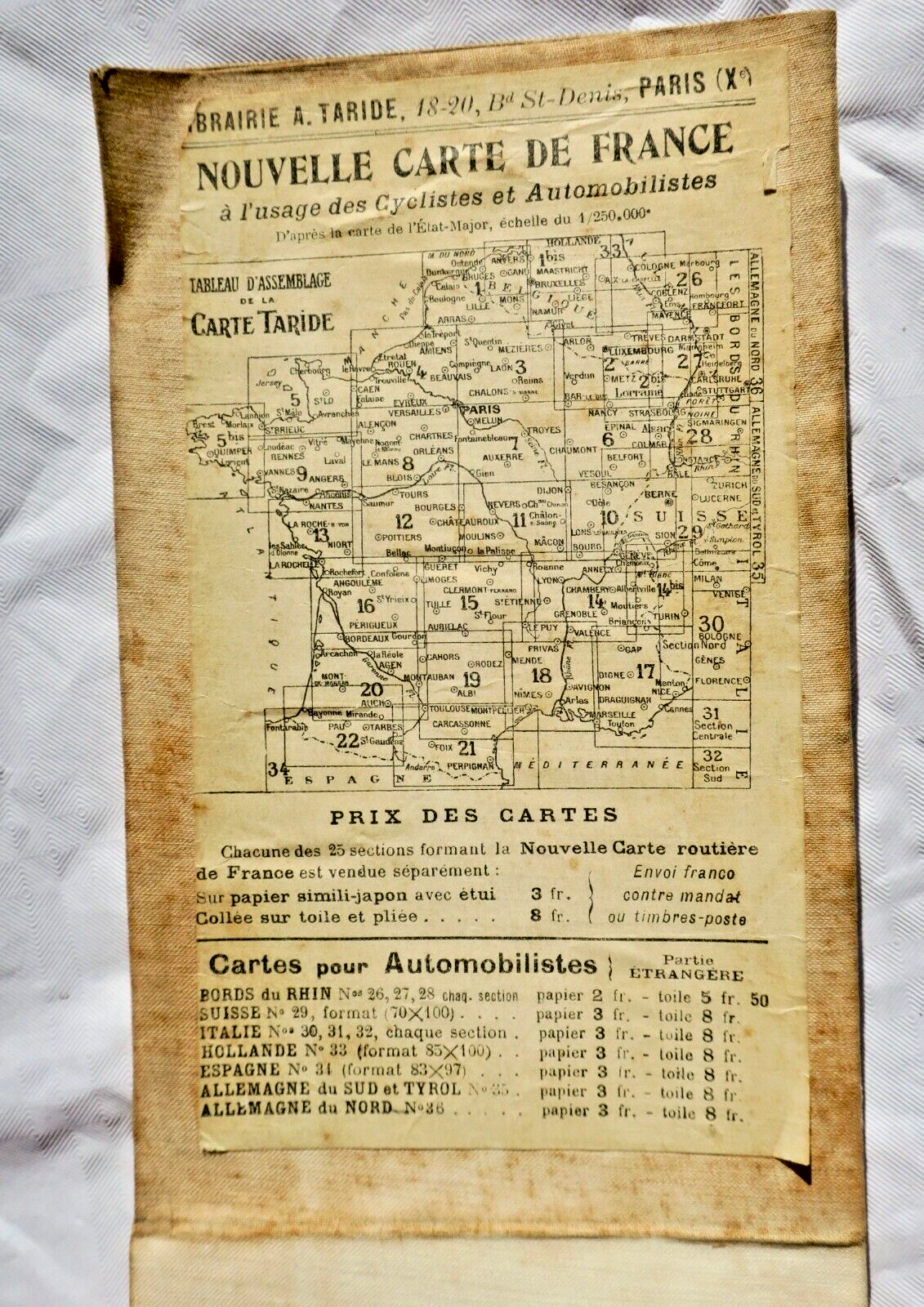
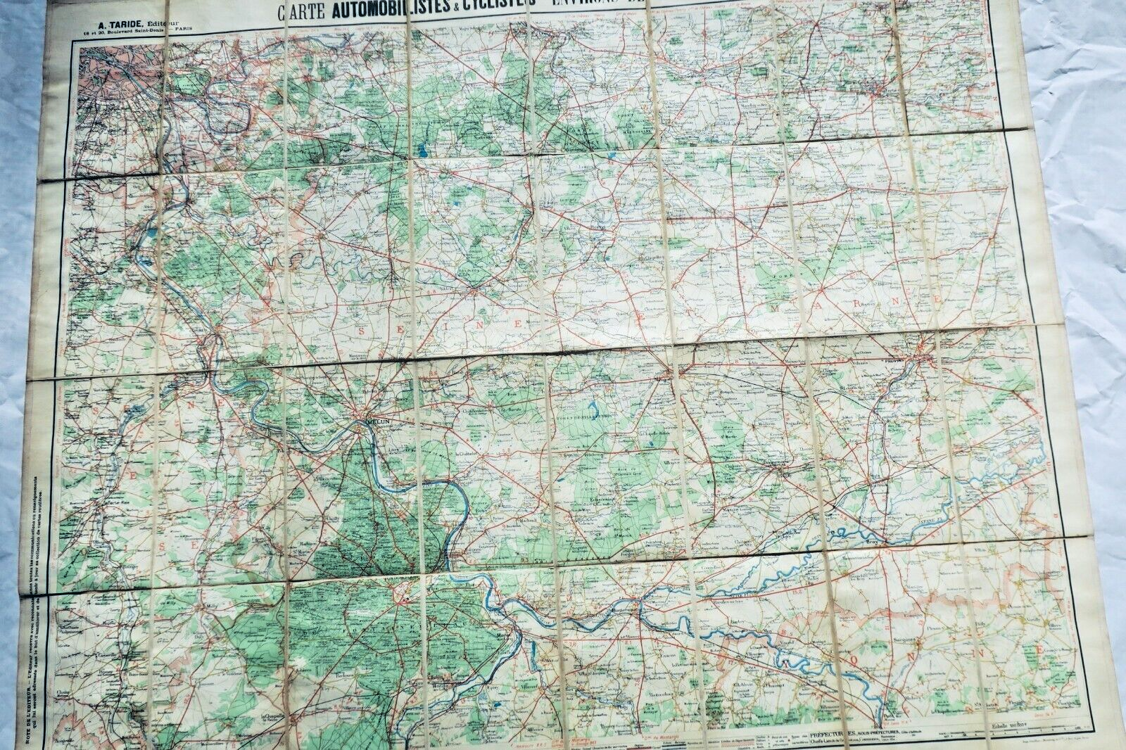
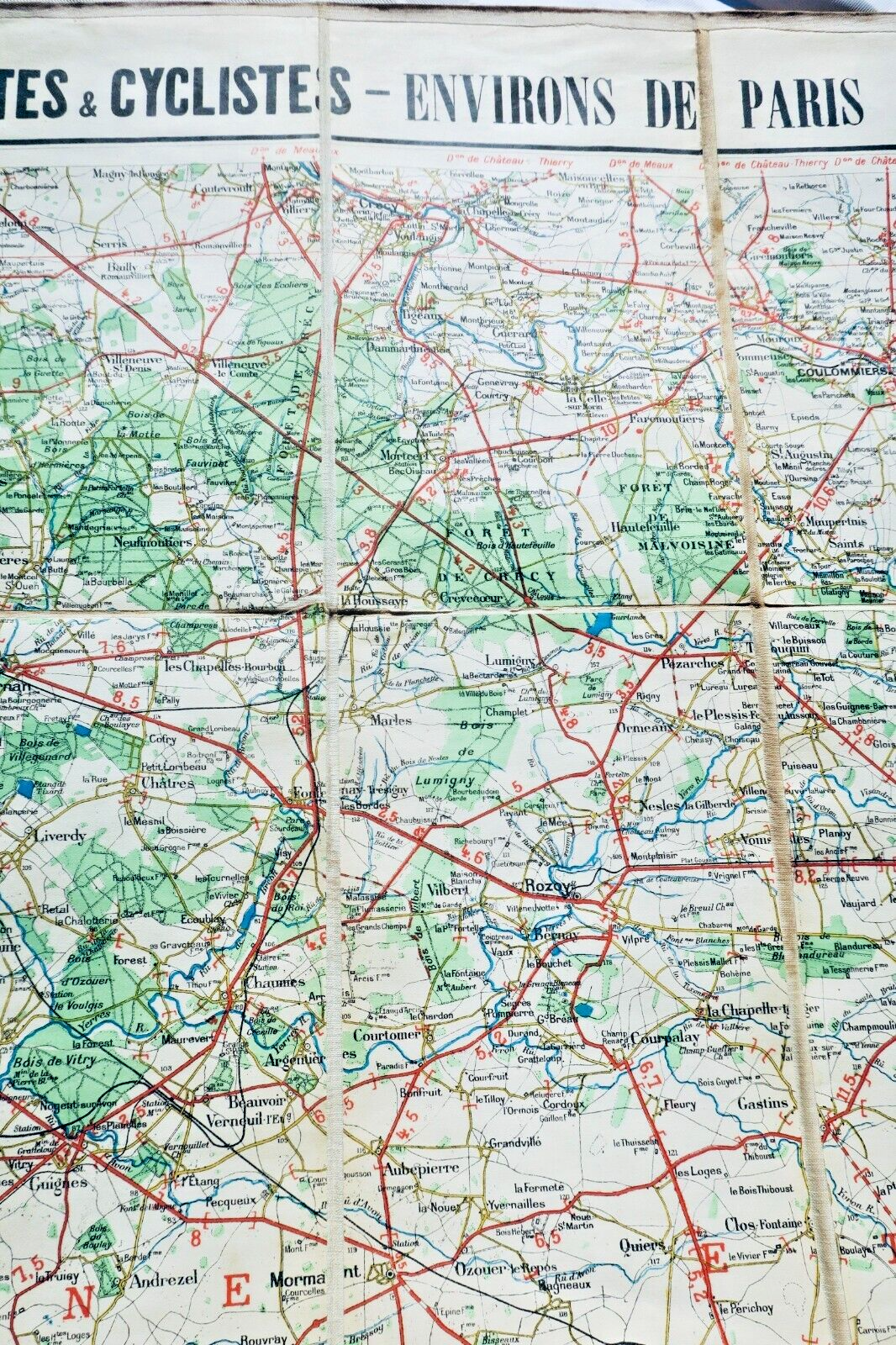
Complete set of 33 Taride geographical maps housed in original wooden display cabinet with 33 numbered compartments (75 x 14 x 25 cm). Each canvas map measures approximately 85 x 100 cm at scale 1:250,000, covering French regions and surrounding territories. Collection includes detailed maps of Northern France, Belgium, Brittany, Normandy, Paris vicinity, Burgundy, Provence, Languedoc, and Pyrenees, plus specialized motor and cyclist route maps around Paris. Well preserved condition, undated circa 1920. Canvas and paper compositions. Each section represents approximately 30,000 square kilometers.
In its wooden cabinet with 33 numbered compartments, 33 Taride cards, 75 x 14 x 25 cm., each of these cards measuring approximately 85 x 100 cm. (well preserved), scale 250,000, each section gives 30,000 square km, undated around 1920.
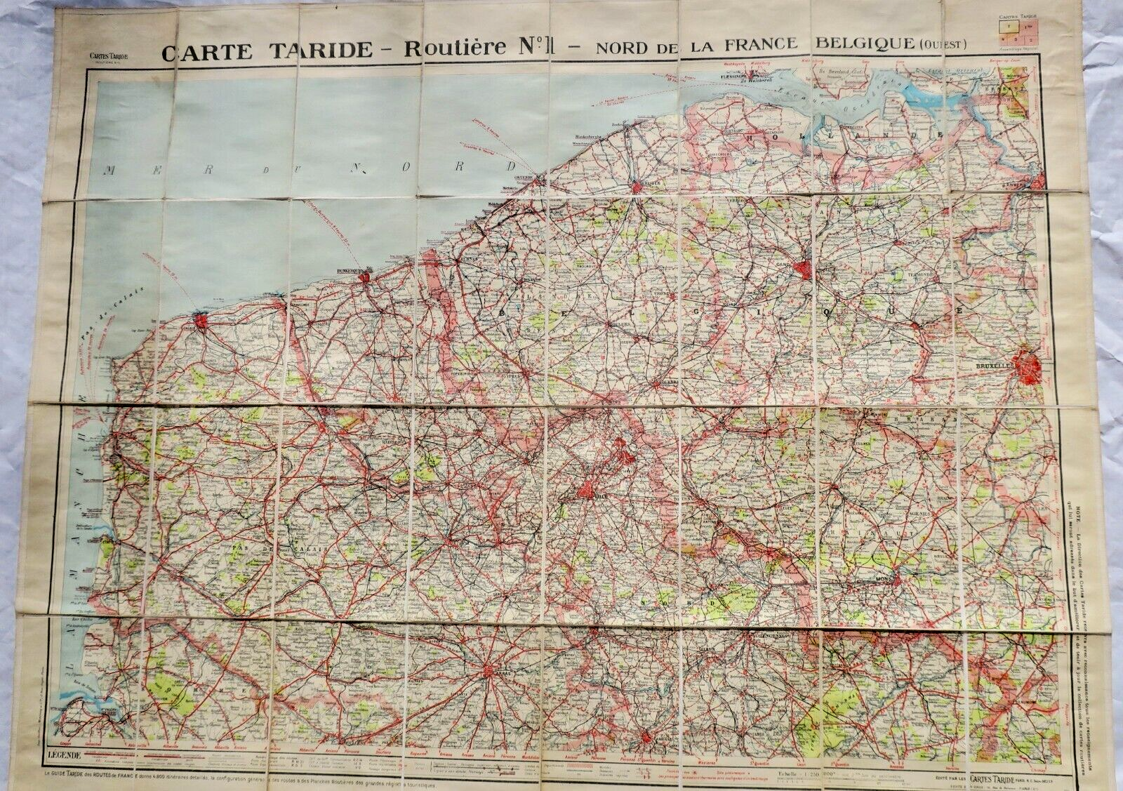
No. 1-Northern France, Belgium (west), canvas map
N°1 bis-Belgium (East), canvas map
N°2- Lorraine, Luxembourg, canvas card
N°3- Paris, Champagne (north)-Ardennes, canvas card
N°4- Paris-Normandy (north), canvas card
N°5- Normandy (west), Brittany (north), canvas card
No. 5 bis- Brittany (west), canvas card
No. 6-Lorraine, Vosges, canvas card
N°7- Paris, Brie-Champagne (south), canvas card
N°8- Paris-Orleans, canvas card
No. 9-Brittany (south), canvas card
No. 10-Franche-Comté, Switzerland (west), canvas card
No. 11-Bourgogne-Morvan-Nivernais, canvas card
No. 12-Touraine-Berry, canvas card
No. 13-Vendée, canvas card
No. 14-Lyonnais, Savoie, Canvas map
No. 14 bis- Dauphiné, canvas card
No. 15-Auvergne-Limousin, canvas card
No. 16-Bordelais-Angoumois, canvas card
No. 17-Provence-Basses-Alpes, ccanvas art
No. 18-Languedoc (east), ccanvas art
No. 19-Languedoc (west), ccanvas art
No. 20-Garonne (Landes), ccanvas art
No. 21-Pyrenees (east), ccanvas art
No. 22-Pyrenees (west), ccanvas art
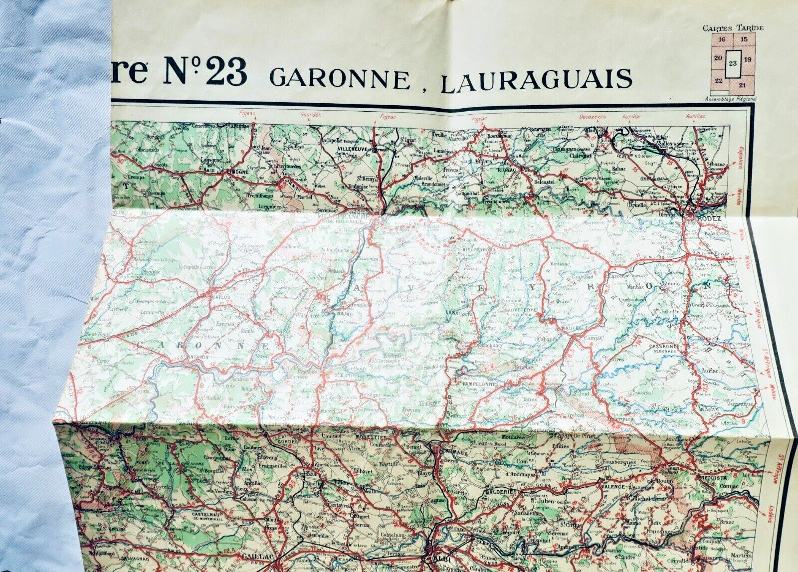
N°23-Garonne, Lauraguais, paper, in its (damaged) paper sleeve
-Paris, Surroundings of Paris, 20 km., 50000e, ccanvas art
-Paris, 80 km South-East, 100000°, ccanvas art
-Paris, 80 km South-East (motor & cyclist maps), 100000°, ccanvas art
-Paris, 80 km South-West, 100000°, ccanvas art
-Paris, 80 km North-West, 100000°, ccanvas art
-Paris, 80 kms, North-East, 100000°, ccanvas art
We also attach the road map for cyclists & motorists - Northern France & Belgium
In its wooden cabinet with 33 numbered compartments, 33 Taride cards, 75 x 14 x 25 cm., each of these cards measuring approximately 85 x 100 cm. (well preserved), scale 250,000, each section gives 30,000 square km, undated around 1920. No. 1-Northern France, Belgium (west), canvas map N°3- Paris, Champagne (north)-Ardennes, canvas card N°5- Normandy (west), Brittany (north), canvas card N°7- Paris, Brie-Champagne (south), canvas card No. 10-Franche-Comté, Switzerland (west), canvas card N°23-Garonne, Lauraguais, paper, in its (damaged) paper sleeve -Paris, Surroundings of Paris, 20 km., 50000e, ccanvas art -Paris, 80 km South-East (motor & cyclist maps), 100000°, ccanvas art -Paris, 80 kms, North-East, 100000°, ccanvas art We also attach the road map for cyclists & motorists - Northern F
Alert me if a similar copy arrives
New books arrive every day. Leave your email address: you will receive a message as soon as a matching book enters the shop, never more than one a day.
LA LIBRAIRIE ANTIQUE
Independent bookshop since 1993, Paris
Worldwide shipping
Tell us what is not working, we fix things quickly. The page you are on is attached automatically.