0
0€
Your cart is empty
You have no items in your cart


An antique map is judged on four criteria: its author and publisher, its printing technique, its colouring and its condition. From the Cassini sheets to school atlases of the Third Republic, via the road maps of the first cyclists, here is how to choose a map or atlas, date it and preserve it, along with a list of our available pieces.
Engraved sheets, complete atlases, road maps and linen-backed maps: the selection is updated with every new acquisition.
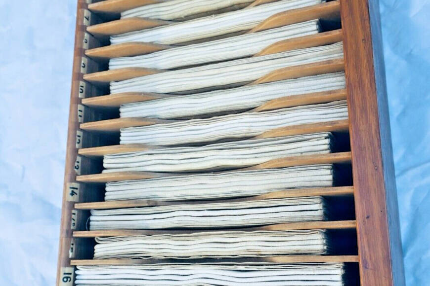
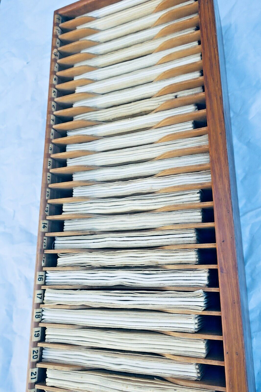
 Taride geography 33 maps in their case950€ View details ›
 Atlas FISQUET Grand atlas départemental de la France410€ View details ›
 Savoy Duchy Map by Blaeuw370€ View details ›
 Historical Atlas of France and Colonies, 1871365€ View details ›
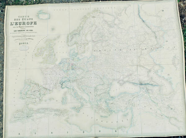 Europe carte des états de l'Europe 134 x 103 cm. 1858320€ View details ›
 MERCATOR Aquitania australis regnu arelatense cum confiniis Ca. 1610275€ View details ›
 Historical Atlas with period maps for educational use271€ View details ›
 Royal geographical atlas from 1826271€ View details ›
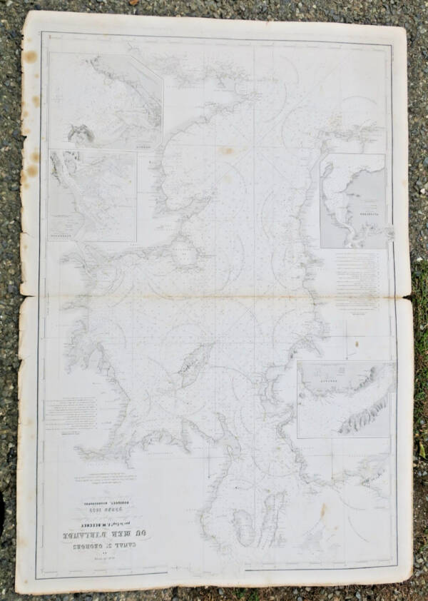 Ireland map of the Irish Sea St George's Channel 1852 107 x 73 cm250€ View details ›
 Maps and views of ancient Greece from Anacharsis voyage246€ View details ›
 Historical Atlas of Russia and Principal Nations232€ View details ›
 Cycling map of Paris surroundings 1901230€ View details ›
See all available books for “atlas” ›
Free delivery in mainland FranceSecure payment: card, PayPal, bank transfer, cheque14-day returns
The Cassini map is the first general map of the kingdom based on triangulation. Commissioned in 1747 and led by César-François Cassini de Thury and later completed by his son, it was drawn at a scale of one line to one hundred toises (approximately 1/86,400) and comprises 180 engraved copper sheets, published from 1756 onwards. Printed in black, many were hand-coloured, and some were cut out and pasted onto linen for portability.
In the 19th century, it was succeeded by the cadastral map at 1/80,000: 273 engraved copper sheets, surveyed from 1818 and completed in 1880 with the inclusion of Corsica. Relief is indicated by hachures, giving these sheets their distinctive dense appearance. They are often encountered linen-backed and folded in a slipcase.
The Brussels-based cartographer Philippe Vandermaelen published an Atlas universel of 400 sheets, all to the same scale, between 1825 and 1827— the first atlas printed using lithography. In France, departmental atlases became fashionable: Victor-Adolphe Malte-Brun’s La France illustrée appeared in 1853 with an atlas by Auguste Henri Dufour, followed by a five-volume edition published by Rouff from 1879 to 1884, with each department accompanied by its own map. The illustrated atlases by the Migeon firm and Fisquet’s grand atlas départemental fall into the same category.
School atlases form a distinct category, prized for their colour plates: Paul Vidal de La Blache’s Atlas général was published by Armand Colin in 1894, and Franz Schrader’s Atlas de géographie moderne by Hachette, whose cartographic office he directed. Finally, there are atlases that accompanied major travel works, such as the collection of maps and plans by Barbié du Bocage appended to the abbé Barthélemy’s Voyage du jeune Anacharsis en Grèce (1788).
The Parisian firm Taride, founded in the late 1840s, was among the first to publish road maps, including maps for cyclists. The Touring Club of France, established in 1890 by cycling enthusiasts, also issued maps for its members. These modest items tell the story of tourism and can often be found for a few dozen euros.
Until the 19th century, most maps were copperplate engraved and printed in intaglio: the press left a shallow depression, a slight hollow around the edge of the image. Lithography, chromolithography and then photomechanical processes took over later. Before chromolithography, colour was applied by hand, either as a simple border along the borders or in solid tints.
A period colour scheme has softened tones and sometimes shows the burn marks of verdigris, a copper-based pigment that eats into the paper. A modern colour scheme, added to make a map more marketable, often appears too vivid and too uniform. To date an undated map, look at the borders (provinces before 1790, departments thereafter, Savoie and the County of Nice as French from 1860, Alsace-Moselle German from 1871 to 1918), the railways and the publisher’s address.
Common defects include tears at the folds, a fragile central fold on atlas maps, foxing and trimmed margins. For an atlas, count the maps and compare them to the table of contents: the most decorative ones are often missing, as they were sold separately. A map lined in period style is not a defect but a sign of use and is appreciated.
Beware of later print runs. The Chalcography of the Louvre, founded in 1797, preserves old copperplates, including those of Turgot’s plan of Paris, and sells modern prints: fine images, but not original impressions. Offset facsimiles can be spotted under a magnifying glass by their dot screen.
Examine it under a magnifying glass: an engraving shows continuous ink lines, an offset reproduction a regular dot screen. A copperplate-engraved map retains a slight depression around the image, and a laid paper shows its chain lines by transparency.
It depends on the print run, the region, the colouring and the condition. An old sheet in good condition generally starts at a few hundred euros, more for a sought-after region; later prints and facsimiles are worth far less.
A complete atlas in its original binding retains its value better and reflects its period. Individual maps allow you to assemble a region or frame them; check their provenance and the presence of margins.
Flat, in a neutral paper chemise, protected from light and humidity. For framing, request reversible mounting, acid-free mat and UV-filtering glass, and refuse any gluing onto cardboard.
Yes. The bookseller offers free appraisals of your maps and atlases based on photographs, and purchases libraries and collections in Paris as well as throughout France.
Looking for a specific title?
Tell us what you are looking for: new books arrive every week and we will let you know as soon as a copy comes in.
Write to usDo you own antiquarian books?
The bookseller appraises them free of charge and may offer to buy them.
Get an appraisalAlert me about new Carte and ancient atlases arrivals
New books arrive every day. Leave your email address: you will receive a message as soon as a matching book enters the shop, never more than one a day.
All our authors ›Our themed collections ›Our sections ›Full catalogue ›
Tell us what is not working, we fix things quickly. The page you are on is attached automatically.