0
0€
Your cart is empty
You have no items in your cart




Category / section : Science, technology and law
32€
❦One copy only
As with every antiquarian book, this is the only copy we hold. Once sold, it will not be restocked.
Guaranteed authentic
Every book is examined and described individually by us. Professional booksellers since 1993.
In stock
A question about this book? Write to the bookseller ›
Technical manual on surveying, plan drawing and leveling. Published in 1880. Practical guide covering surveying methods, plan preparation, and altitude measurement techniques used in 19th-century land surveying practice.
Technical manual on surveying, plan drawing and leveling. Published in 1880. Practical guide covering surveying methods, plan preparation, and altitude measurement techniques used in 19th-century land surveying practice.
Vacquant, Charles
Arpentage, levé des plans et nivellement, par Ch. Briot
L. Hachette (Paris), 1880. In-12, broché, 240 pp. & 4 plancles dépliantes. Nombreux graphiques et 10 grandes planches dépliantes en fin d'ouvrage.
 anatomy BLANDIN New elements of descriptive anatomy 1838110€ View details ›
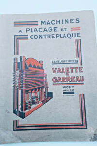 Catalogue Machines à plaquer et contreplaqué Valette & Garreau Vichy40€ View details ›
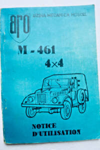 4x4 mechanical plant Muscel M-461 4x4 user manual45€ View details ›
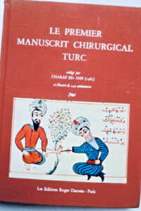 chirurgie ED-IN CHARAF the first Turkish surgical manuscript55€ View details ›
 Un Jardin pour la Peau DERMATOLOGIE55€ View details ›
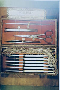 medicine Velter instruments Tools of the body55€ View details ›
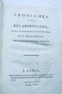 arpenteur MASCHERONI Problems for surveyors with various 1803140€ View details ›
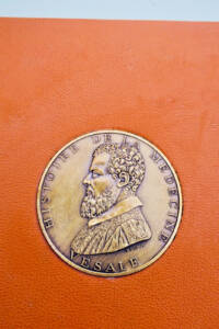 History of medicine, pharmacy, dentistry and290€ View details ›
Alert me about new arrivals in Science, technology and law
New books arrive every day. Leave your email address: you will receive a message as soon as a matching book enters the shop, never more than one a day.
LA LIBRAIRIE ANTIQUE
Independent bookshop since 1993, Paris
Worldwide shipping
Tell us what is not working, we fix things quickly. The page you are on is attached automatically.