0
0€
Your cart is empty
You have no items in your cart




Category / section : Travel and regionsExceptional books
210€
❦One copy only
As with every antiquarian book, this is the only copy we hold. Once sold, it will not be restocked.
Guaranteed authentic
Every book is examined and described individually by us. Professional booksellers since 1993.
In stock
A question about this book? Write to the bookseller ›
Atlas
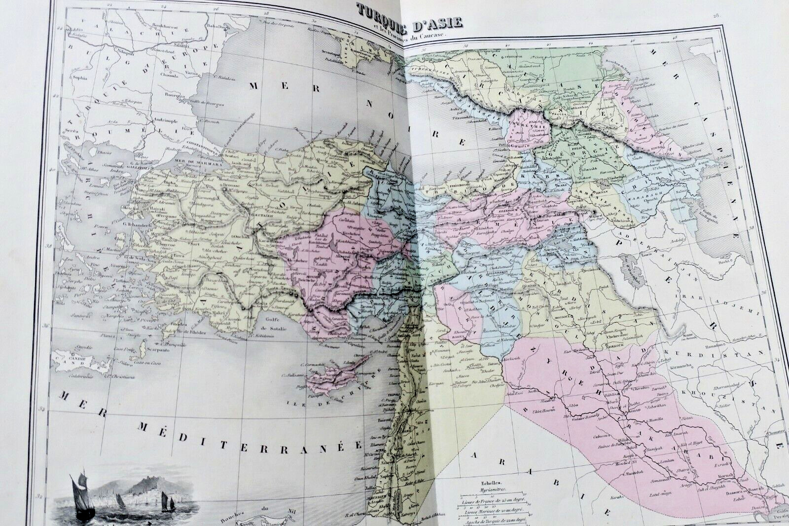
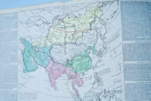
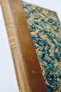
Manque la page de titre, chez Migeon à Paris, , 27 x 36 cm, reliure percaline en l'état, intérieur bien conservé, 39 cartes en couleurs (en bel état), dressé chez A. T. Chartier, Desbuissons, A. Vuillemin, la lettre par Isid. Dalmont, gravé par Sengteller, accompagné pour chacunes des cartes, deux page de texte.
Planisphère céleste, monde connu des anciens, Italie ancienne, Gaule indépendante et romaine, planisphère, mappe-monde en deux hémisphère, Europe, La France féodale, France en 1789, empire français en 1811, France par départements, Iles britaniques, Espagne et Portugal, Italie, Italie septentrionale, Italie méridionale, Suisse ou Helvétie, Empire d'Autriche, confédération germanique, Hollande et Belgique, Suède et Norvège, Danemark, Islande et Iles Faeröe, Prusse, Russie d'Europe, Turquie d'Europe, Grèce moderne, Asie, Turquie d'Asie, Sibérie ou Russie d'Asie, Afrique, Egypte moderne, Algérie, province d'Alger, province de Constantine, province d'Oran, Tunis et Tripoli, empire du Maroc, Amérique septentrionale, Amérique méridionale, Océanie.
 Atlas of breeding birds of the Yonne (1979-1992).23€ View details ›
 Atlas FISQUET Grand atlas départemental de la France410€ View details ›
 Illustrated Atlas of France with 92 Maps190€ View details ›
 Historical Atlas with period maps for educational use271€ View details ›
 Royal geographical atlas from 1826271€ View details ›
 General Atlas - 1916 edition150€ View details ›
 Historical, genealogical, chronological and geographical atlas by LESAGE215€ View details ›
 Historical Geography Atlas Overview98€ View details ›
Alert me about new arrivals in Exceptional books
New books arrive every day. Leave your email address: you will receive a message as soon as a matching book enters the shop, never more than one a day.
LA LIBRAIRIE ANTIQUE
Independent bookshop since 1993, Paris
Worldwide shipping
Tell us what is not working, we fix things quickly. The page you are on is attached automatically.
