3 044,00€
Subtotal: 3 044,00€


Subtotal: 3 044,00€

Subtotal: 3 044,00€
142,50€
In stock
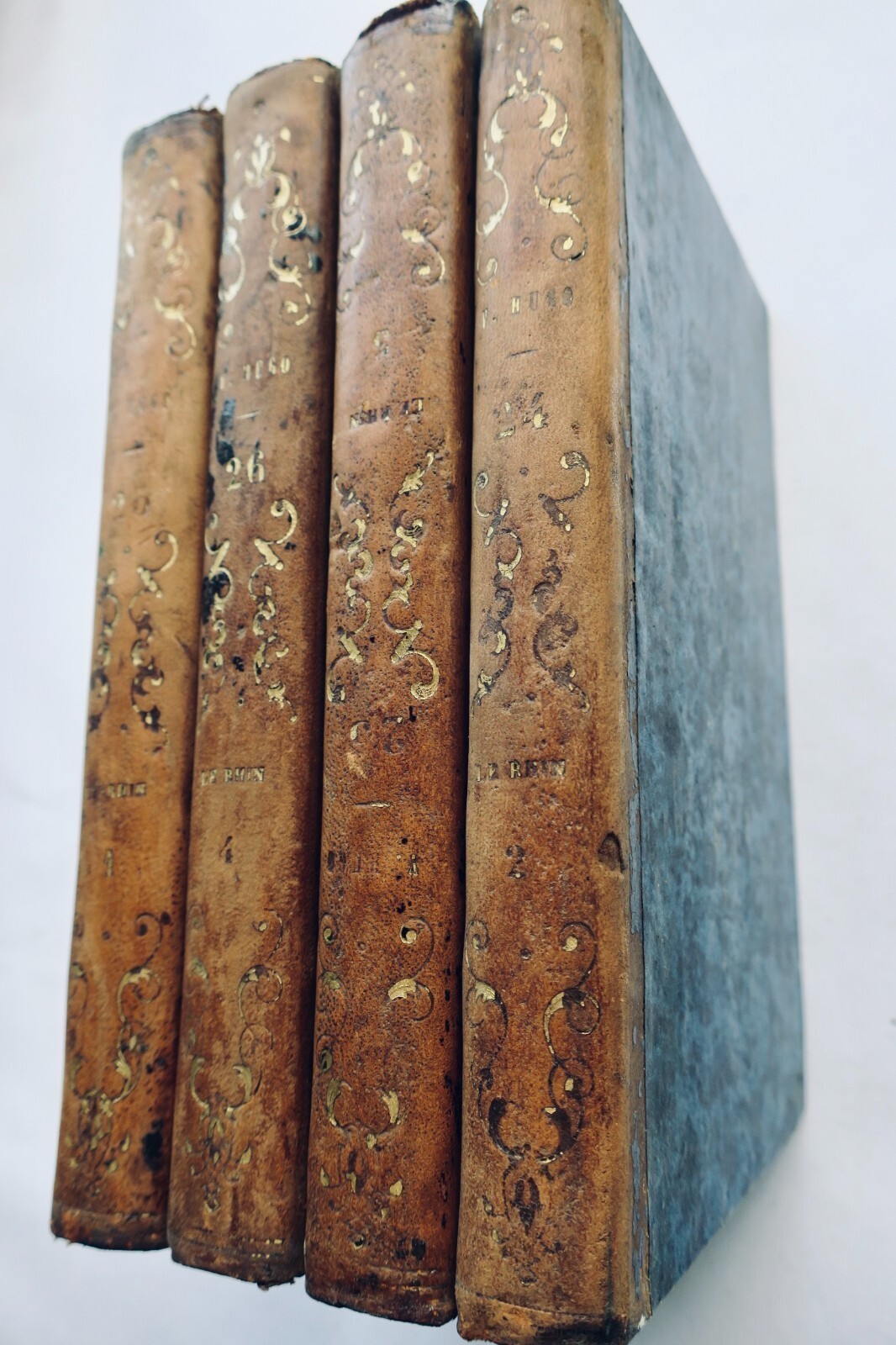
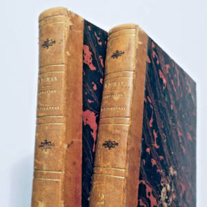
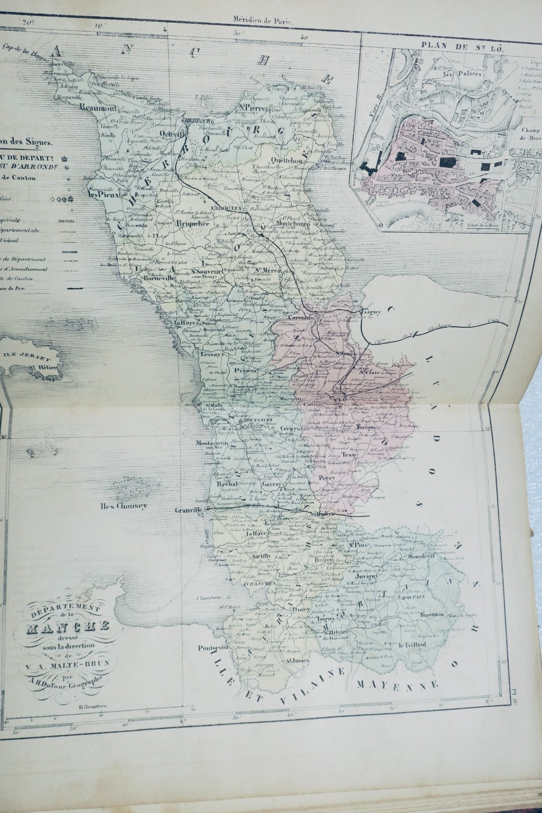
A.H. DUFOUR, created by MALTE-BRUN. This atlas contains all departments and plans of their main cities. Published by BARBA Gustave, Paris. Dimensions 20 x 28 cm. Half-leather binding damaged (missing at the spine, worn edges), with 102 well-preserved colored maps, though there are a few rare marginal cuts without missing content. Includes a folding map of Paris (numerous tears with…
Read full description ↓
LA LIBRAIRIE ANTIQUE
Independent bookshop since 1995, Paris
Worldwide shipping · SLAM membership pending[*]
[*] Membership of the Syndicate of Antiquarian and Modern Booksellers in progress.