943,00€
Subtotal: 943,00€


Subtotal: 943,00€

Subtotal: 943,00€
VENDU
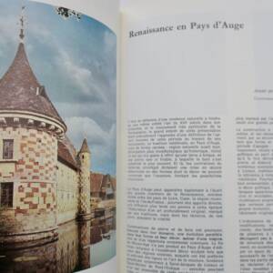
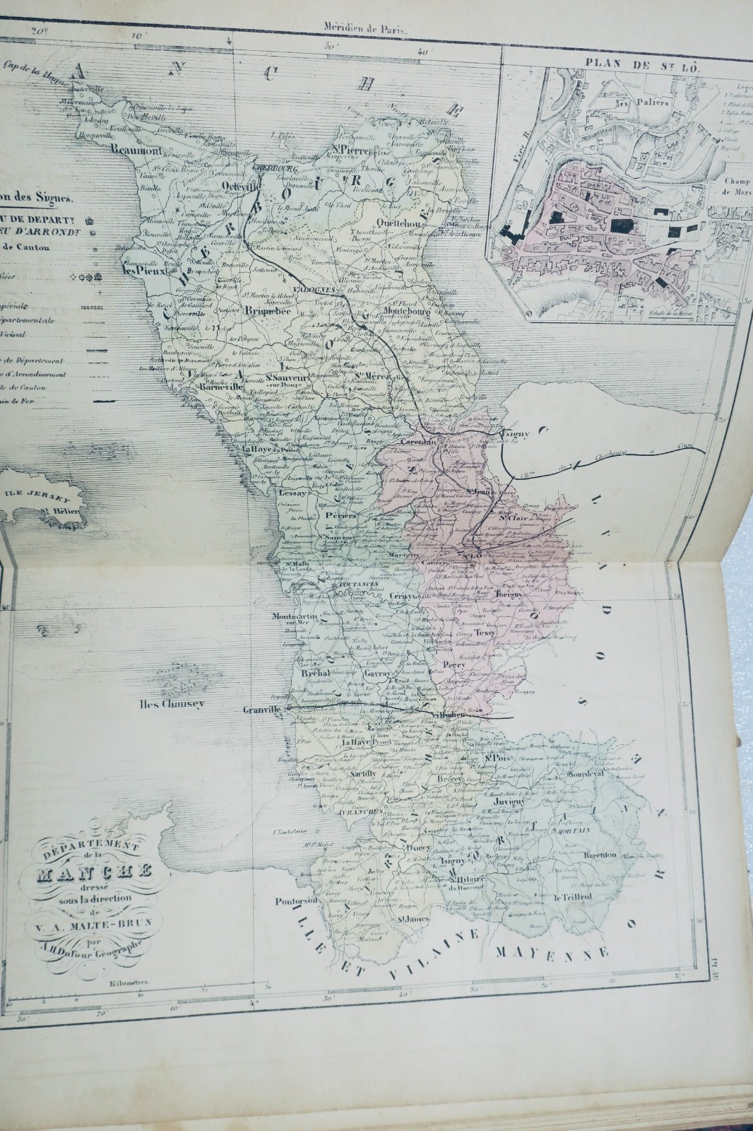
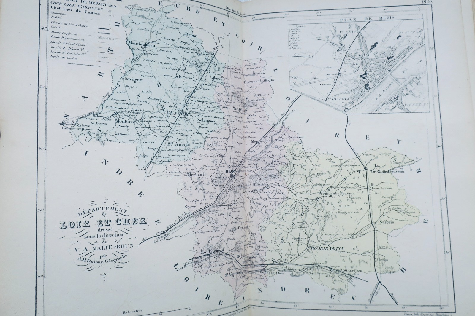
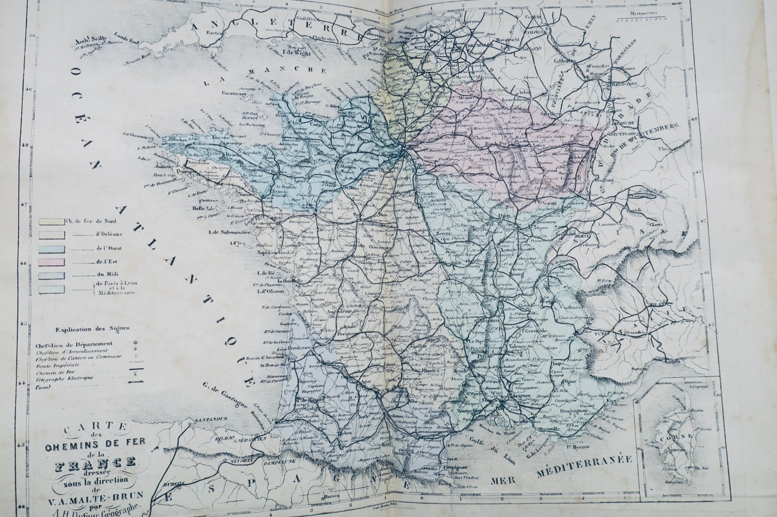
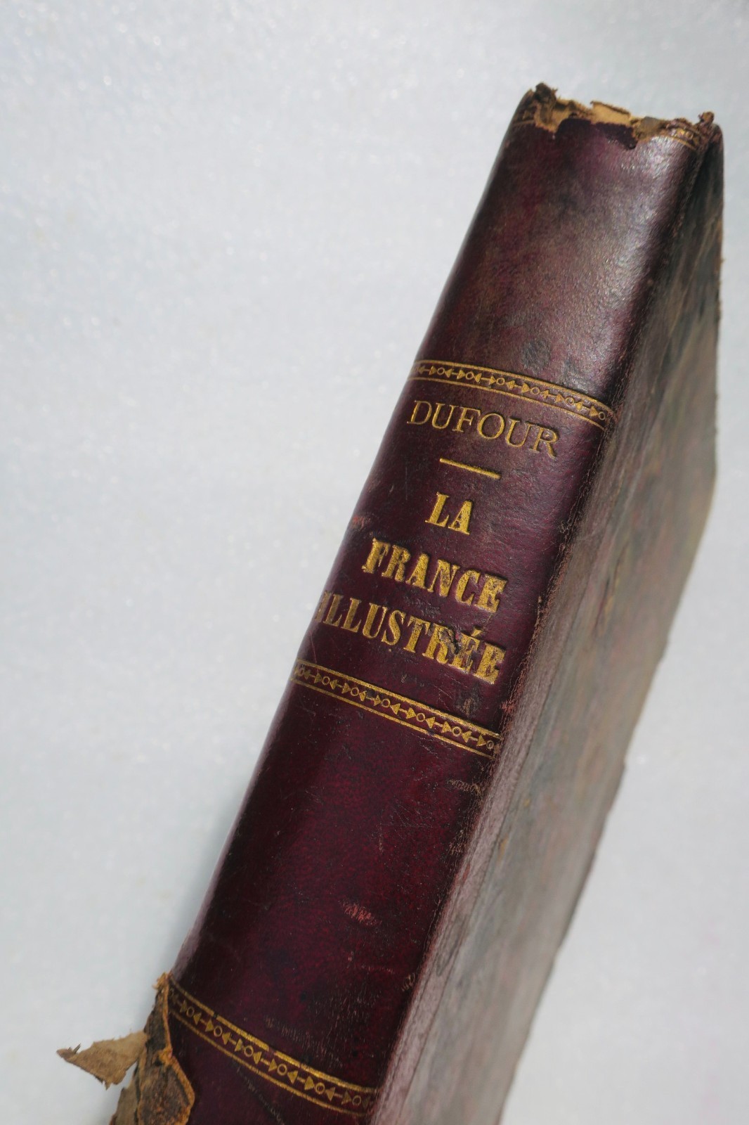
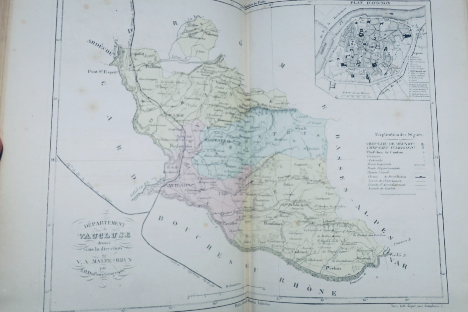
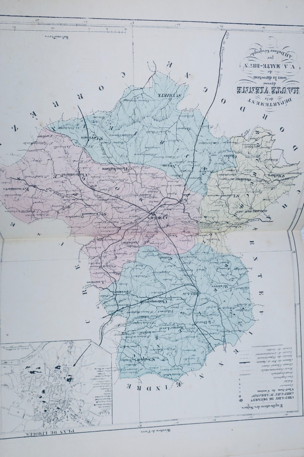
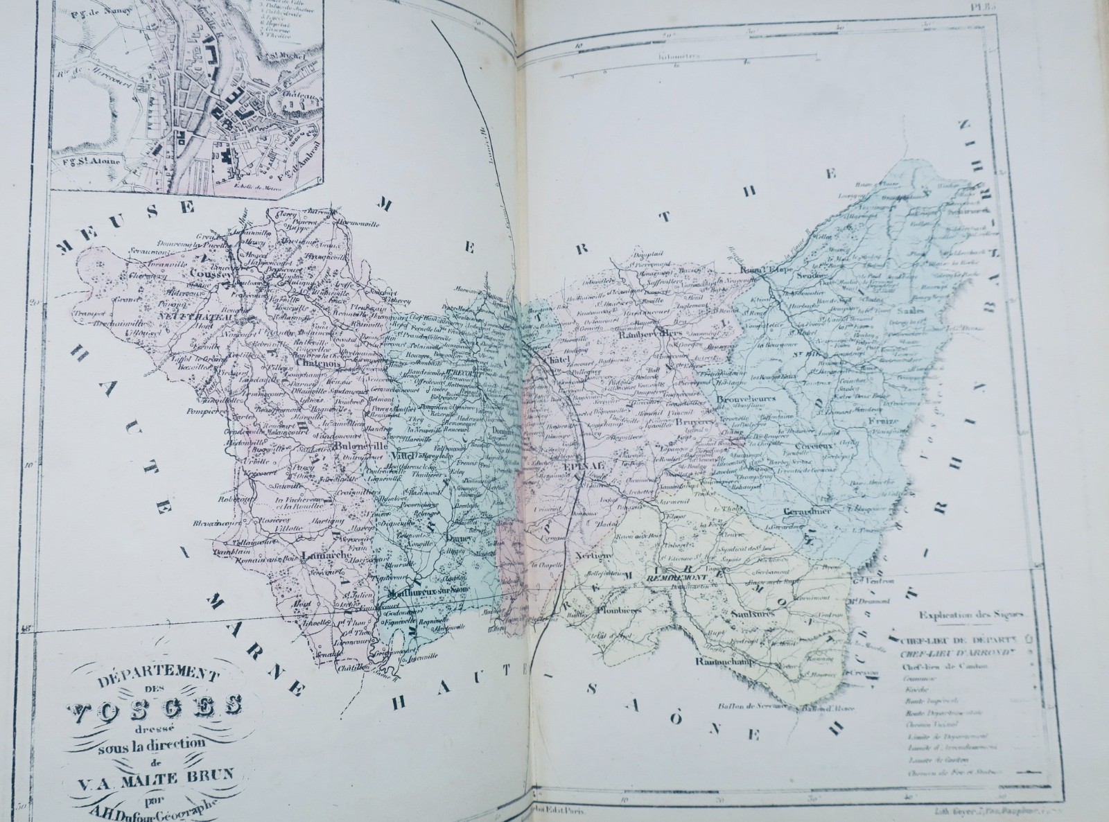
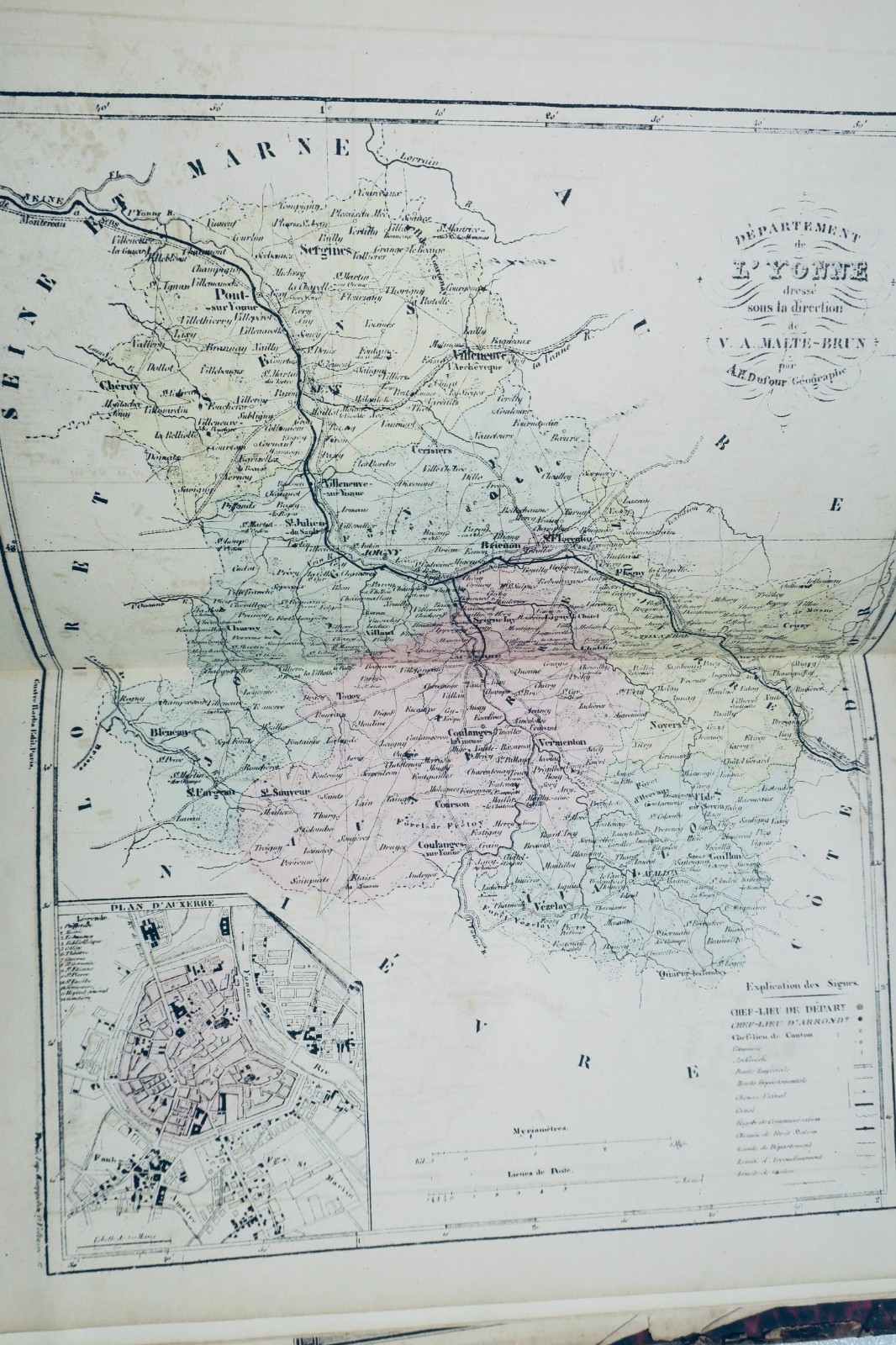
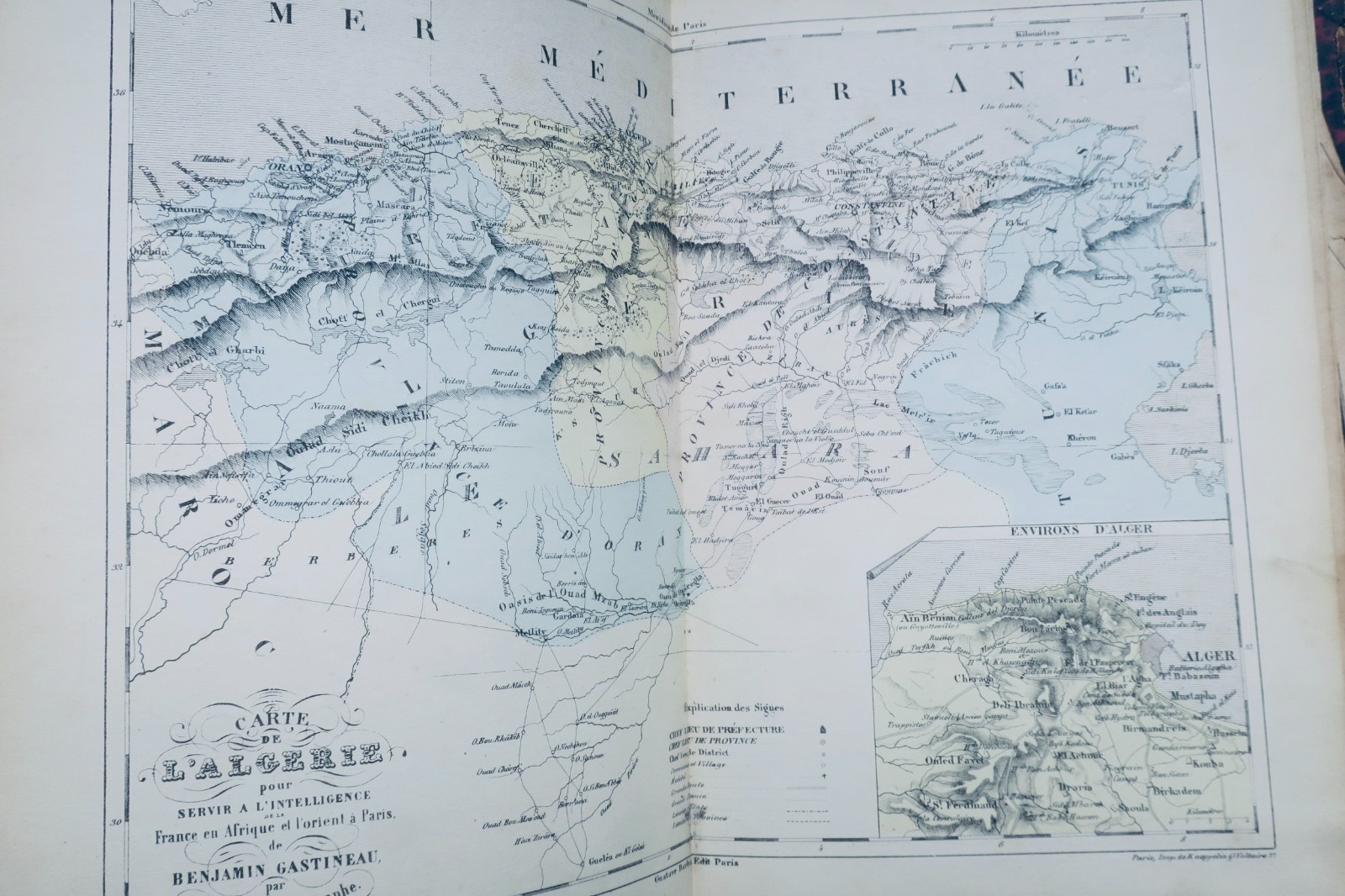
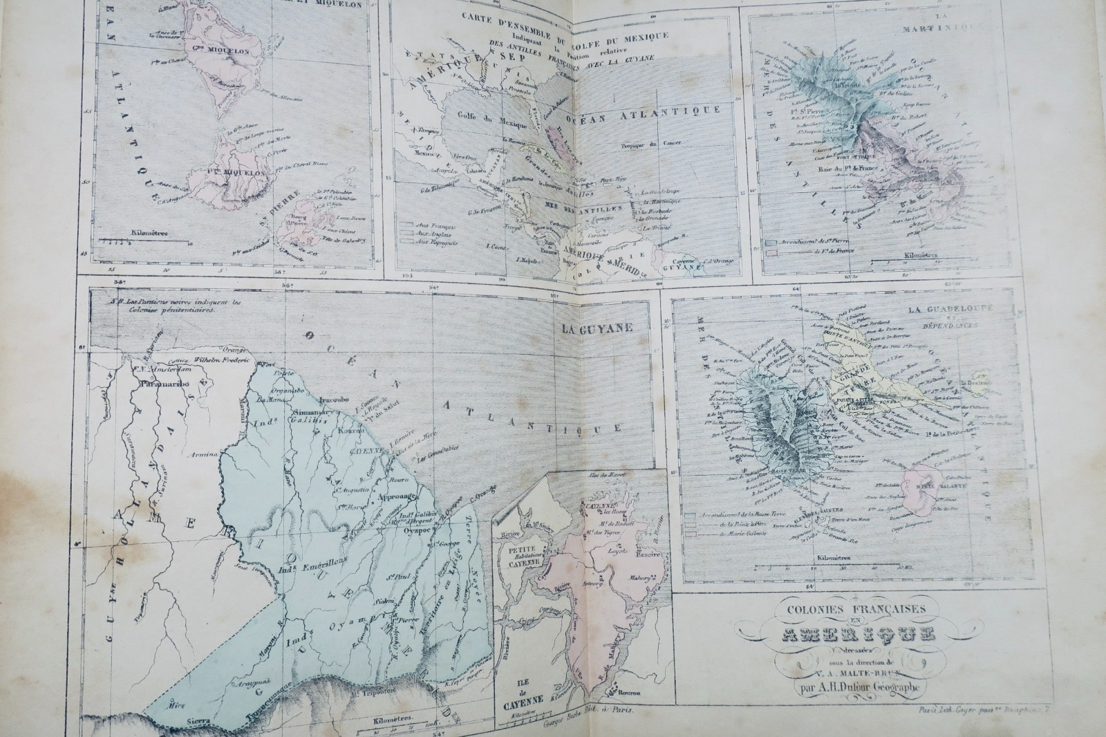
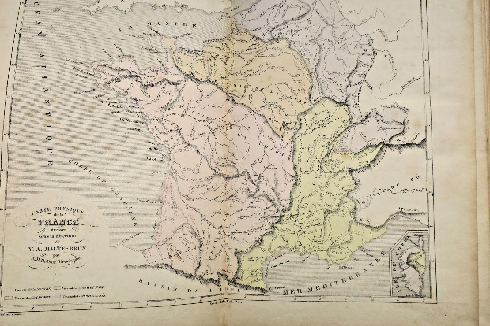
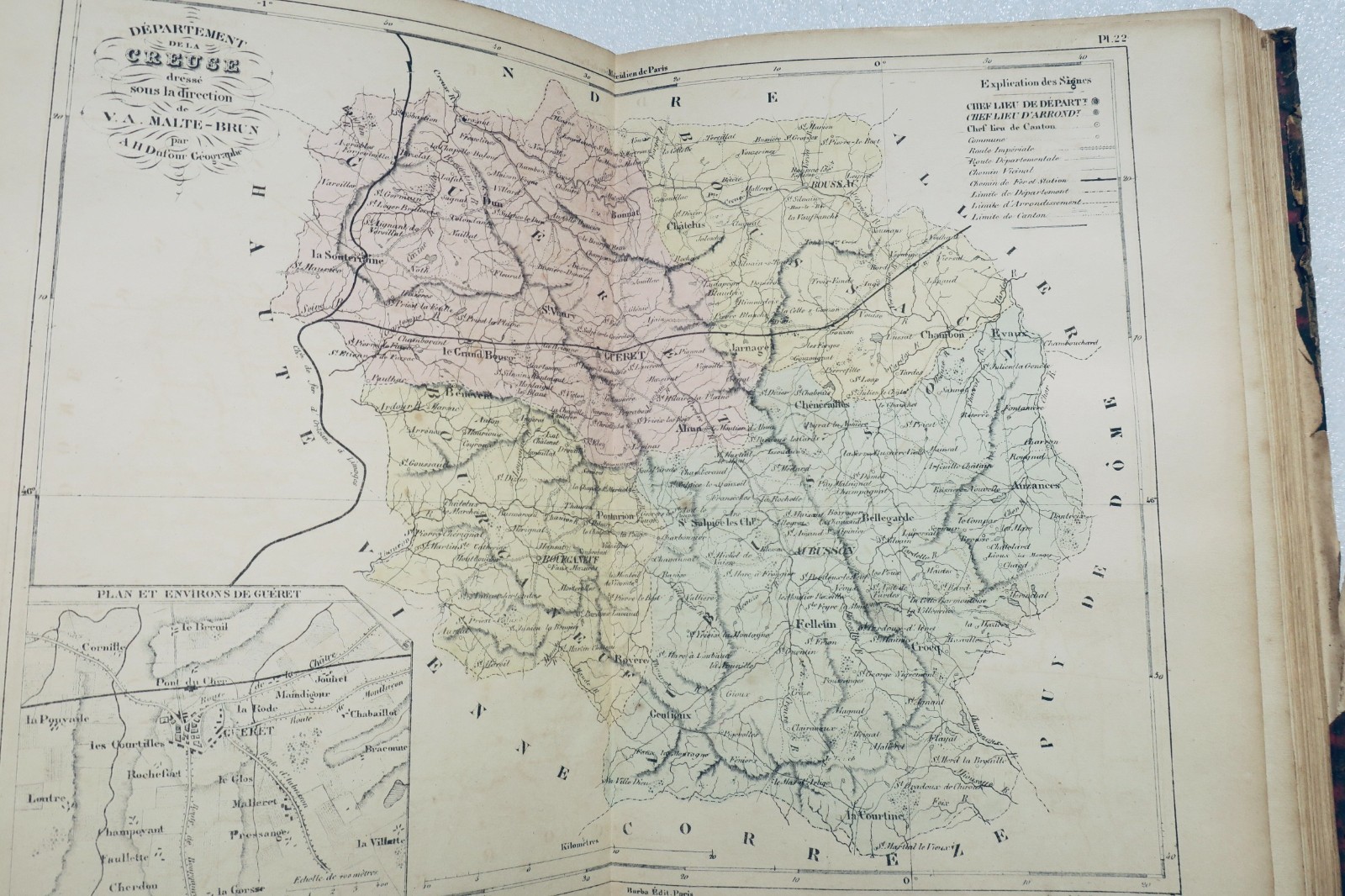
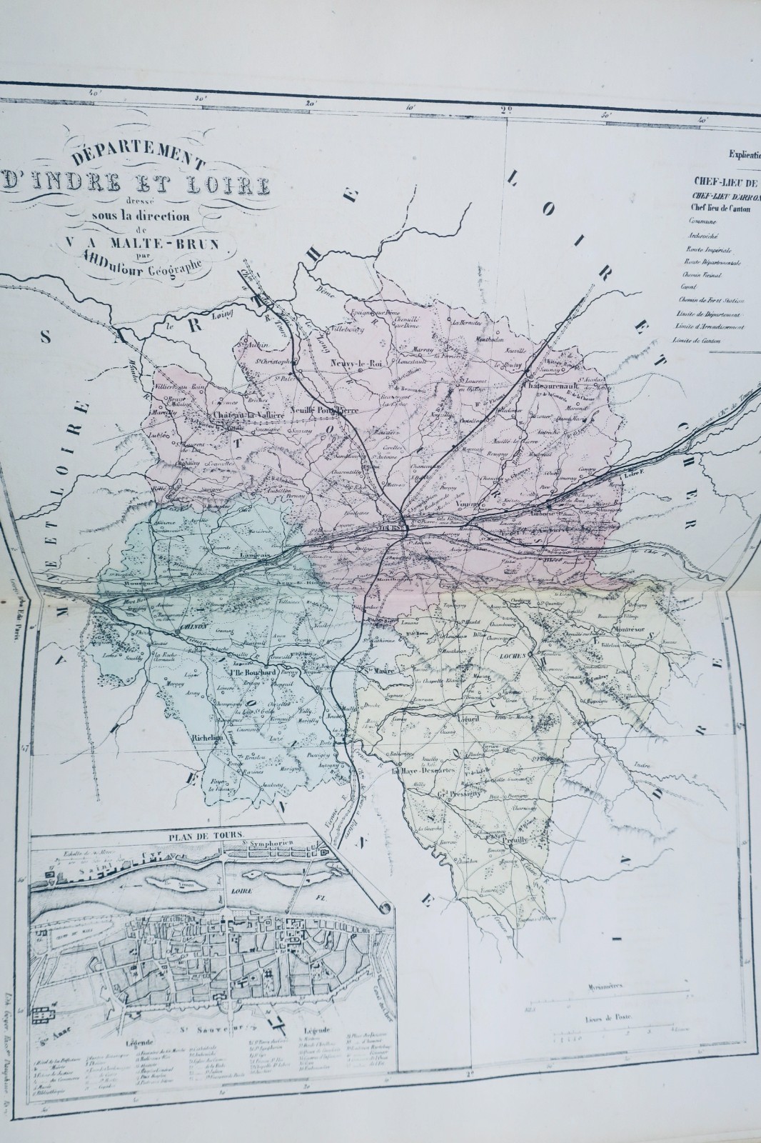
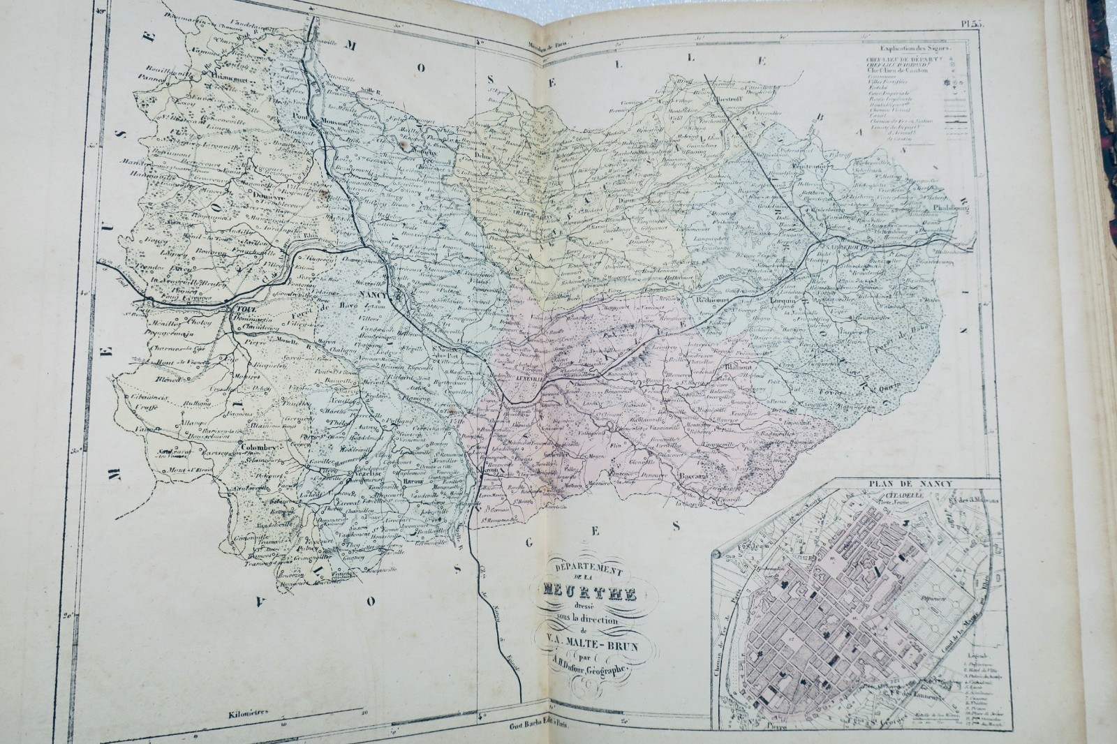
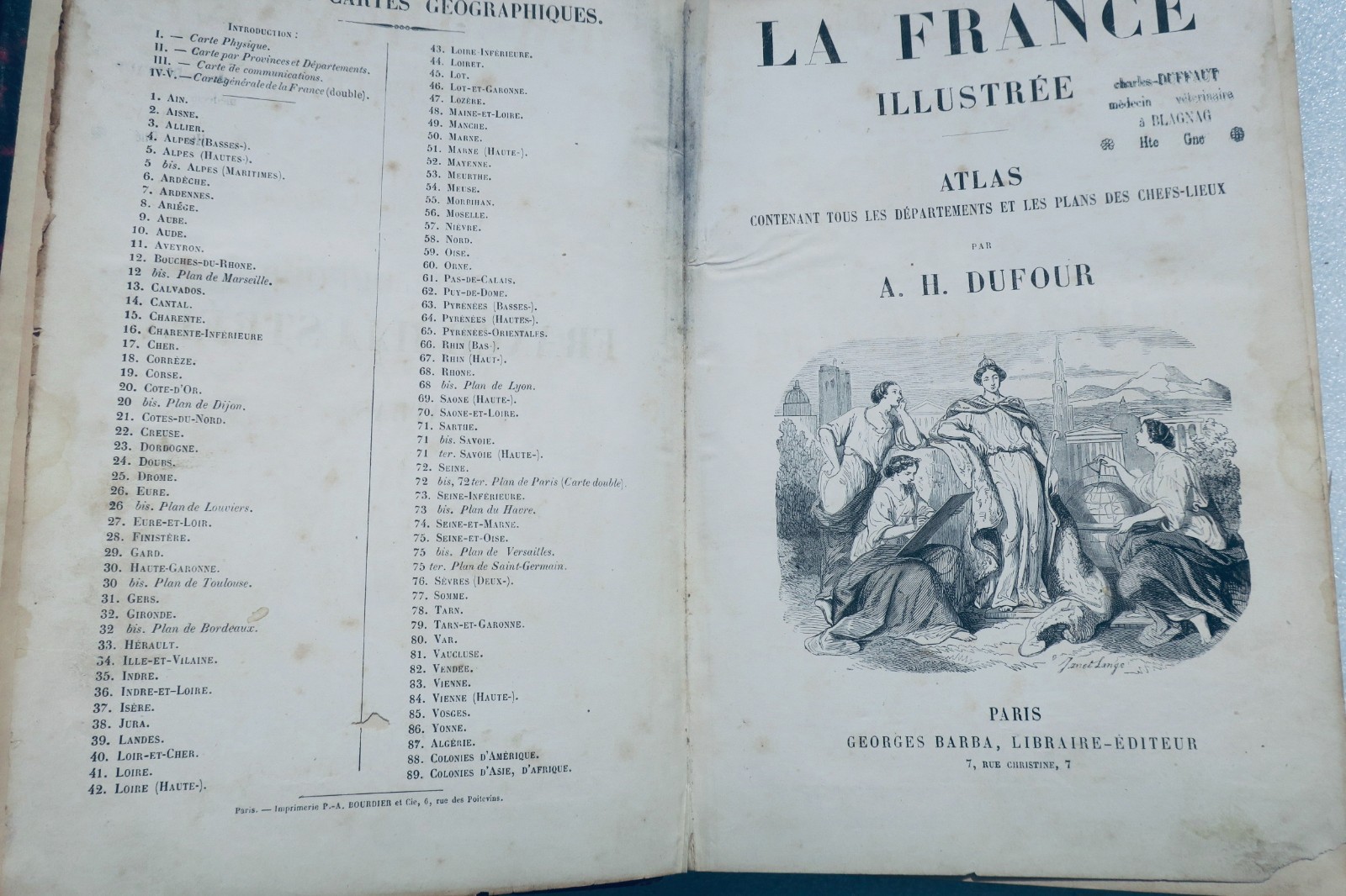
La France Illustrée. Atlas by DUFOUR A.H., drawn by MALTE-BRUN, published by Gustave BARBA, Paris, circa 1850. Format: 20 x 28 cm. Half-leather binding with wear (missing sections on spine, rubbed edges). Contains 102 colored maps in good condition with occasional marginal cuts but no significant losses. Includes a foldout map of Paris with numerous tears and minor losses. Missing…
Read full description ↓
LA LIBRAIRIE ANTIQUE
Independent bookshop since 1995, Paris
Worldwide shipping · SLAM membership pending[*]
[*] Membership of the Syndicate of Antiquarian and Modern Booksellers in progress.
Select at least 2 products
to compare