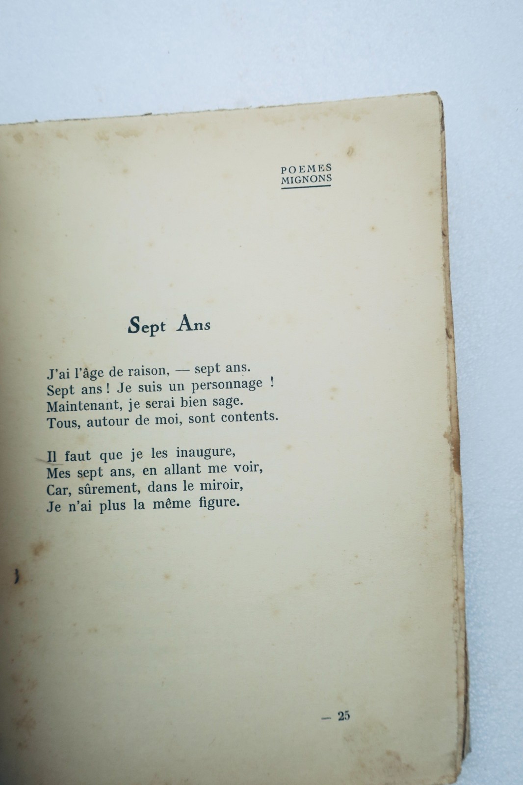
511,00€
Subtotal: 511,00€

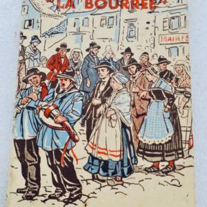


Subtotal: 511,00€

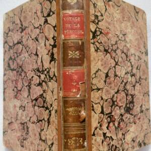
Subtotal: 511,00€
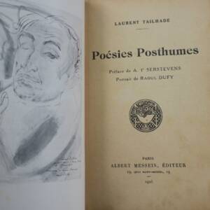
130,00€
In stock
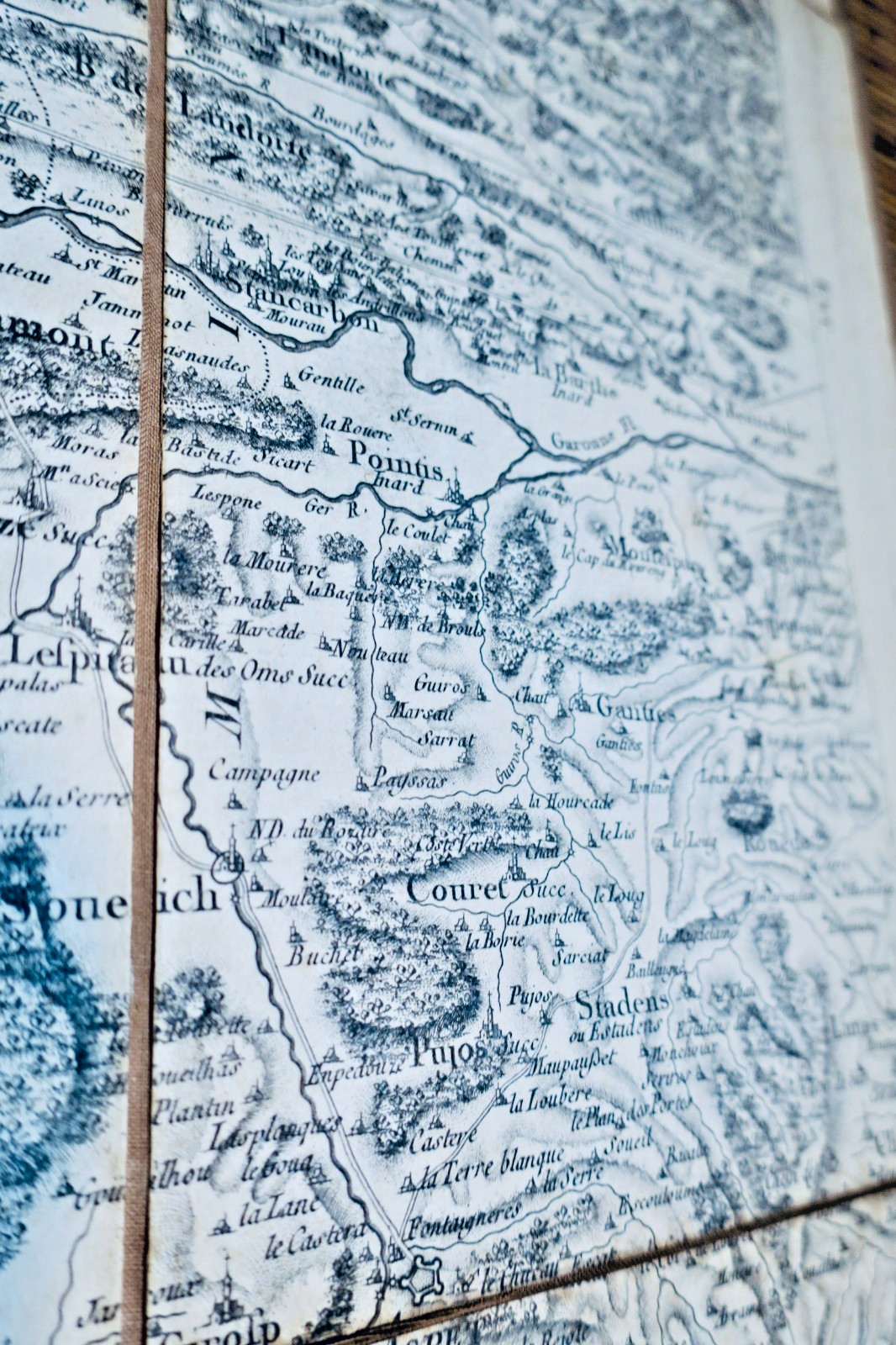
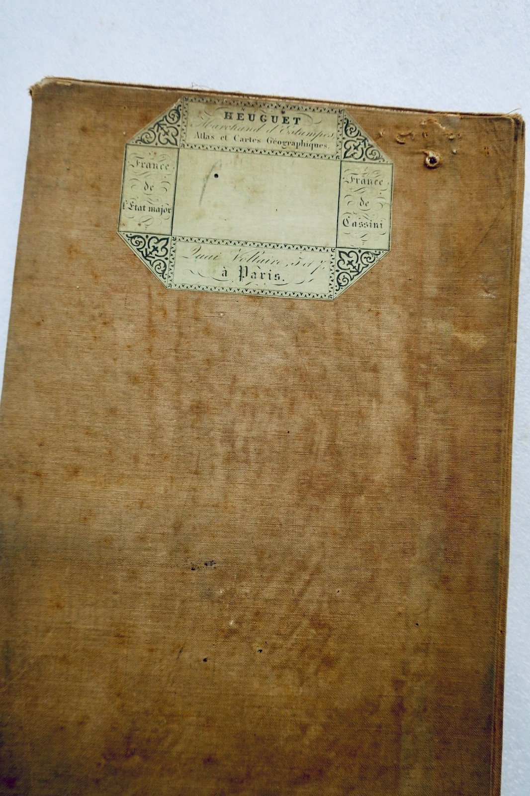
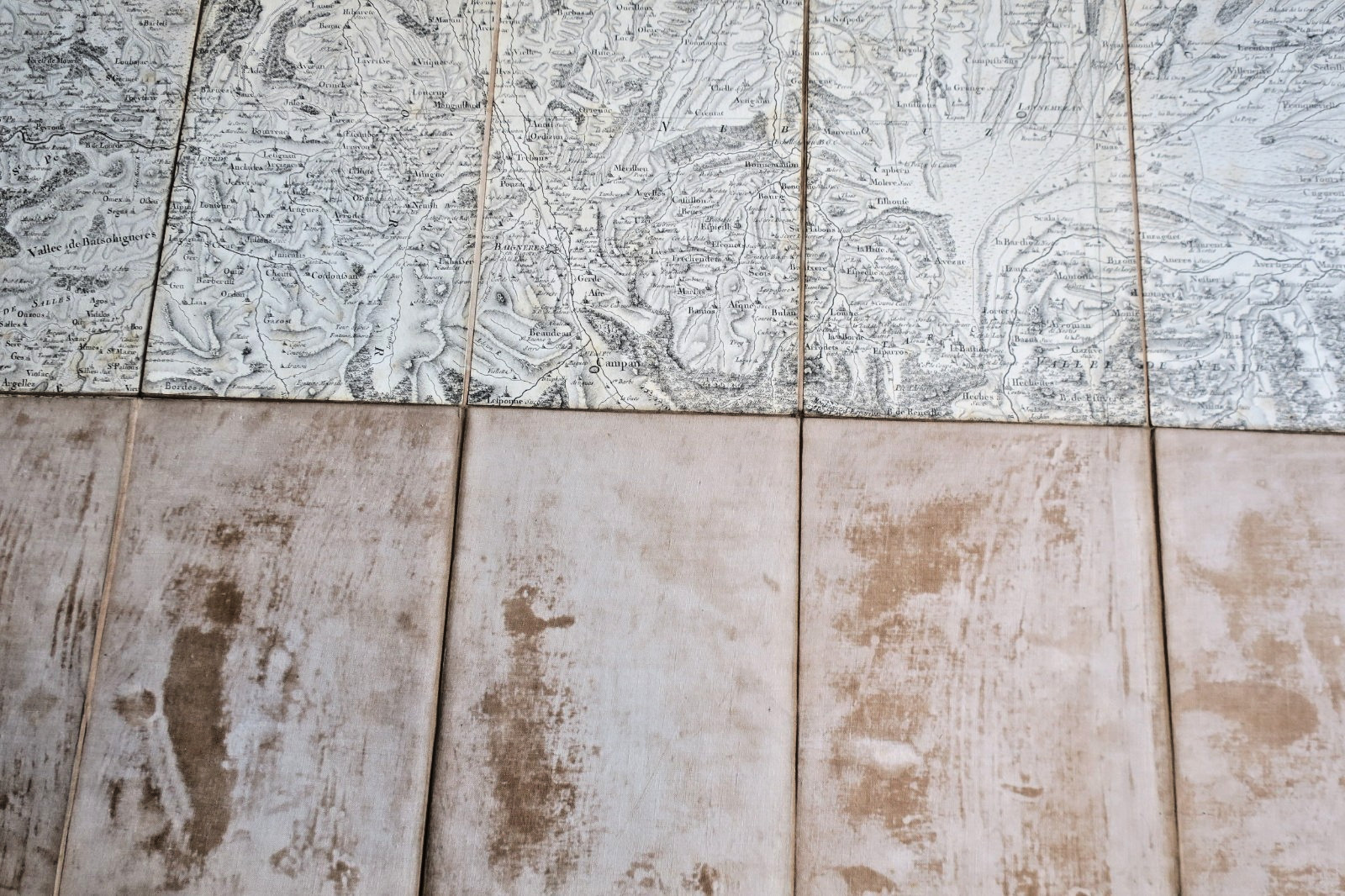
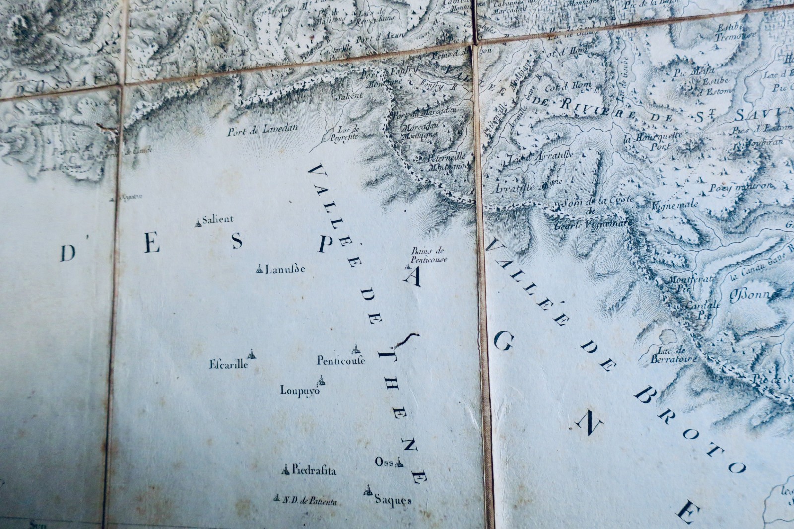
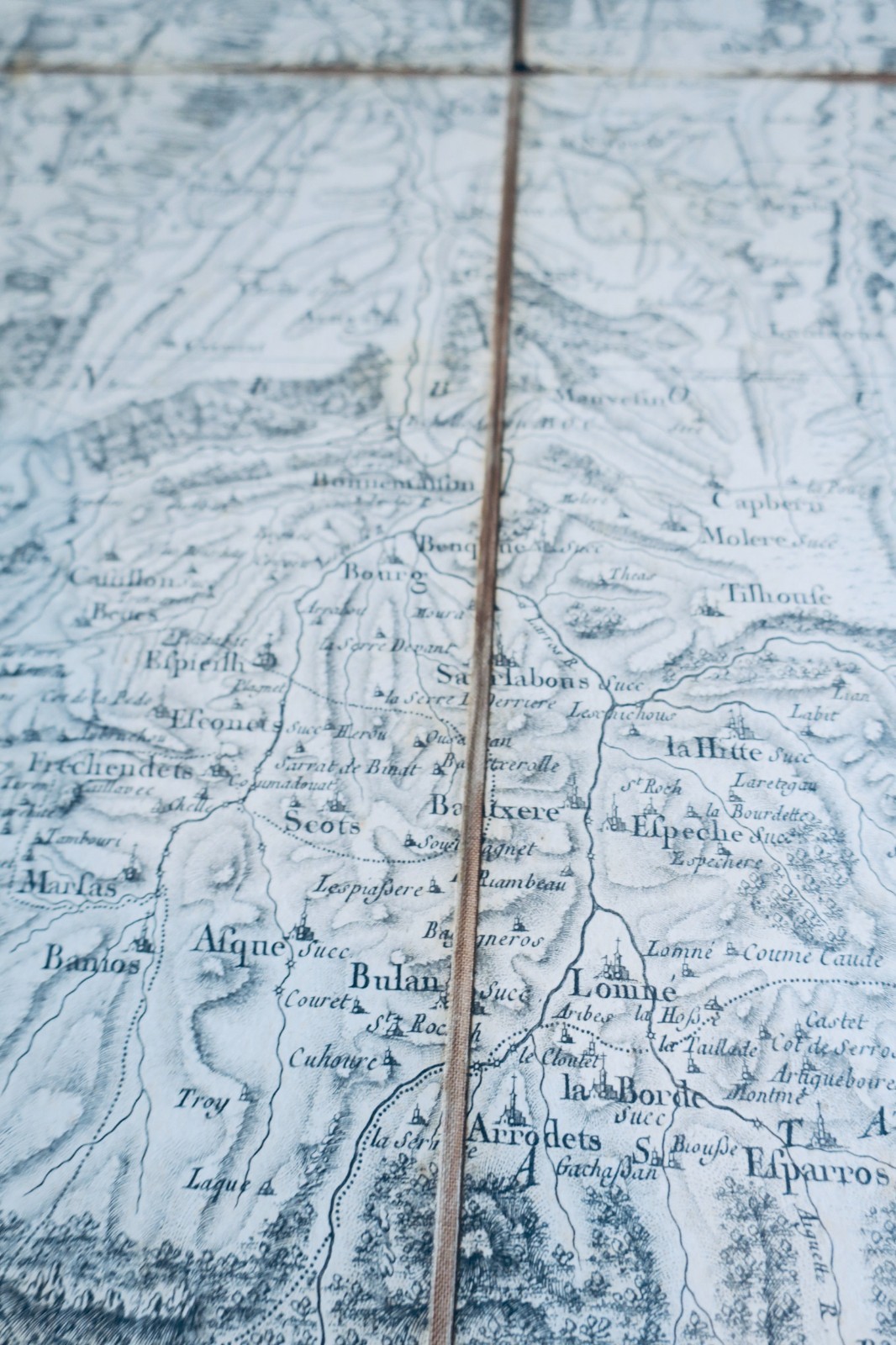
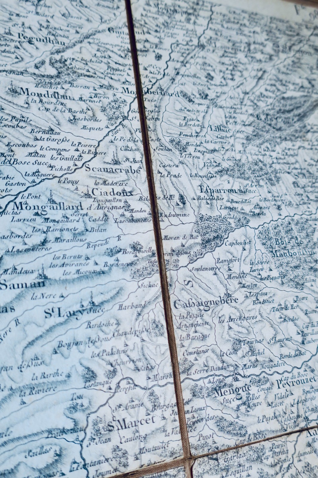
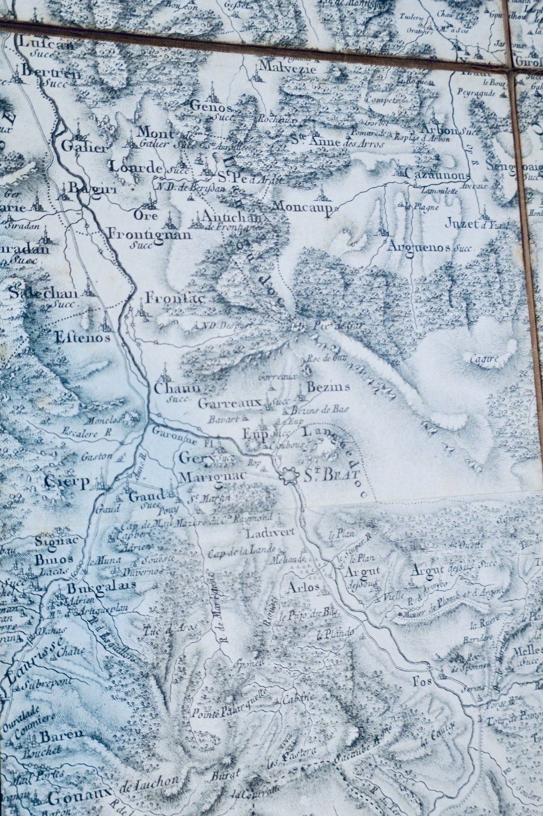
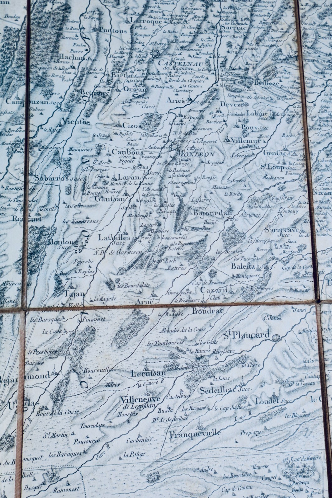
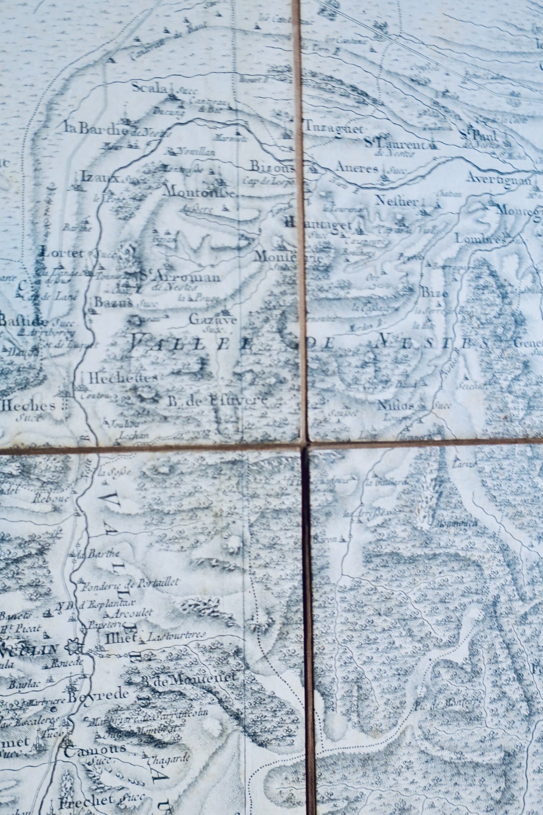
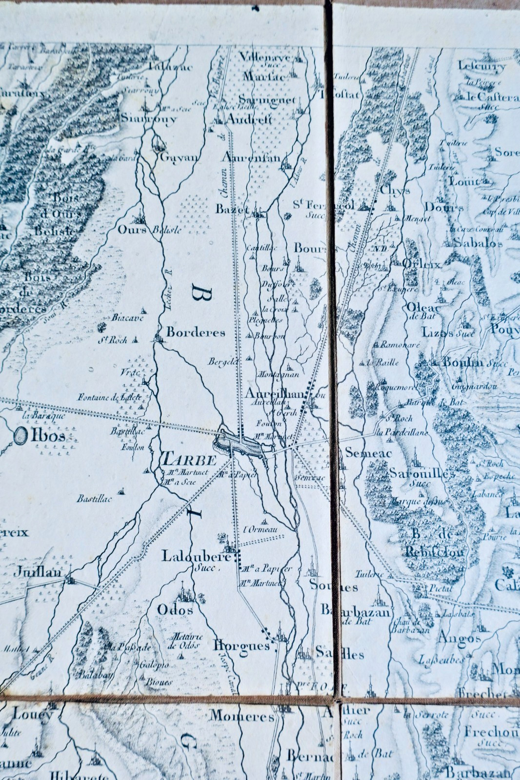
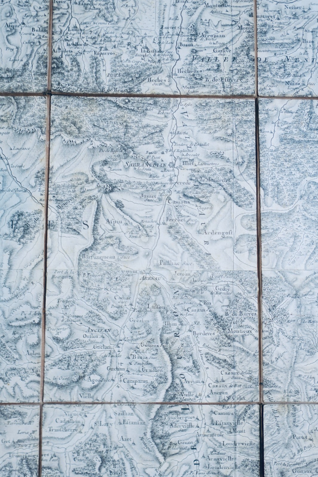
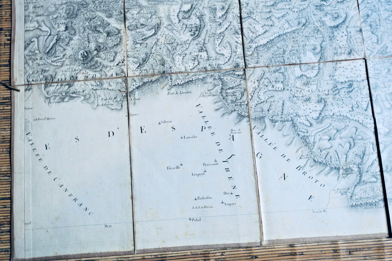
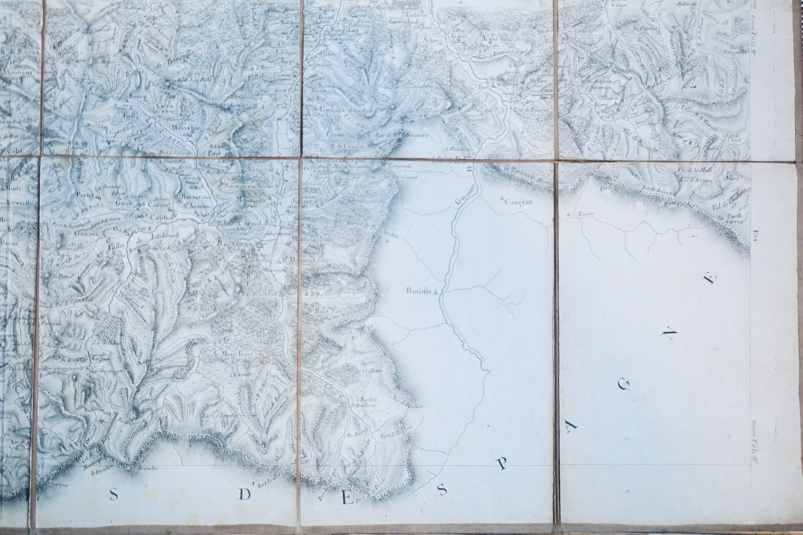
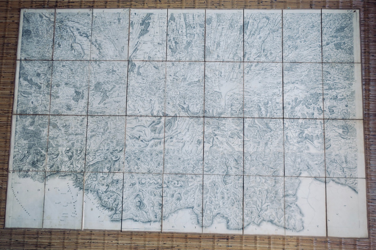
Fine linen-backed map published by Heuguet, Paris. French military survey (État-Major) and Cassini map, circa 1830. Linen backing with minor edge cuts on three sides. Scale: 1/10,000 toises. Coverage area: Tarbes, Gavarni, Arudy, Miramont sector. Format: 144 x 90 cm.
LA LIBRAIRIE ANTIQUE
Independent bookshop since 1995, Paris
Worldwide shipping · SLAM membership pending[*]
[*] Membership of the Syndicate of Antiquarian and Modern Booksellers in progress.