895,00€
Subtotal: 895,00€


Subtotal: 895,00€

Subtotal: 895,00€

370,00€
In stock
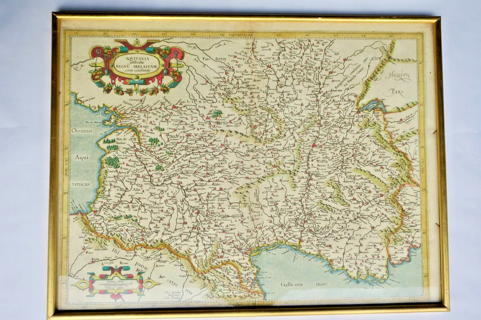
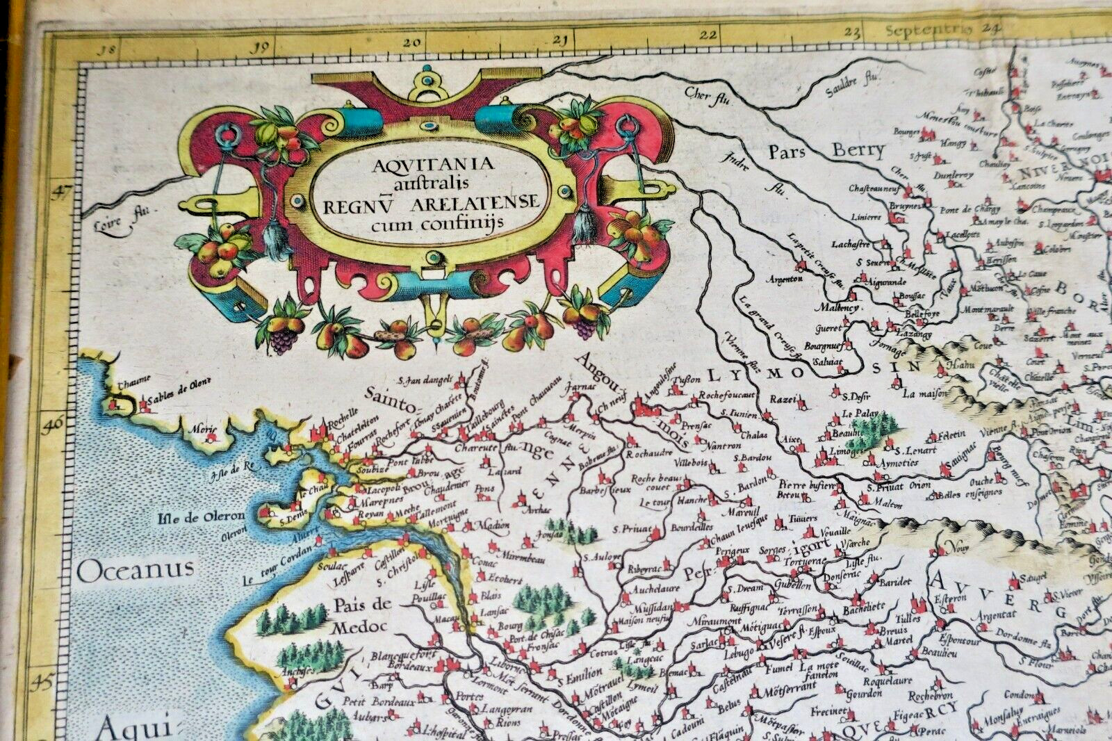
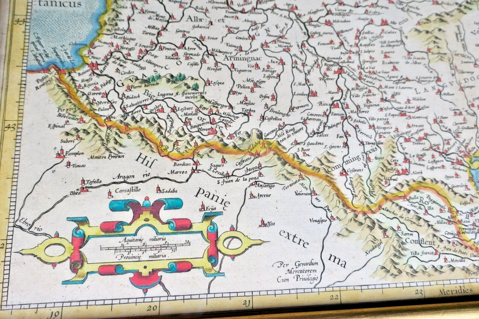
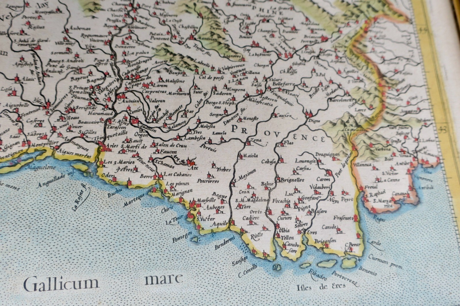
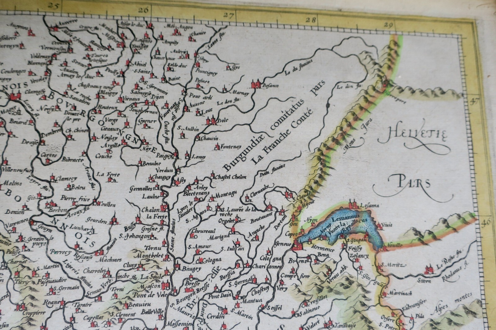
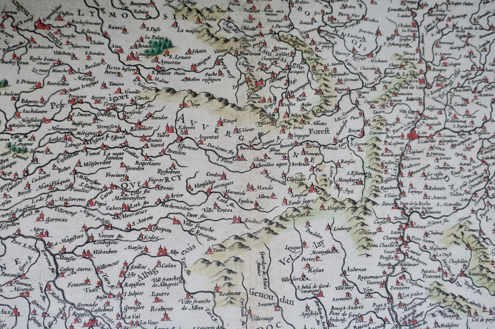
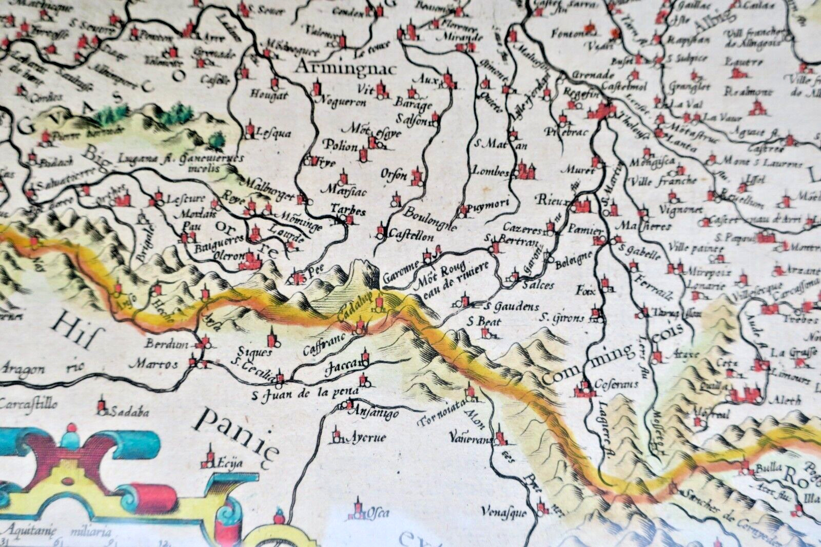
Hand-colored map, circa 1610. By Gerard MERCATOR. [Amsterdam]. Map dimensions under glass: 50 x 38.5 cm. Engraved and colored, with legend, mountainous terrain depicted, two cartouches, Latin text. Covers southern France from Auxerre (northeast) to Monaco, Spanish border (southwest), and Sables d'Olonne (northwest).
LA LIBRAIRIE ANTIQUE
Independent bookshop since 1995, Paris
Worldwide shipping · SLAM membership pending[*]
[*] Membership of the Syndicate of Antiquarian and Modern Booksellers in progress.