Aller au contenu principal

Enter your keyword

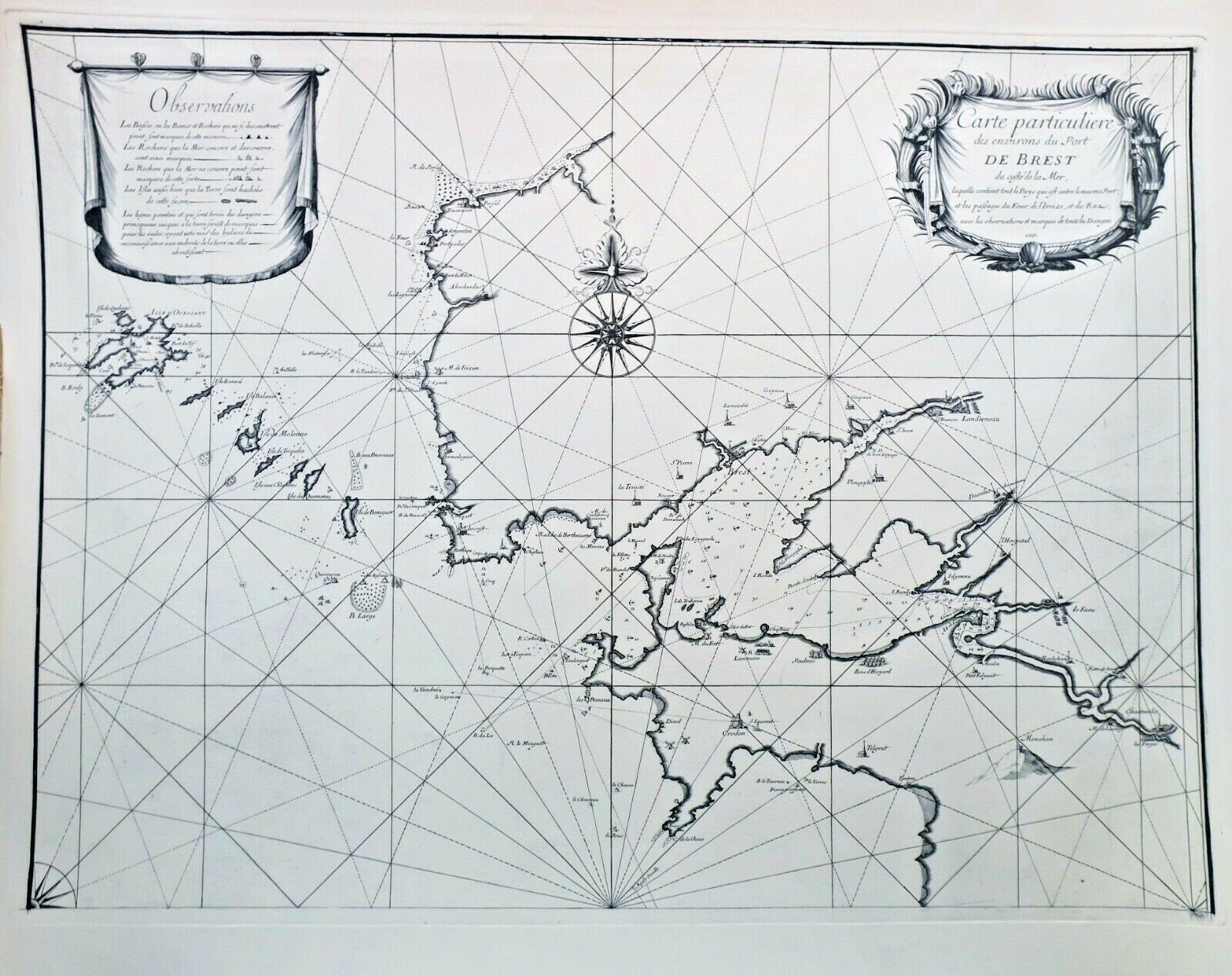
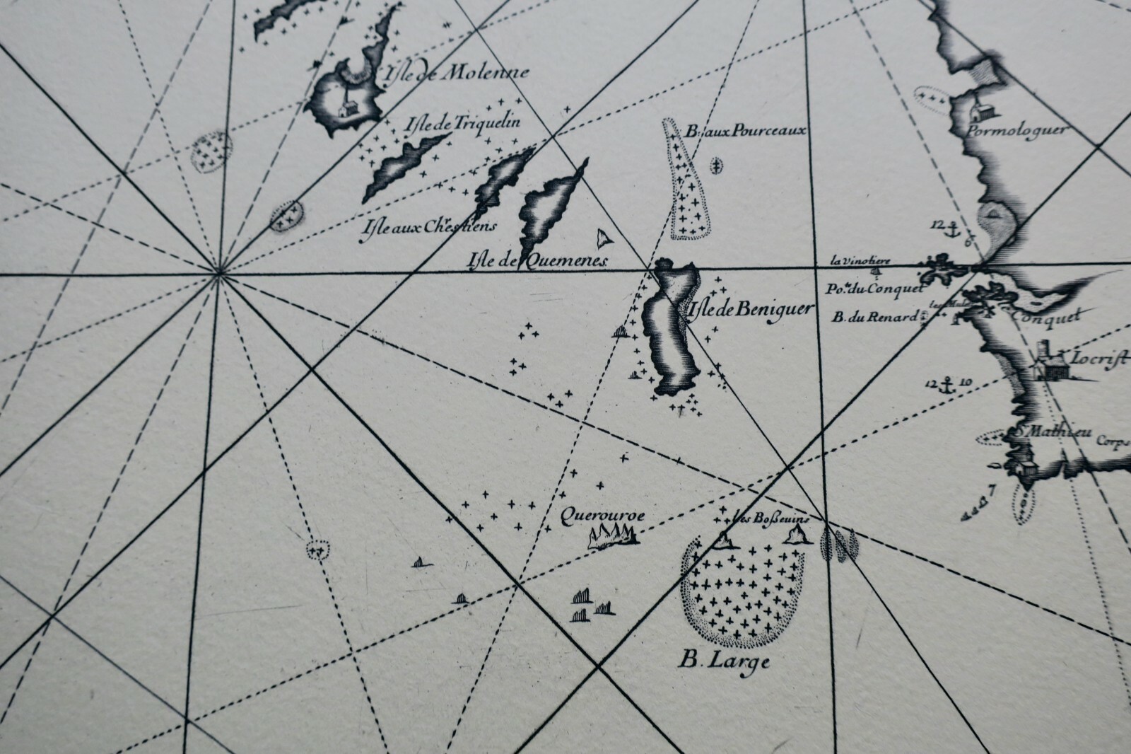
Rare engraved chart of Brest port and coastal waters, 1669
Sold

Rare engraved chart of Brest port and coastal waters, 1669

Original title : Brest Carta 62,5 X 90CM Carta Especial De Aprox De Envío Brest 1669

VENDU

Guaranteed authentic
Every book is examined and described individually by us. Professional booksellers since 1995.

About this book

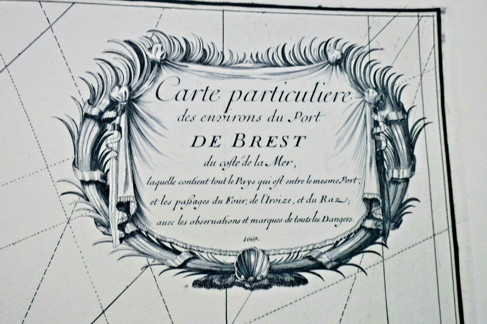
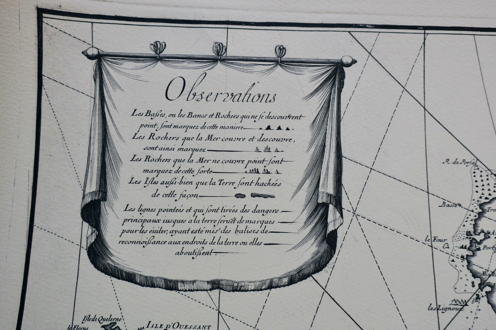
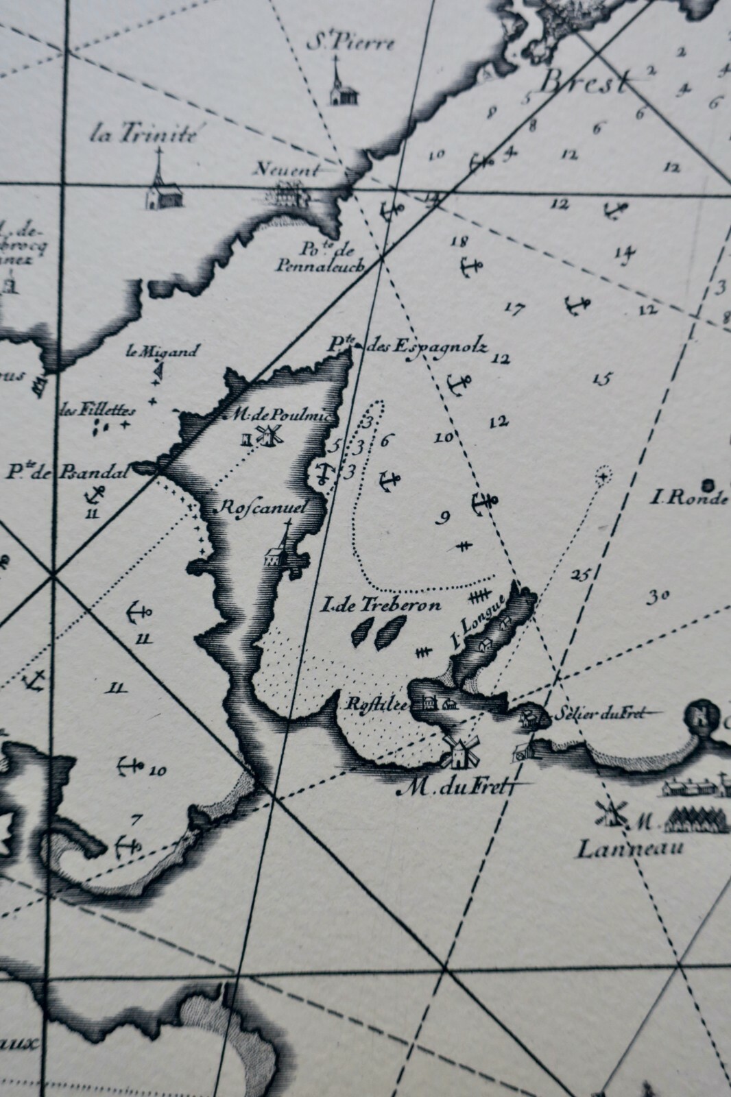
Particular map of the surroundings of Brest harbor on the seaward side, containing all the territory between the port and the landscapes of Four, Iroize and Raz with observations and markings of all dangers. Magnificent and rare engraved map, in wash, on Arches vellum paper. Dimensions: 62.5 x 90 cm.

Top fiabilité eBay depuis 19958 247 avis positifsLivraison soignée + suiviPaiement sécurisé
VENDU N/A .
A question about this book?

Condition, collation, binding, additional photographs: write to us, we reply within 48 working hours.

Description

Particular map of the surroundings of Brest harbor on the seaward side, containing all the territory between the port and the landscapes of Four, Iroize and Raz with observations and markings of all dangers. Magnificent and rare engraved map, in wash, on Arches vellum paper. Dimensions: 62.5 x 90 cm.

LA LIBRAIRIE ANTIQUE
Independent bookshop since 1995, Paris
Worldwide shipping · SLAM membership pending[*]

[*] Membership of the Syndicate of Antiquarian and Modern Booksellers in progress.

Vendeur Top Fiabilite depuis 1995

Vous etes deja sur La Librairie Antique

Merci de votre confiance ! Nous sommes effectivement presents sur eBay avec 99,8 % de satisfaction client, mais notre catalogue complet de 30 000 livres anciens vit uniquement ici, sur lalibrairieantique.fr.

Voir quand meme sur eBay