0
0,00€
An empty cart
You have no item in your shopping cart



63,75€
❦One copy only
As with every antiquarian book, this is the only copy we hold. Once sold, it will not be restocked.
Guaranteed authentic
Every book is examined and described individually by us. Professional booksellers since 1995.
In stock
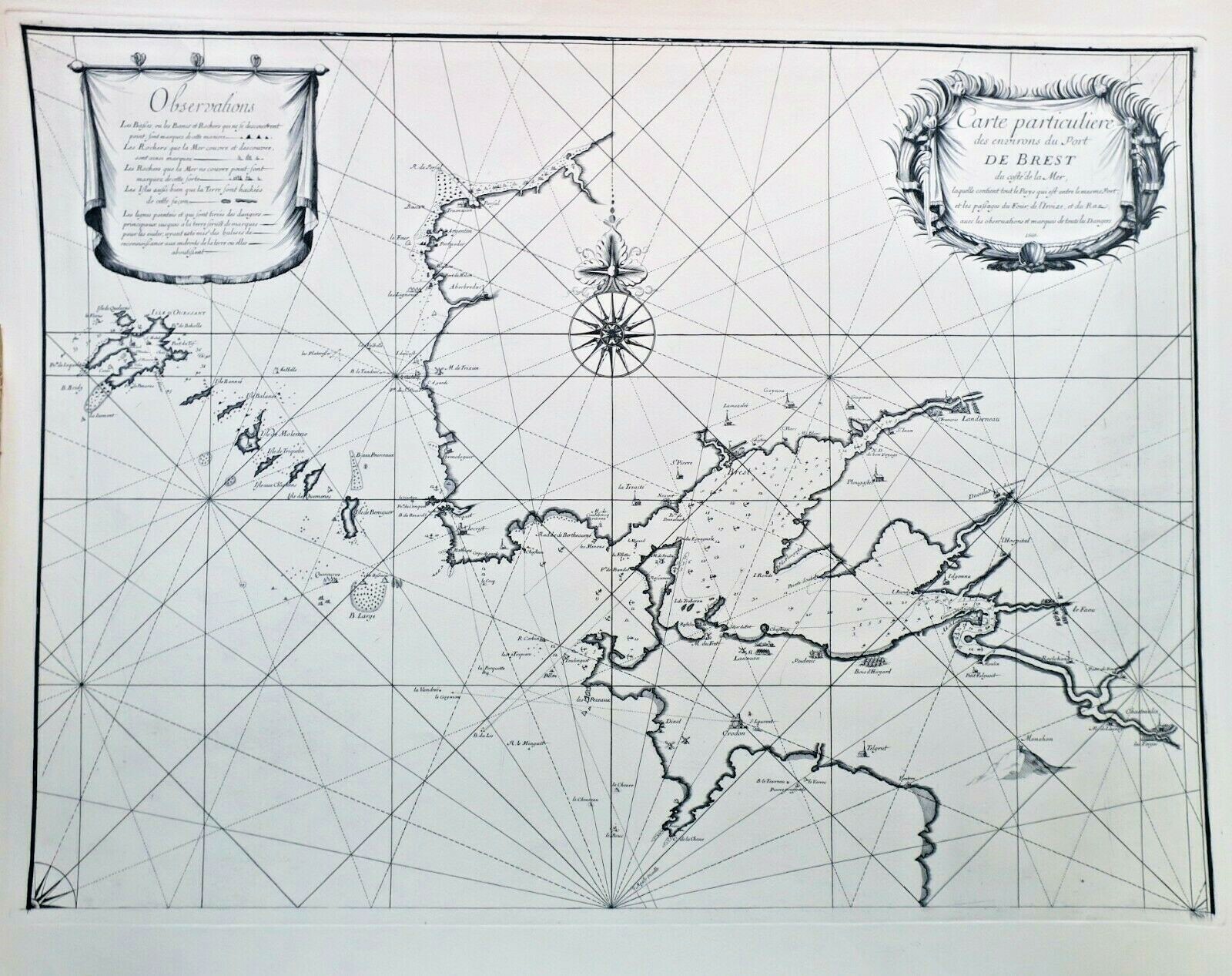
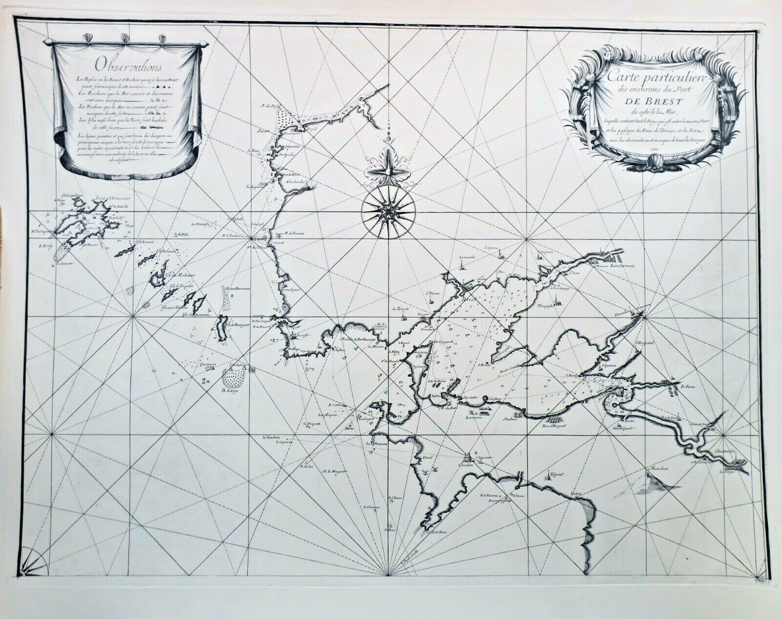
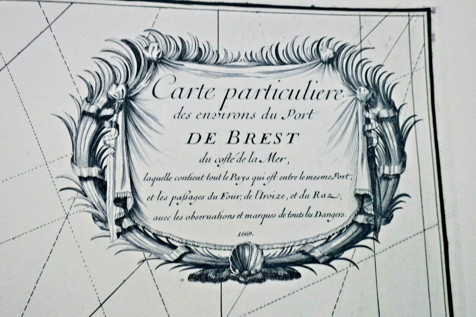
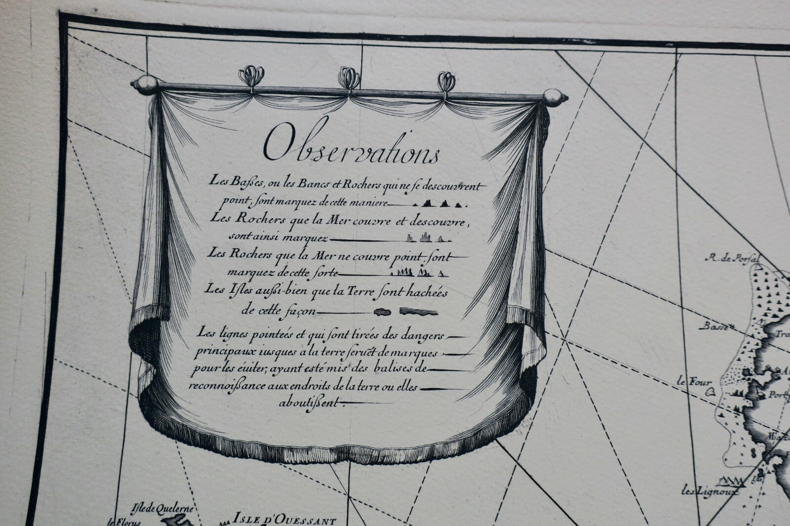
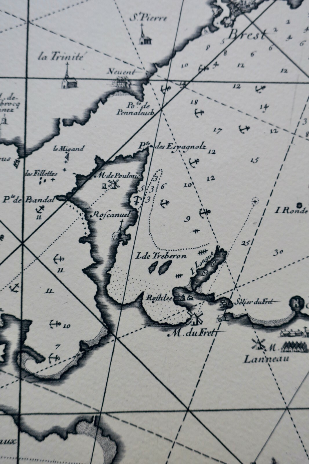
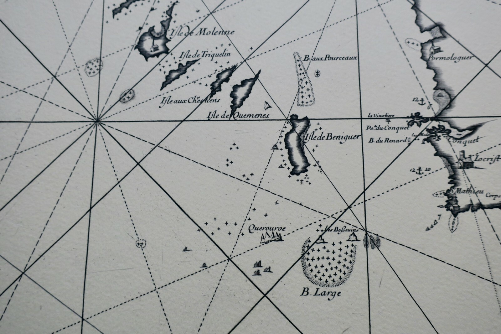
Particular map of the surroundings of Brest harbor, covering the area between the port and the landscapes of Le Fret, L'Iroise, and Raz. Includes observations and markings of all sea hazards. Superb and rare engraved map on Arches vellum paper, in a cuvette format.
LA LIBRAIRIE ANTIQUE
Independent bookshop since 1995, Paris
Worldwide shipping · SLAM membership pending[*]
[*] Membership of the Syndicate of Antiquarian and Modern Booksellers in progress.
Tell us what is not working, we fix things quickly. The page you are on is attached automatically.