Cartographic history of Banks Peninsula, 1770-1850
You cannot add that amount to the cart — we have 1 in stock and you already have 1 in your cart. View cart
“1903 Atlas of Basses-Pyrénées by Adolphe Joanne❦ BASSES-PYRENEES 1903 cartes et gravures JOANNE ADOLPHE GEOGRAPHIE DES” has been added to your cart. Continue shopping
“Exploration of Celestial Matter❦ JOUVE Pierre Jean Matière Céleste” has been added to your cart. Continue shopping
Sold
Cartographic history of Banks Peninsula, 1770-1850
Original title :New Zeeland EARLY SKETCHES AND CHARTS OF BANKS PENINSULA 1770-1850
VENDU
About this book
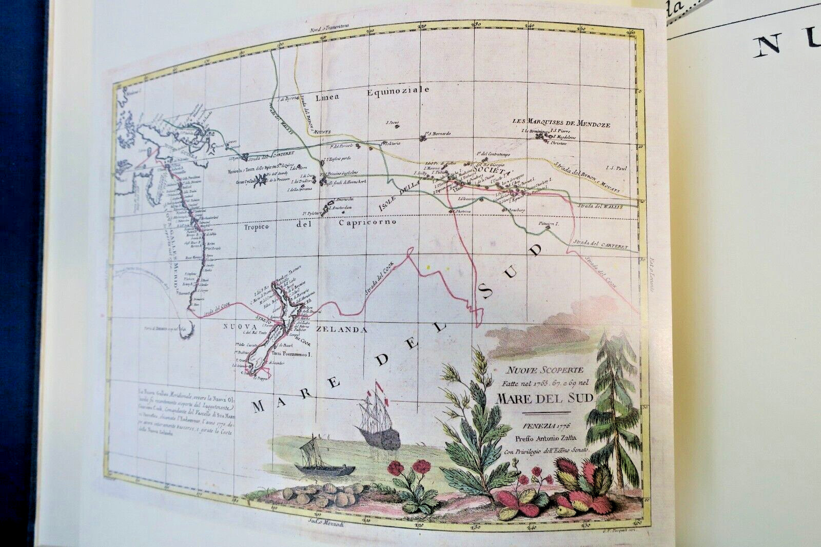
MALING, Peter Bromley. Early Sketches and Charts of Banks Peninsula 1770-1850. Wellington: A.H. & A.W. Reed, 1981. First New Zealand Edition. 103 pp. with numerous maps, charts and drawings, 82 plates including 27 hand-colored plates tipped-in. Hardcover folio in original blue cloth boards with leather spine, housed in blue boxed case. Page dimensions: 390 x 271mm. Limited deluxe edition, copy…
MALING, Peter Bromley. Early Sketches and Charts of Banks Peninsula 1770-1850. Wellington: A.H. & A.W. Reed, 1981. First New Zealand Edition. 103 pp. with numerous maps, charts and drawings, 82 plates including 27 hand-colored plates tipped-in. Hardcover folio in original blue cloth boards with leather spine, housed in blue boxed case. Page dimensions: 390 x 271mm. Limited deluxe edition, copy no. 417 of 500. Fine condition with ex dono of New Zealand Prime Minister Jim Bolger. Contents include periods from Cook to D'Urville (1770-1840), French settlement arrival (1840), Akaroa artists (1841), Charles Meryon documentation (1843-46), journal artists Selwyn, Barnicoat and Mantell (1844-49), William Fox and Canterbury settlement (1848-50), Richard Aldworth Oliver (1848-50). Decorative endpapers and quality paper throughout.