0
0,00€
An empty cart
You have no item in your shopping cart


VENDU
Guaranteed authentic
Every book is examined and described individually by us. Professional booksellers since 1995.
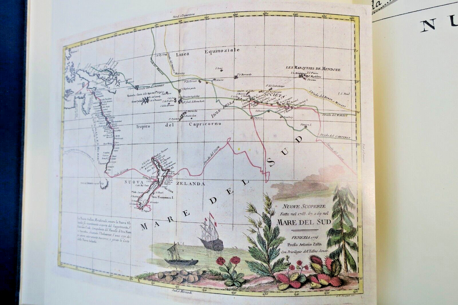
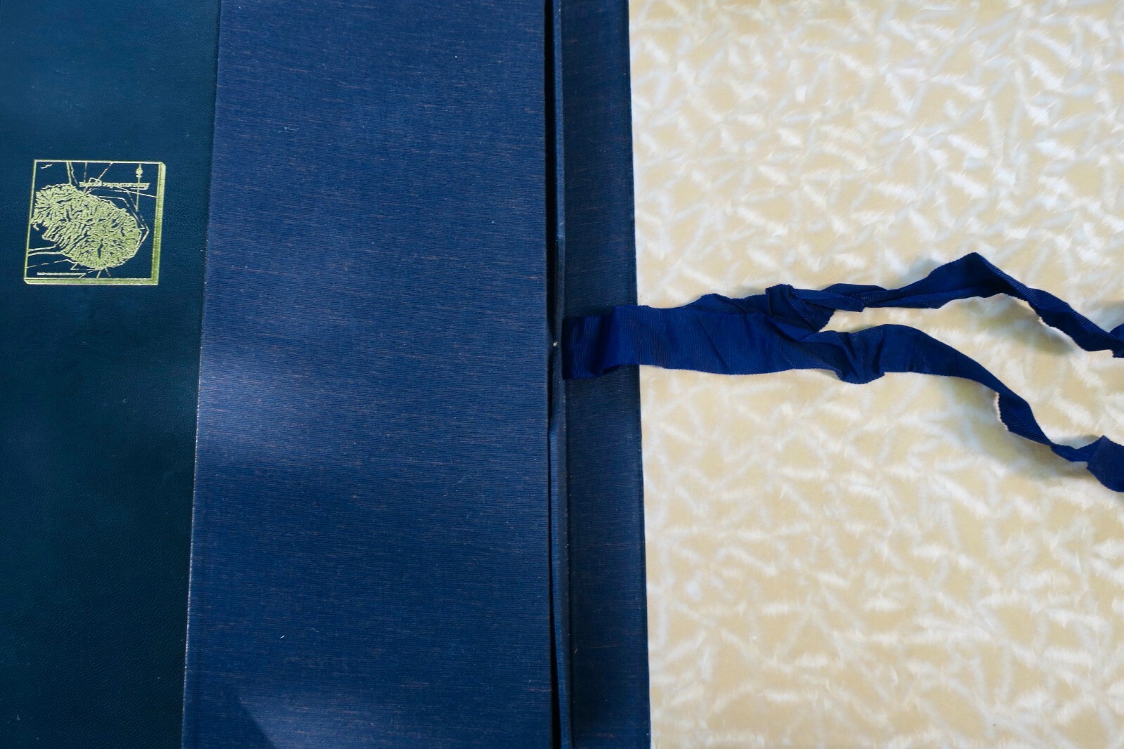
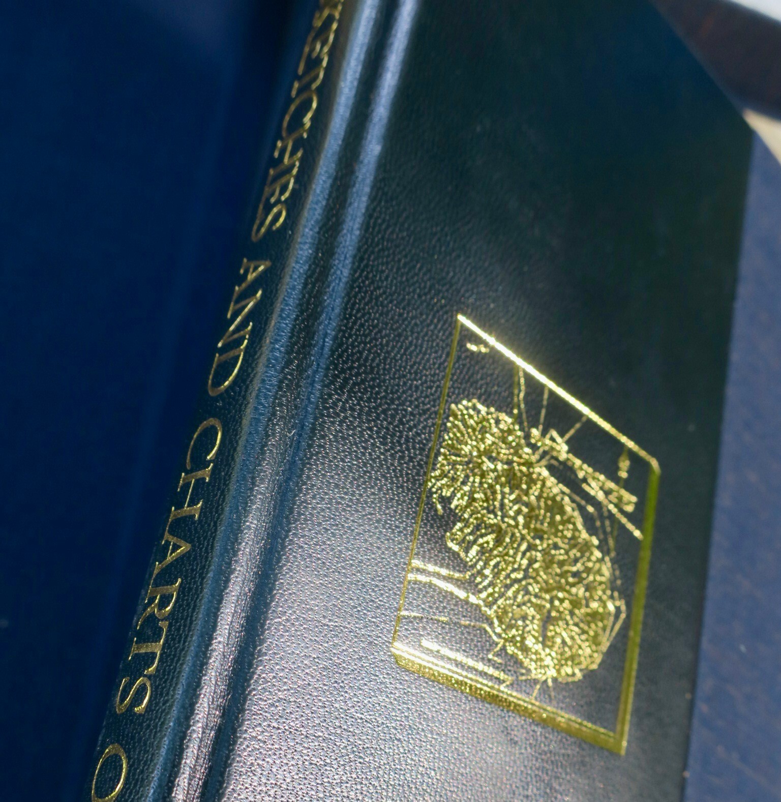
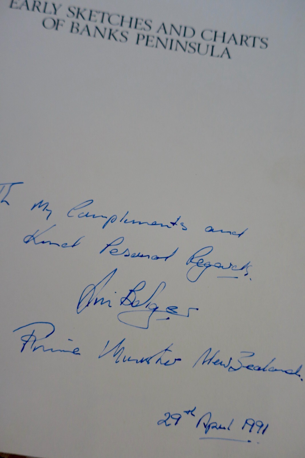
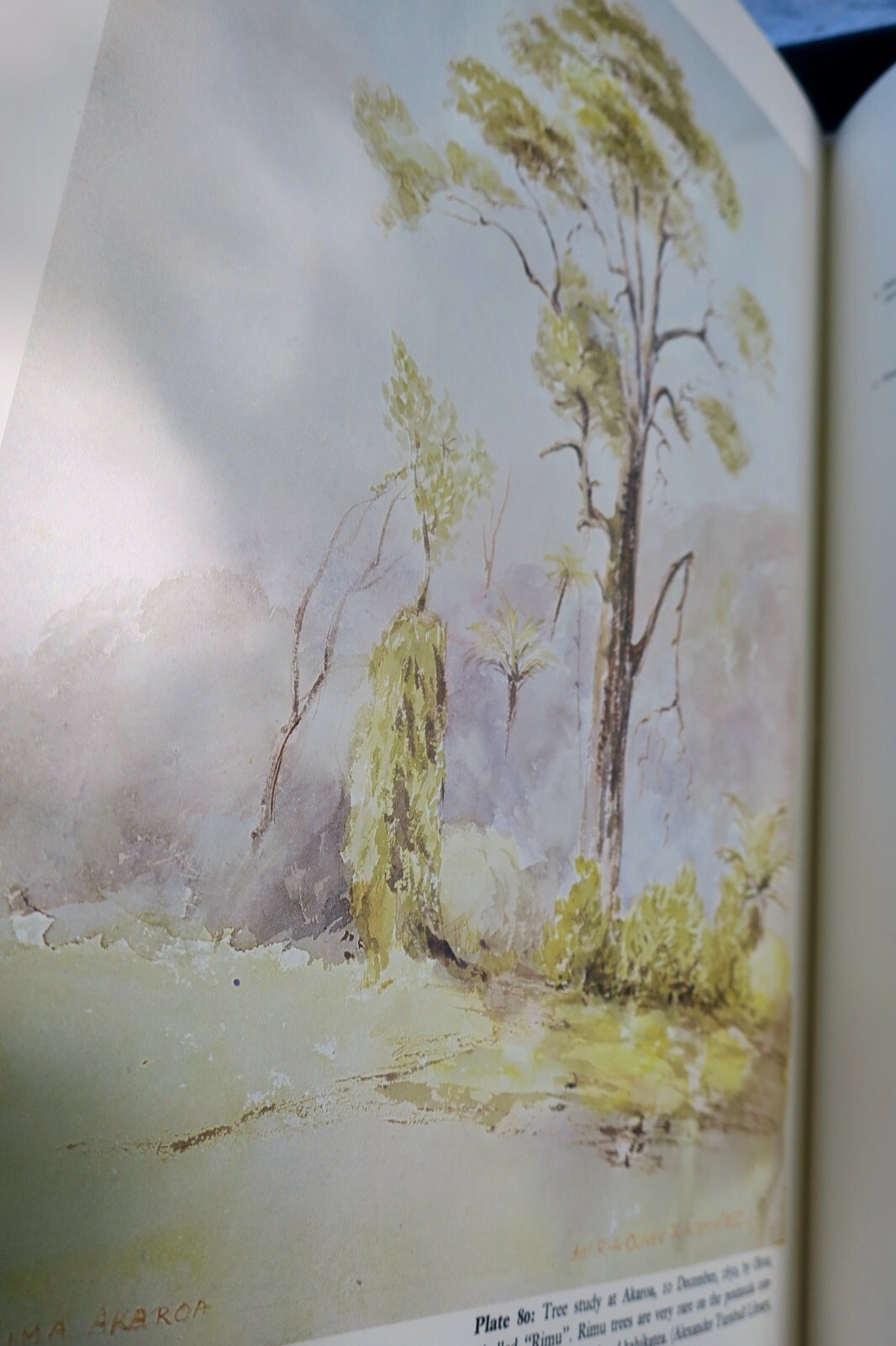
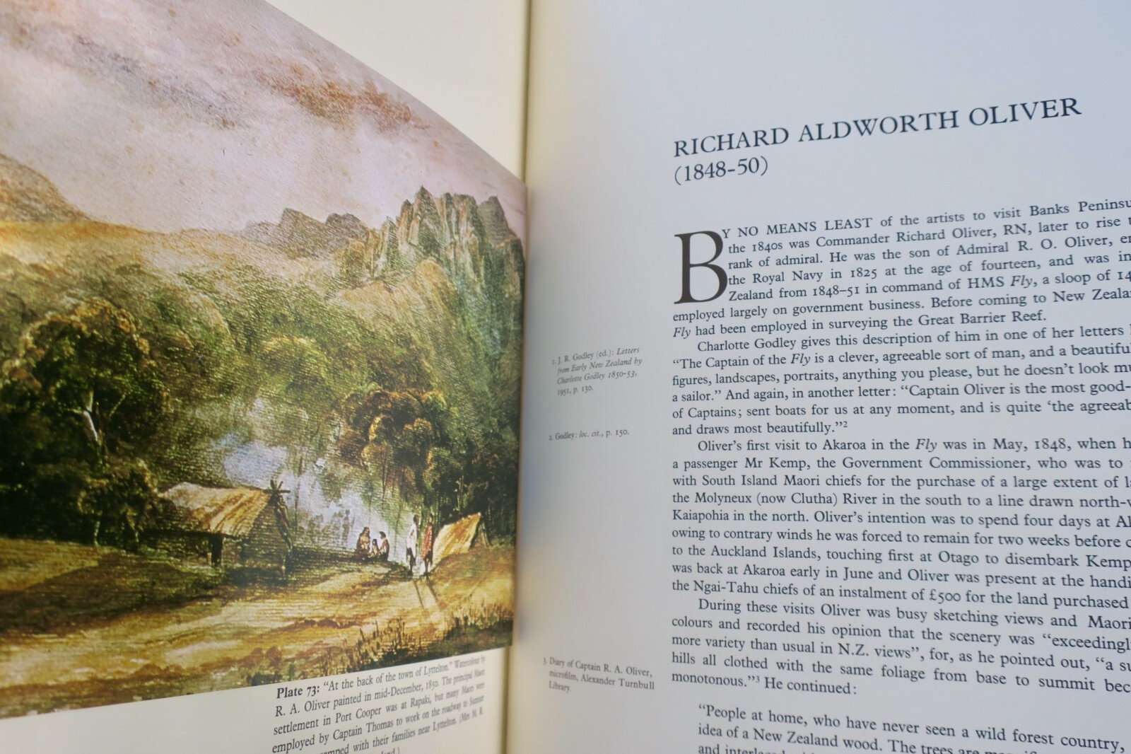
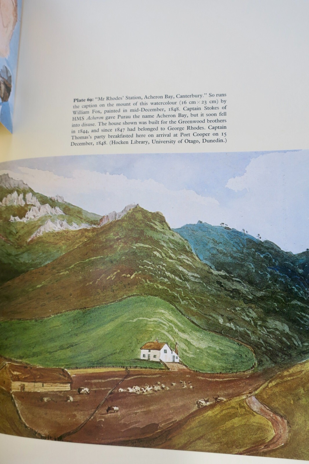
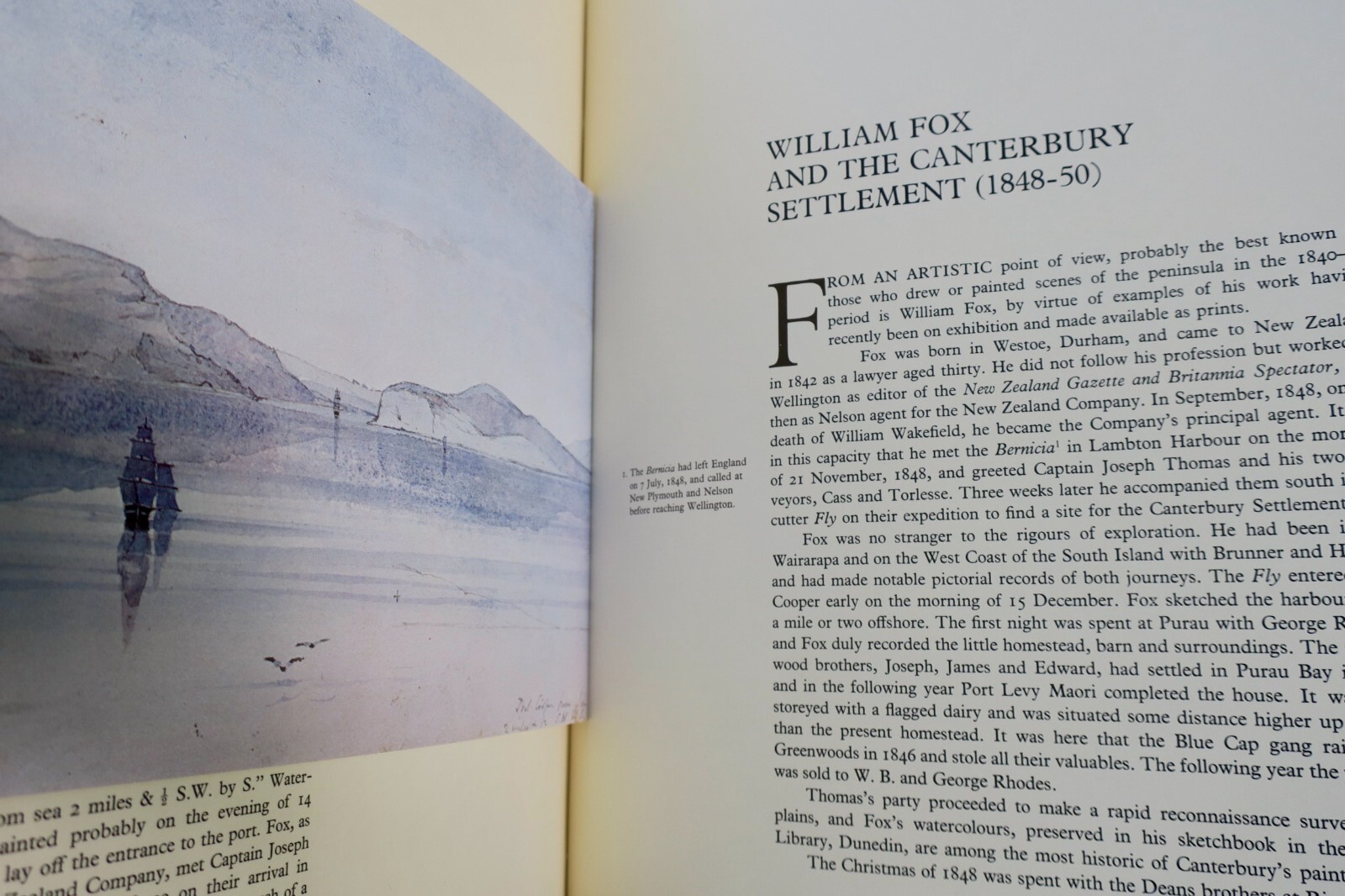
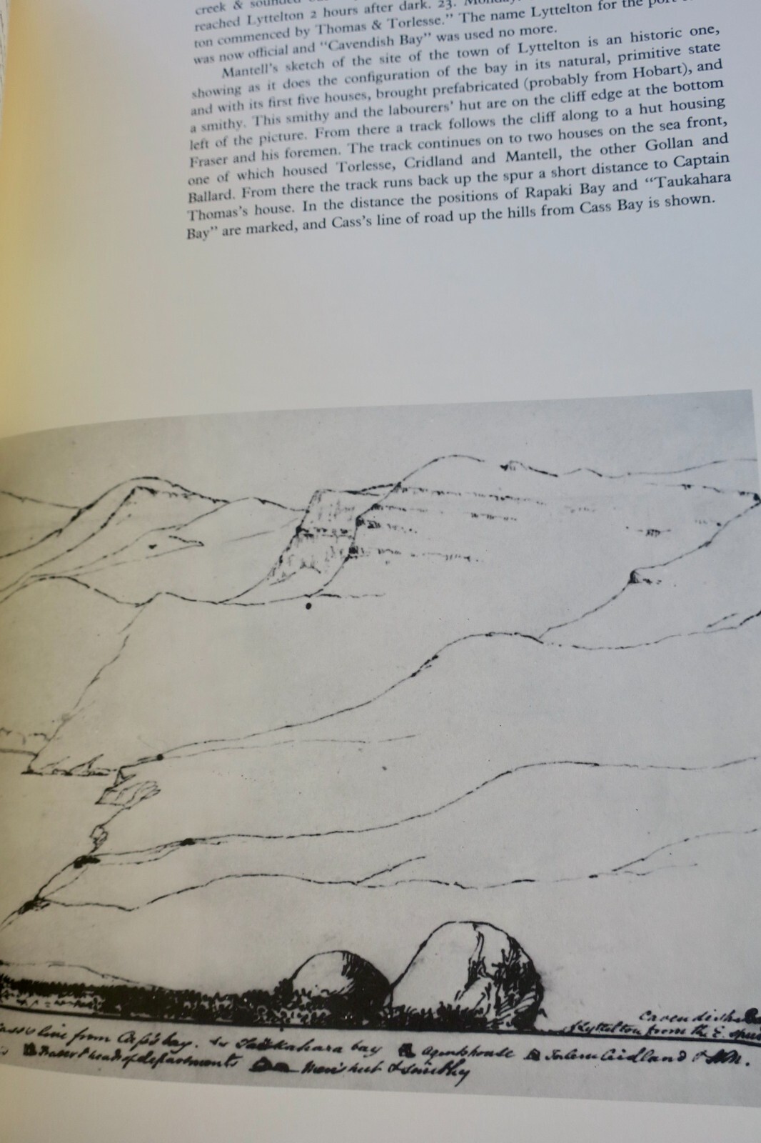
MALING, Peter Bromley. Early Sketches and Charts of Banks Peninsula 1770-1850. Wellington: A.H. & A.W. Reed, 1981. First New Zealand Edition. 103 pp. with numerous maps, charts and drawings, 82 plates including 27 hand-colored plates tipped-in. Hardcover folio in original blue cloth boards with leather spine, housed in blue boxed case. Page dimensions: 390 x 271mm. Limited deluxe edition, copy…
Read full description ↓This copy has been sold. Books you may also like:
LA LIBRAIRIE ANTIQUE
Independent bookshop since 1995, Paris
Worldwide shipping · SLAM membership pending[*]
[*] Membership of the Syndicate of Antiquarian and Modern Booksellers in progress.
Tell us what is not working, we fix things quickly. The page you are on is attached automatically.