7 783,15€
Sous-total : 7 783,15€





















































Sous-total : 7 783,15€


Sous-total : 7 783,15€
275,00€
In stock
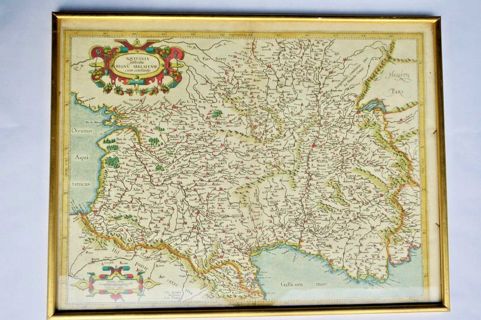
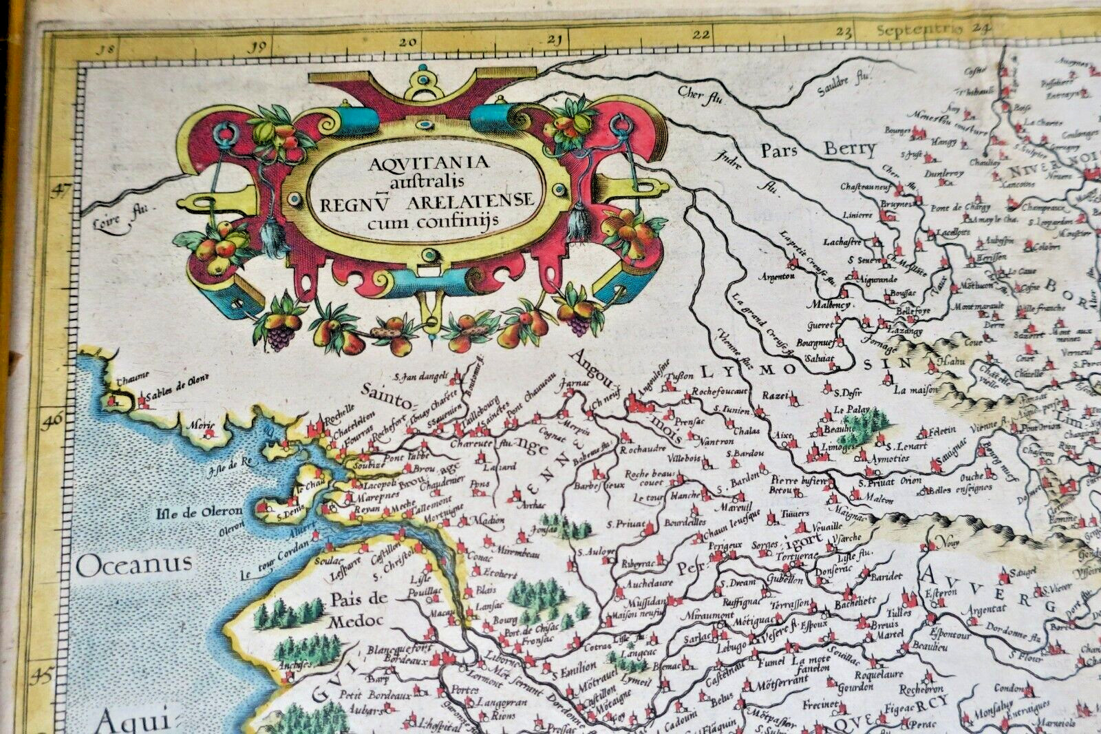
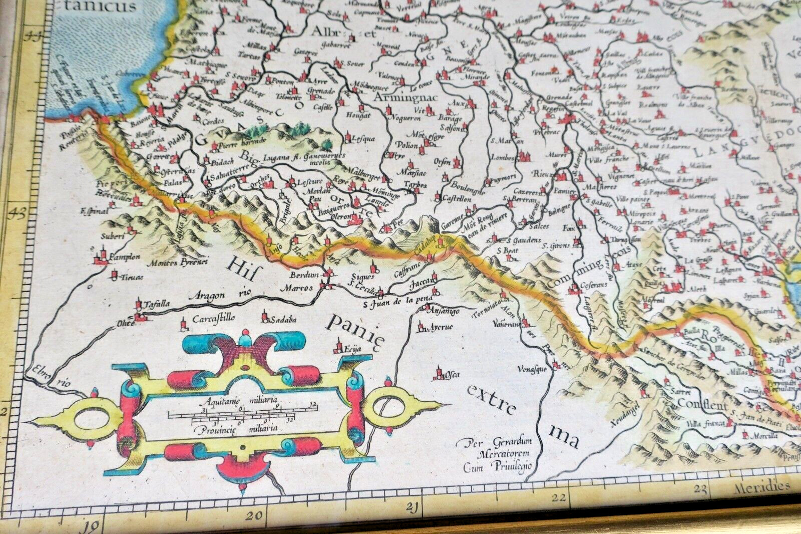
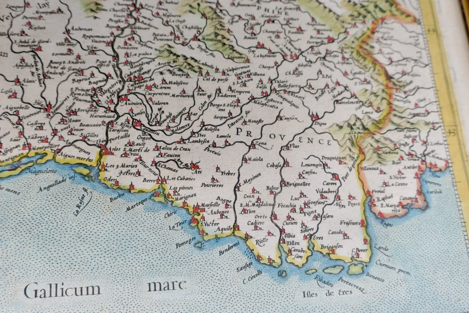
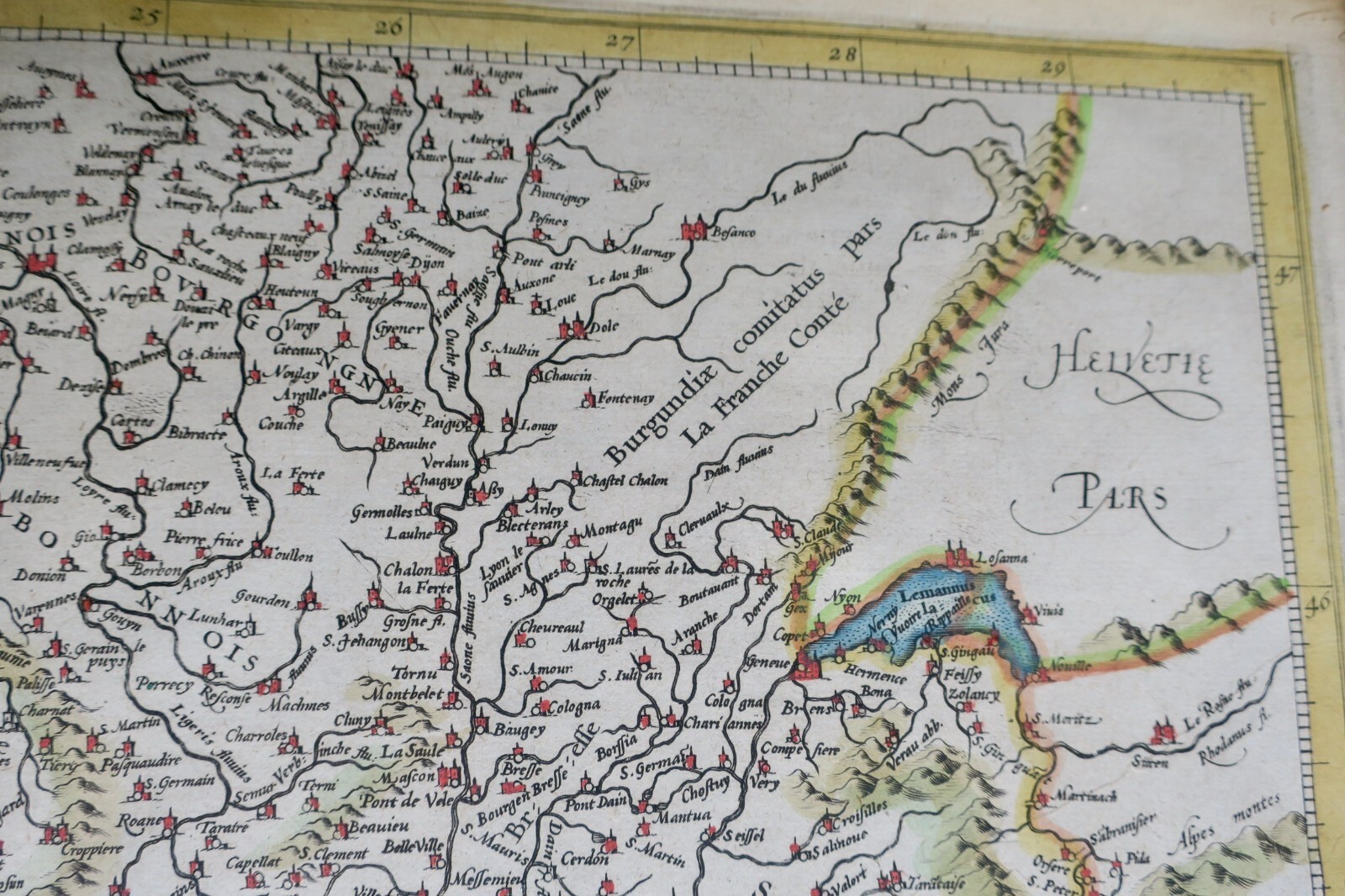
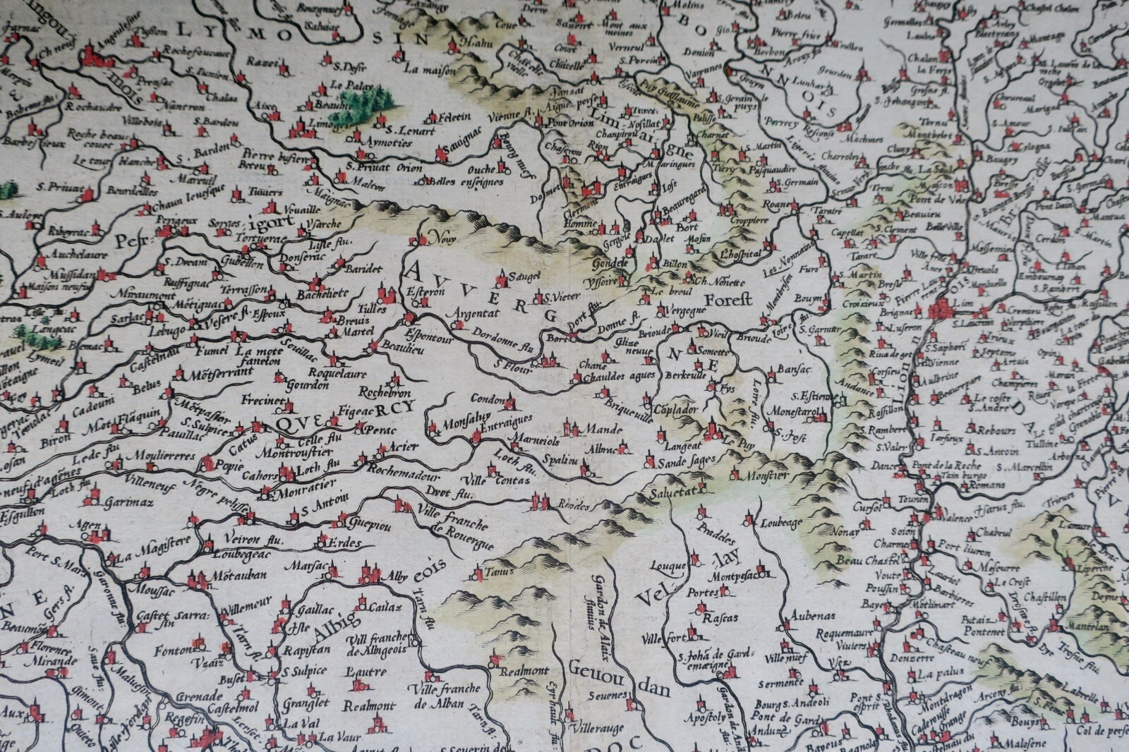
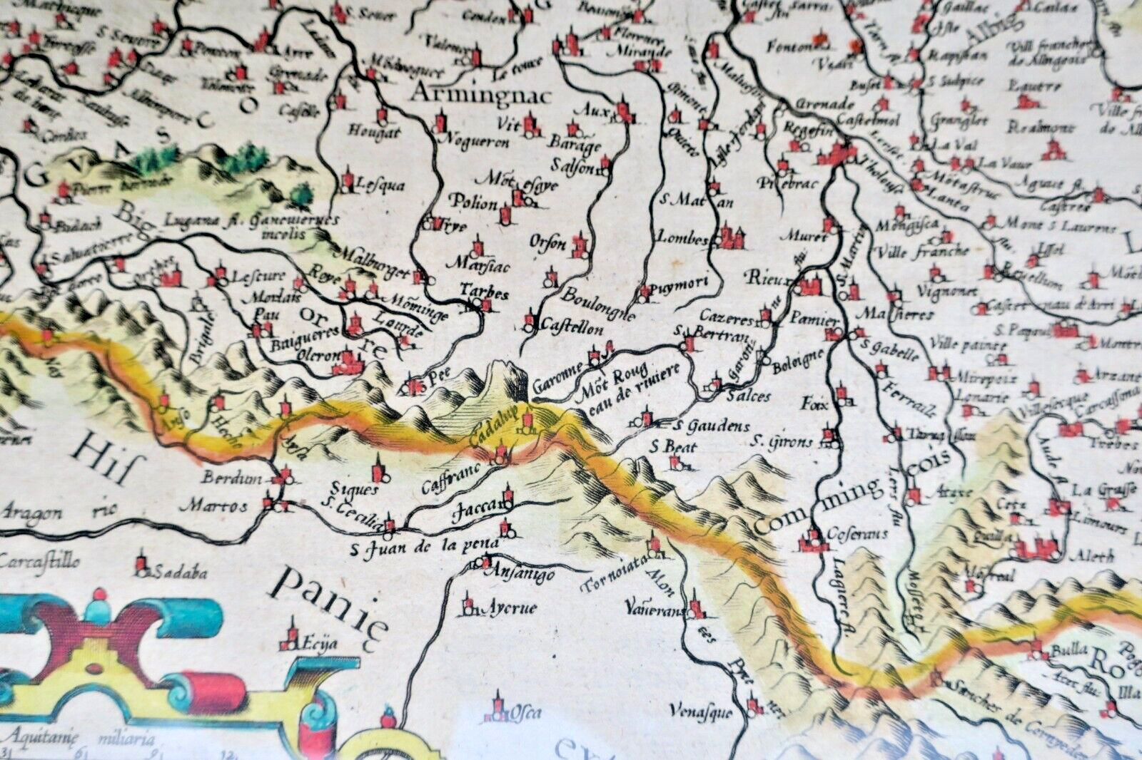
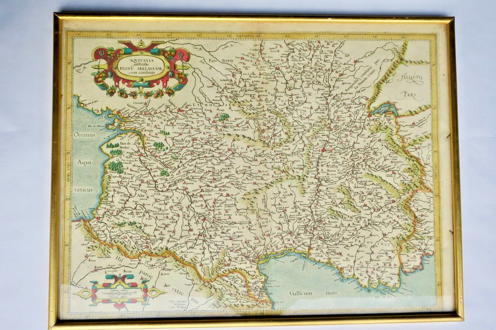
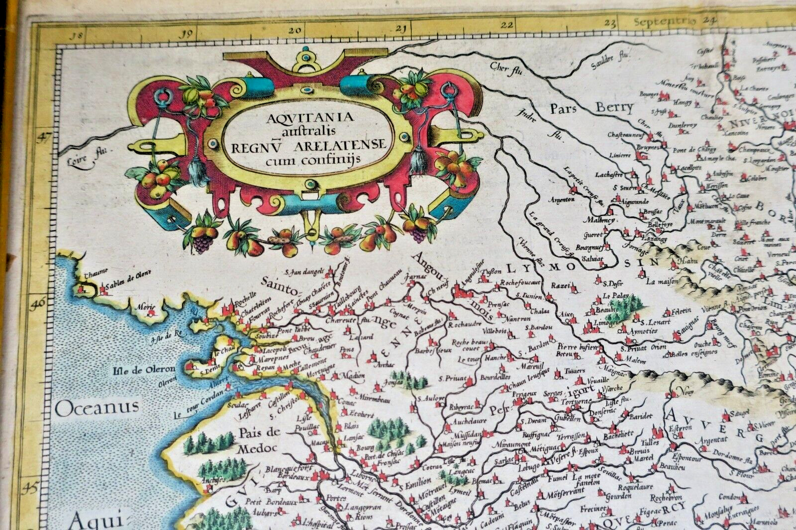
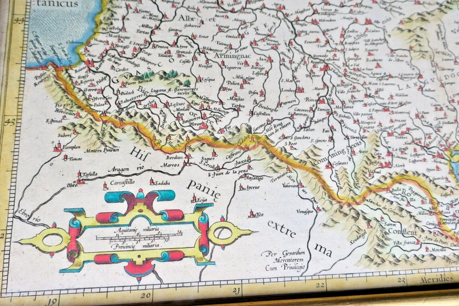
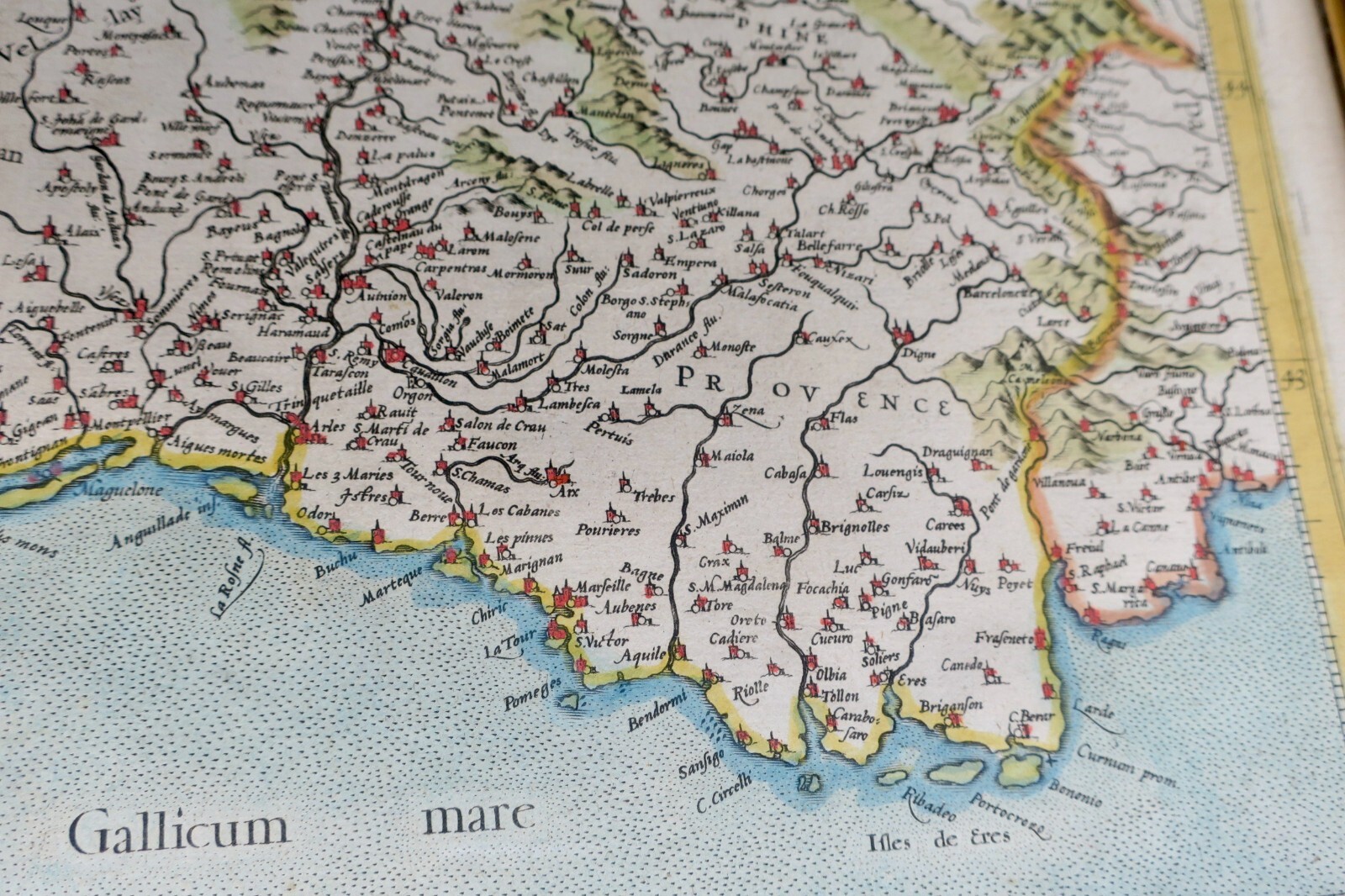
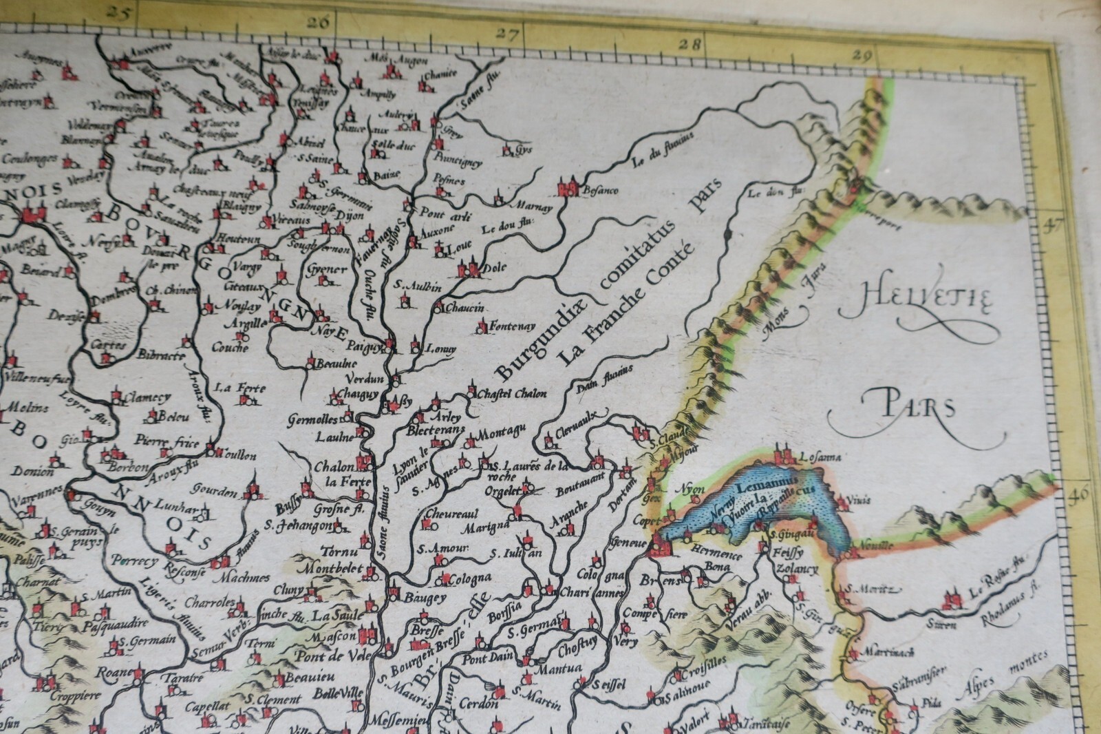
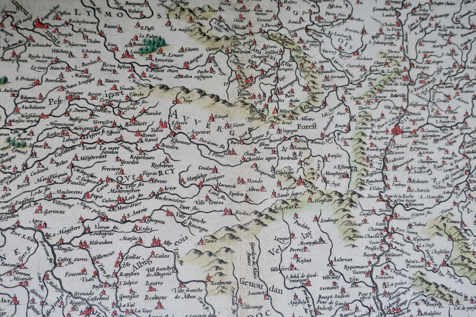
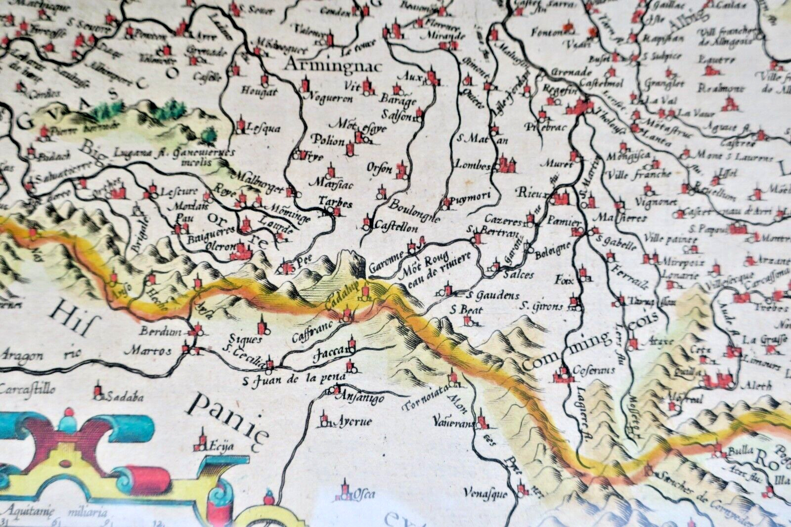
A rare colored map of southern France by Gerard Mercator and Hendrik Hondius, circa 1610. Amsterdam edition. Engraved map under glass, 50x38.5 cm, with legends, mountain relief, two cartouches, and Latin text. Depicts the region from Auxerre in the northeast to Monaco and northern Spain in the southwest, including the Sables d'Olonne in the northwest.
LA LIBRAIRIE ANTIQUE
Librairie indépendante depuis 1995, Paris
Expédition mondiale · Membre en cours d'adhésion SLAM[*]
[*] Adhésion au Syndicat de la Librairie Ancienne et Moderne en préparation.
Select at least 2 products
to compare