0
0,00€
An empty cart
You have no item in your shopping cart

85,00€
In stock
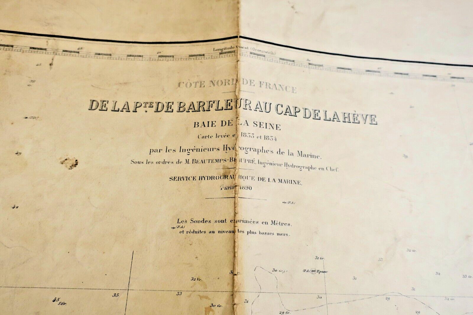
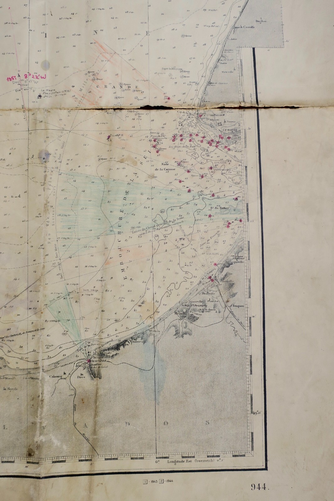
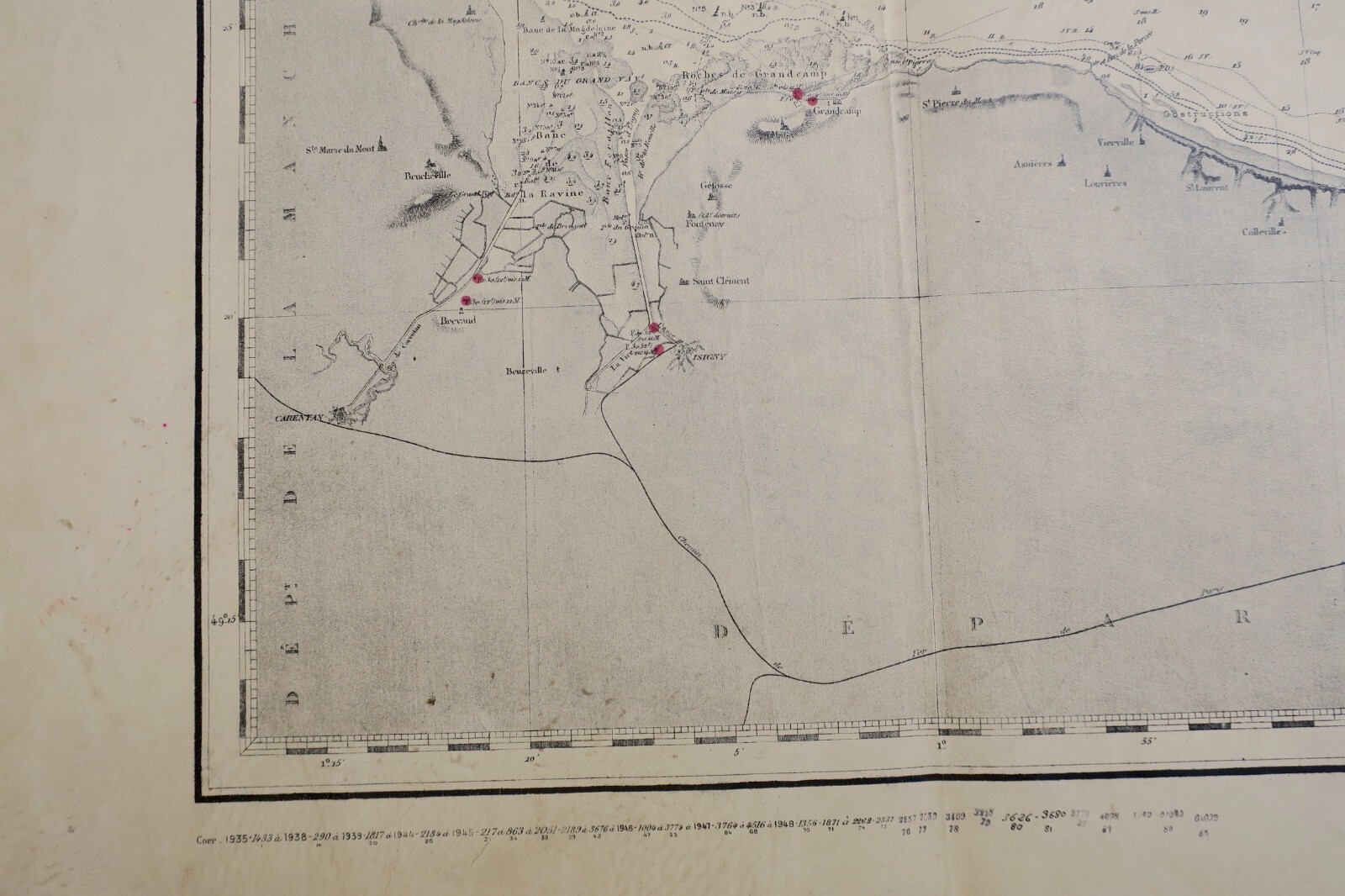
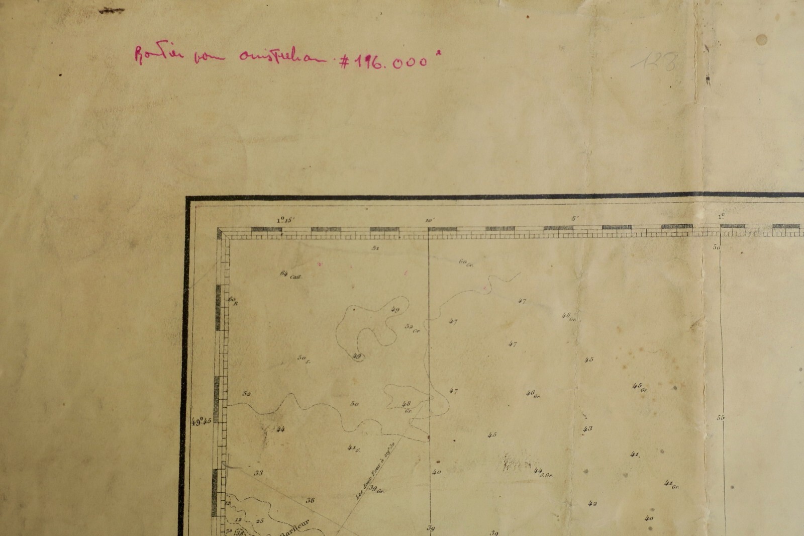
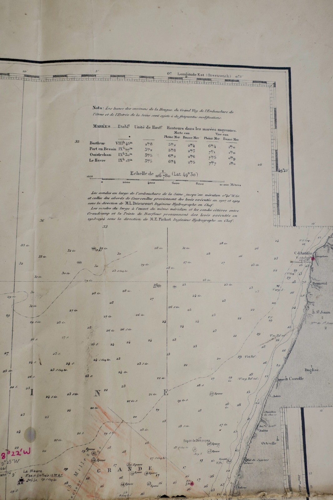
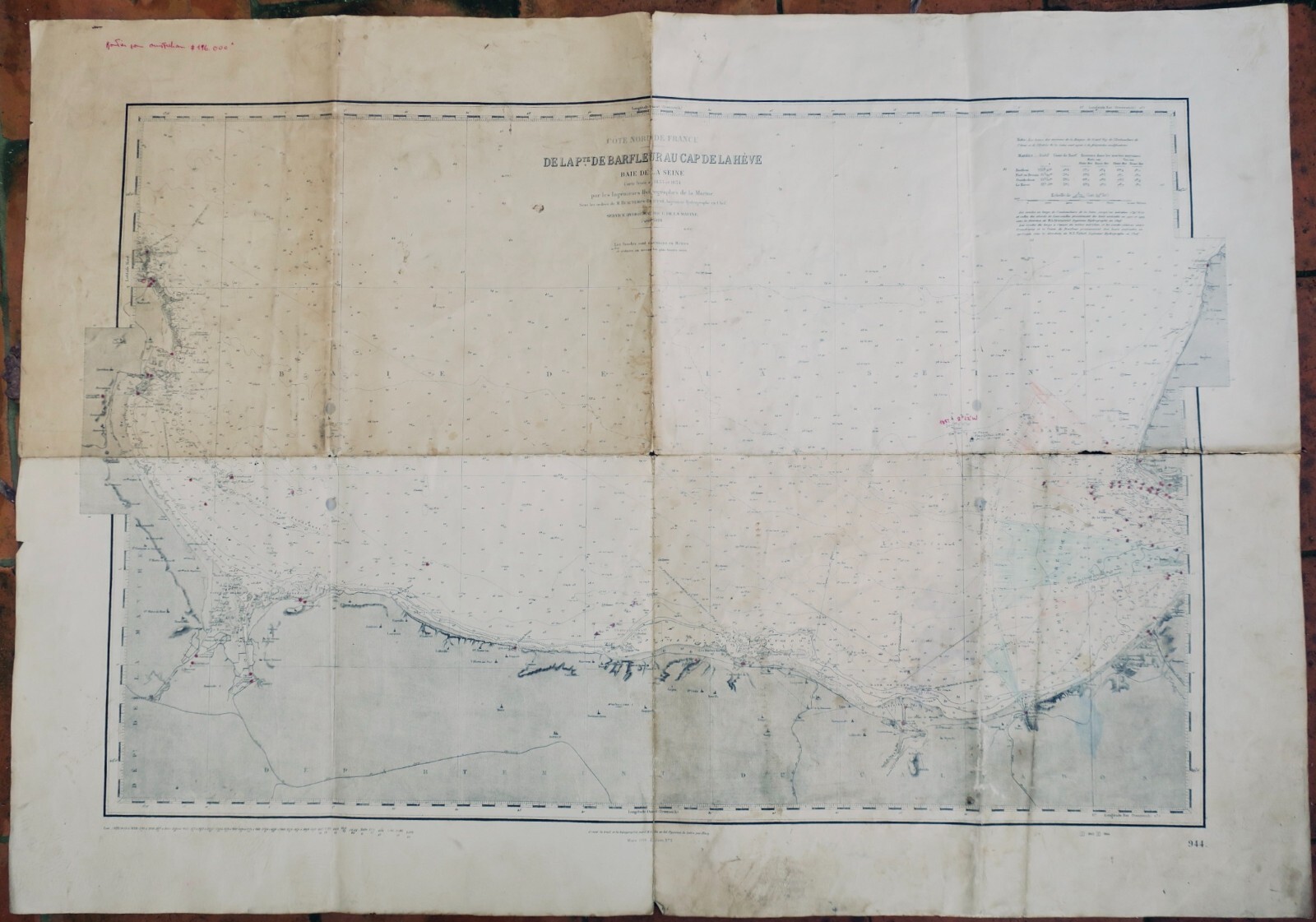
On heavy paper, 106 x 75 cm. Long tears at the creases of the map (requires restoration), map created in 1833 & 1834, hydrographic service of the navy Printed around 1935, in Paris.
LA LIBRAIRIE ANTIQUE
Independent bookshop since 1995, Paris
Worldwide shipping · SLAM membership pending[*]
[*] Membership of the Syndicate of Antiquarian and Modern Booksellers in progress.