Taride Geographic Maps: 33 Canvas Sheets in Original Cabinet
Sold
Taride Geographic Maps: 33 Canvas Sheets in Original Cabinet
Original title :Geography Taride 33 Maps In Their Display Case
VENDU
About this book
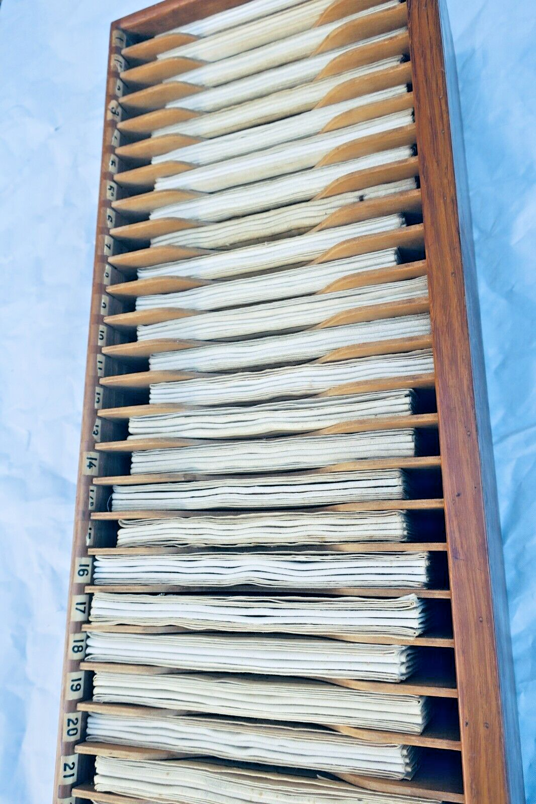
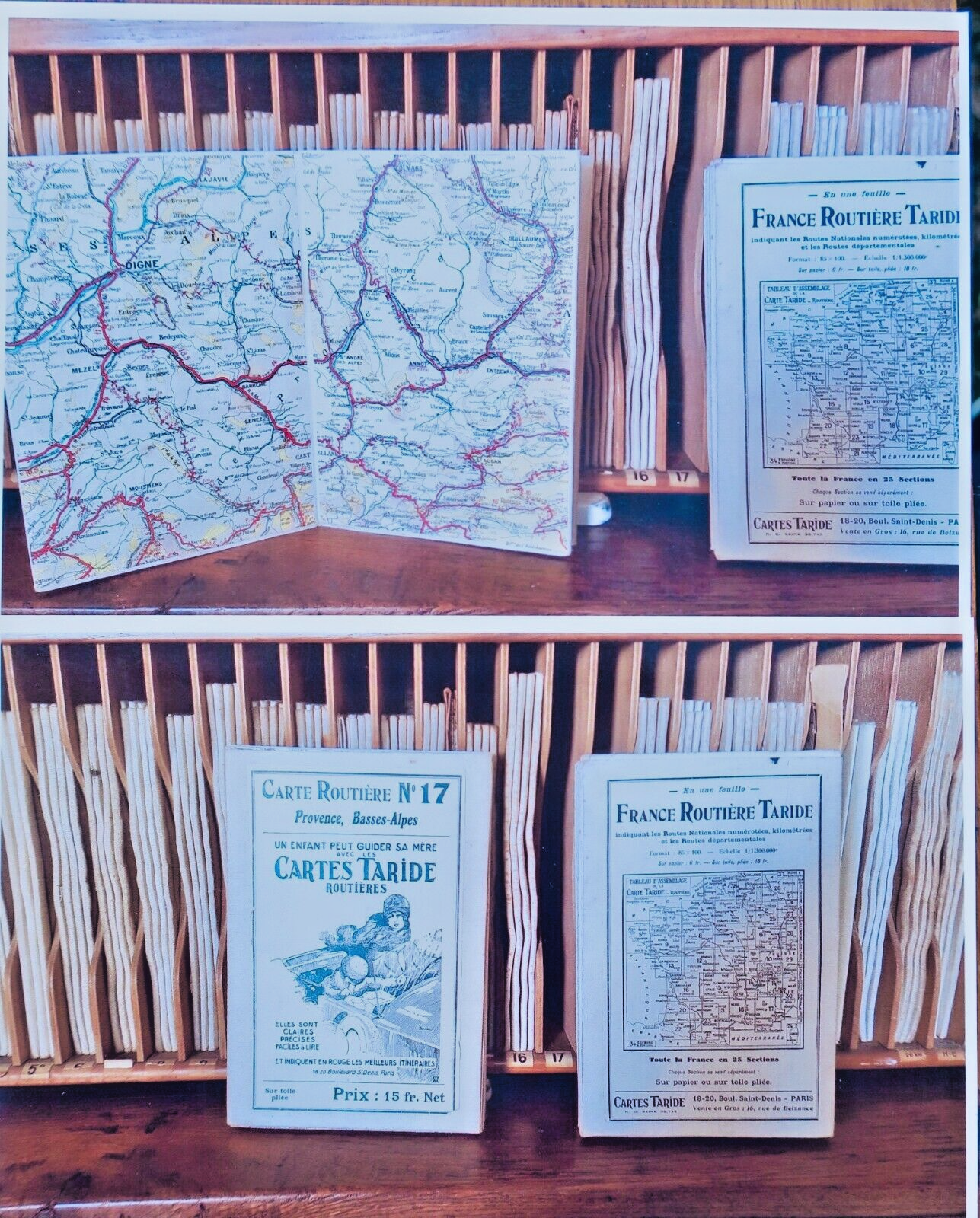
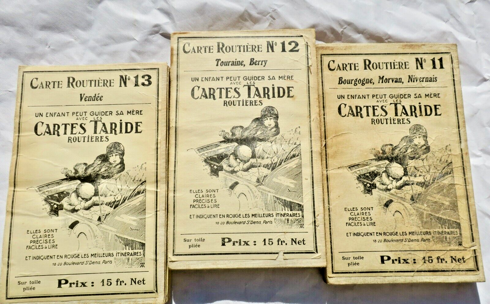
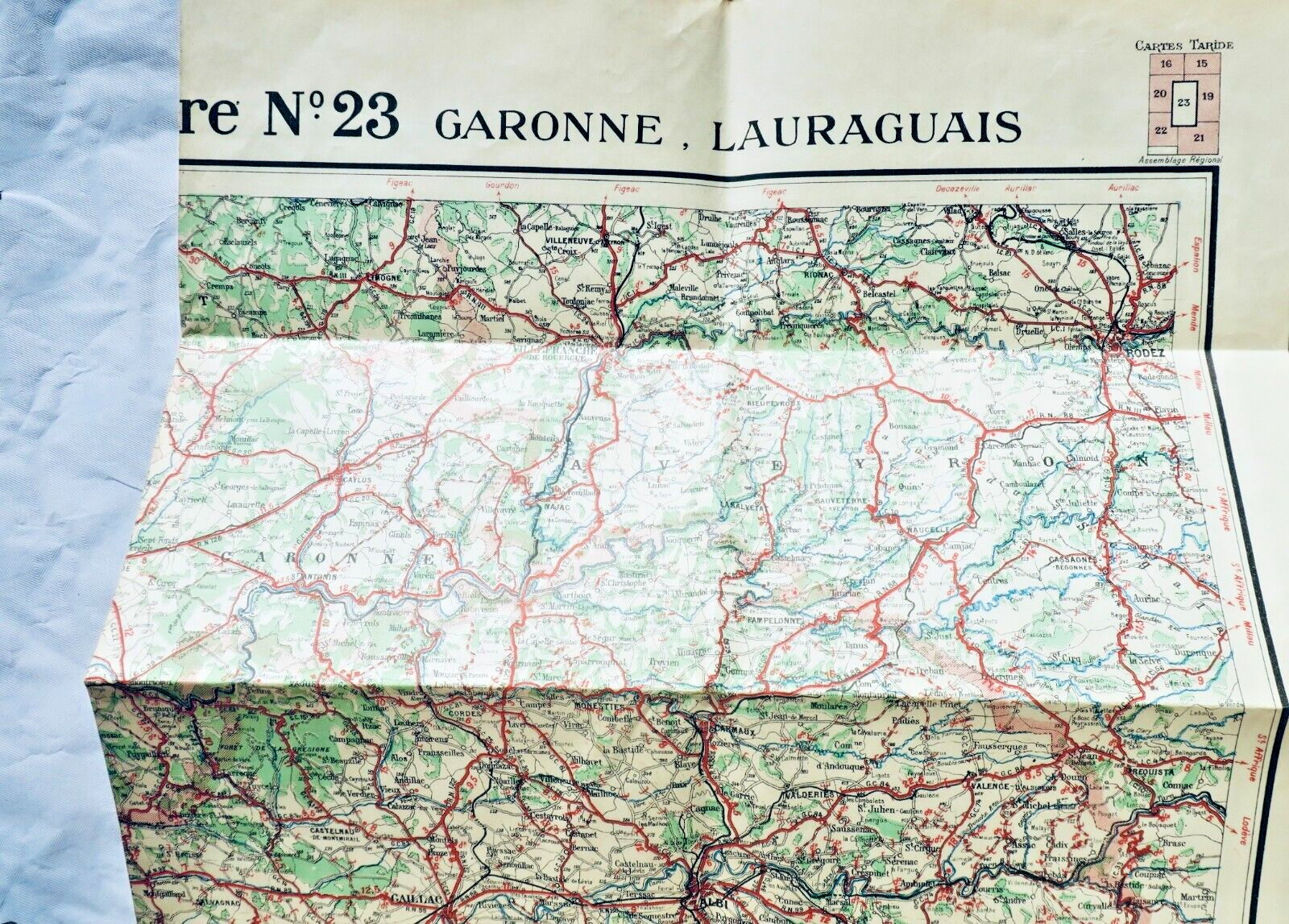
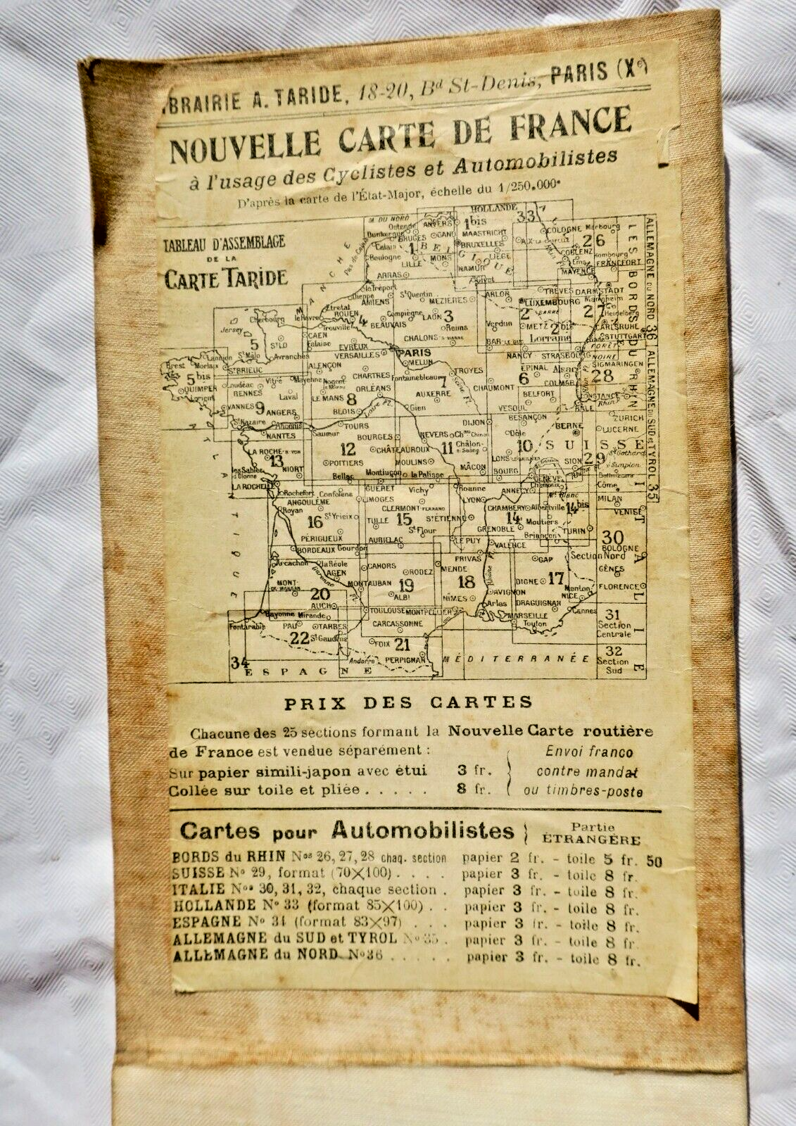
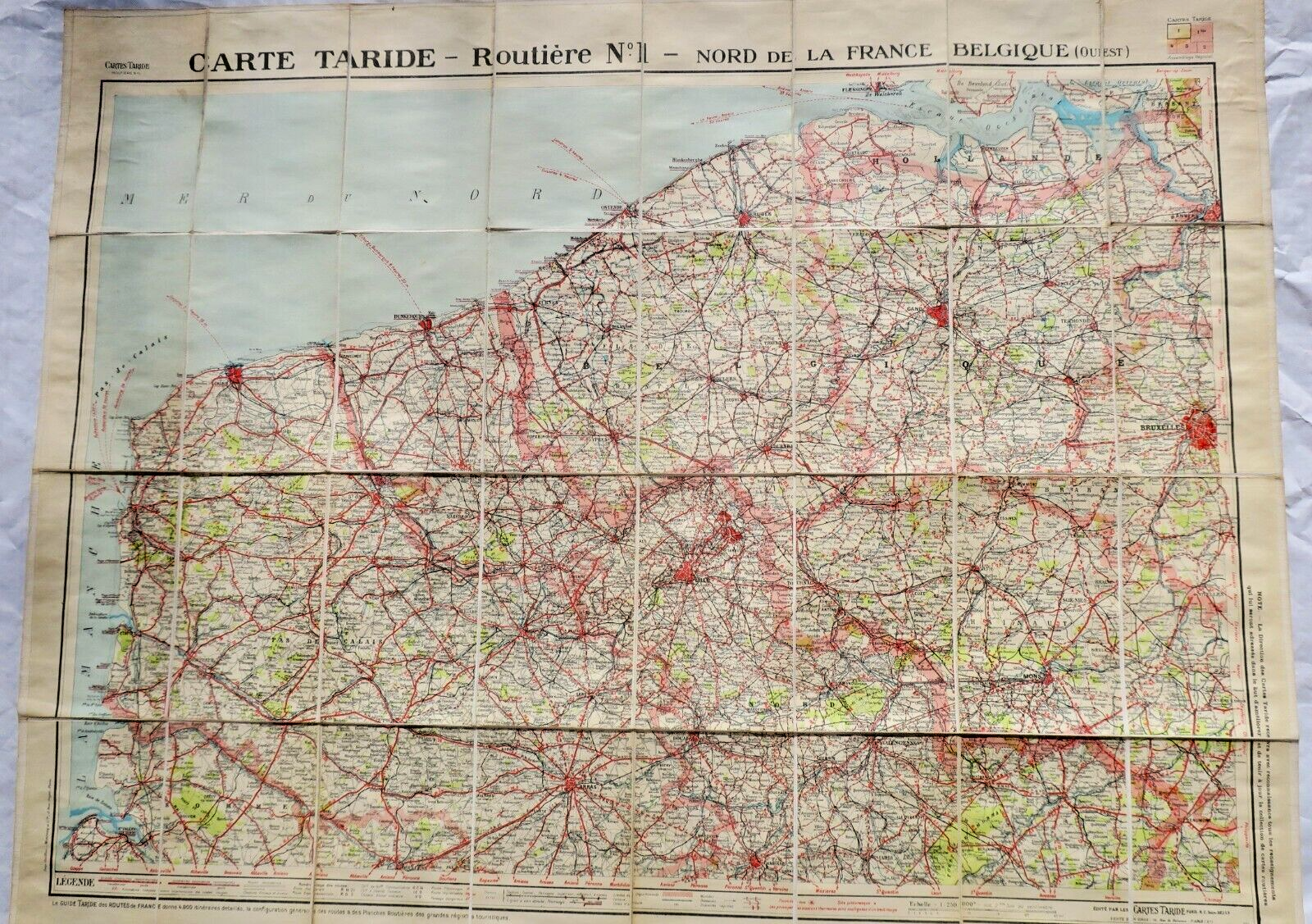
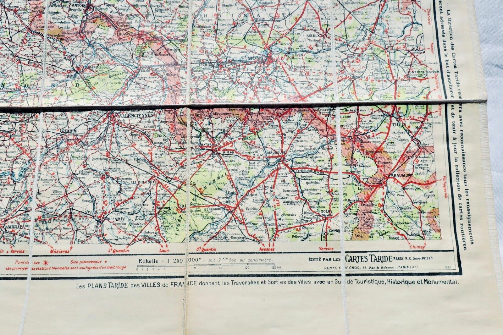
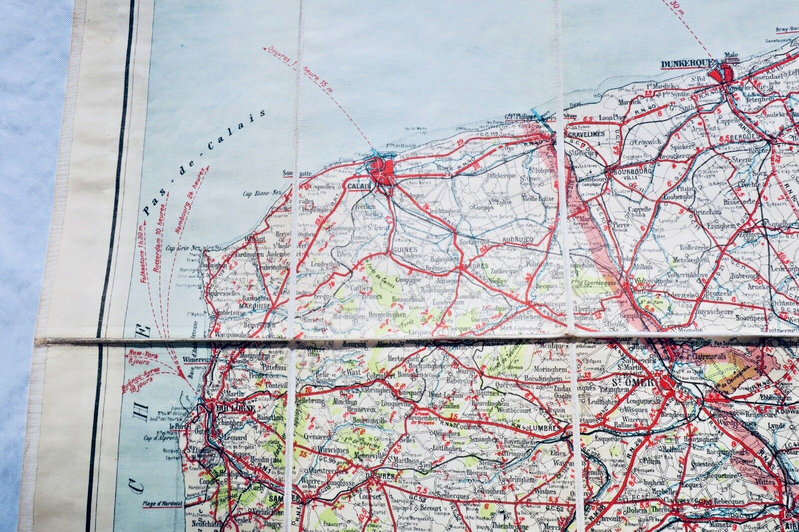
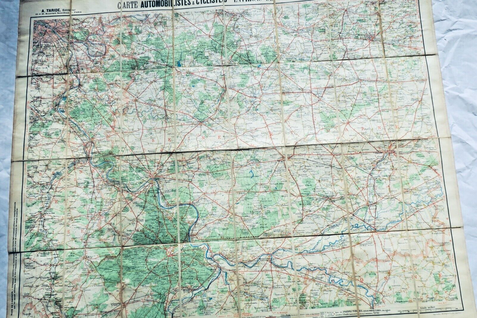
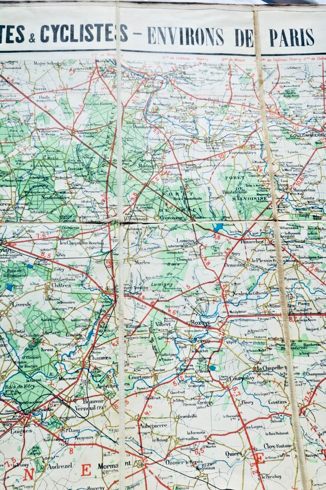
Complete set of 33 Taride geographical maps housed in original wooden display cabinet with 33 numbered compartments (75 x 14 x 25 cm). Each canvas map measures approximately 85 x 100 cm at scale 1:250,000, covering French regions and surrounding territories. Collection includes detailed maps of Northern France, Belgium, Brittany, Normandy, Paris vicinity, Burgundy, Provence, Languedoc, and Pyrenees, plus specialized…
Complete set of 33 Taride geographical maps housed in original wooden display cabinet with 33 numbered compartments (75 x 14 x 25 cm). Each canvas map measures approximately 85 x 100 cm at scale 1:250,000, covering French regions and surrounding territories. Collection includes detailed maps of Northern France, Belgium, Brittany, Normandy, Paris vicinity, Burgundy, Provence, Languedoc, and Pyrenees, plus specialized motor and cyclist route maps around Paris. Well preserved condition, undated circa 1920. Canvas and paper compositions. Each section represents approximately 30,000 square kilometers.
❦
LA LIBRAIRIE ANTIQUE
Independent bookshop since 1995, Paris
Worldwide shipping · SLAM membership pending[*]
[*] Membership of the Syndicate of Antiquarian and Modern Booksellers in progress.