0
0,00€
An empty cart
You have no item in your shopping cart


306,00€
❦One copy only
As with every antiquarian book, this is the only copy we hold. Once sold, it will not be restocked.
Guaranteed authentic
Every book is examined and described individually by us. Professional booksellers since 1995.
In stock
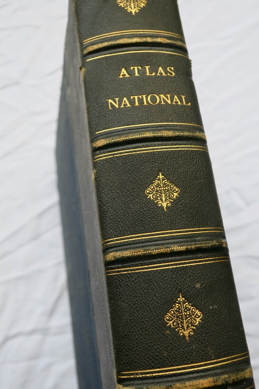
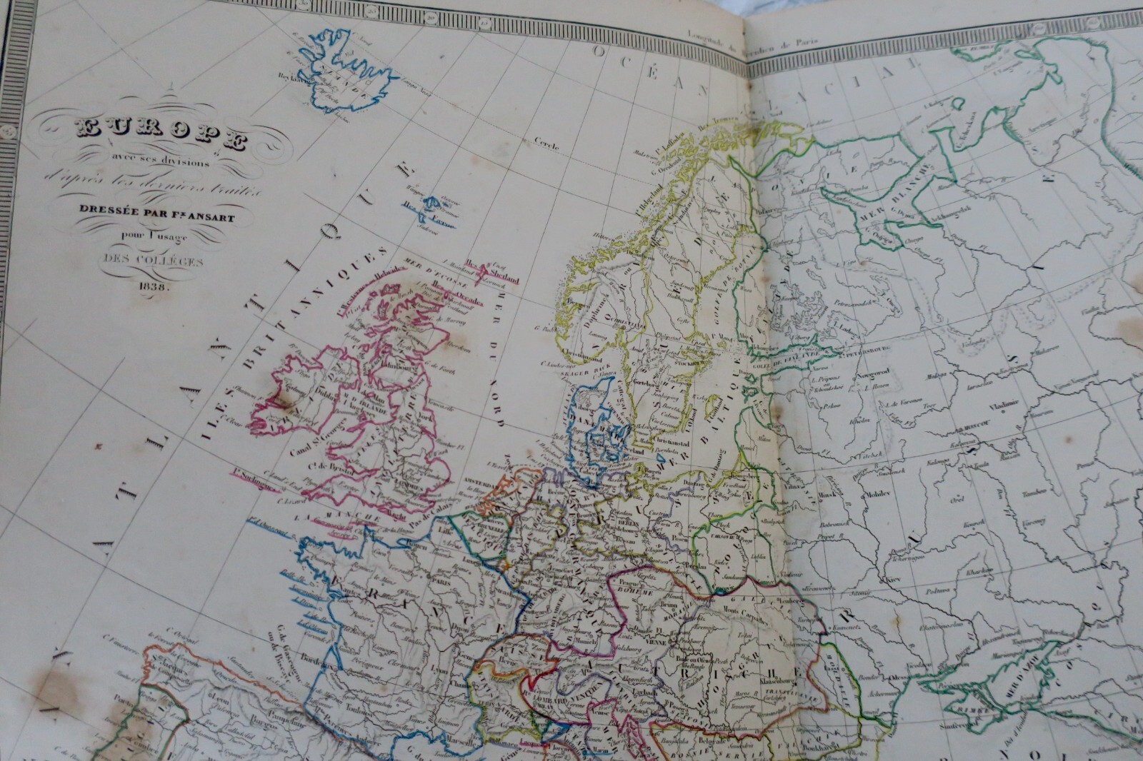
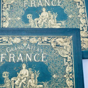
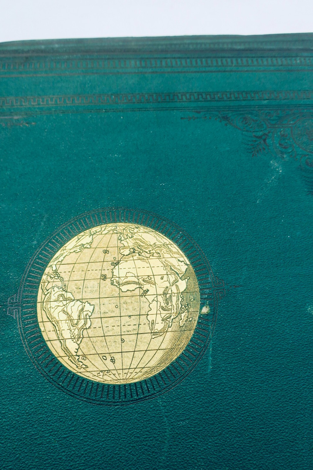
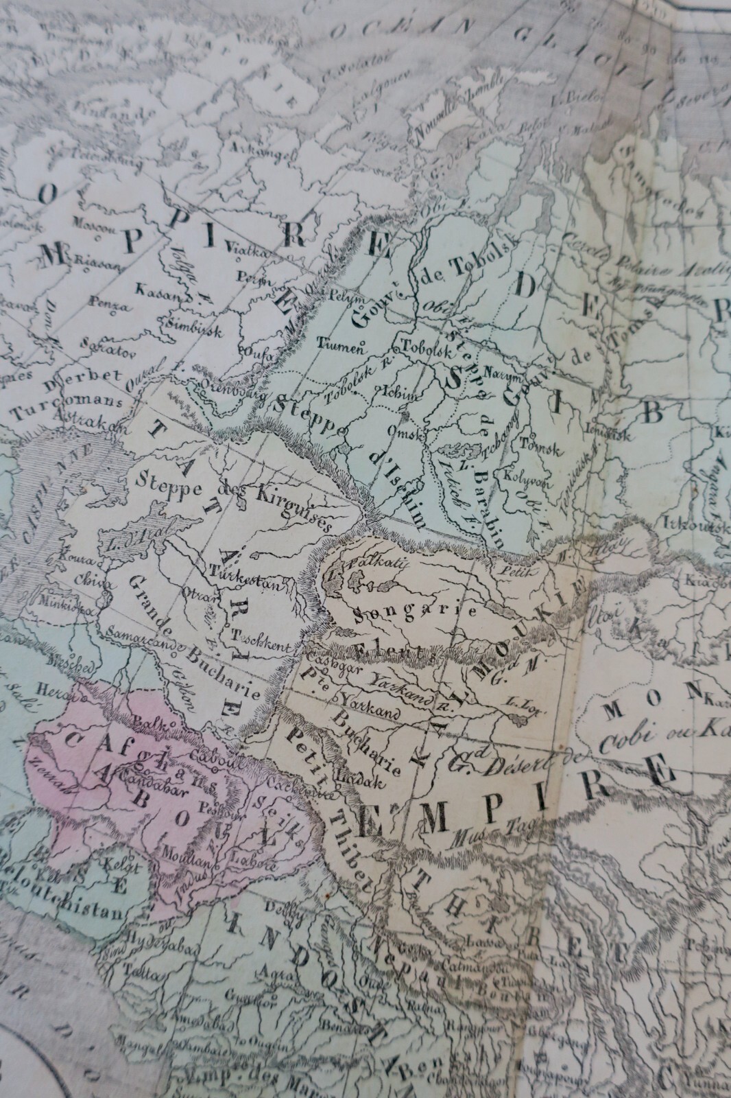
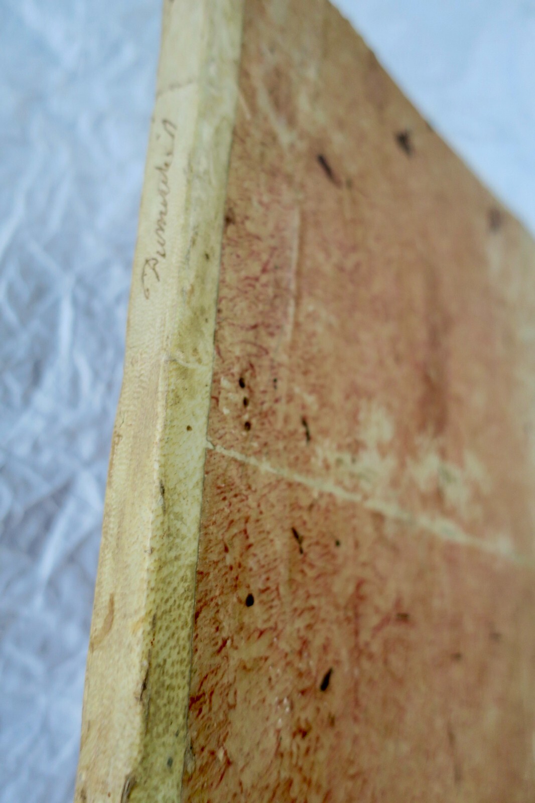
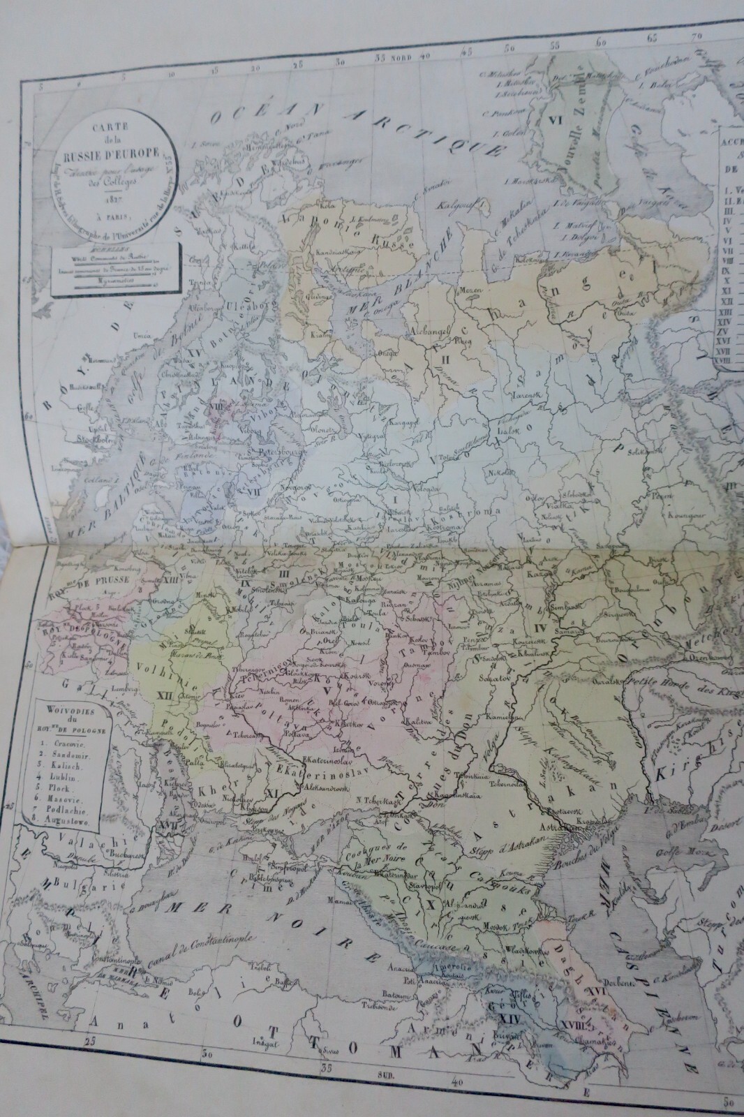
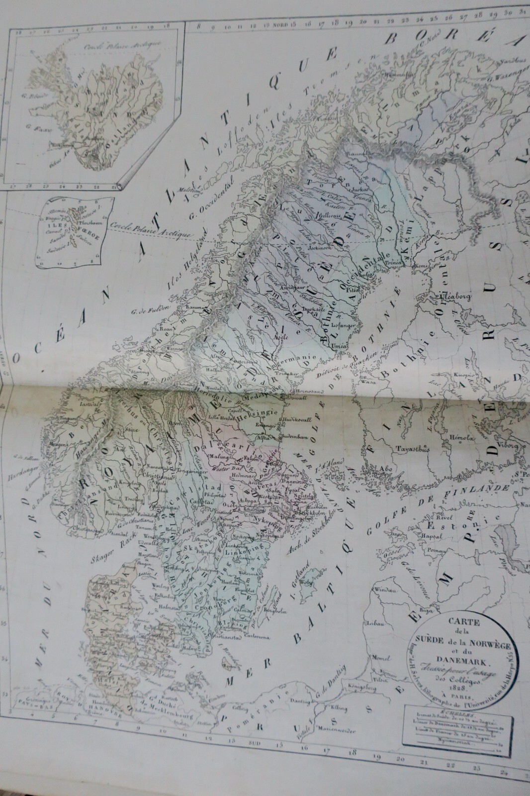
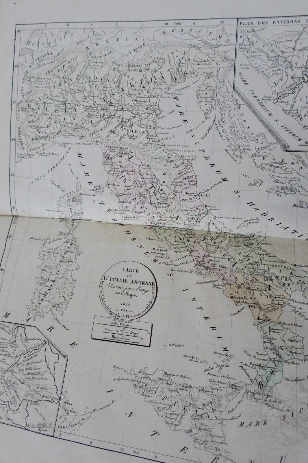
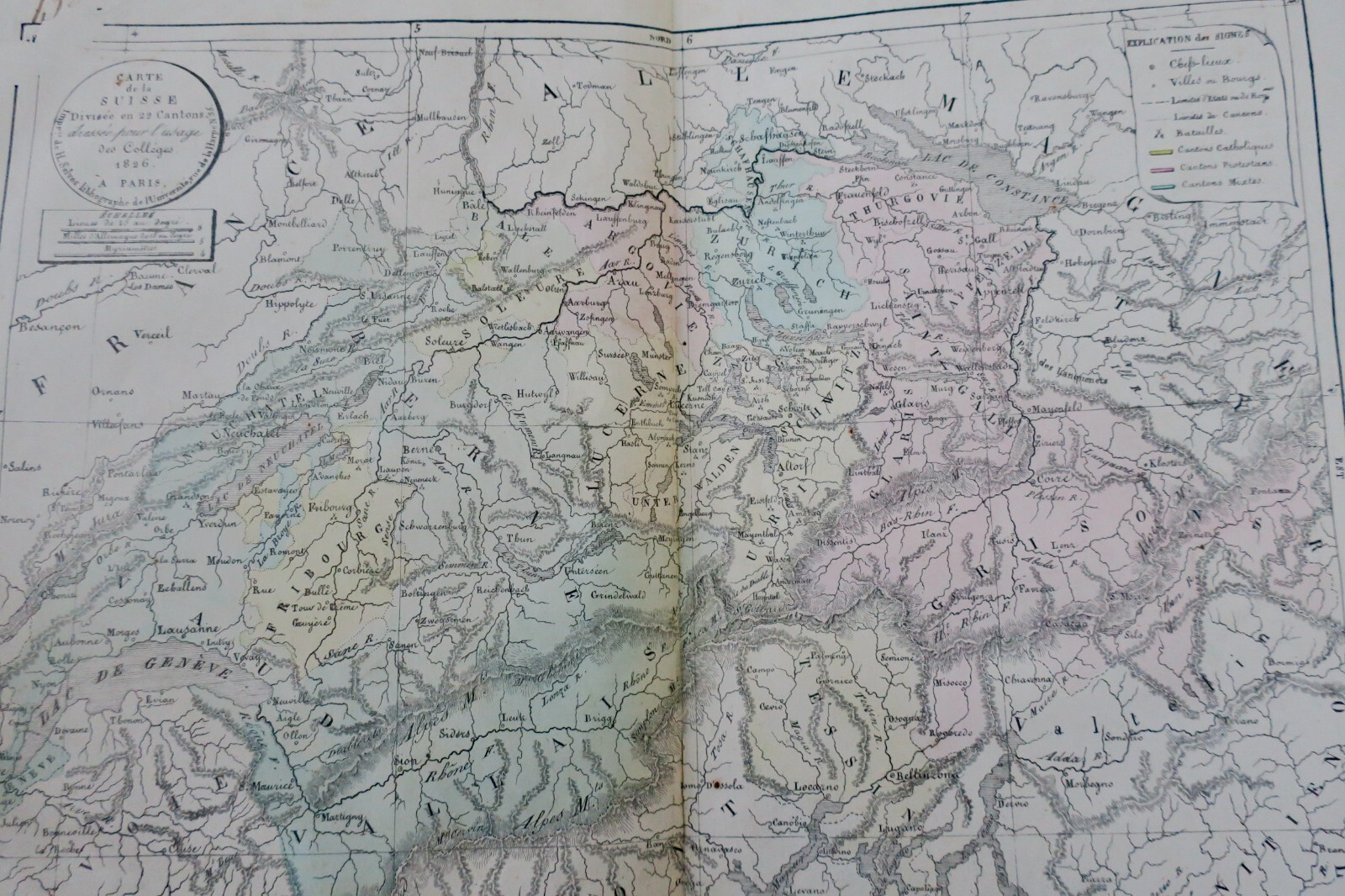
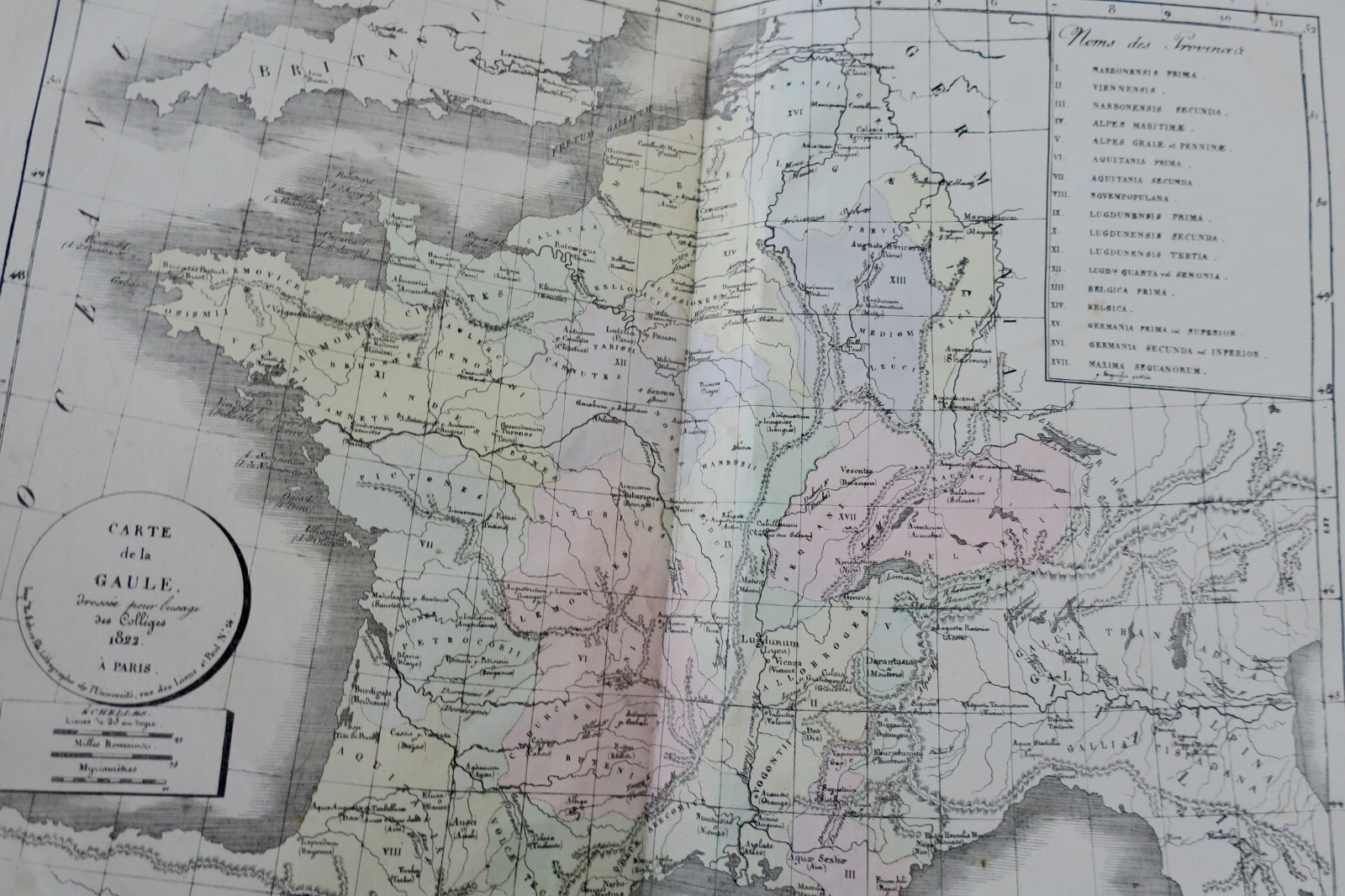
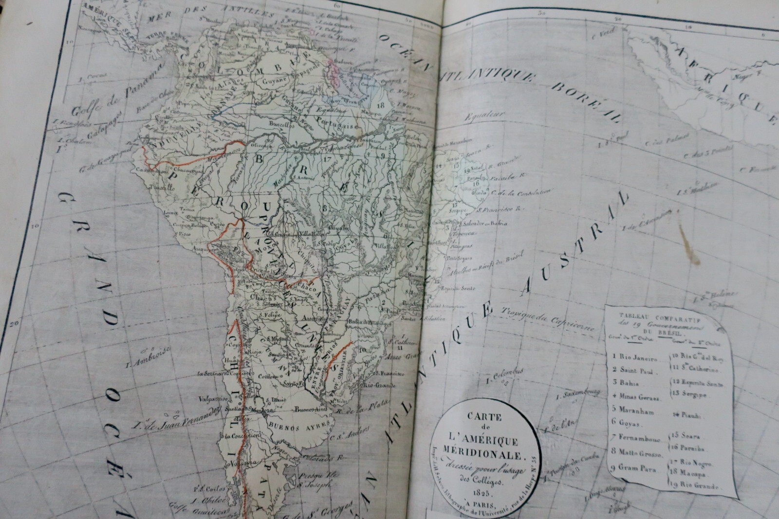
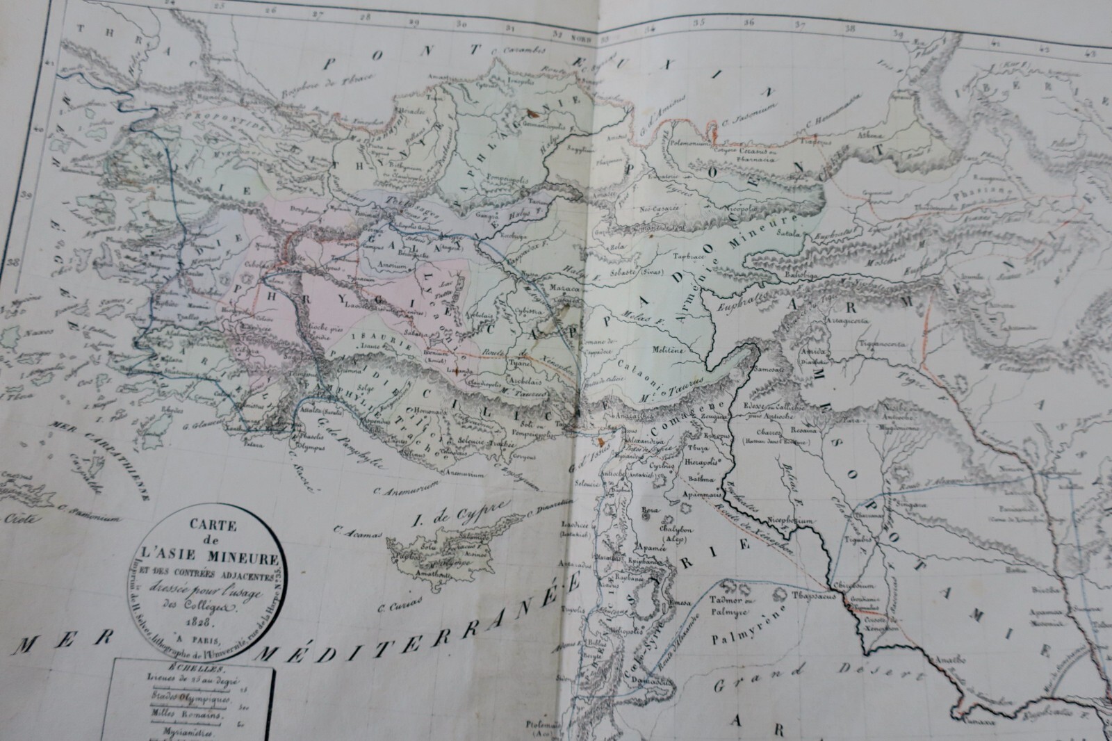
This 1826 geographical atlas, compiled under the direction of the Royal Council, stands as a historical testament to the cartographic knowledge of its time. Produced in an in-folio format, it gathers detailed maps of continents, kingdoms, and world regions, reflecting the explorations and geopolitical boundaries of the era. Printed with care for 19th-century publication, the work features a contemporary half-sheepskin…
Read full description ↓This 1826 geographical atlas, compiled under the direction of the Royal Council, stands as a historical testament to the cartographic knowledge of its time. Produced in an in-folio format, it gathers detailed maps of continents, kingdoms, and world regions, reflecting the explorations and geopolitical boundaries of the era. Printed with care for 19th-century publication, the work features a contemporary half-sheepskin binding with leather corners, marbled edges, and marbled endpapers. Its overall condition remains good, despite minor rubbing and slight wear to the headbands, making it a desirable piece for collectors of antique maps and cartographic history.
LA LIBRAIRIE ANTIQUE
Independent bookshop since 1995, Paris
Worldwide shipping · SLAM membership pending[*]
[*] Membership of the Syndicate of Antiquarian and Modern Booksellers in progress.
Tell us what is not working, we fix things quickly. The page you are on is attached automatically.