0
0,00€
An empty cart
You have no item in your shopping cart


VENDU
Guaranteed authentic
Every book is examined and described individually by us. Professional booksellers since 1995.
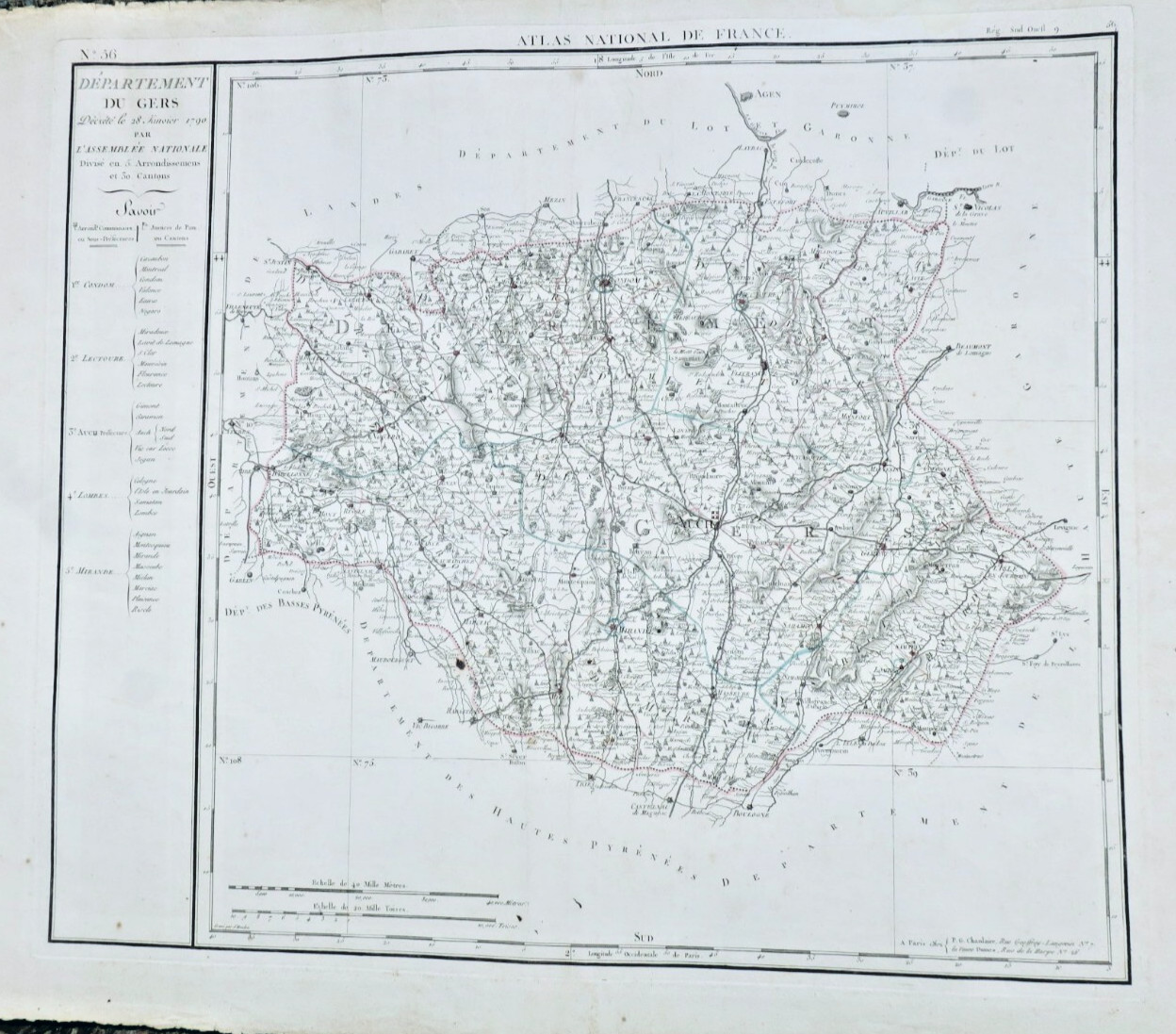
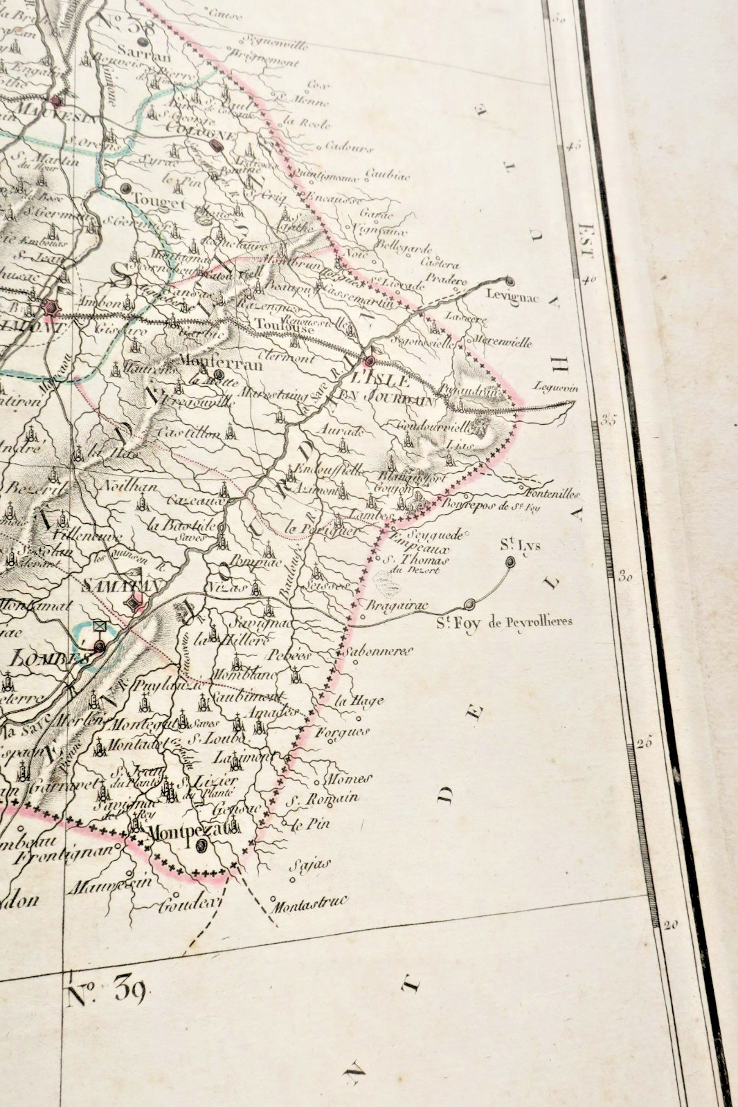
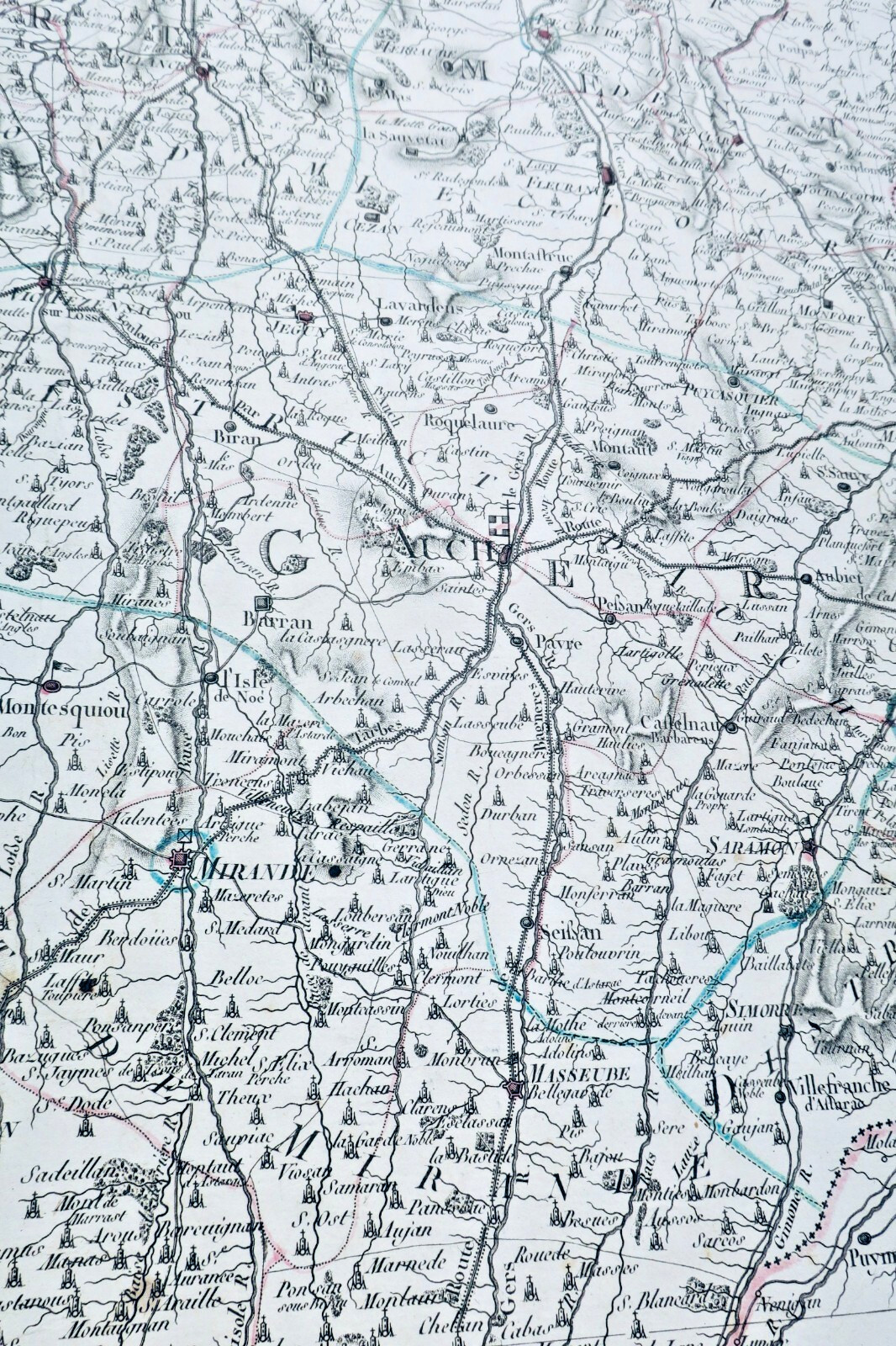
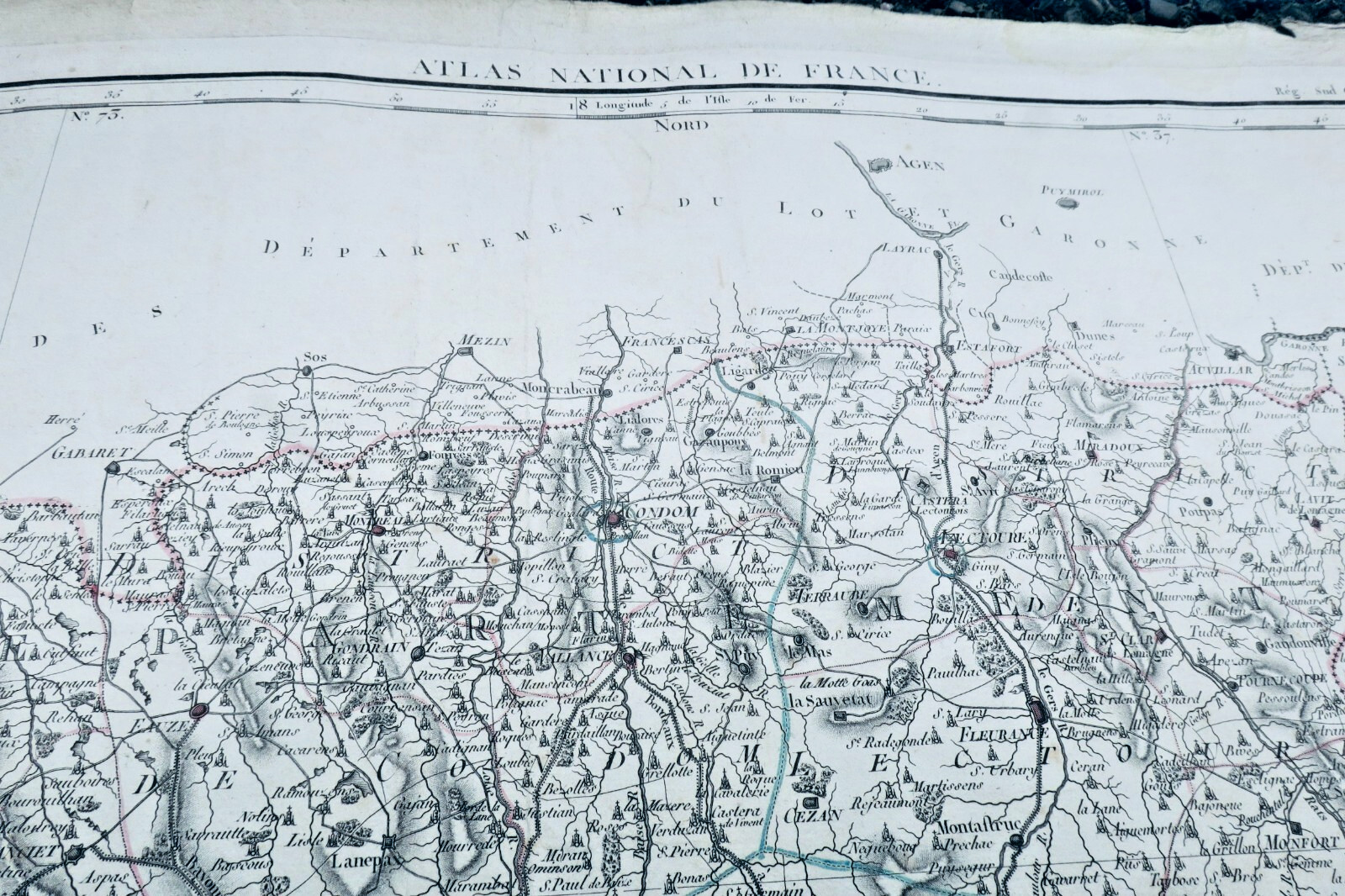
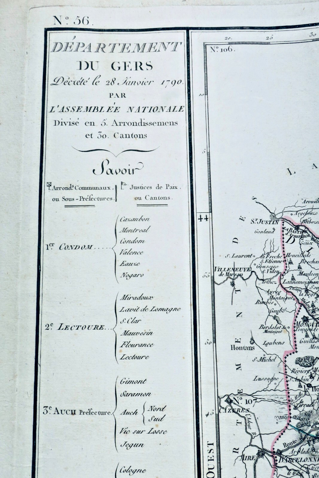
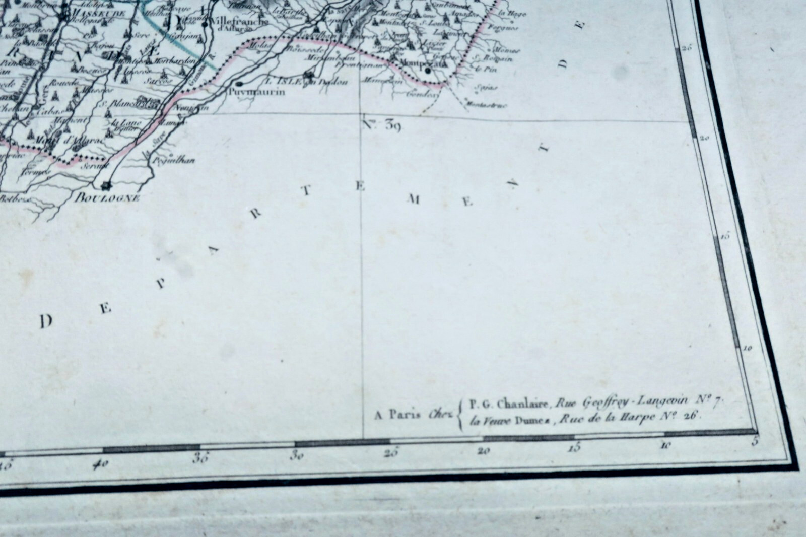
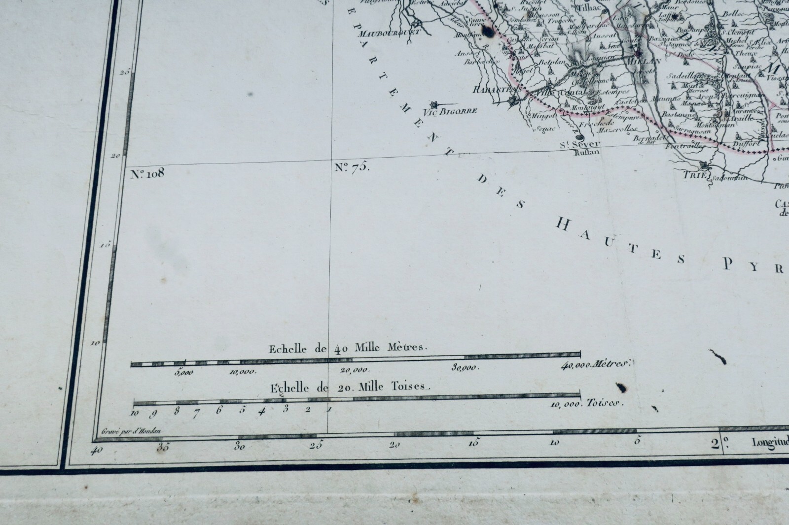
Department of Gers decreed on January 28, 1790 by the National Assembly. Paris, PG Chanlaire and widow Dumez, engraved by François d'Houdan, 590 x 860 mm (edge to edge). First printed map of the Department of Gers, engraved for the National Atlas of France, divided into 5 arrondissements (sub-prefectures) and 29 cantons (justices of peace). Auch shown as prefecture of…
Read full description ↓
LA LIBRAIRIE ANTIQUE
Independent bookshop since 1995, Paris
Worldwide shipping · SLAM membership pending[*]
[*] Membership of the Syndicate of Antiquarian and Modern Booksellers in progress.
Tell us what is not working, we fix things quickly. The page you are on is attached automatically.