440,00€
Subtotal: 440,00€


Subtotal: 440,00€

Subtotal: 440,00€


VENDU
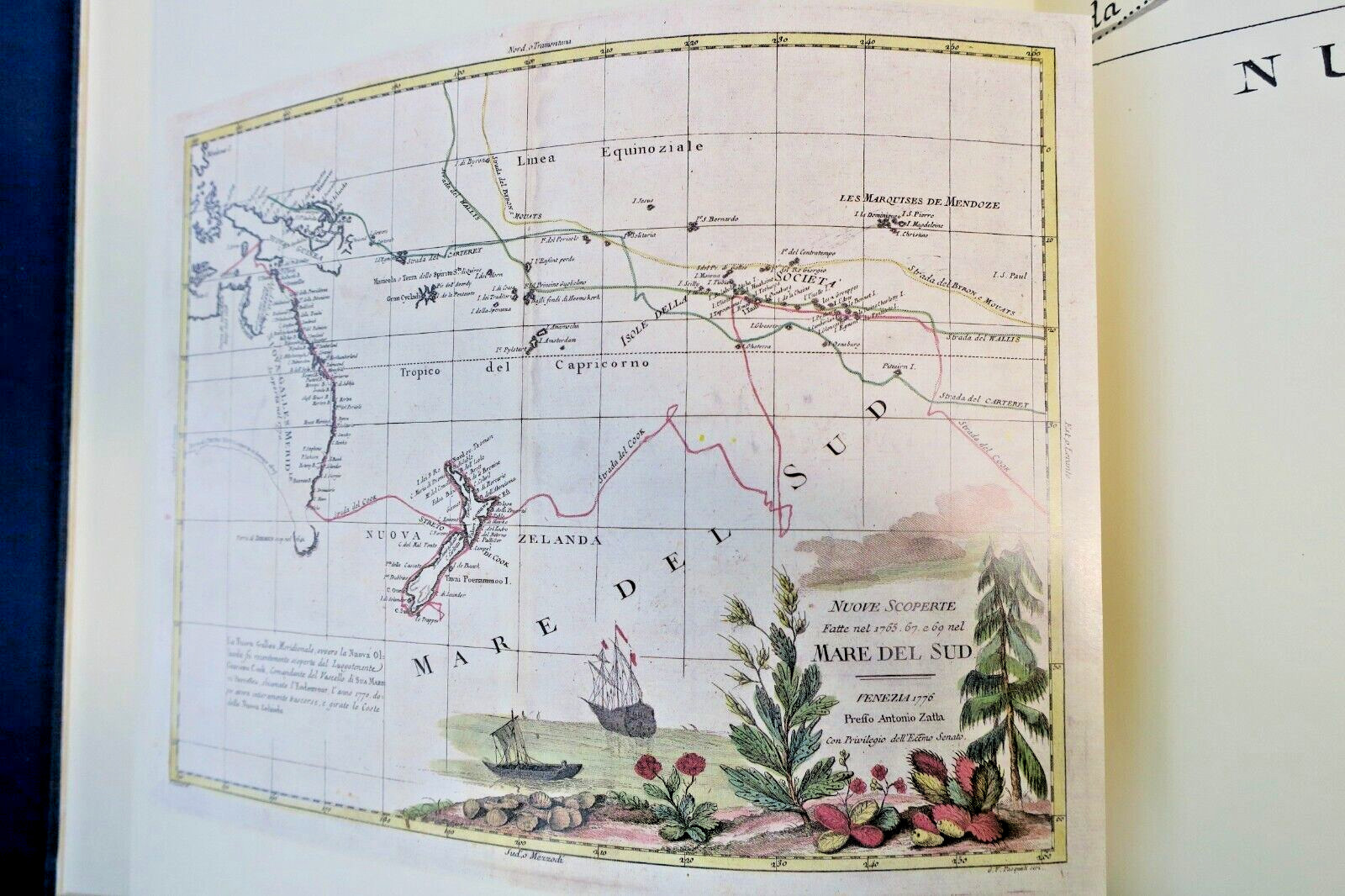
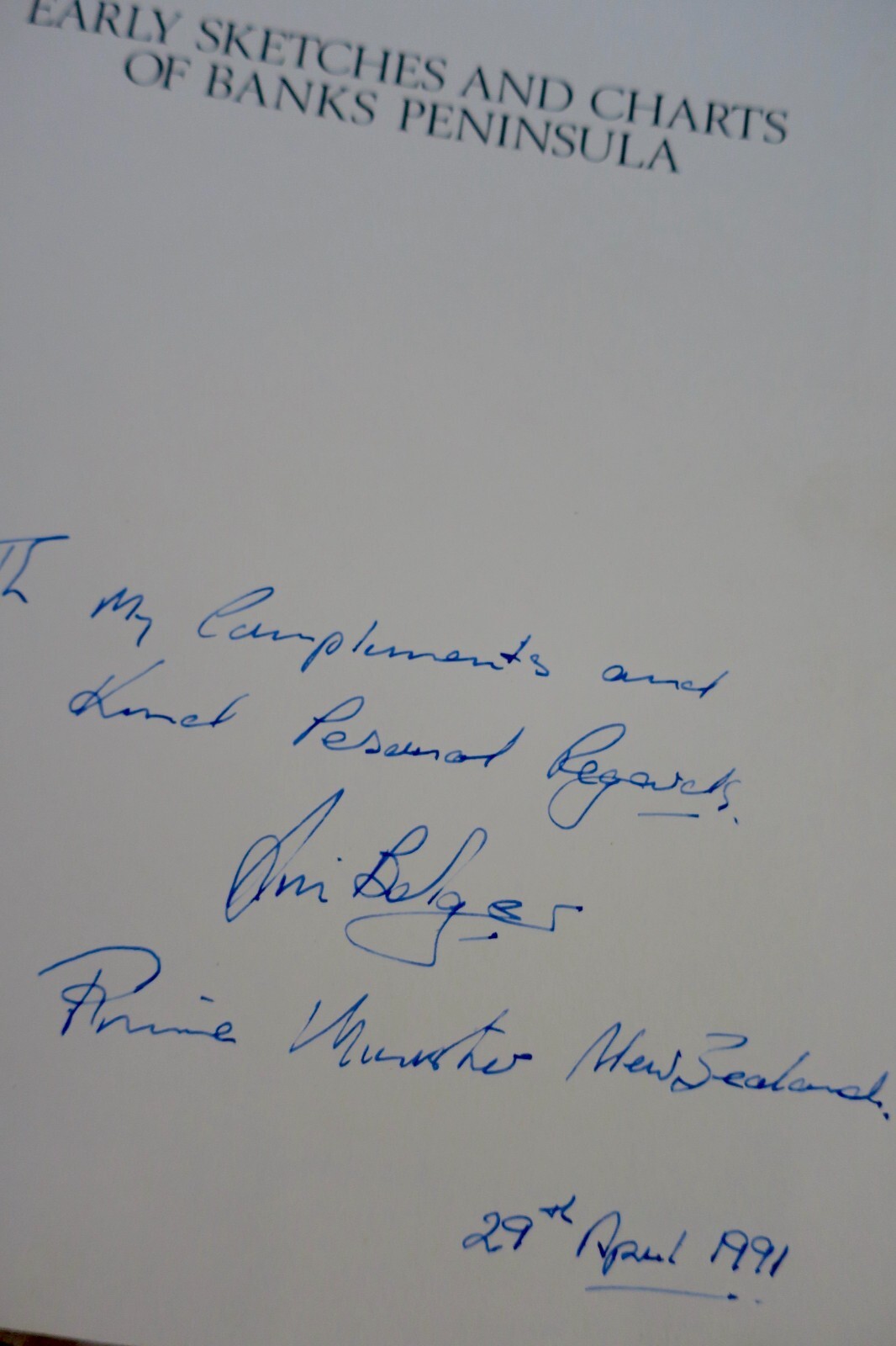
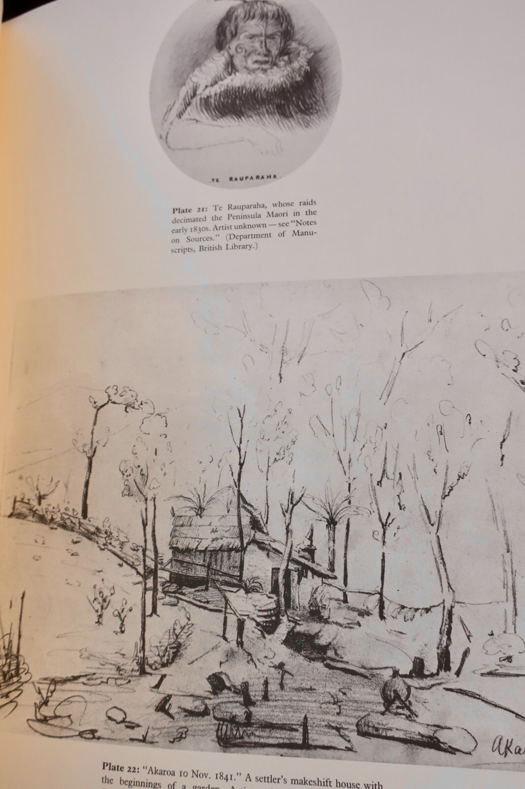
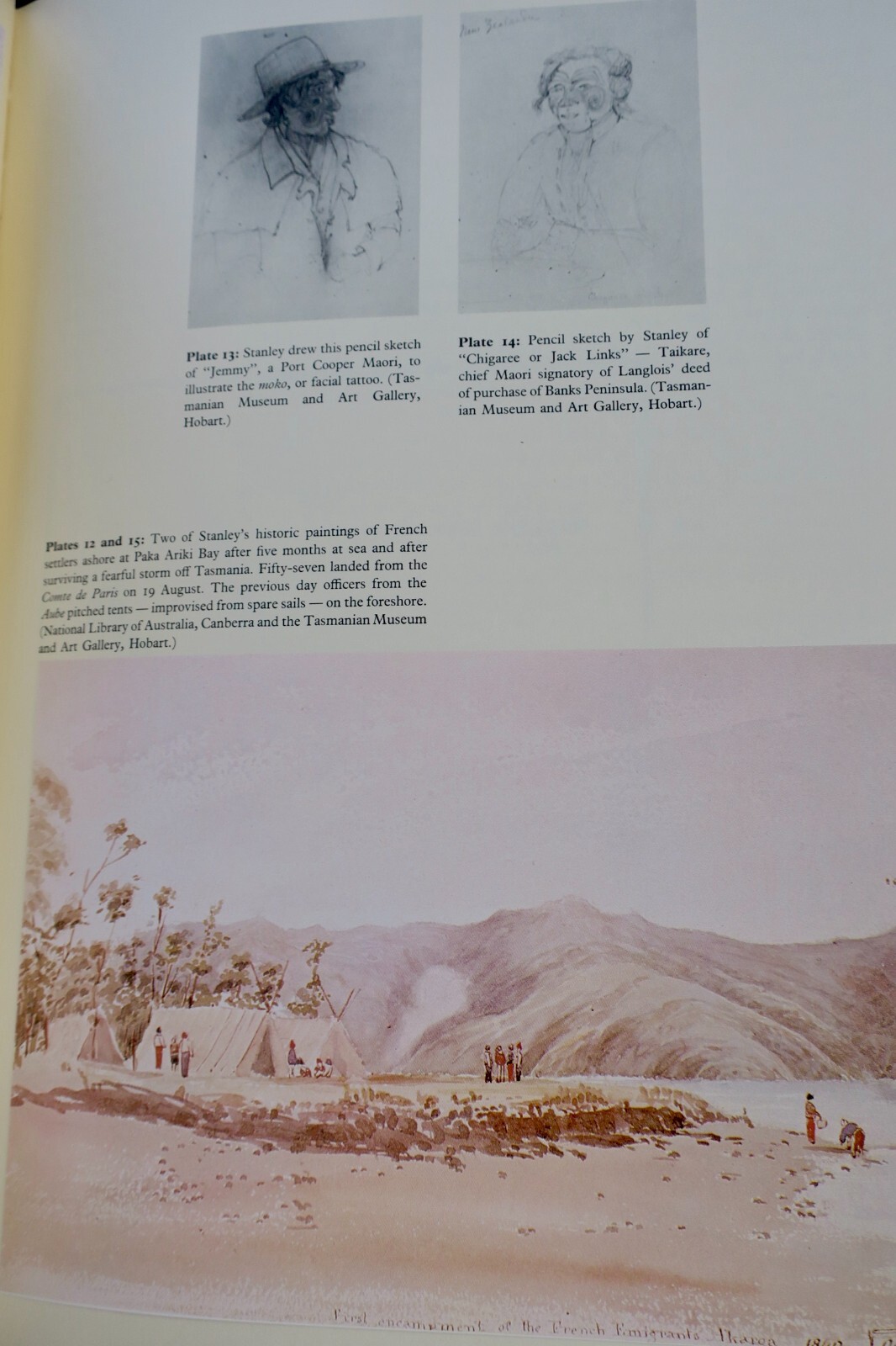
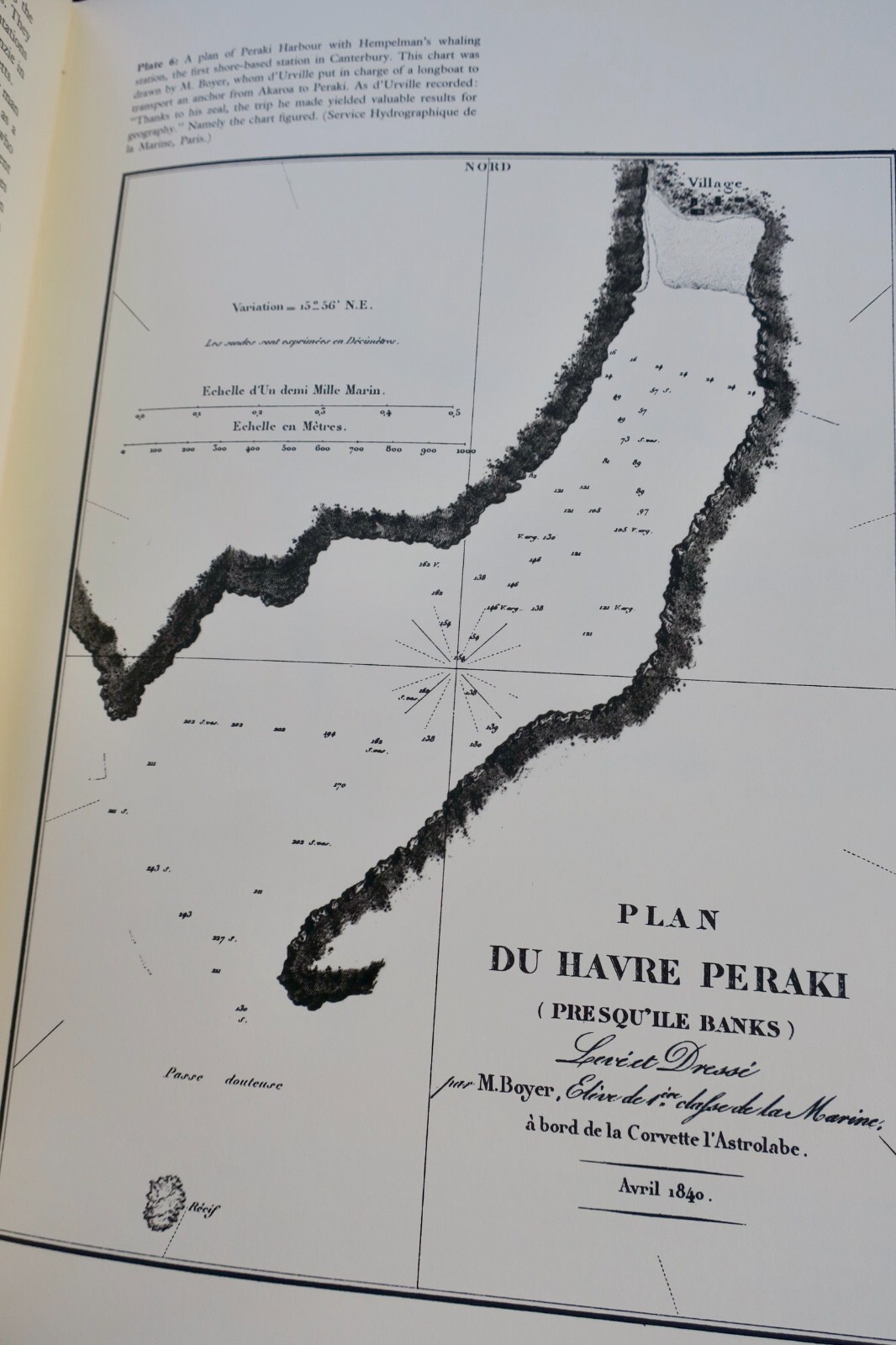
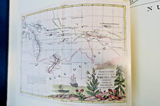
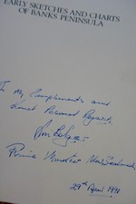
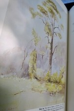
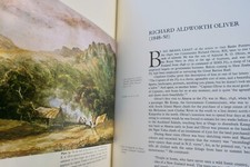
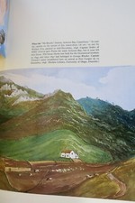
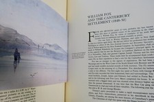
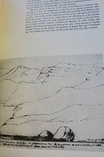
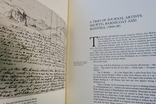
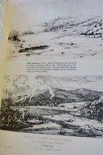
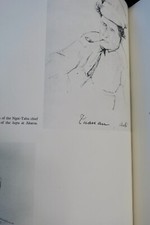
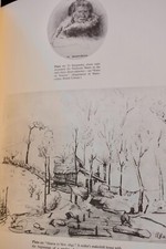
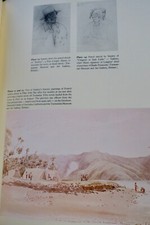
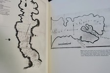
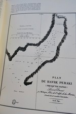
This collection features early sketches and charts from the years 1770 to 1850, focusing on the geographical explorations of Banks Peninsula, showcasing the historical development of New Zealand's cartography during this period.
LA LIBRAIRIE ANTIQUE
Independent bookshop since 1995, Paris
Worldwide shipping · SLAM membership pending[*]
[*] Membership of the Syndicate of Antiquarian and Modern Booksellers in progress.