28,00€
Subtotal: 28,00€
Subtotal: 28,00€


Subtotal: 28,00€
VENDU
Guaranteed authentic
Every book is examined and described individually by us. Professional booksellers since 1995.
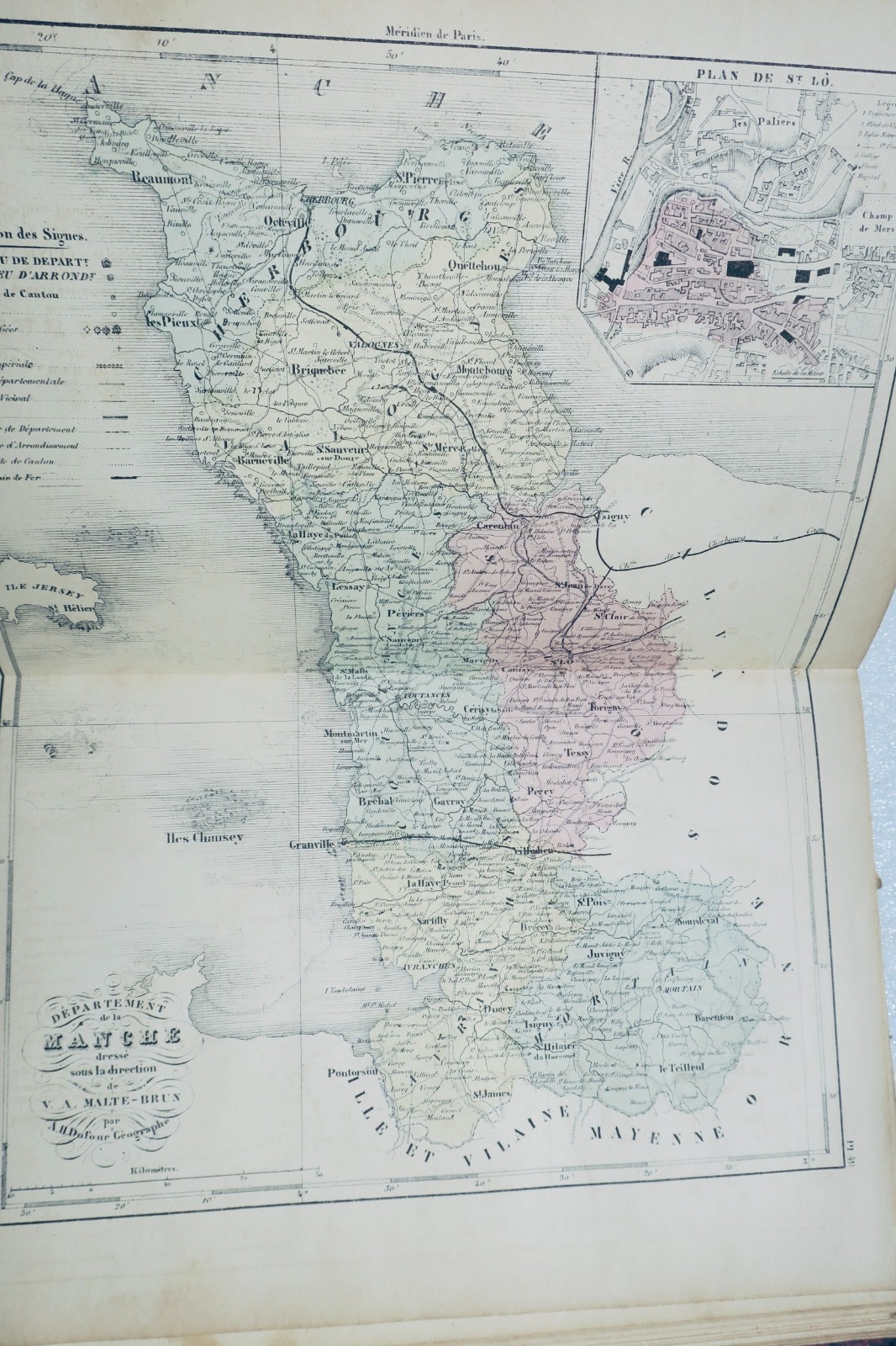
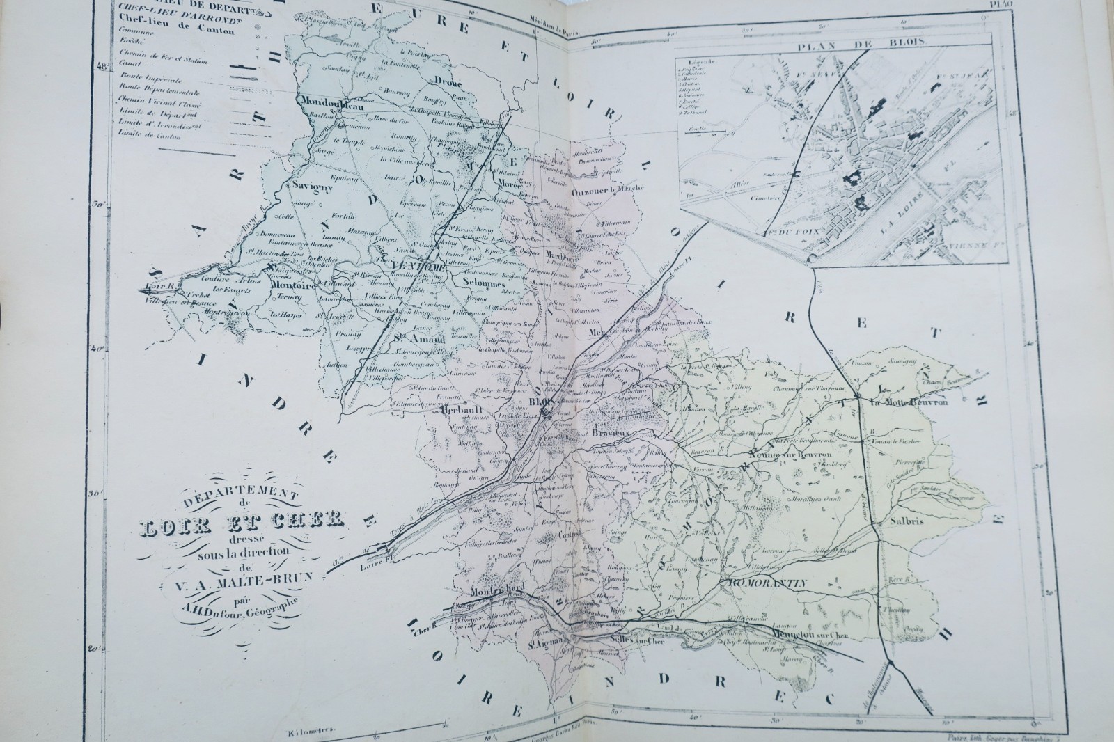
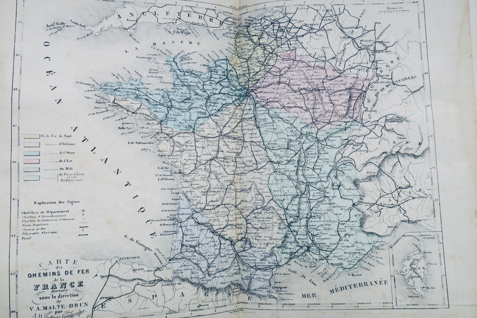
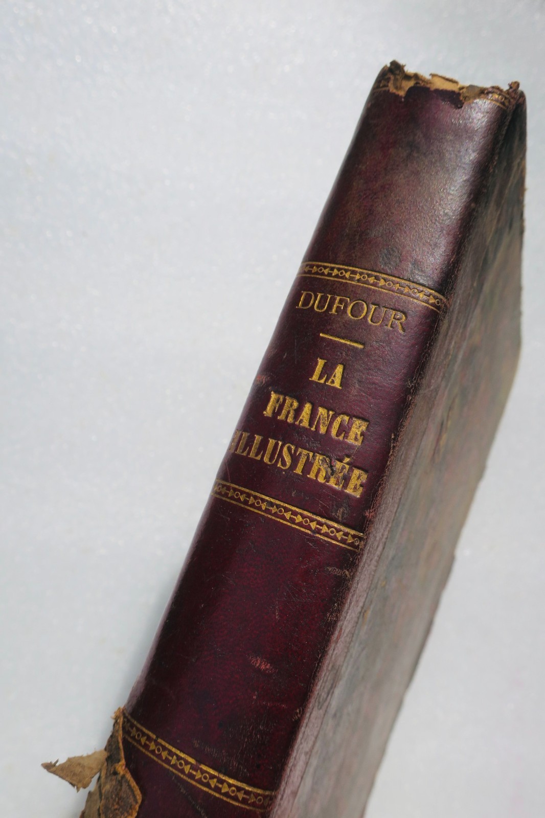
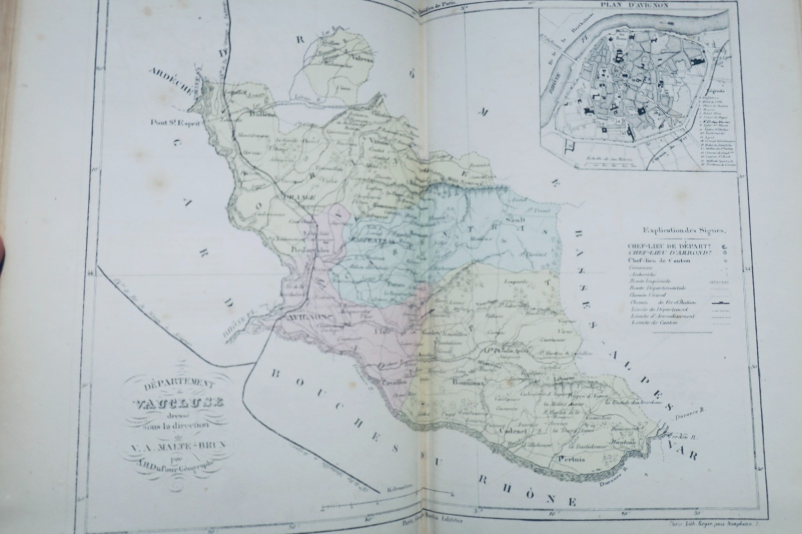
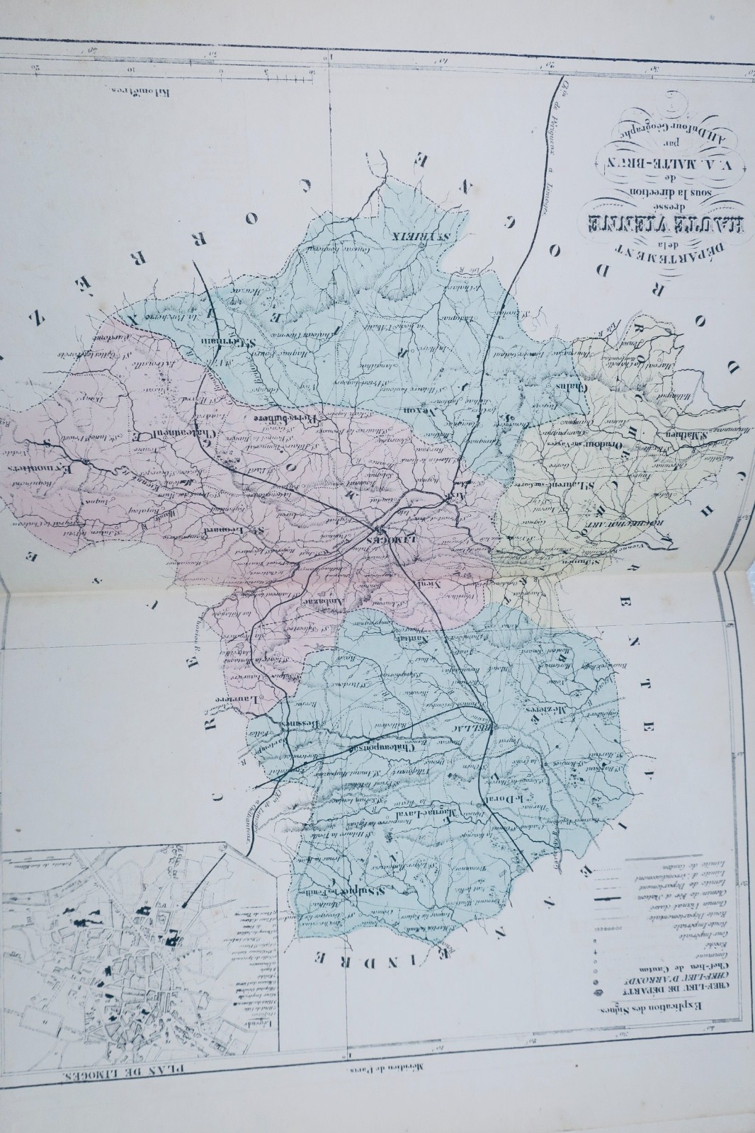
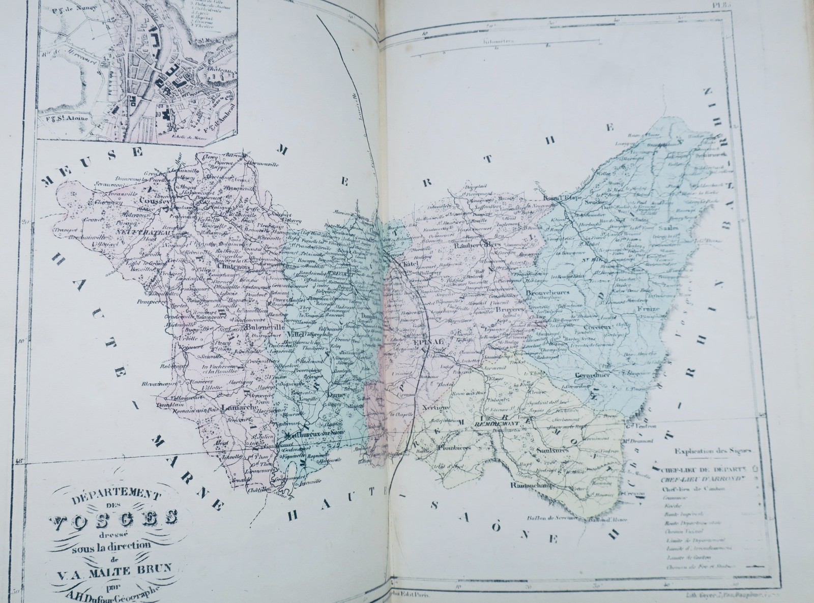
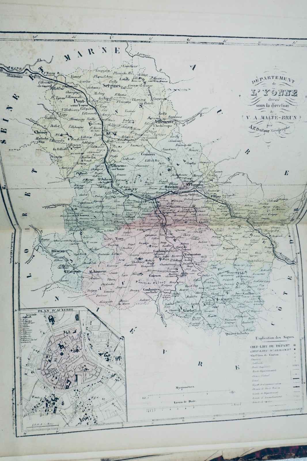
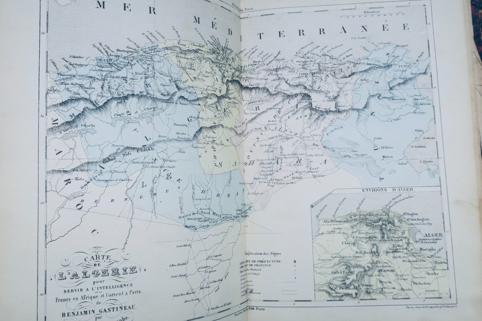
France Illustrated. Atlas containing all the departments and plans of the capitals by DUFOUR and MALTE-BRUN. Published by BARBA Gustave, Paris, circa 1850. Format: 20 x 28 cm. Binding: half-leather, damaged (missing on back, rubbed edges). Contains 102 color maps in good condition with minor marginal cuts but no missing pages. Includes a folding map of Paris with numerous tears…
Read full description ↓
LA LIBRAIRIE ANTIQUE
Independent bookshop since 1995, Paris
Worldwide shipping · SLAM membership pending[*]
[*] Membership of the Syndicate of Antiquarian and Modern Booksellers in progress.
Tell us what is not working, we fix things quickly. The page you are on is attached automatically.