1 178,60€
Subtotal: 1 178,60€



















Subtotal: 1 178,60€


Subtotal: 1 178,60€
180,00€
❦One copy only
As with every antiquarian book, this is the only copy we hold. Once sold, it will not be restocked.
Guaranteed authentic
Every book is examined and described individually by us. Professional booksellers since 1995.
In stock
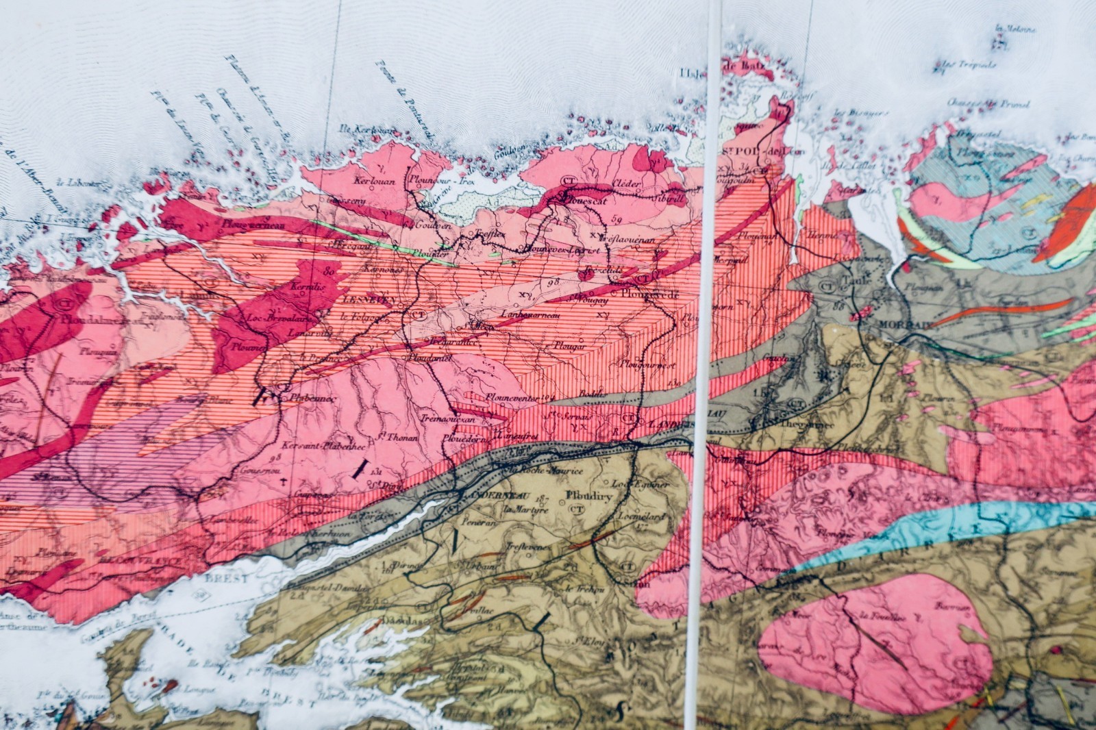
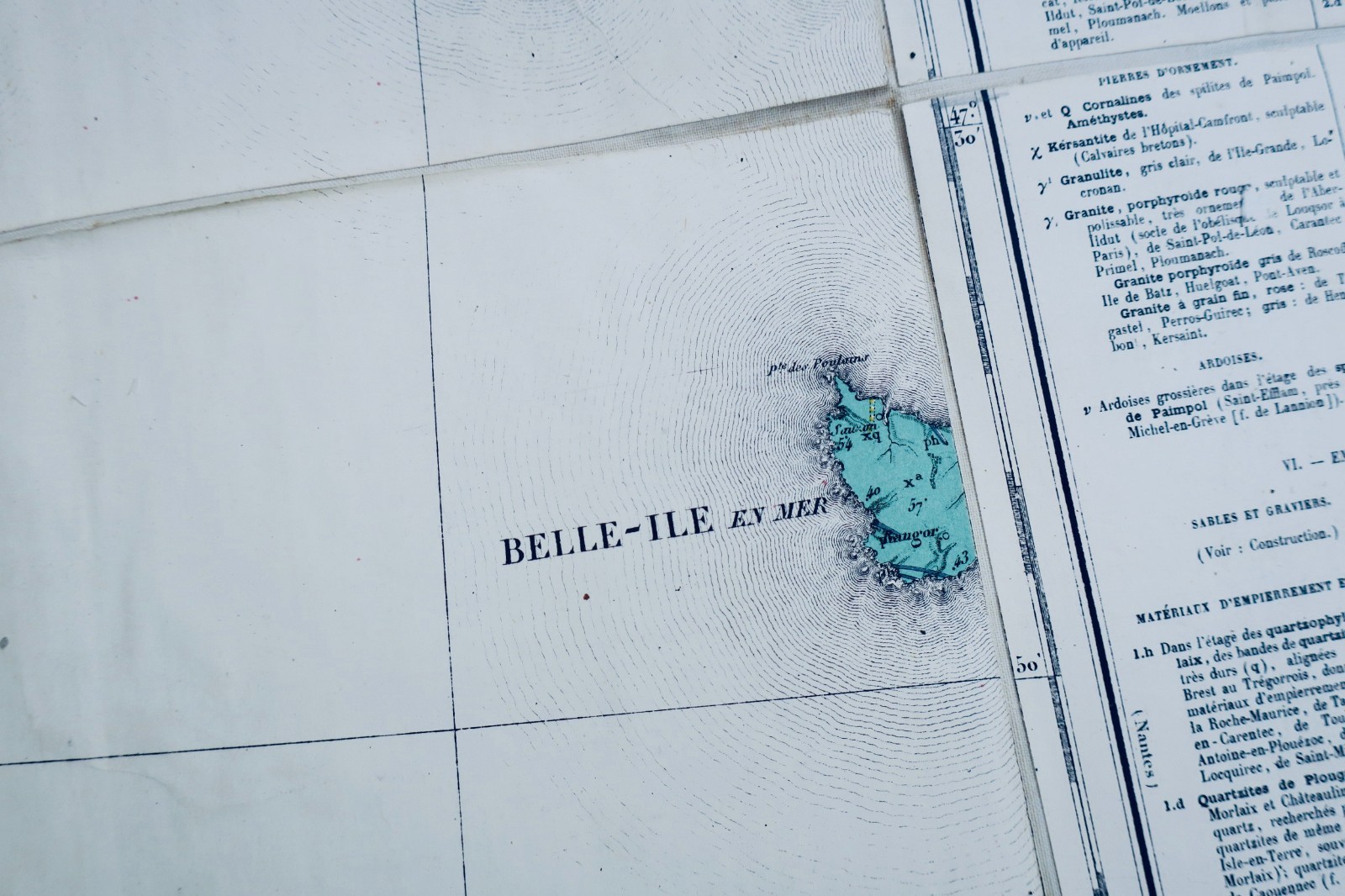
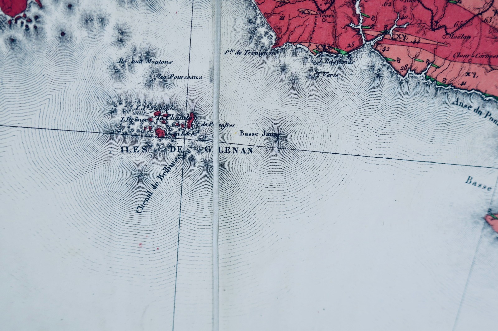
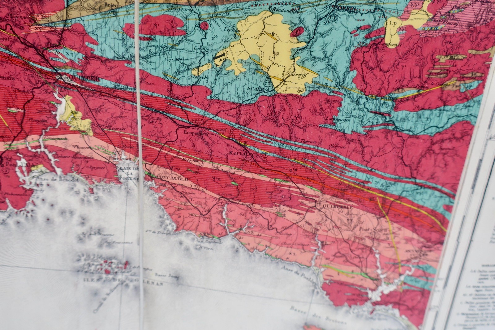
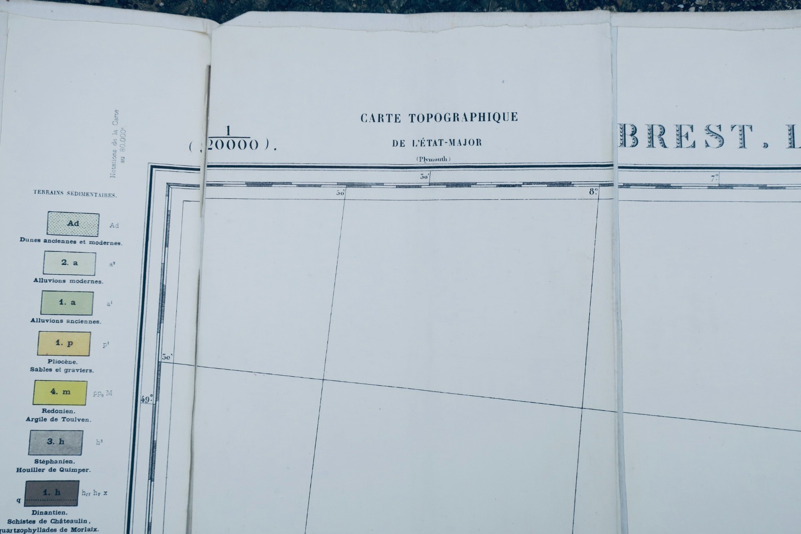
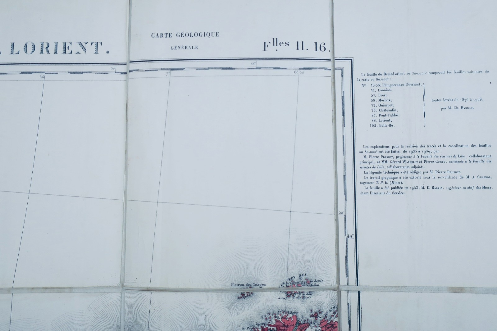
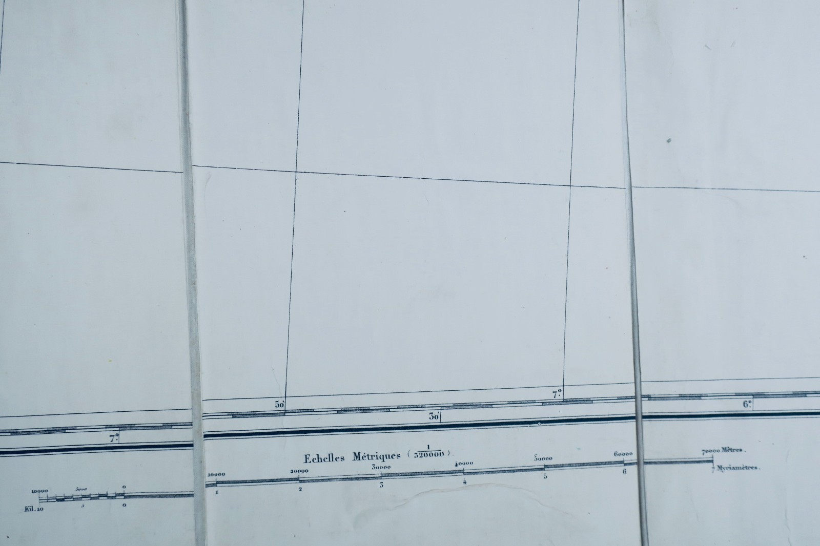
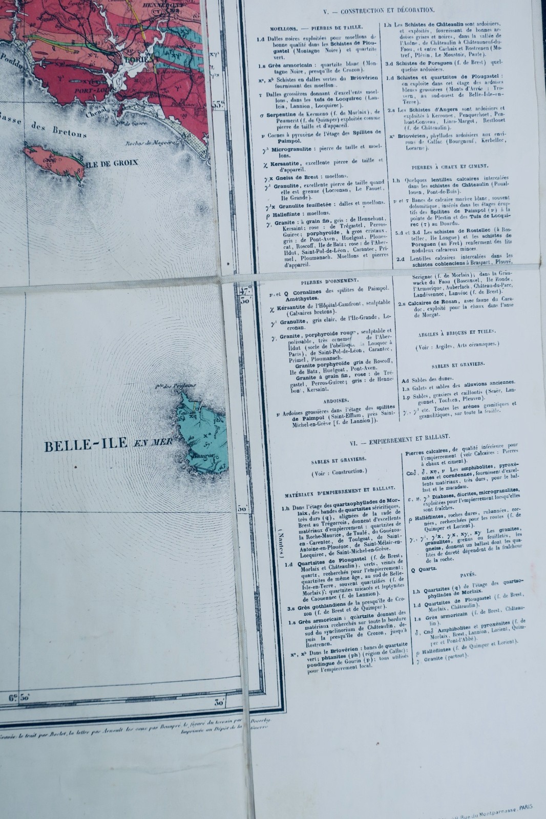
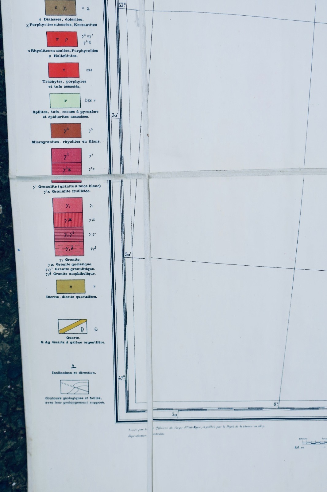
This topographical military staff map, titled Brest-Lorient and measuring 73 x 97 cm, depicts a section of Breton territory between these two cities during the contemporary period of its creation. It belongs to the tradition of French military maps, produced by the general staff for strategic and administrative purposes, offering precise details of relief, communication routes and territorial boundaries. Though…
Read full description ↓This topographical military staff map, titled Brest-Lorient and measuring 73 x 97 cm, depicts a section of Breton territory between these two cities during the contemporary period of its creation. It belongs to the tradition of French military maps, produced by the general staff for strategic and administrative purposes, offering precise details of relief, communication routes and territorial boundaries. Though a technical document, it holds significant historical and geographical interest, particularly for the study of land development and landscapes of the period. The condition of the map is not specified in the current description.
LA LIBRAIRIE ANTIQUE
Independent bookshop since 1995, Paris
Worldwide shipping · SLAM membership pending[*]
[*] Membership of the Syndicate of Antiquarian and Modern Booksellers in progress.
Tell us what is not working, we fix things quickly. The page you are on is attached automatically.