791,00€
Subtotal: 791,00€


Subtotal: 791,00€

Subtotal: 791,00€
210,00€
In stock
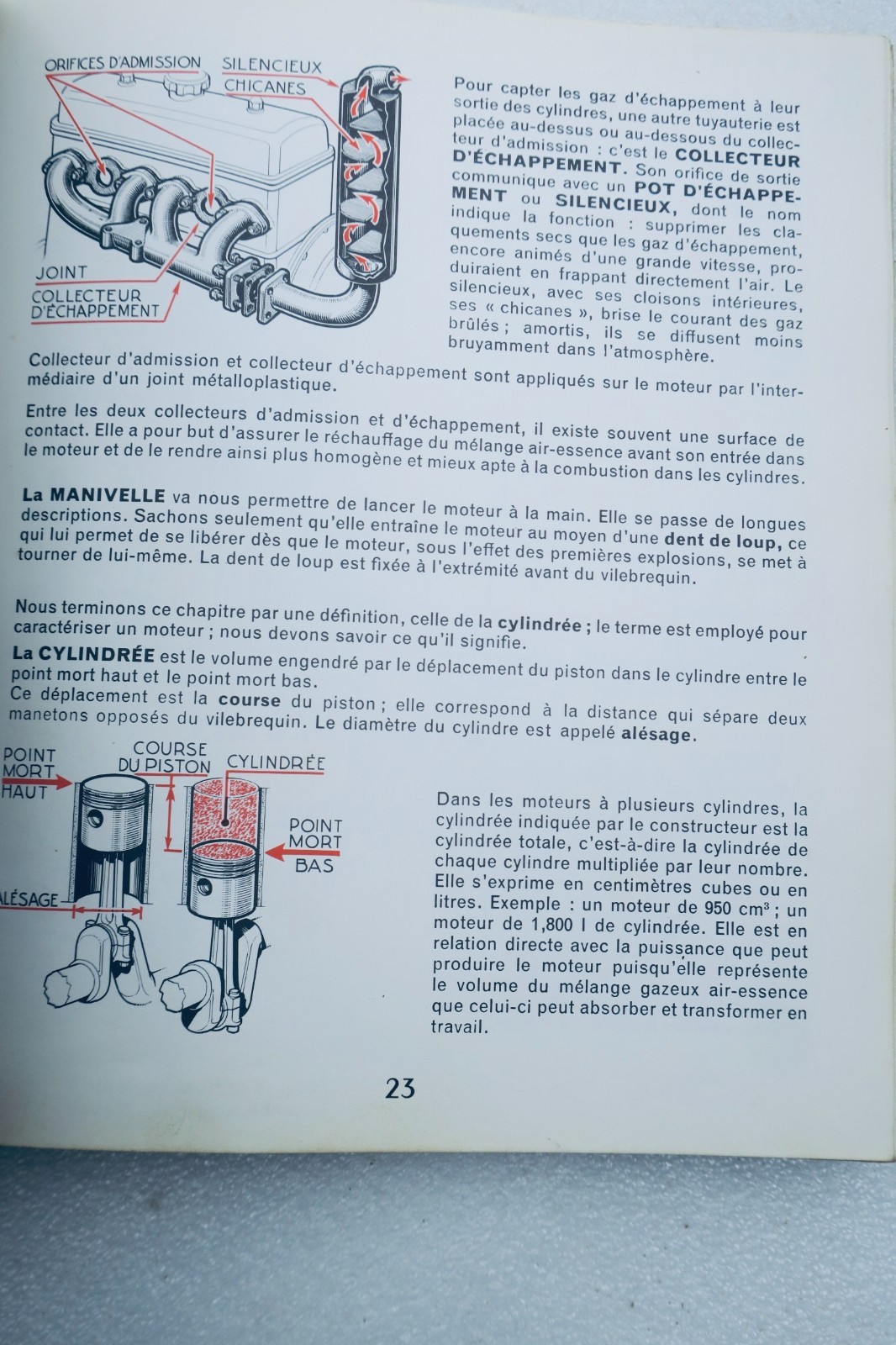
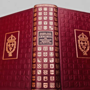
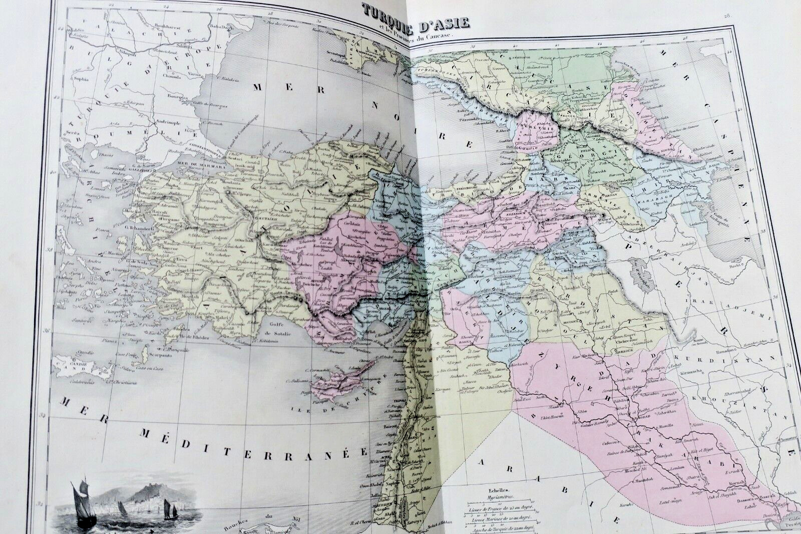
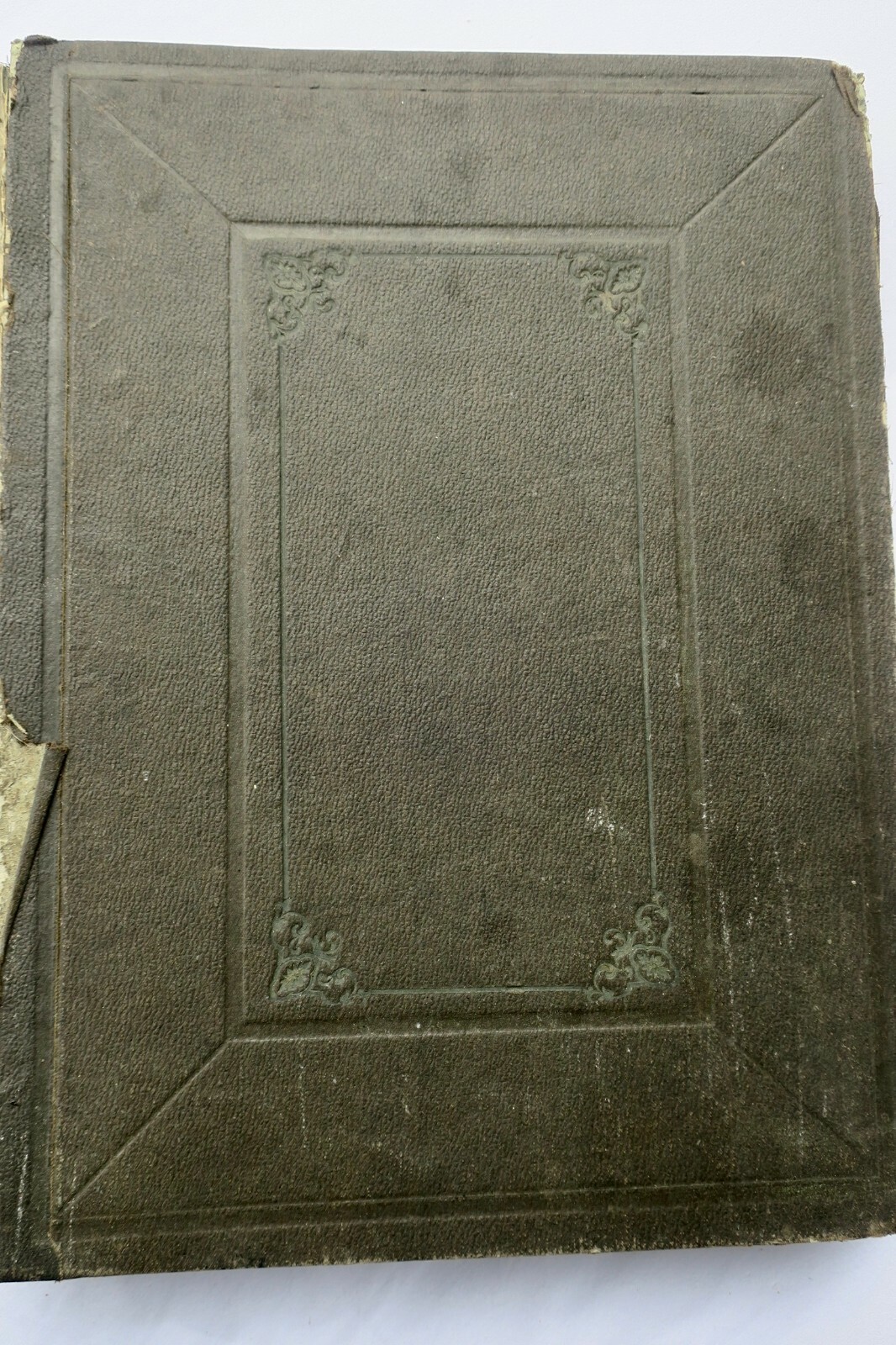
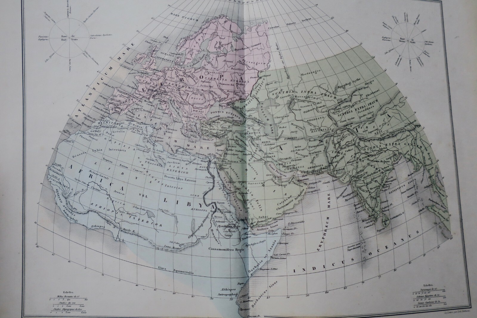
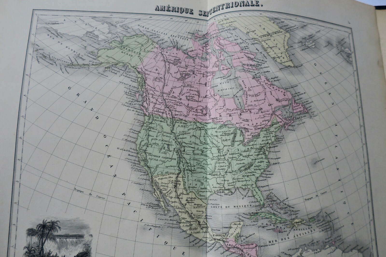
Atlas by Migeon, Paris, circa 1840. 27 x 36 cm. Percaline binding in as-is condition, well-preserved interior. 39 colored maps in fine state. Cartography by A. T. Chartier, Desbuissons, A. Vuillemin; lettering by Isid. Dalmont; engraved by Sengteller. Each map accompanied by two pages of explanatory text. Maps include: celestial planisphere, ancient world, ancient Italy, independent and Roman Gaul, world…
Read full description ↓
LA LIBRAIRIE ANTIQUE
Independent bookshop since 1995, Paris
Worldwide shipping · SLAM membership pending[*]
[*] Membership of the Syndicate of Antiquarian and Modern Booksellers in progress.