39 colored maps of world and ancient territories
Original title : Atlas Migeon 39 cartes vers 1840
210,00€
In stock
About this book
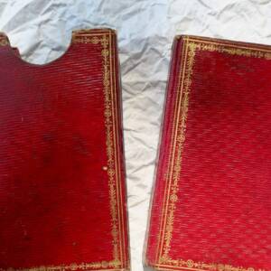
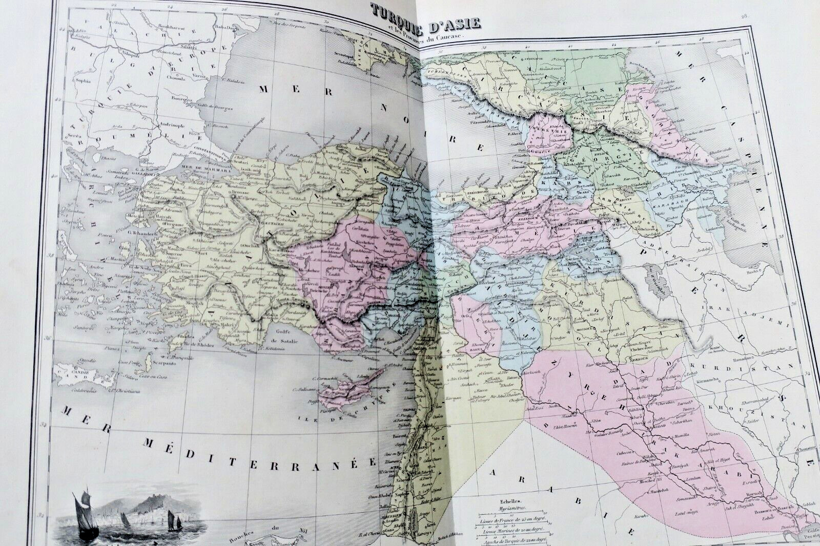
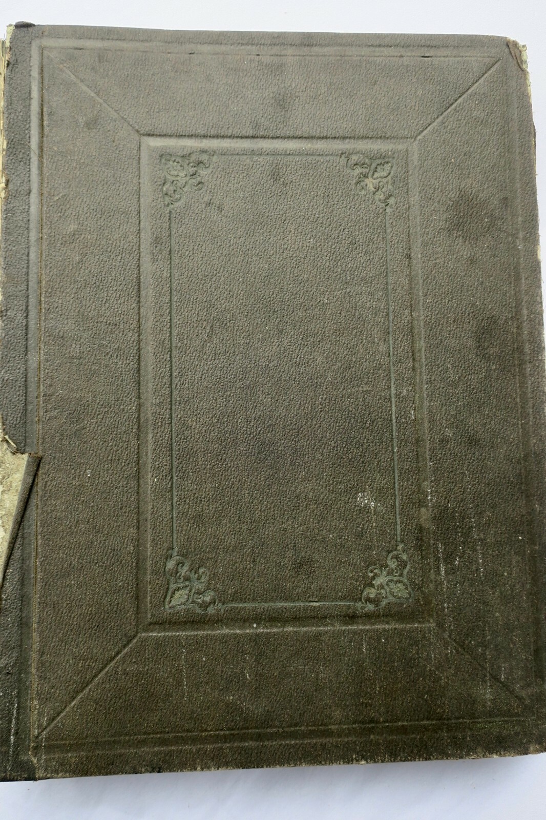
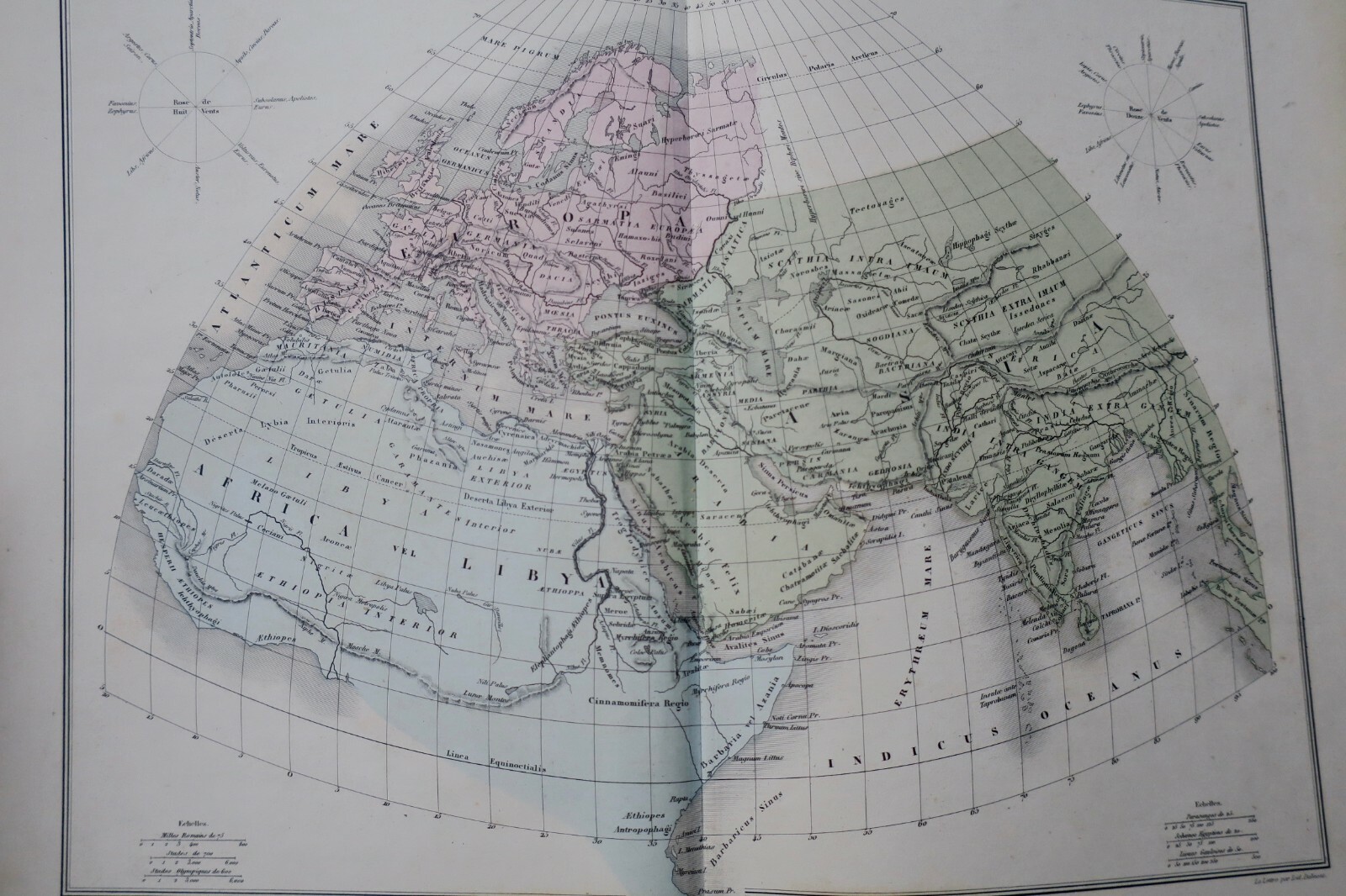
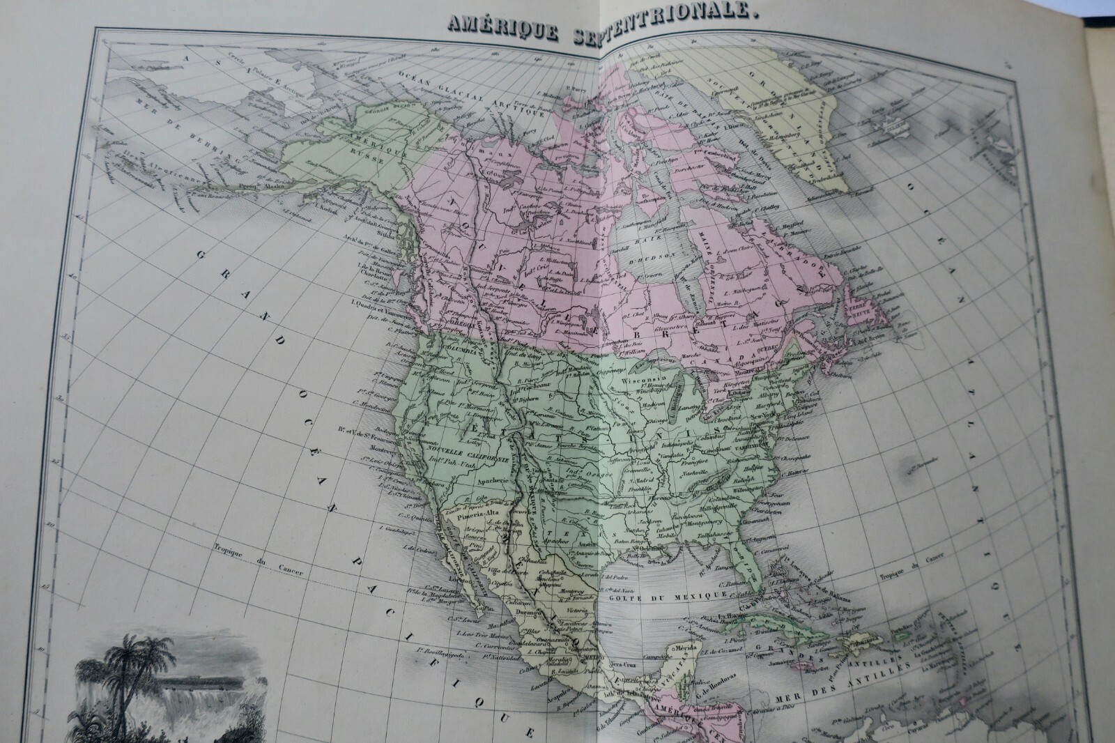
Atlas by Migeon, Paris, circa 1840. 27 x 36 cm. Percaline binding in as-is condition, well-preserved interior. 39 colored maps in fine state. Cartography by A. T. Chartier, Desbuissons, A. Vuillemin; lettering by Isid. Dalmont; engraved by Sengteller. Each map accompanied by two pages of explanatory text. Maps include: celestial planisphere, ancient world, ancient Italy, independent and Roman Gaul, world…
Read full description ↓Description
Atlas by Migeon, Paris, circa 1840. 27 x 36 cm. Percaline binding in as-is condition, well-preserved interior. 39 colored maps in fine state. Cartography by A. T. Chartier, Desbuissons, A. Vuillemin; lettering by Isid. Dalmont; engraved by Sengteller. Each map accompanied by two pages of explanatory text. Maps include: celestial planisphere, ancient world, ancient Italy, independent and Roman Gaul, world planisphere in two hemispheres, Europe, feudal France, France 1789, French Empire 1811, France by departments, British Isles, Spain and Portugal, Italy (northern and southern regions), Switzerland, Austrian Empire, German Confederation, Netherlands and Belgium, Sweden and Norway, Denmark, Iceland and Faroe Islands, Prussia, European Russia, European Turkey, modern Greece, Asia, Asian Turkey, Siberia, Africa, modern Egypt, Algeria and its provinces, Tunisia and Tripoli, Morocco, North and South America, Oceania. Title page missing. Shipping outside European Union subject to additional charges.
❦
LA LIBRAIRIE ANTIQUE
Independent bookshop since 1995, Paris
Worldwide shipping · SLAM membership pending[*]
[*] Membership of the Syndicate of Antiquarian and Modern Booksellers in progress.