422,00€
Subtotal: 422,00€
Subtotal: 422,00€

Subtotal: 422,00€
306,00€
In stock
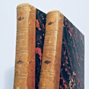
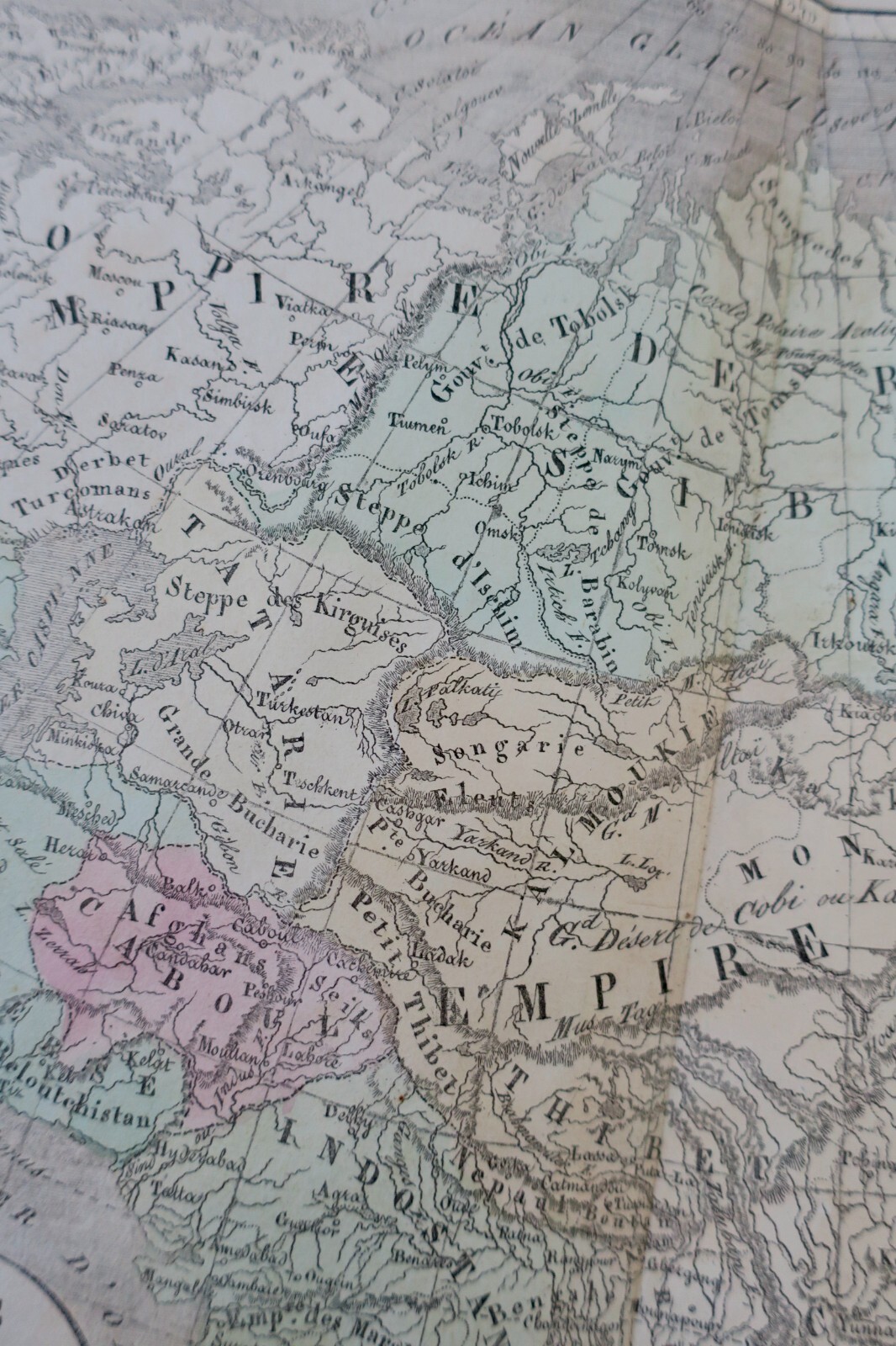
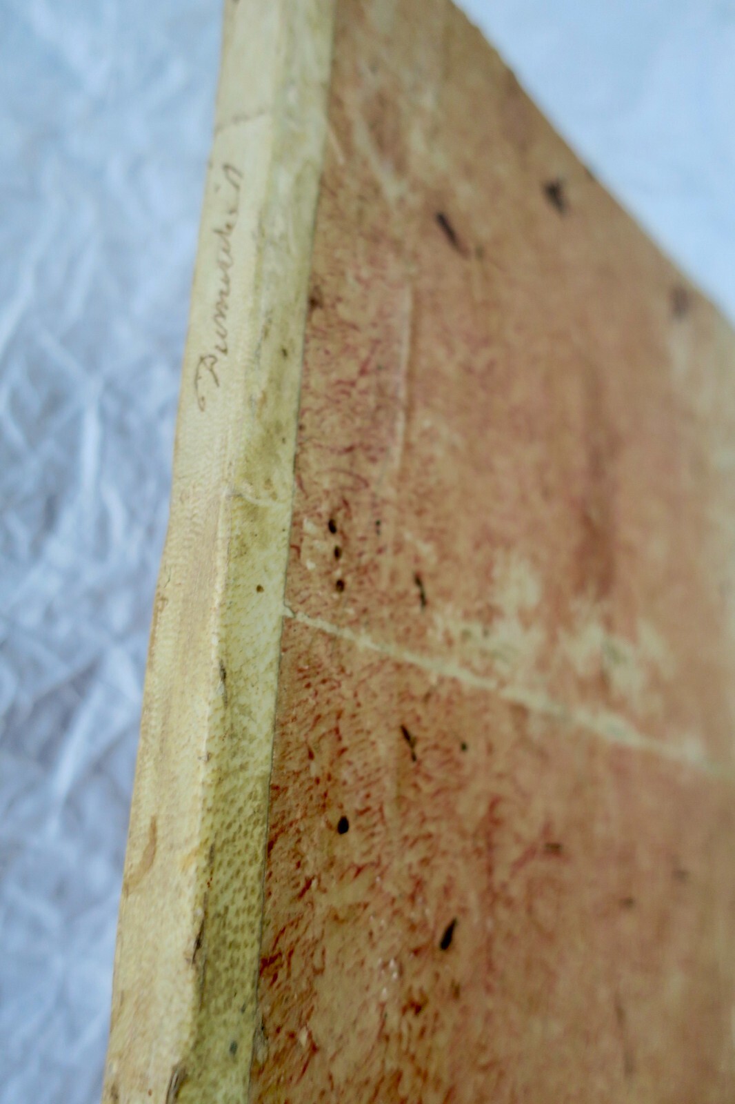
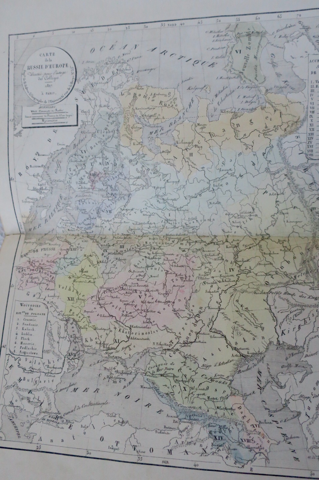
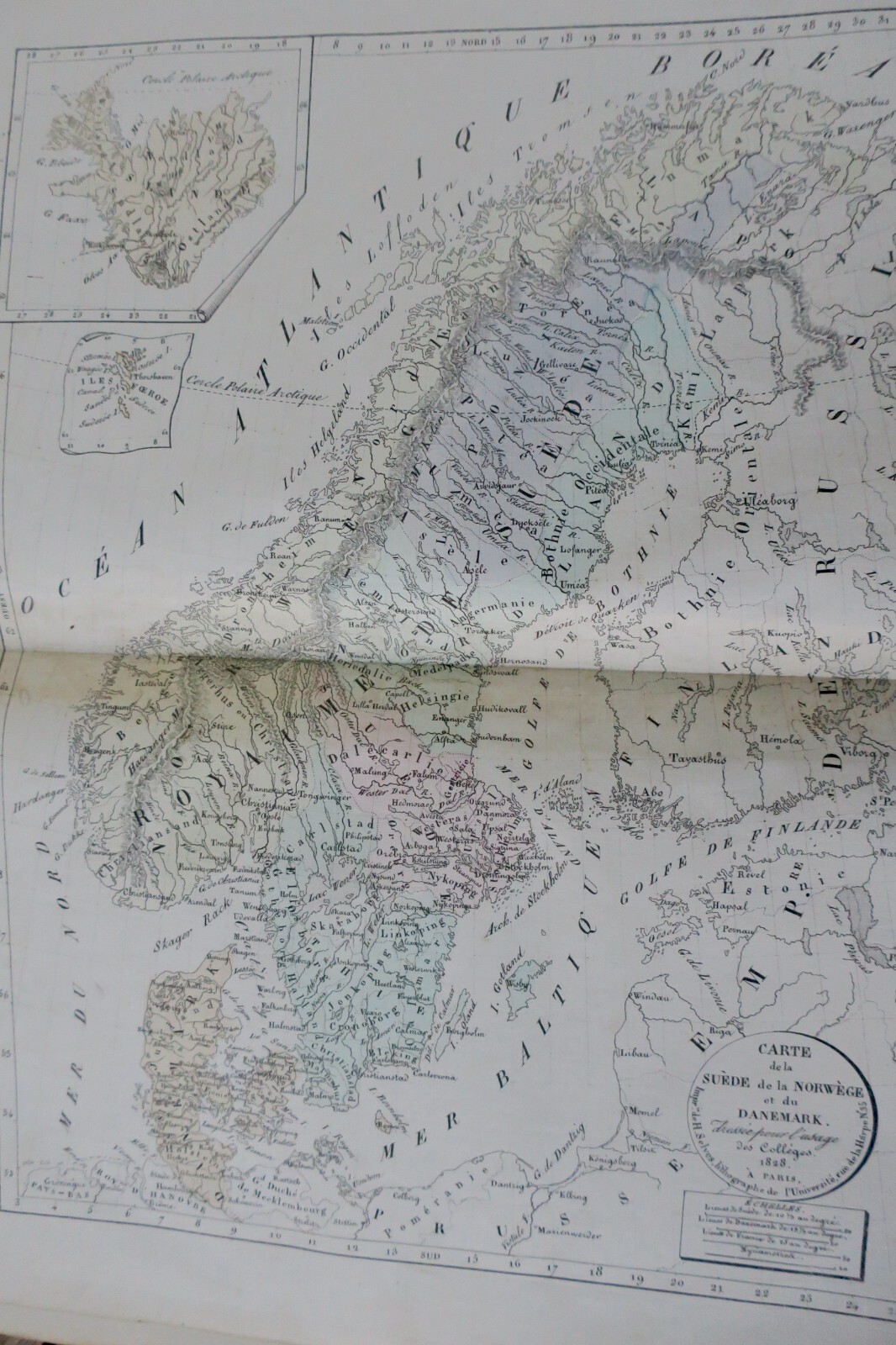
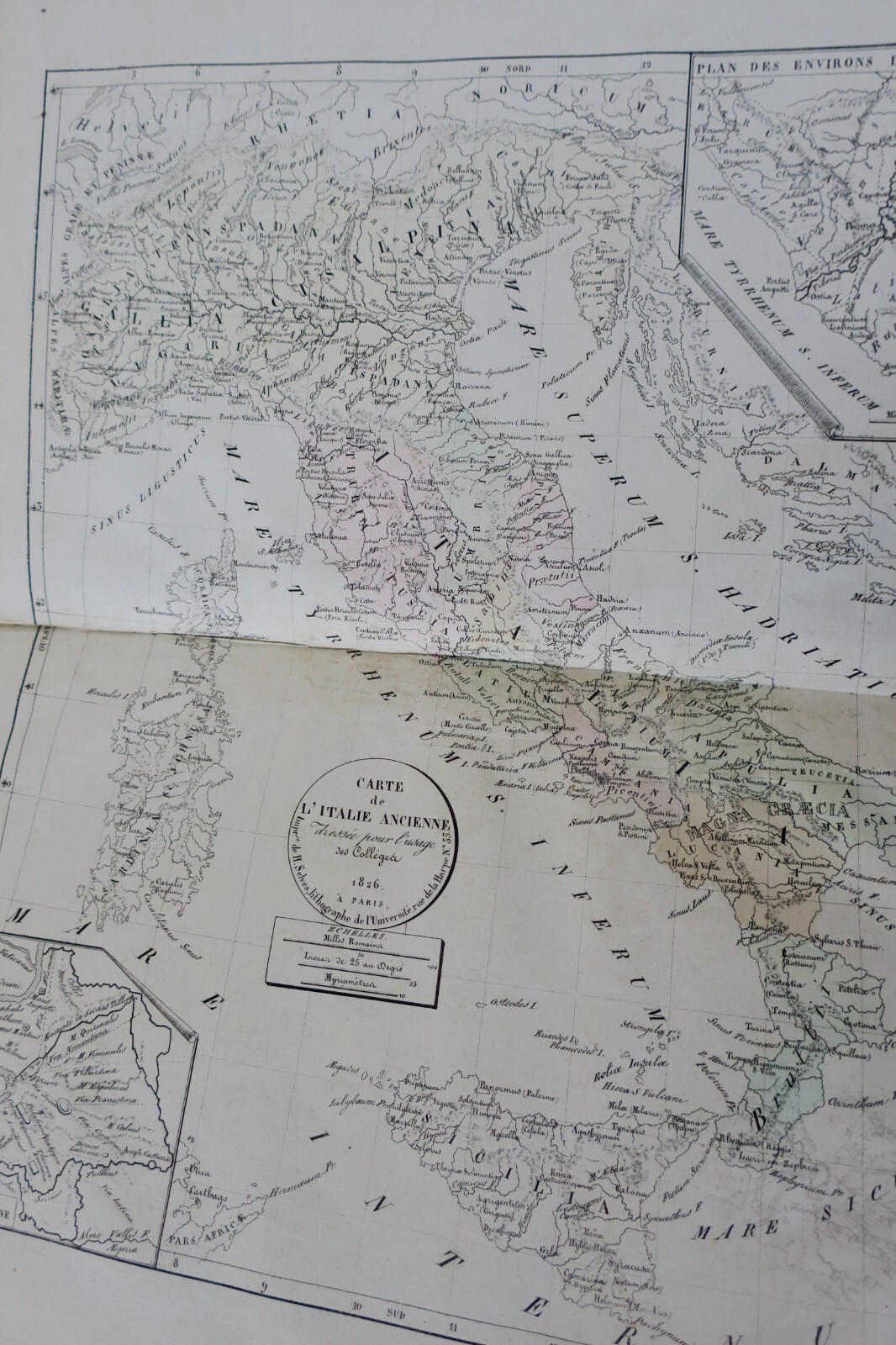
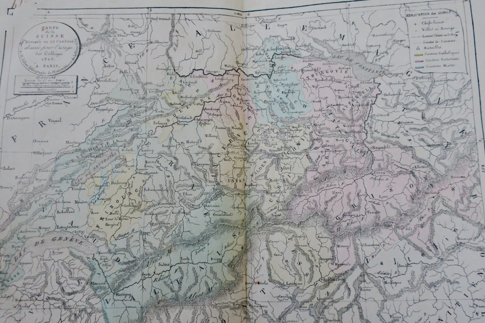
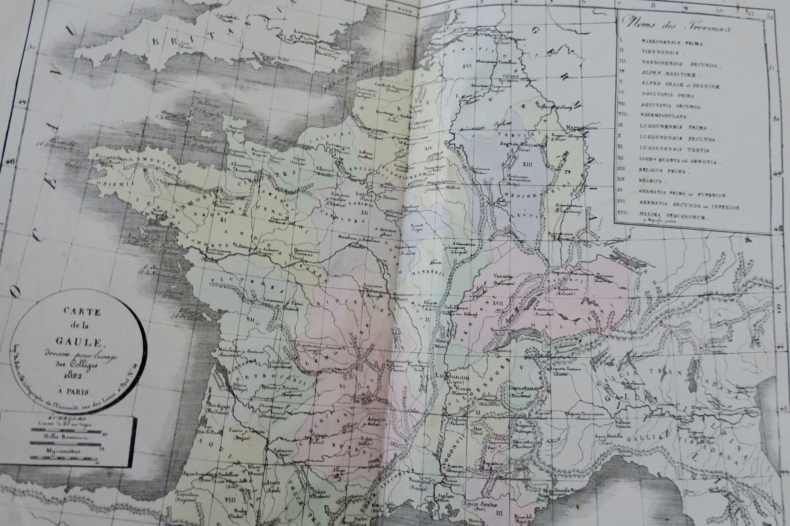
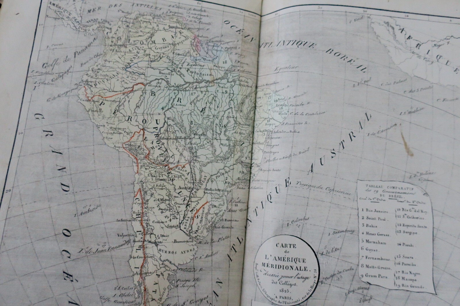
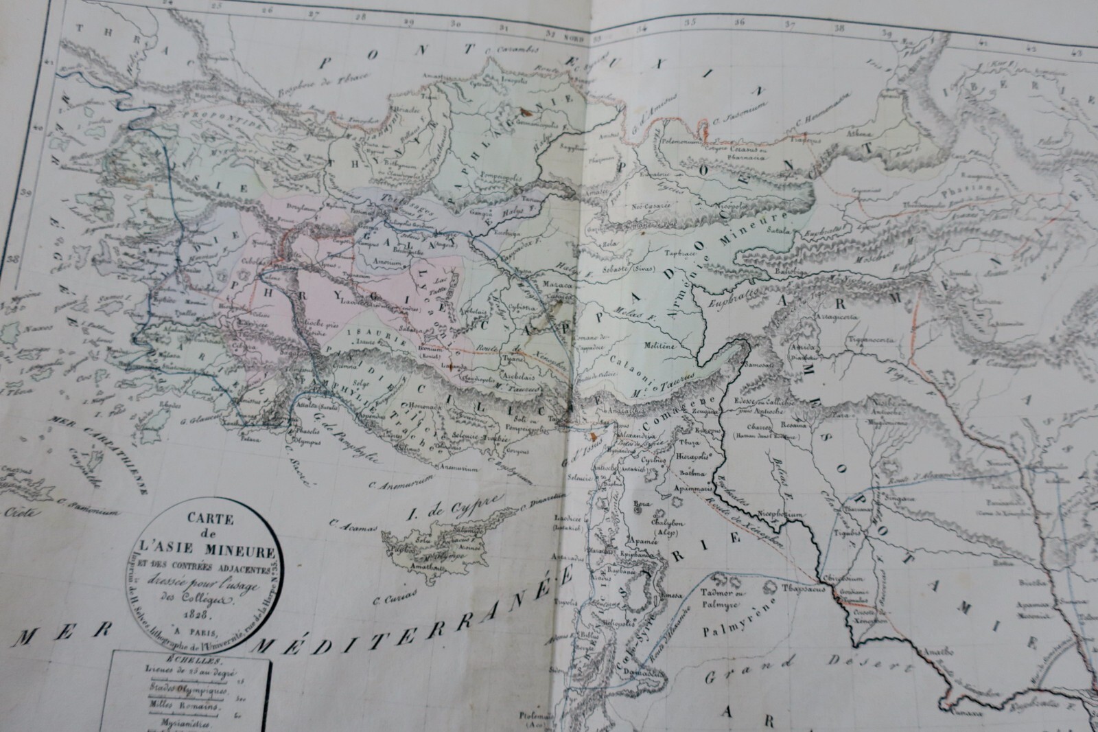
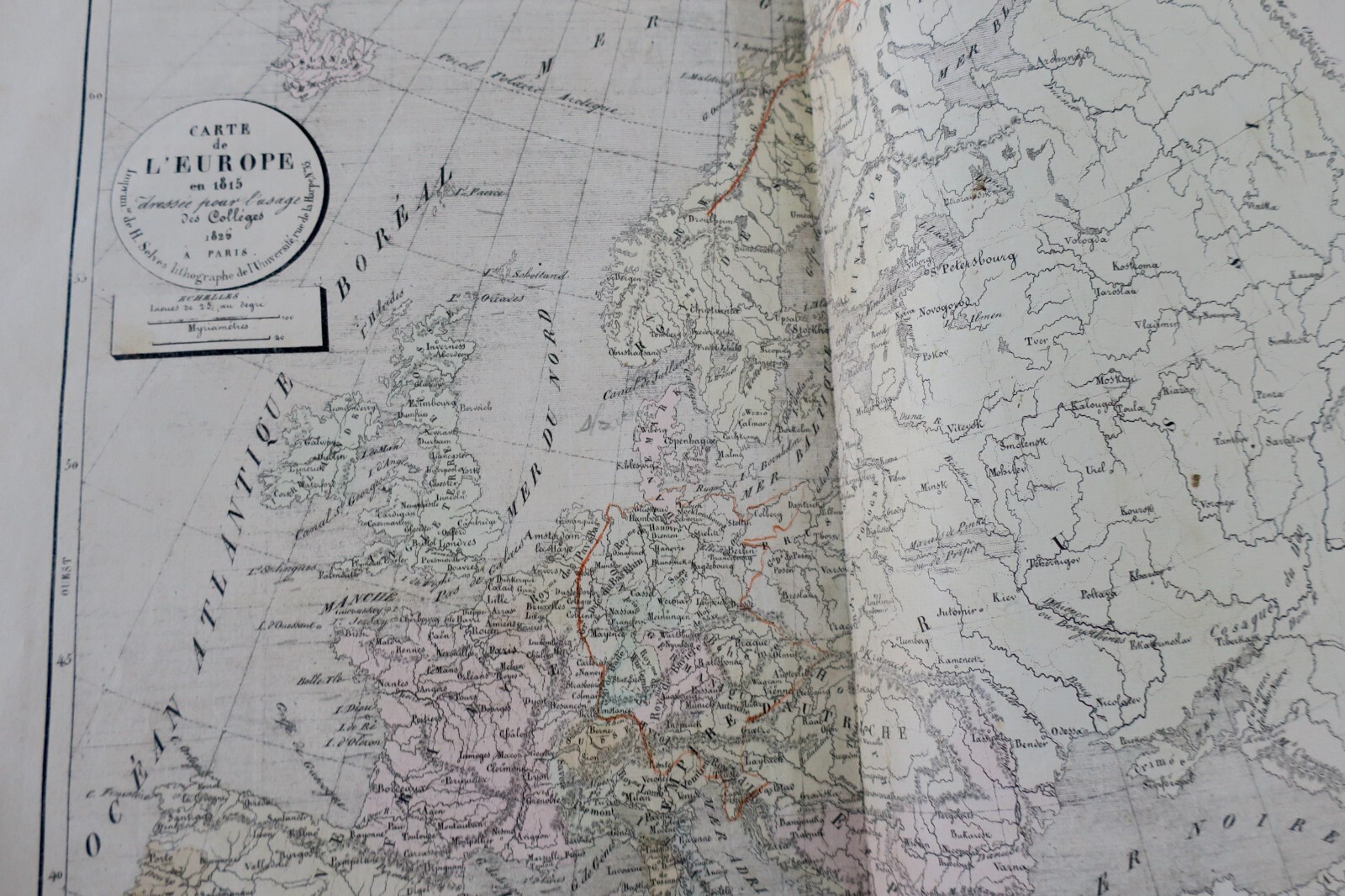
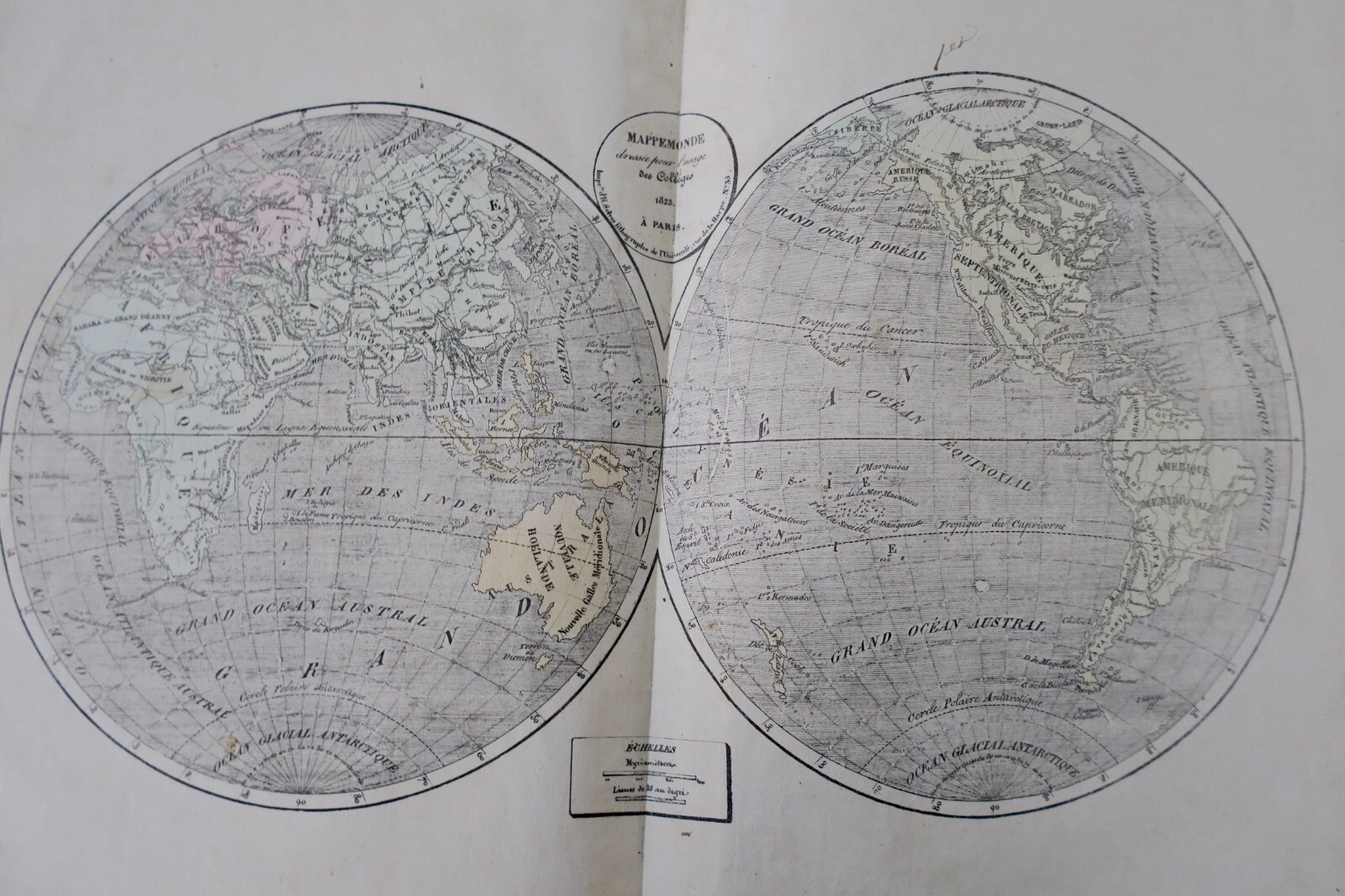
Geographical atlas prepared under the direction of the royal council for public education. Paris, Selves fils, 1826, 39 x 26 cm. Half vellum binding (somewhat worn), interior well preserved. For use in colleges. Work adopted for public instruction. Third part: current modern geography containing world map, Europe, Asia, Africa, North America, South America, France by department, Netherlands, Germany, Switzerland, Italy,…
Read full description ↓
LA LIBRAIRIE ANTIQUE
Independent bookshop since 1995, Paris
Worldwide shipping · SLAM membership pending[*]
[*] Membership of the Syndicate of Antiquarian and Modern Booksellers in progress.