0
0,00€
An empty cart
You have no item in your shopping cart


370,00€
❦One copy only
As with every antiquarian book, this is the only copy we hold. Once sold, it will not be restocked.
Guaranteed authentic
Every book is examined and described individually by us. Professional booksellers since 1995.
In stock
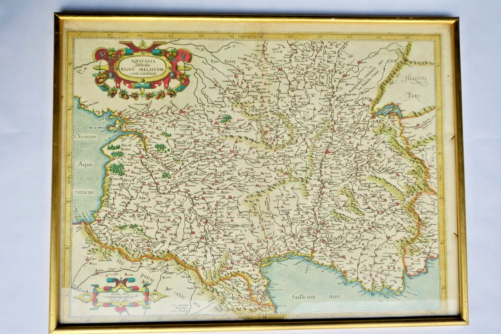
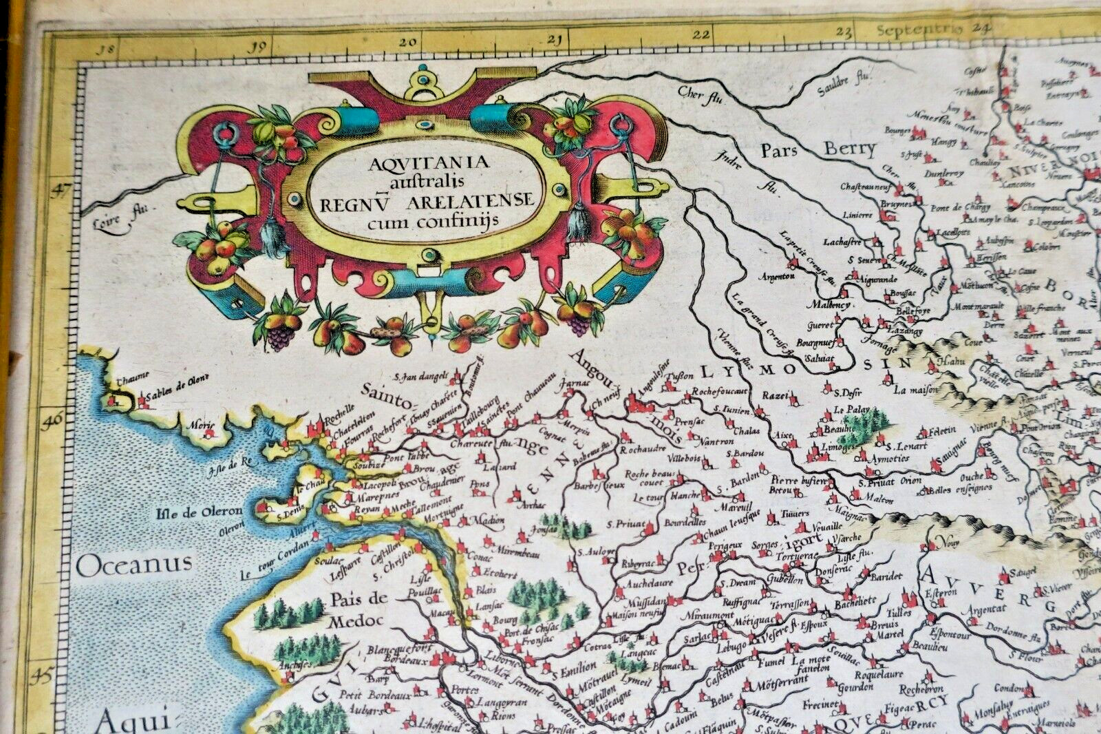
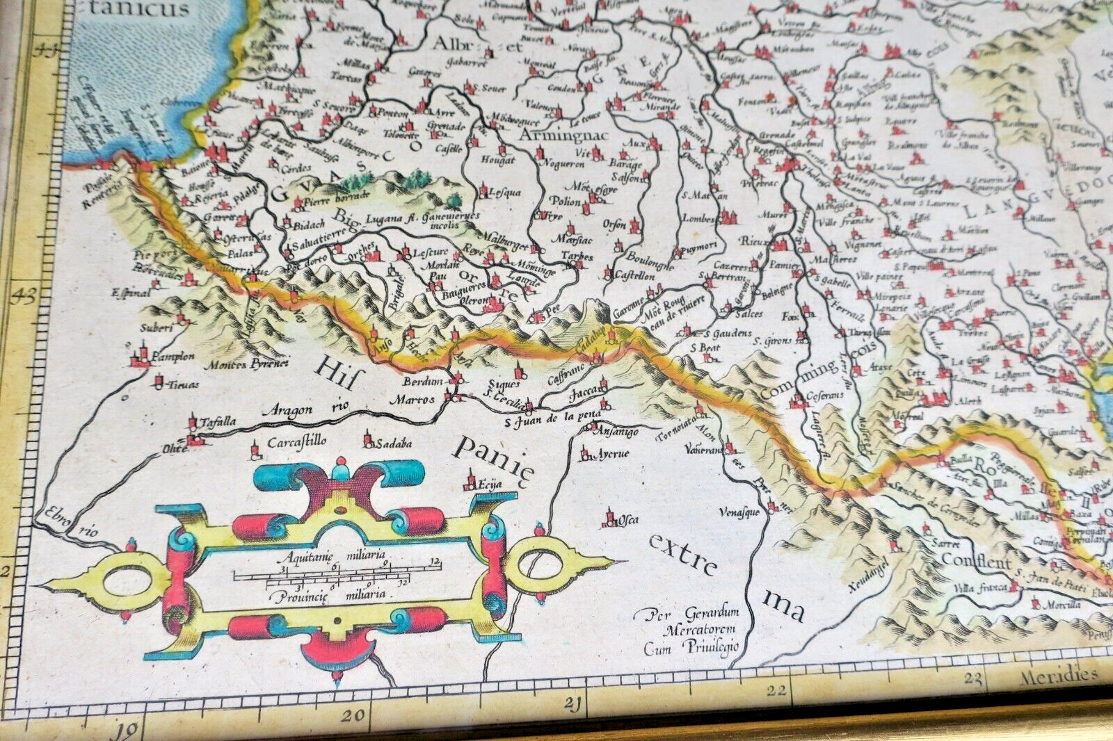
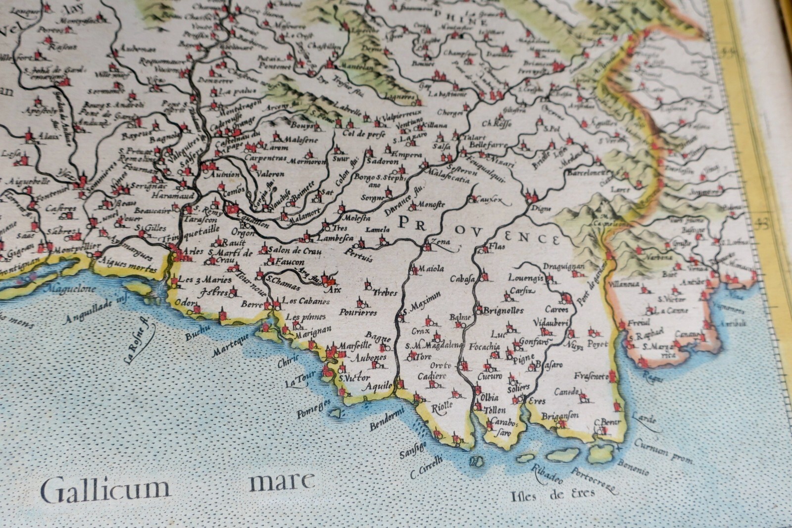
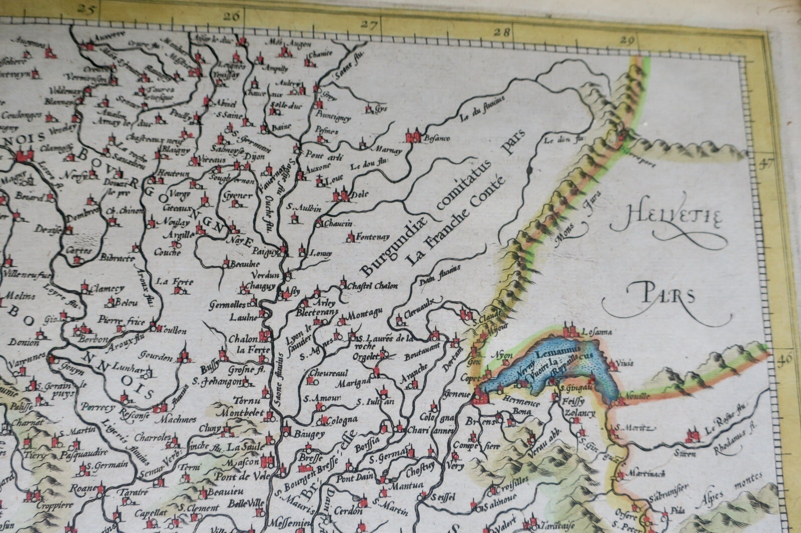
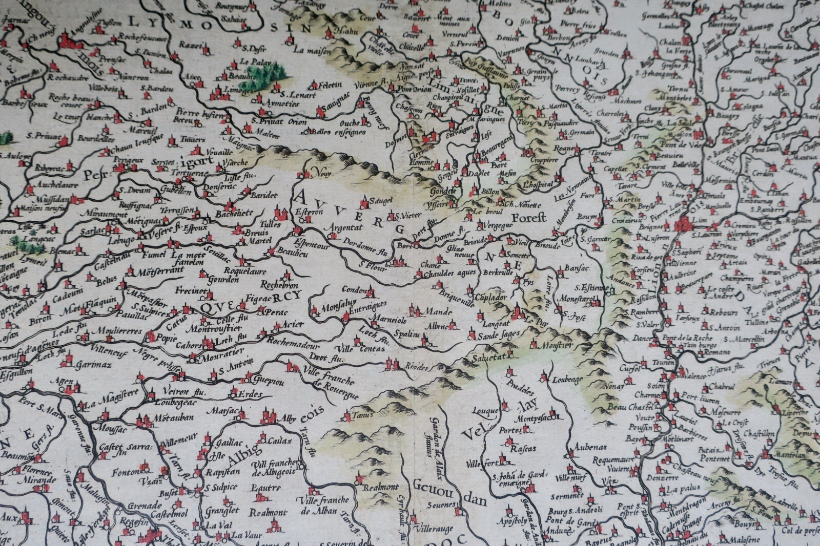
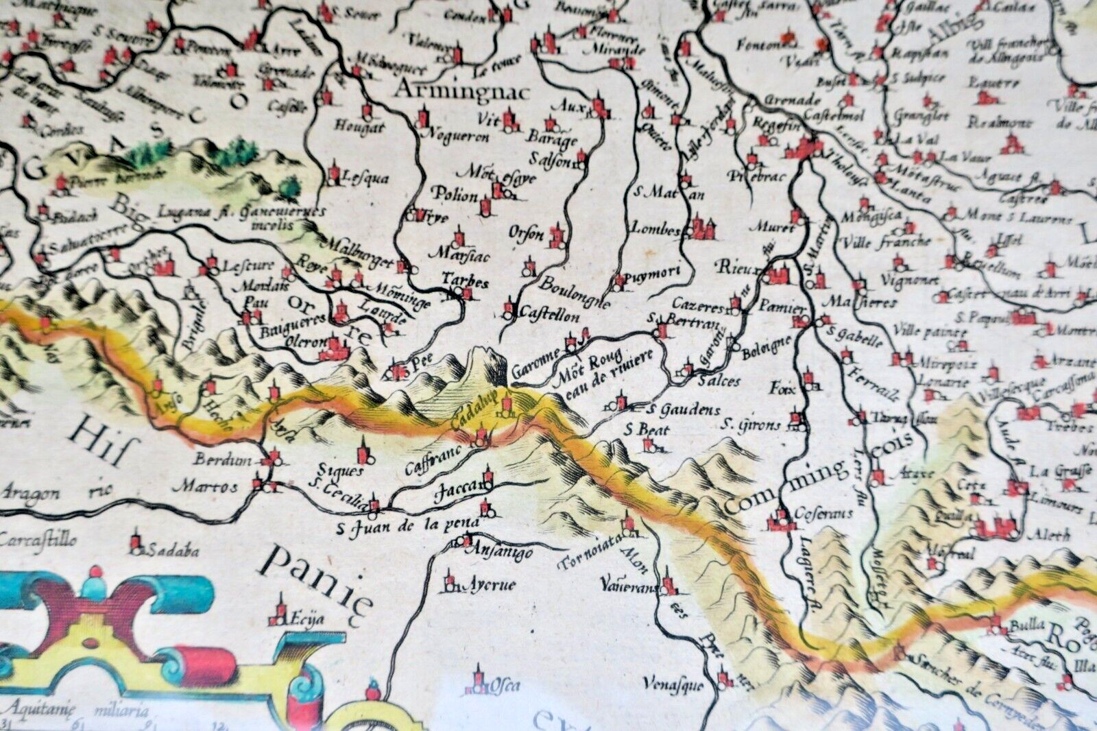
This ancient map, engraved around 1610 under the name Mercator, depicts the region of Aquitaine with particular attention to the southern territories, including the kingdom of Arles and its borders. Produced at a time when cartography was rapidly evolving under the impetus of great explorers, this plate reflects the geographical and political knowledge of the Renaissance, mixing scientific precision and…
Read full description ↓This ancient map, engraved around 1610 under the name Mercator, depicts the region of Aquitaine with particular attention to the southern territories, including the kingdom of Arles and its borders. Produced at a time when cartography was rapidly evolving under the impetus of great explorers, this plate reflects the geographical and political knowledge of the Renaissance, mixing scientific precision and antique heritage. Of certain bibliophilic interest, this print offers a historical testimony of the territorial representations of southern Europe at the dawn of the 17th century, while illustrating the characteristic cartographic style of Mercator’s workshop. The condition of the sheet, noted as conforming to its age, suggests possible traces of wear or restoration, typical of ancient documents exposed to centuries of use and conservation.
LA LIBRAIRIE ANTIQUE
Independent bookshop since 1995, Paris
Worldwide shipping · SLAM membership pending[*]
[*] Membership of the Syndicate of Antiquarian and Modern Booksellers in progress.
Tell us what is not working, we fix things quickly. The page you are on is attached automatically.