Aller au contenu principal

Enter your keyword

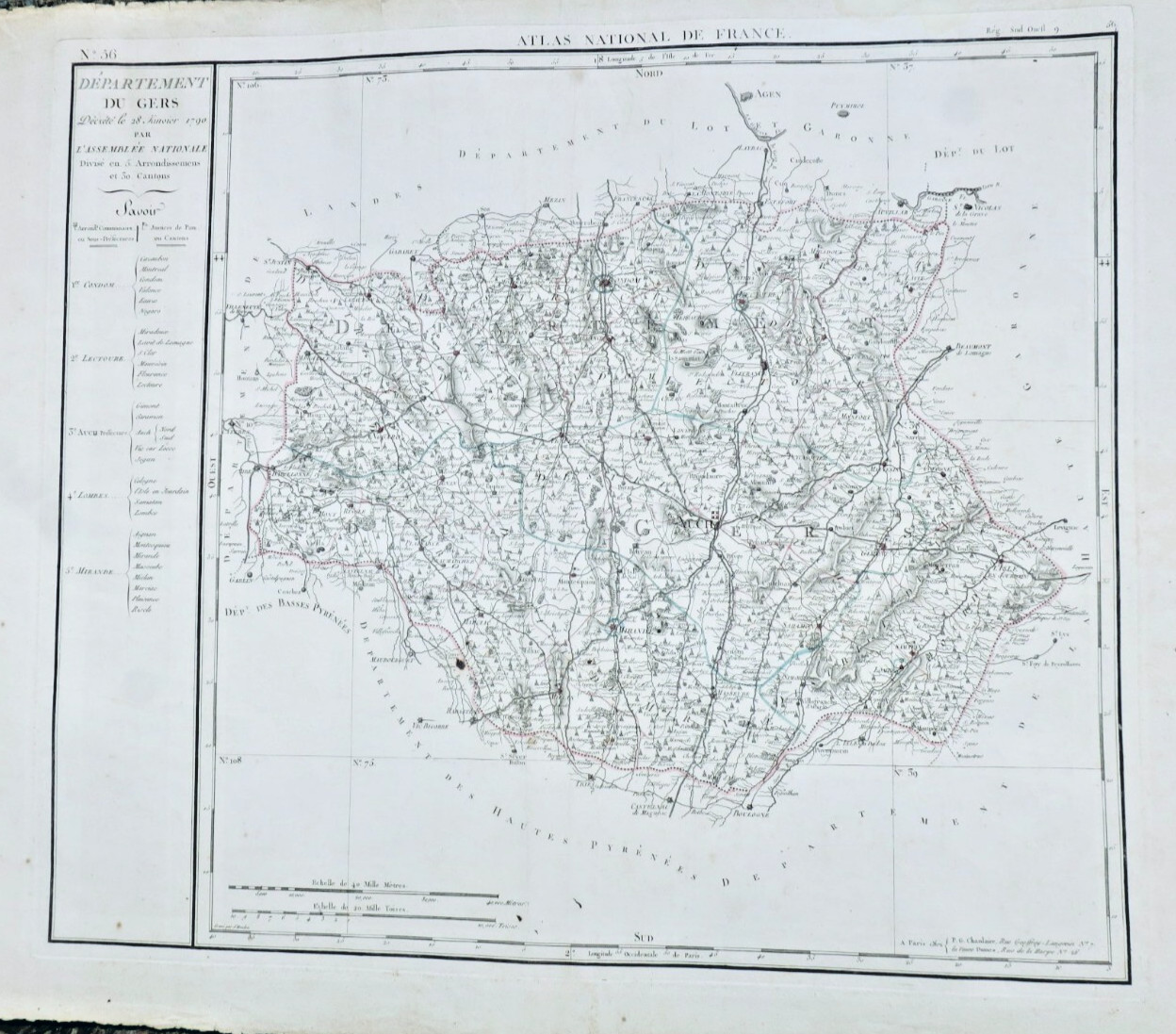
First printed map of Gers Department, 1790
Sold

First printed map of Gers Department, 1790

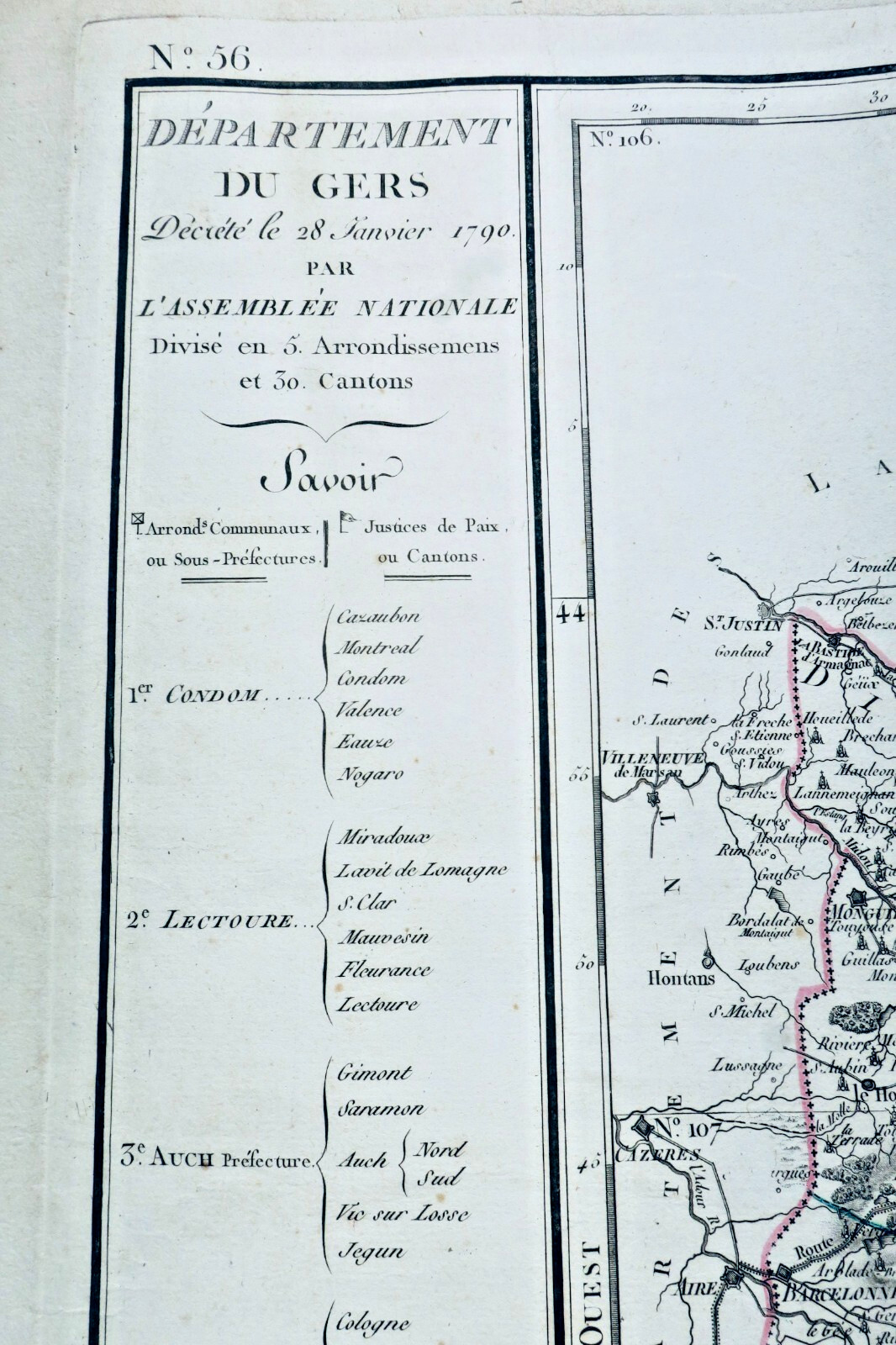
Original title : Gers 32 Departamento De GERS 1790

VENDU

About this book

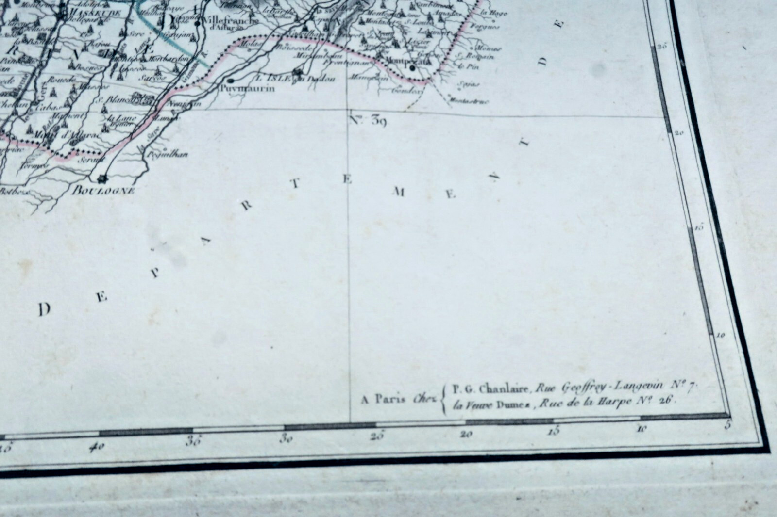
Gers Department decreed on January 28, 1790 by the National Assembly. Paris, PG Chanlaire and Veuve Dumez, engraved by Houdon, 590 x 860 mm (edge to edge). First printed map of Gers Department, engraved by François d'Houdan for the National Atlas of France, divided into 5 districts or sub-prefectures and 29 cantons or justices of the peace. Auch, departmental prefecture,…

Read full description ↓
Top fiabilité eBay depuis 19958 247 avis positifsLivraison soignée + suiviPaiement sécurisé
VENDU N/A .

Description

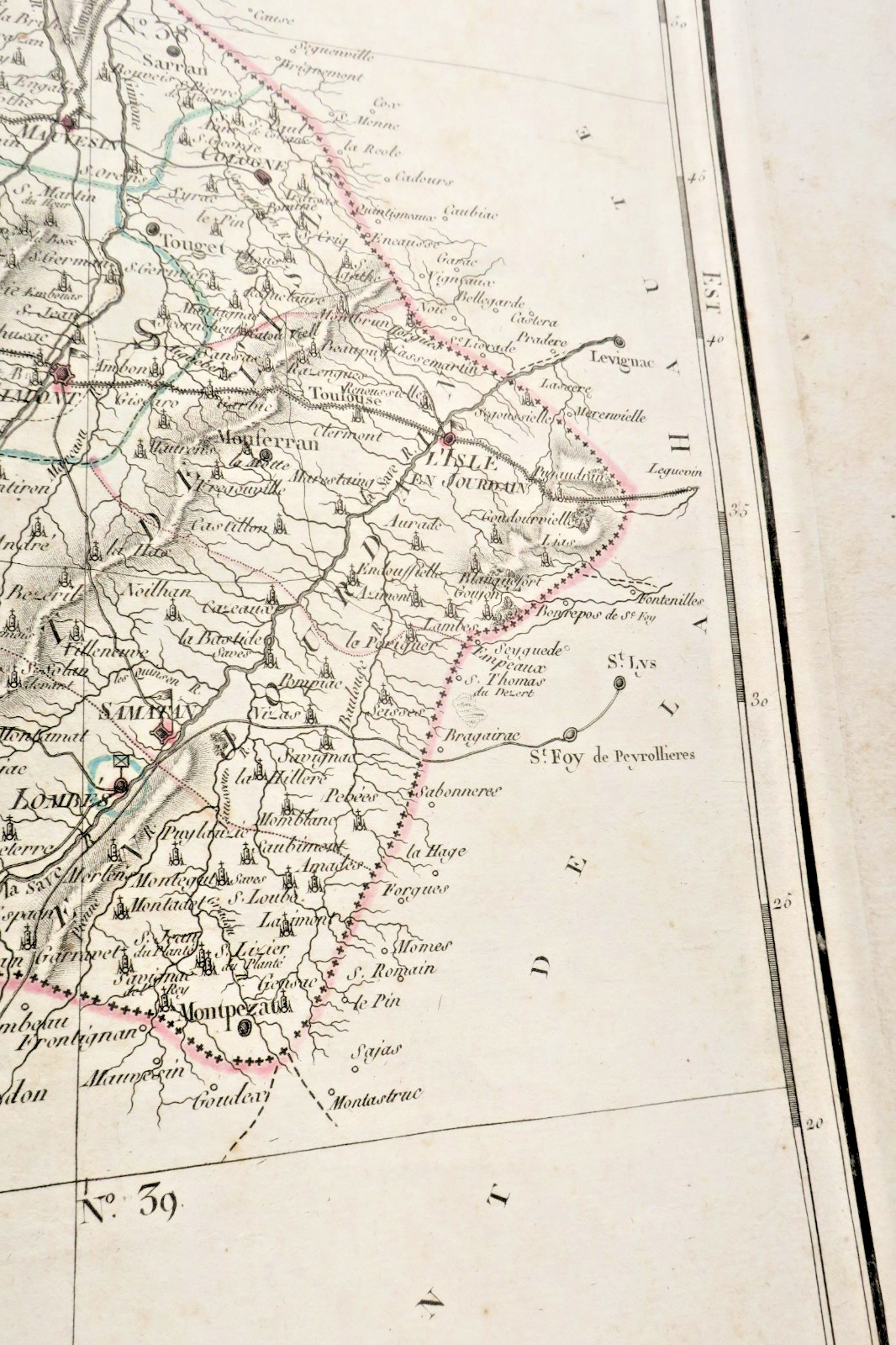
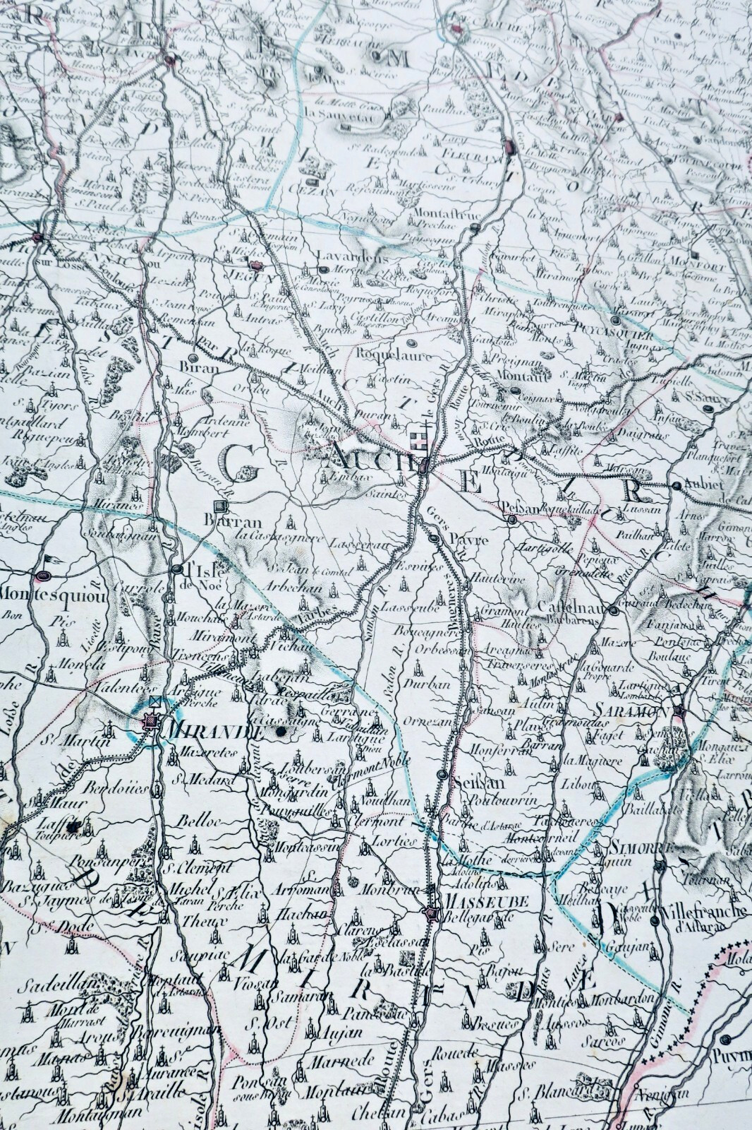
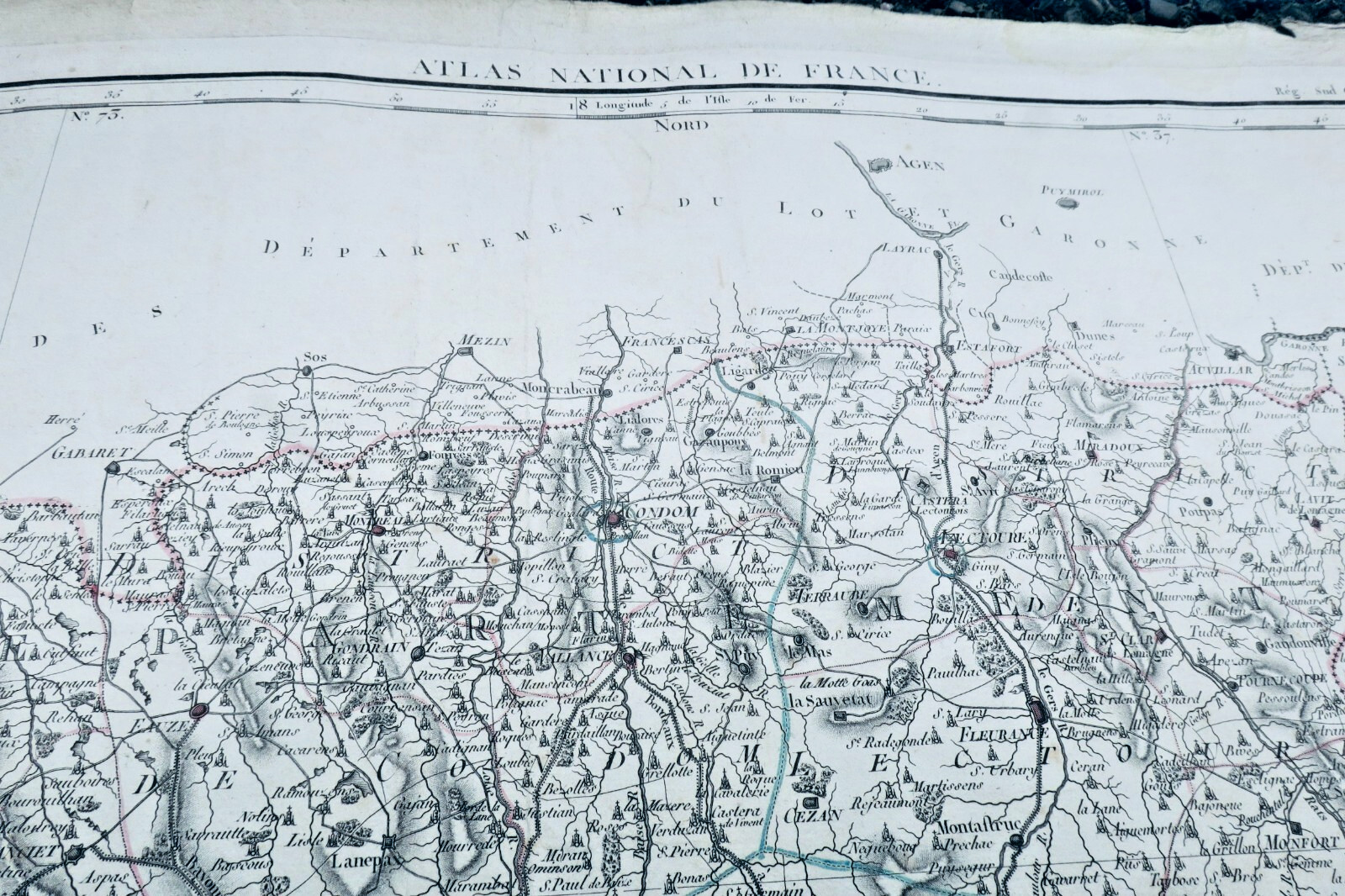
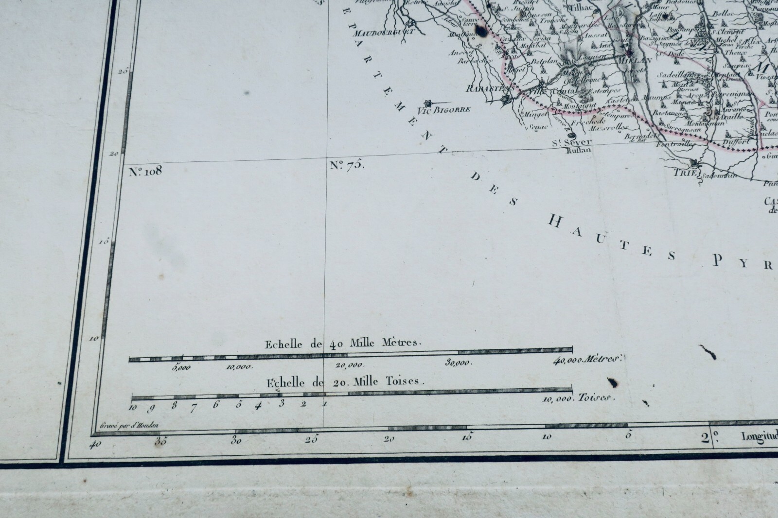
Gers Department decreed on January 28, 1790 by the National Assembly. Paris, PG Chanlaire and Veuve Dumez, engraved by Houdon, 590 x 860 mm (edge to edge). First printed map of Gers Department, engraved by François d'Houdan for the National Atlas of France, divided into 5 districts or sub-prefectures and 29 cantons or justices of the peace. Auch, departmental prefecture, sub-prefectural localities, principal communes of the cantons. Scale of 20,000 toises and 40,000 meters, on laid paper uncut, small cuts, halos on margins, small foxing on the edge of the department in the municipality of Sauveterre (5 mm). Beautiful object, well preserved.

LA LIBRAIRIE ANTIQUE
Independent bookshop since 1995, Paris
Worldwide shipping · SLAM membership pending[*]

[*] Membership of the Syndicate of Antiquarian and Modern Booksellers in progress.

Vendeur Top Fiabilite depuis 1995

Vous etes deja sur La Librairie Antique

Merci de votre confiance ! Nous sommes effectivement presents sur eBay avec 99,8 % de satisfaction client, mais notre catalogue complet de 30 000 livres anciens vit uniquement ici, sur lalibrairieantique.fr.

Voir quand meme sur eBay