1 061,25€
Sous-total : 1 061,25€


















Sous-total : 1 061,25€


Sous-total : 1 061,25€

75,00€
In stock
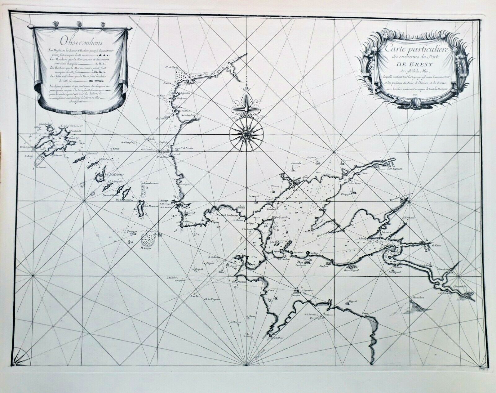
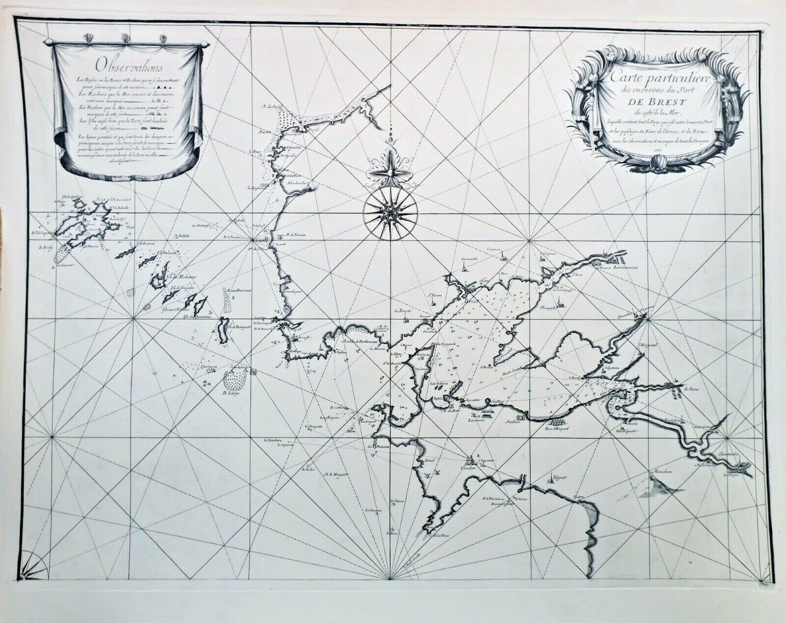
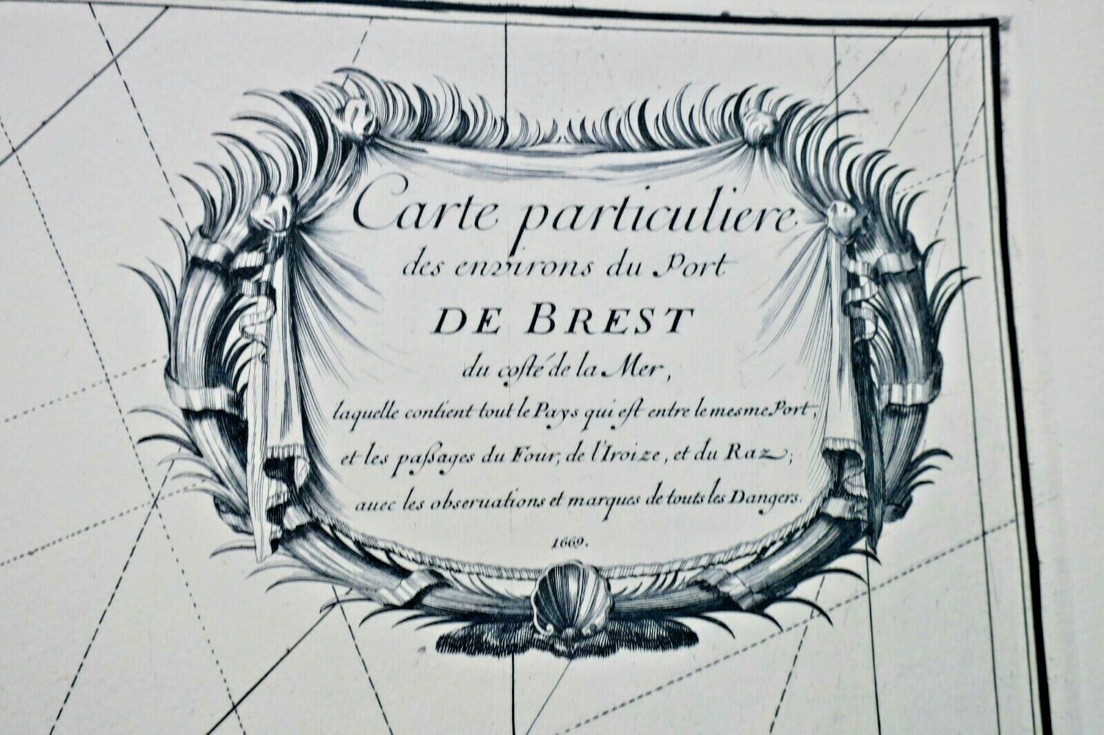
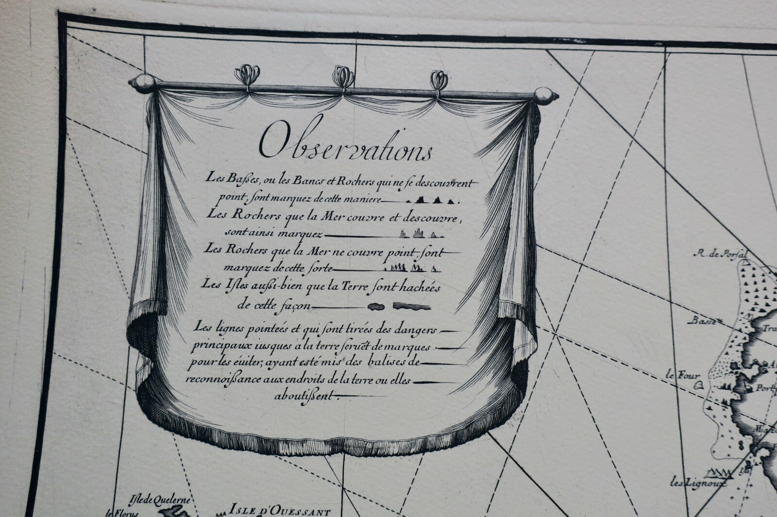
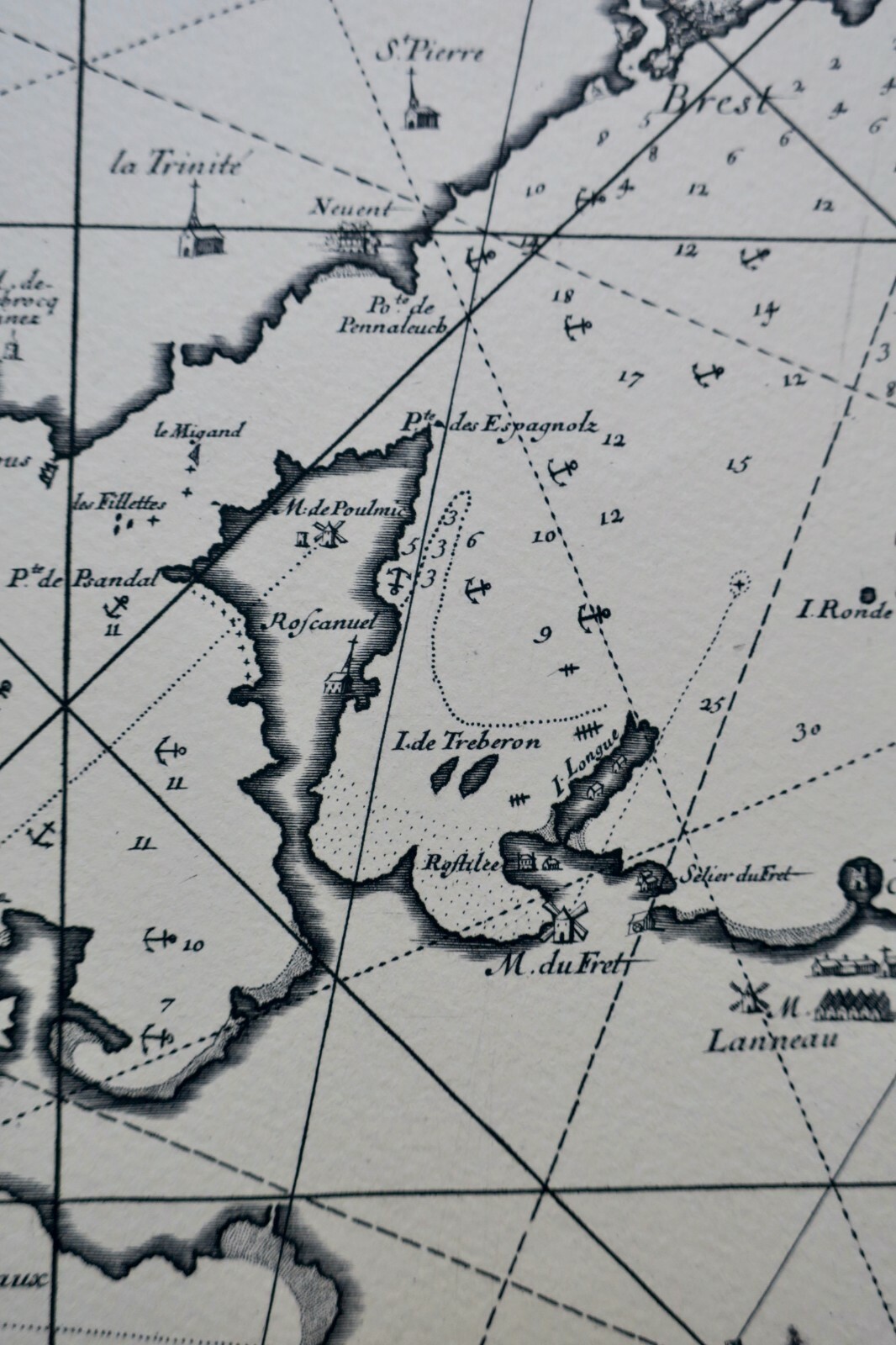
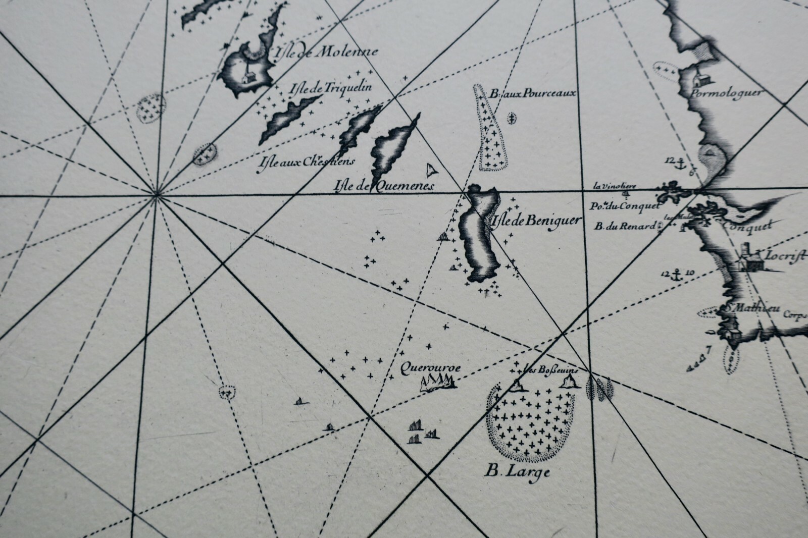
Particular map of the surroundings of Brest harbor, covering the area between the port and the landscapes of Le Fret, L'Iroise, and Raz. Includes observations and markings of all sea hazards. Superb and rare engraved map on Arches vellum paper, in a cuvette format.
LA LIBRAIRIE ANTIQUE
Independent bookshop since 1995, Paris
Worldwide shipping · SLAM membership pending[*]
[*] Membership of the Syndicate of Antiquarian and Modern Booksellers in progress.
Select at least 2 products
to compare