Aller au contenu principal

Enter your keyword

France and Colonial Territories - Illustrated Atlas 1871
Sold

France and Colonial Territories - Illustrated Atlas 1871

Original title : Atlas MIGEON, POIRÉE, VUILLEMIN. La France et ses Colonies. Atlas illustré 1871

VENDU

Guaranteed authentic
Every book is examined and described individually by us. Professional booksellers since 1995.

About this book

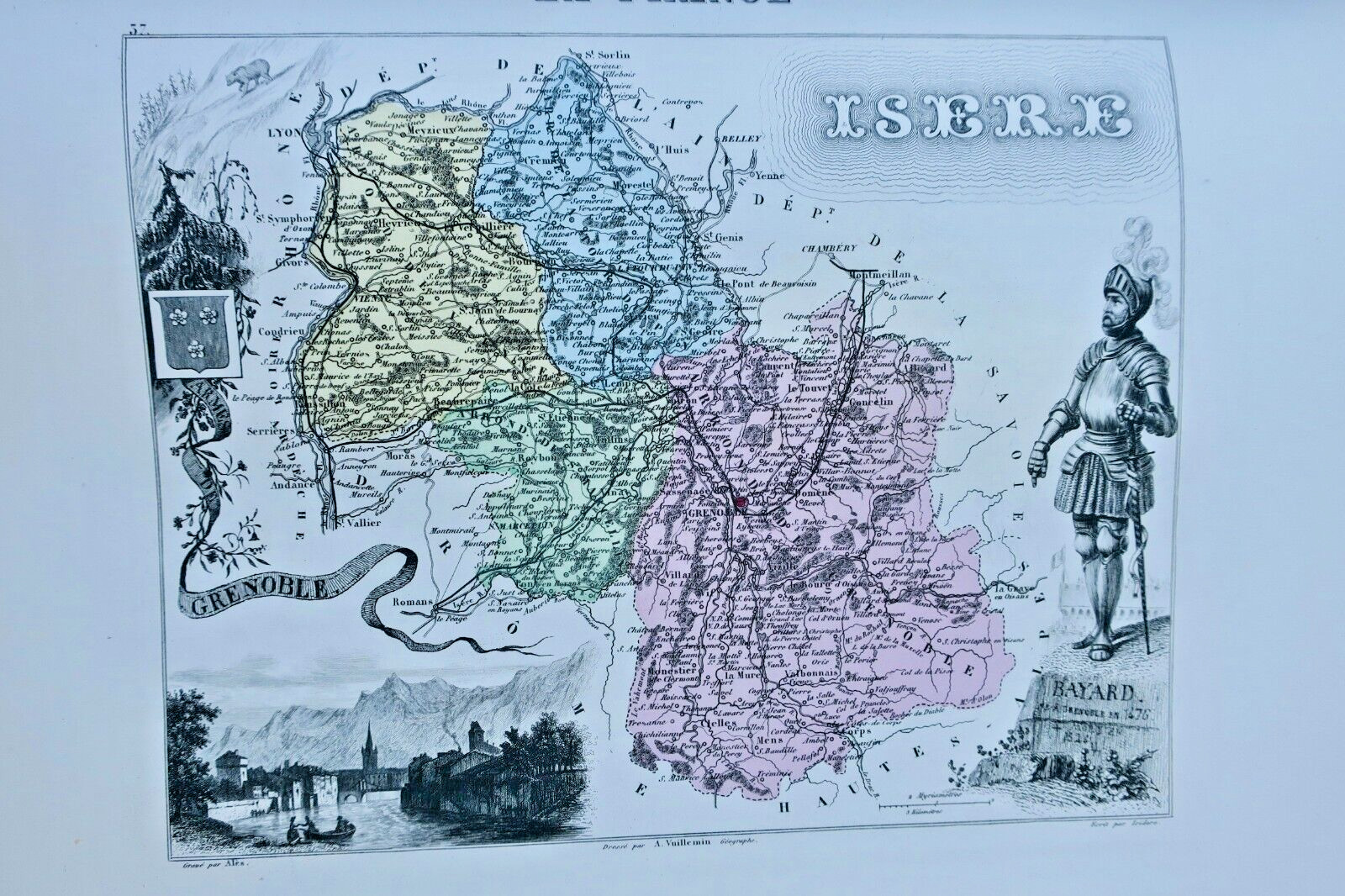
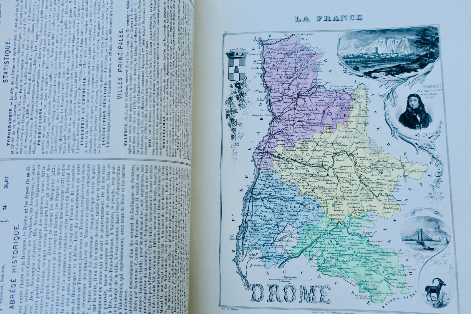
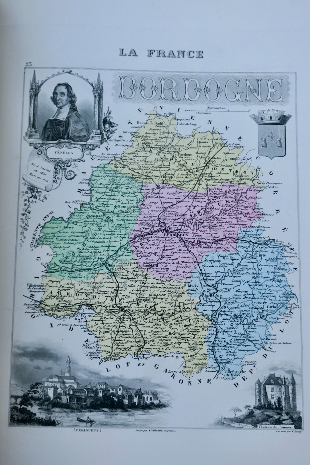
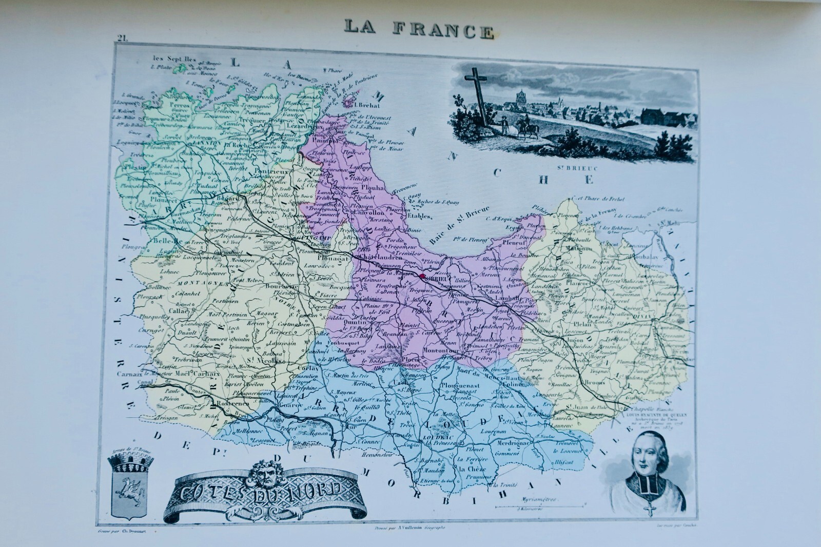
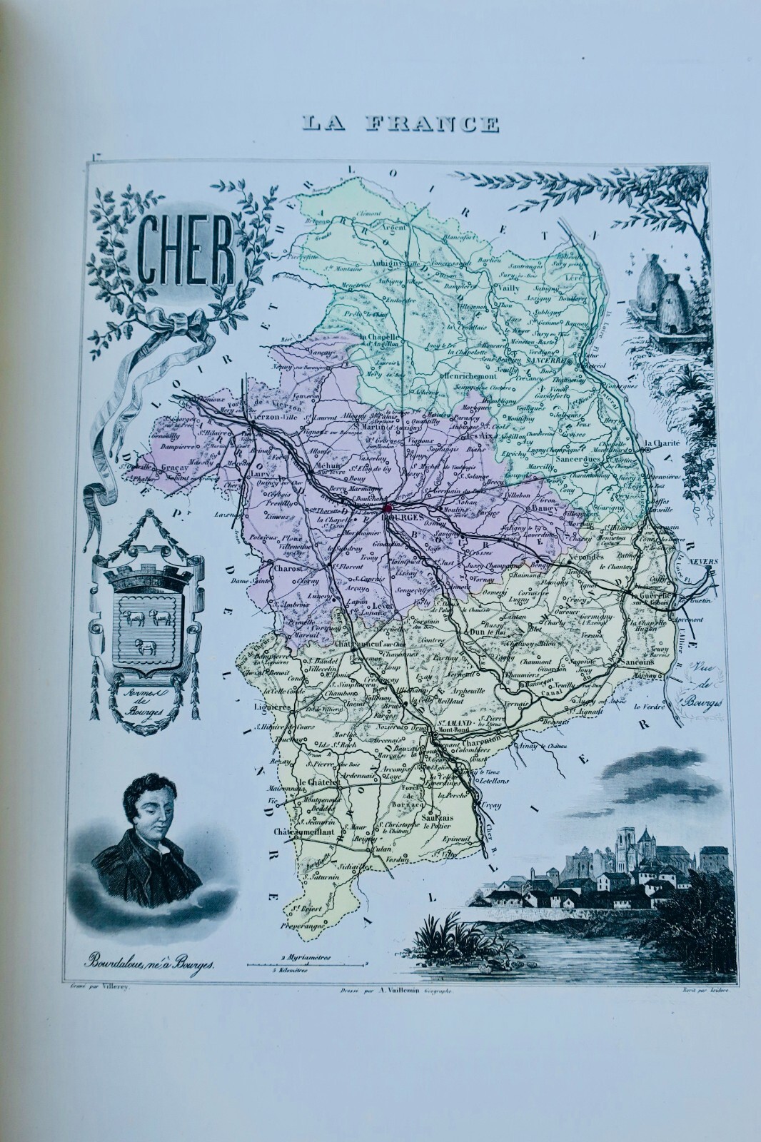
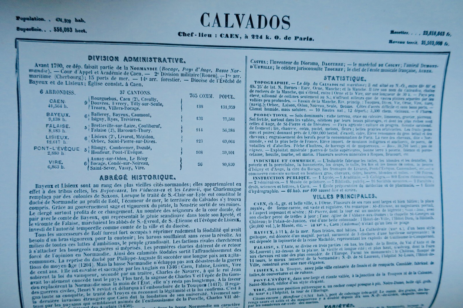
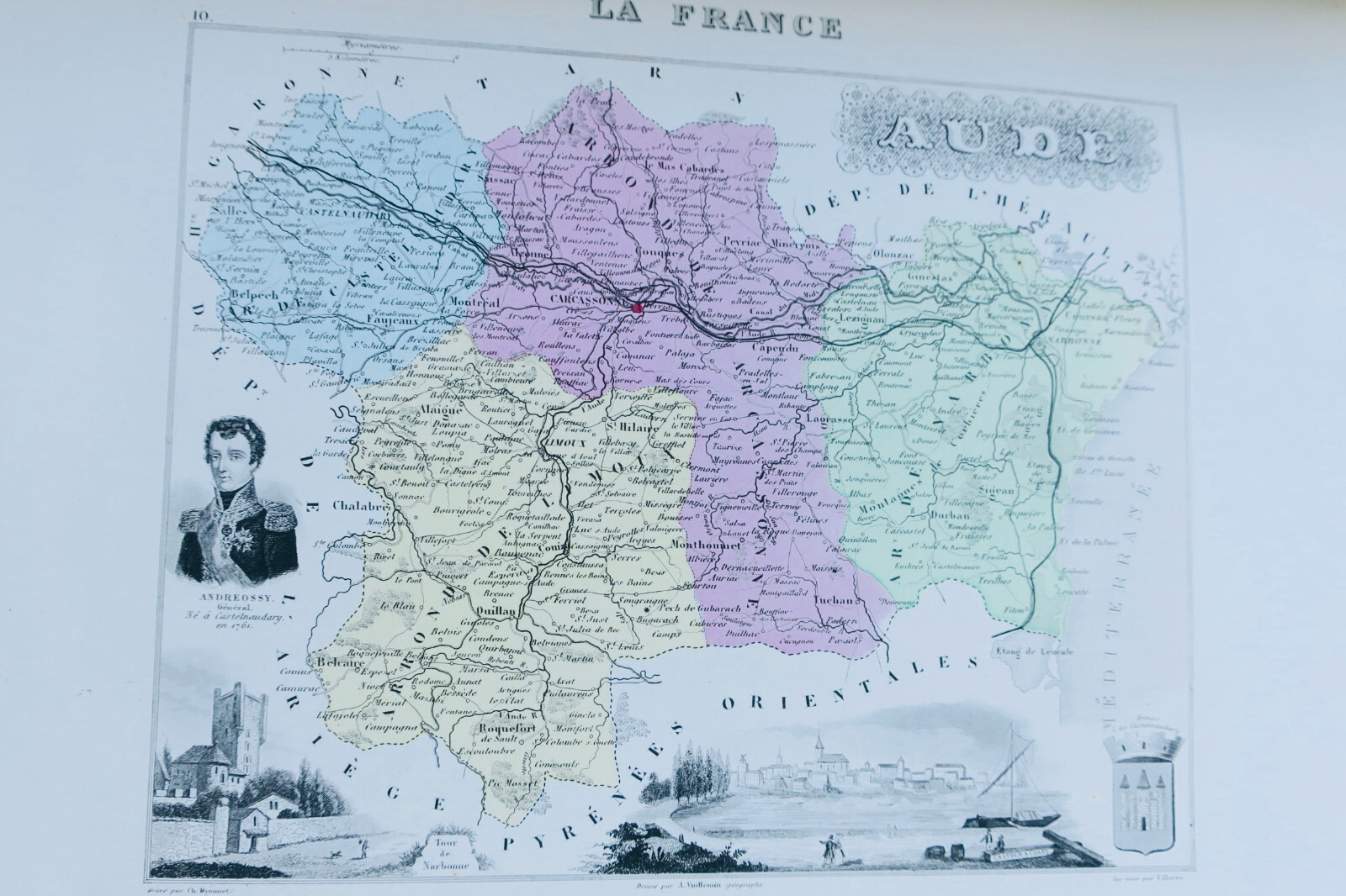
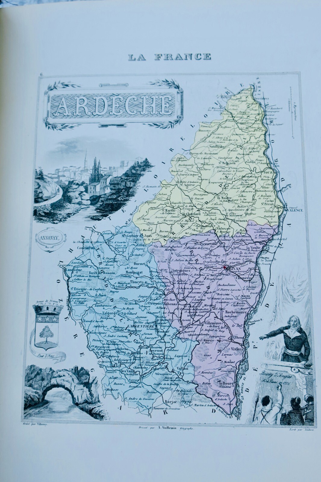
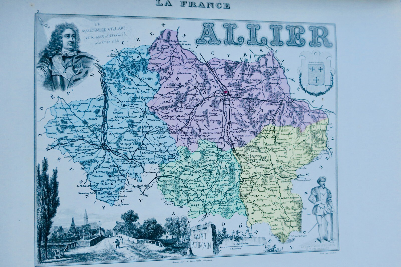
MIGEON, POIRÉE, VUILLEMIN. La France et ses Colonies. Illustrated atlas with 105 maps drawn after Cassini maps, War Department, Public Works and Navy archives by M. Vuillemin. Text compiled from official documents presenting: administrative, political, judicial, religious and military divisions; historical developments; biography; statistics; agricultural, industrial and commercial resources; educational and public institutions; detailed descriptions of arrondissement capitals and remarkable…

Read full description ↓
Top fiabilité eBay depuis 19958 247 avis positifsLivraison soignée + suiviPaiement sécurisé
VENDU N/A .
A question about this book?

Condition, collation, binding, additional photographs: write to us, we reply within 48 working hours.

Description

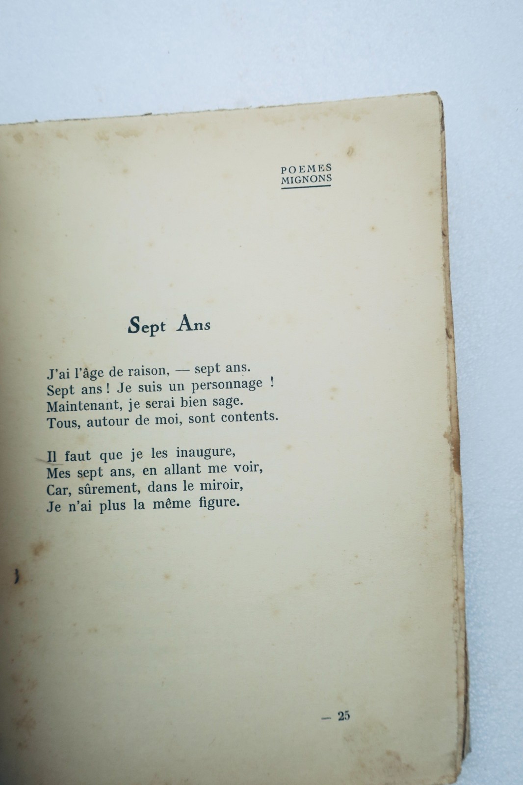
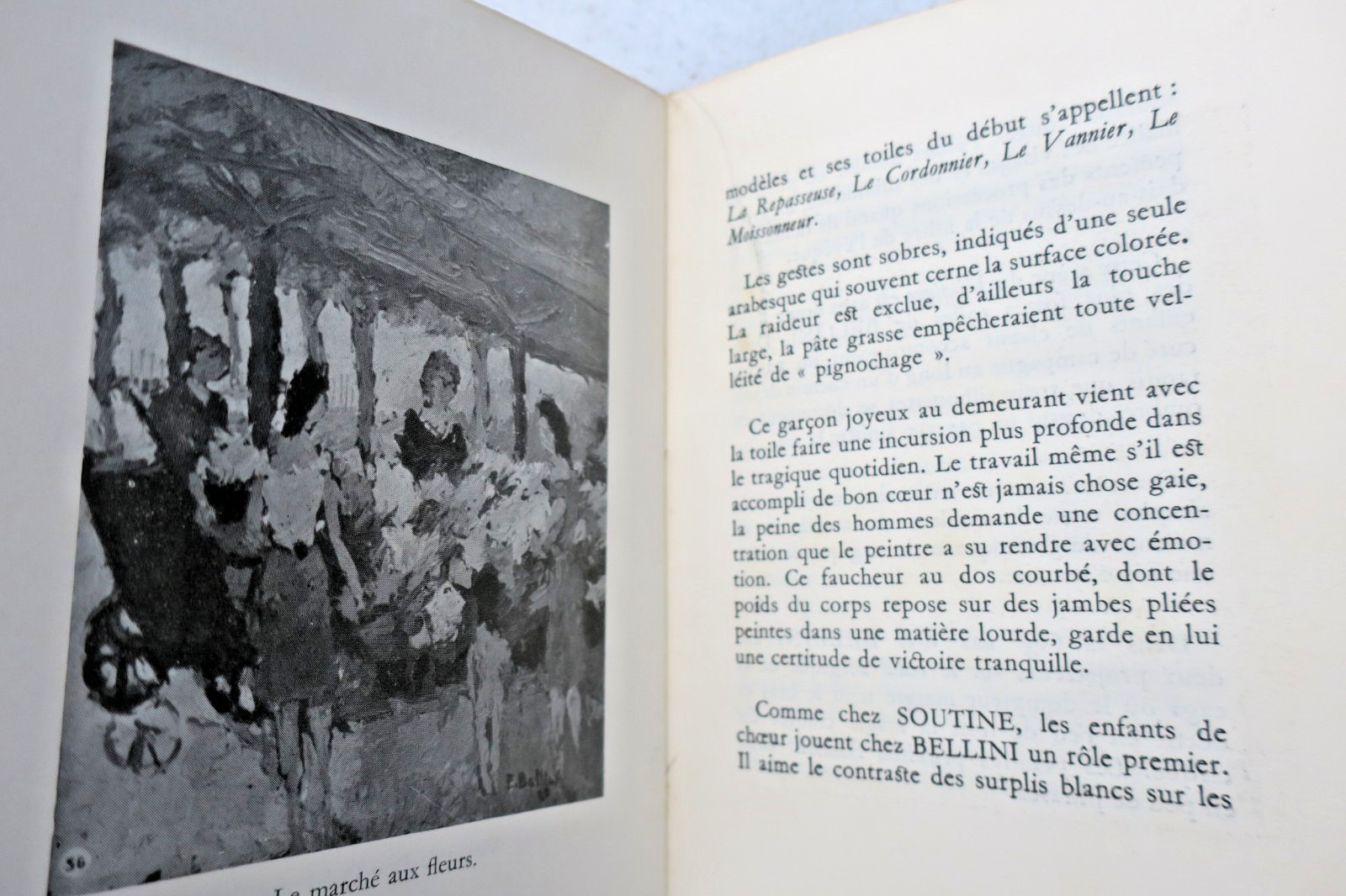
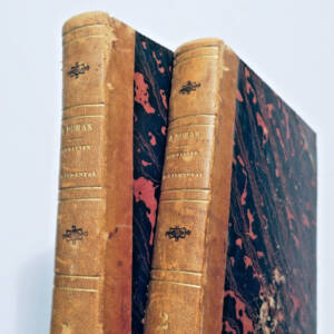
MIGEON, POIRÉE, VUILLEMIN. La France et ses Colonies. Illustrated atlas with 105 maps drawn after Cassini maps, War Department, Public Works and Navy archives by M. Vuillemin. Text compiled from official documents presenting: administrative, political, judicial, religious and military divisions; historical developments; biography; statistics; agricultural, industrial and commercial resources; educational and public institutions; detailed descriptions of arrondissement capitals and remarkable locations; moral and geographical curiosities of each department and French colony by Ernest POIREE. Reviewed and corrected by the Publisher with latest authentic information. Paris, J. Migeon, 1871, folio format, 28 x 36 cm. Percaline binding (damaged: boards detached but present, would benefit from fine rebinding). Fresh interior on quality paper with fine impression. Discrete foxing on margins of 10 leaves. Complete atlas with beautiful hand-colored maps mounted on stubs + 4 large folding maps of France, Paris (railways) and Europe.

LA LIBRAIRIE ANTIQUE
Independent bookshop since 1995, Paris
Worldwide shipping · SLAM membership pending[*]

[*] Membership of the Syndicate of Antiquarian and Modern Booksellers in progress.

Vendeur Top Fiabilite depuis 1995

Vous etes deja sur La Librairie Antique

Merci de votre confiance ! Nous sommes effectivement presents sur eBay avec 99,8 % de satisfaction client, mais notre catalogue complet de 30 000 livres anciens vit uniquement ici, sur lalibrairieantique.fr.

Voir quand meme sur eBay