0,00€

Sold
Description
Geographical Atlas Drawn under the Direction of the Royal Council 1826
The description of this item has been automatically translated. If you have any questions, please feel free to contact us.
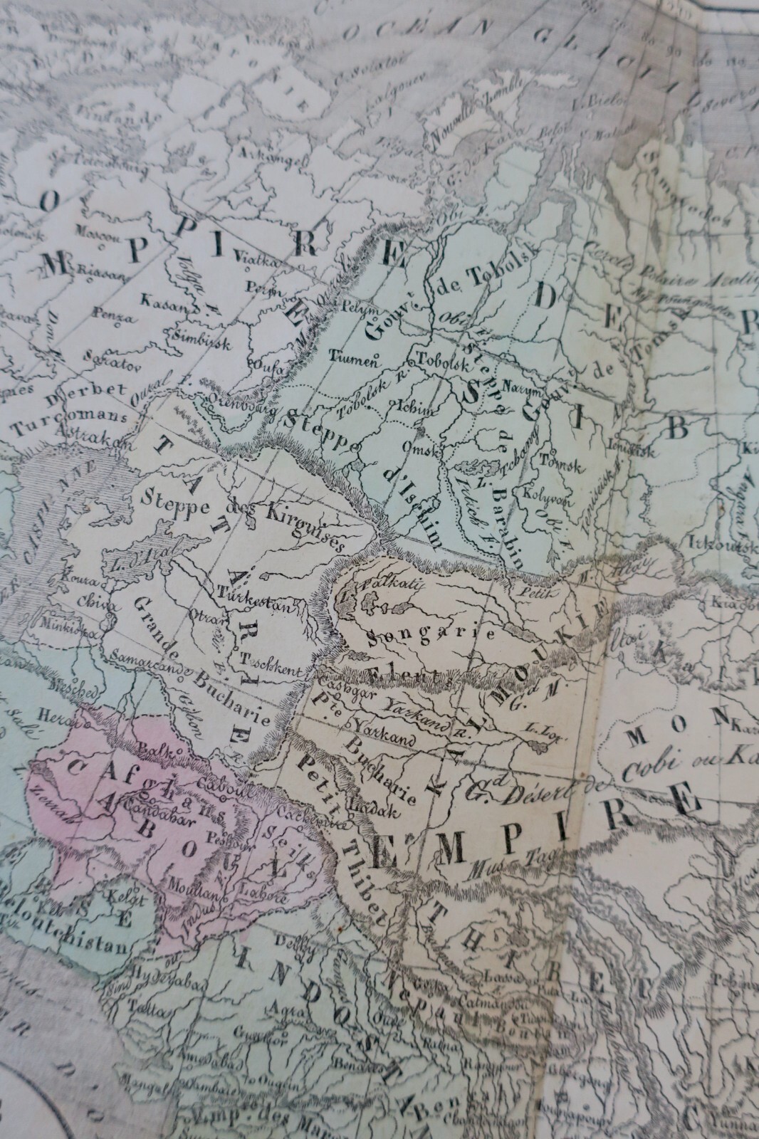
Geographic atlas drawn up under the direction of the Royal Council for Public Instruction.
Paris, Selves Fils, 1826, 39 x 26 cm., Half-Vélin binding (well-defrained), fairly well preserved interior.
For the use of colleges. Work adopted for public education. Part 3rd: Current modern geography containing: Mappemonde, Europe, Asia, Africa, northern America, southern America, France by department, Netherlands, Germany, Switzerland, Italy, Spain and Portugal, British Islands, Sweden and Denmark, Russia of Europe, Turkey of Europe.
Original edition, Atlas of 20 double cards mounted on tabs.
Geographic atlas drawn up under the direction of the Royal Council for Public Instruction. Paris, Selves Fils, 1826, 39 x 26 cm., Half-Vélin binding (well-defrained), fairly well preserved interior. For the use of colleges. Work adopted for public education. Part 3rd: Current modern geography containing: Mappemonde, Europe, Asia, Africa, northern America, southern America, France by department, Netherlands, Germany, Switzerland, Italy, Spain and Portugal, British Islands, Sweden and Denmark, Russia of Europe, Turkey of Europe. Original edition, Atlas of 20 double cards mounted on tabs.