0,00€

Description
DUFOUR Atlas The Illustrated France 92 Maps Circa 1850 Antique Book
The description of this item has been automatically translated. If you have any questions, please feel free to contact us.
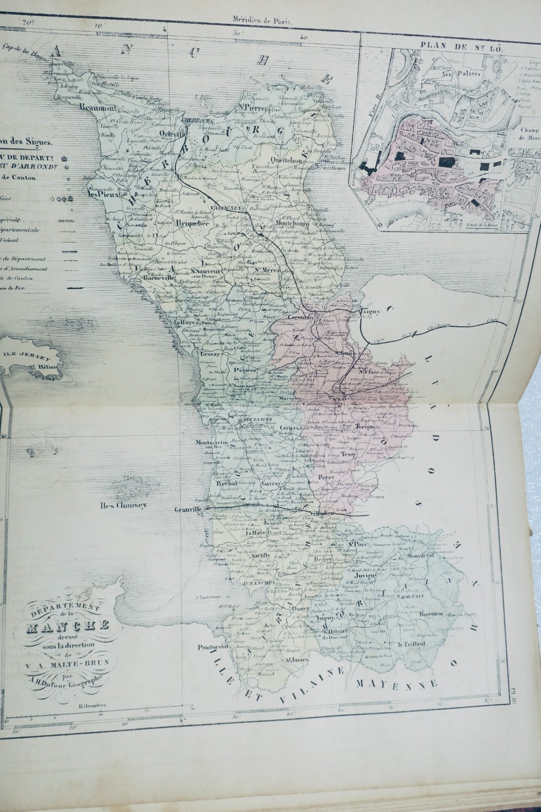
DUFOUR AH TRAINED BY MALTE-BRUN
France Illustrated. Atlas containing all the departments and plans of the capitals
BARBA Gustave, Paris, 20 x 28 cm., damaged half-leather binding (missing on the back, rubbed edges), 102 color maps (well preserved), a few rare cuts in the margins but without missing. A folding map of Paris (numerous tears with some small gaps), missing the double general map of France.
Well preserved apart from the defects reported
DUFOUR AH TRAINED BY MALTE-BRUN France Illustrated. Atlas containing all the departments and plans of the capitals BARBA Gustave, Paris, 20 x 28 cm., damaged half-leather binding (missing on the back, rubbed edges), 102 color maps (well preserved), a few rare cuts in the margins but without missing. A folding map of Paris (numerous tears with some small gaps), missing the double general map of France. Well preserved apart from the defects reported